The Little Brown Church of the Valley
 |
 |
 |
 |
 |
 |
 |
 |
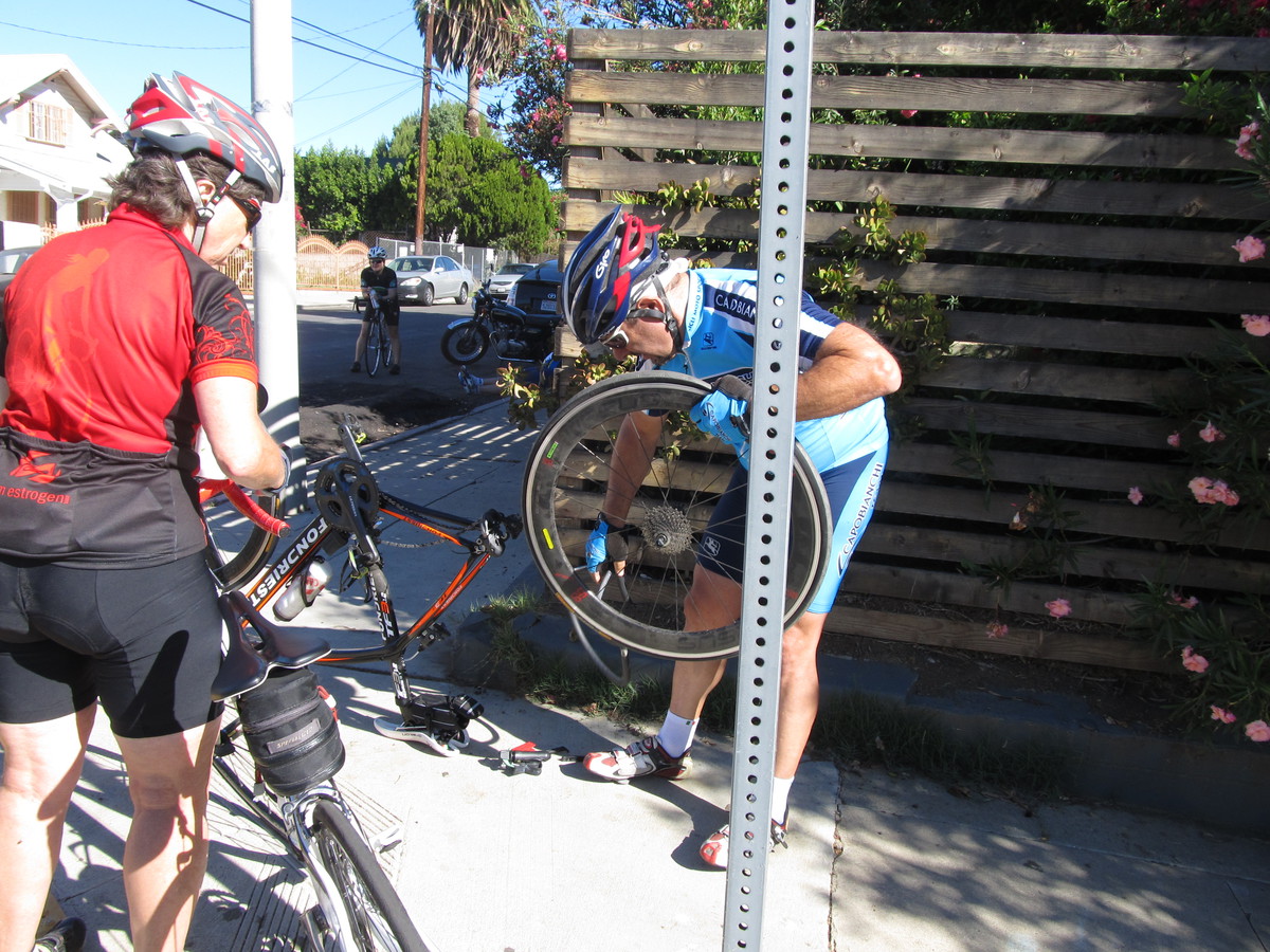
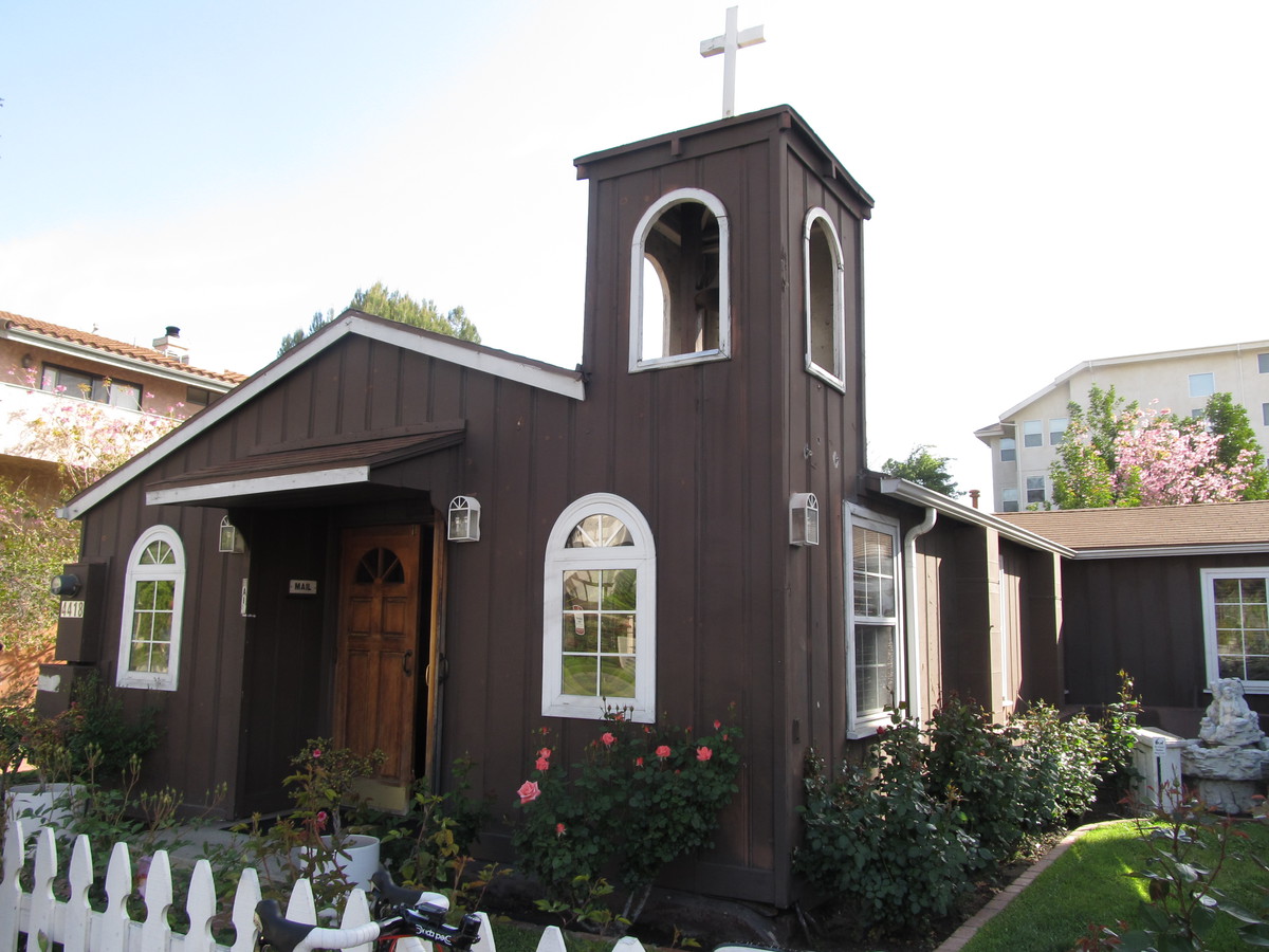
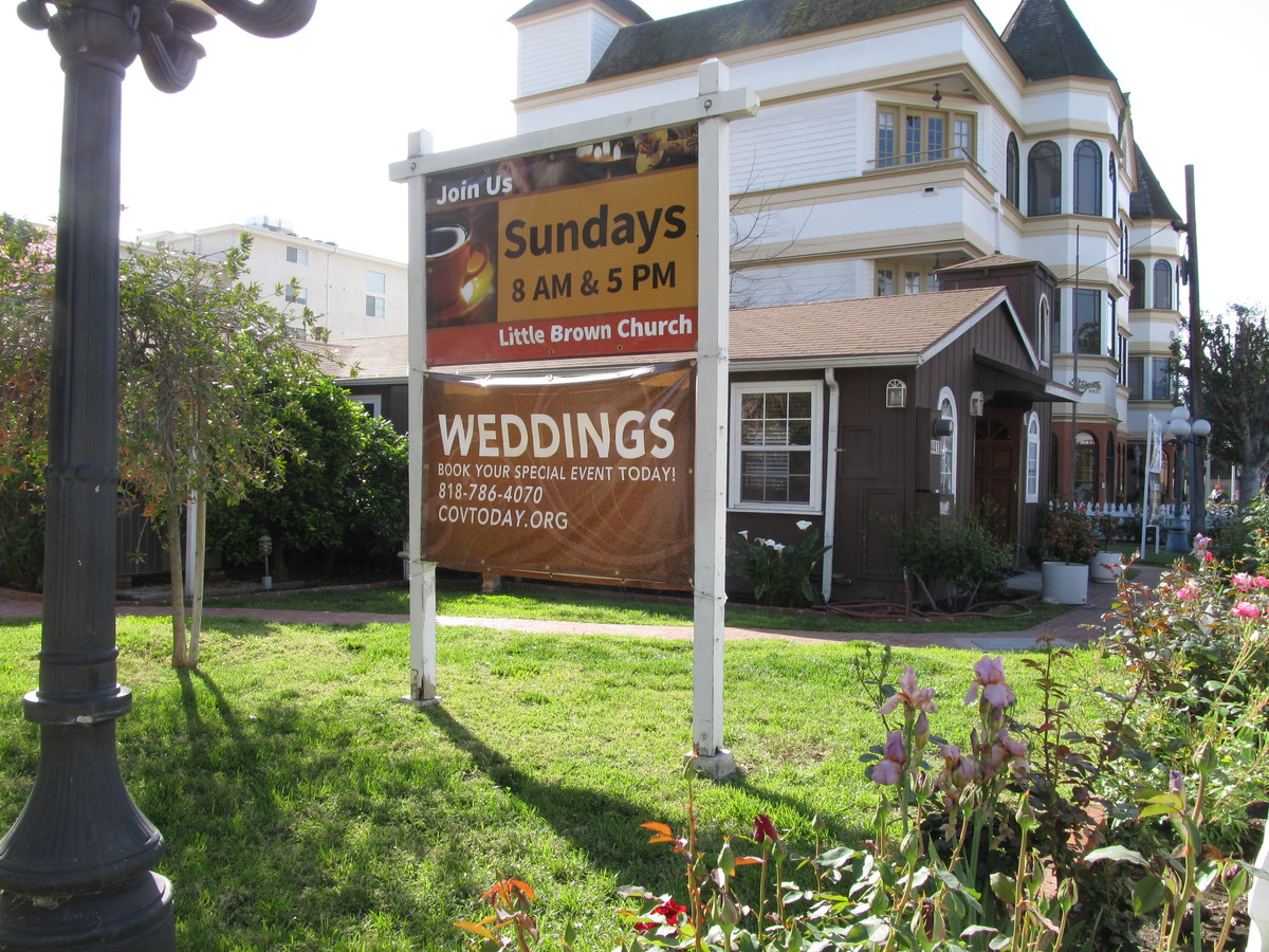
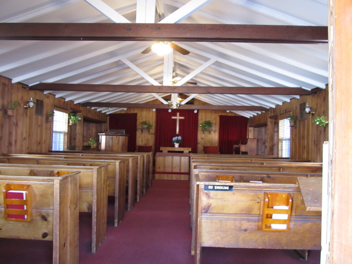
With all the talk about Nancy Reagan dying this week, the L.A. Times ran a short article about the Little Brown Church of the Valley in Studio City. This is where Ron and Nancy Reagan were married in 1952. So I thought this might make a good bit of sightseeing for the Sunday Morning Ride.
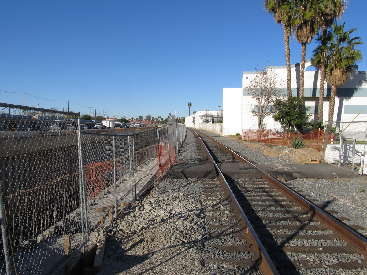
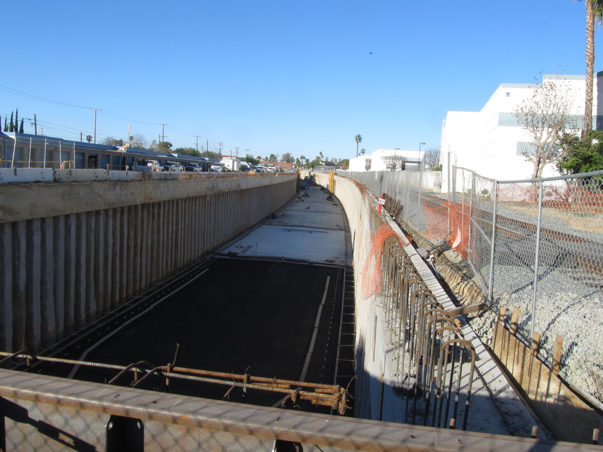
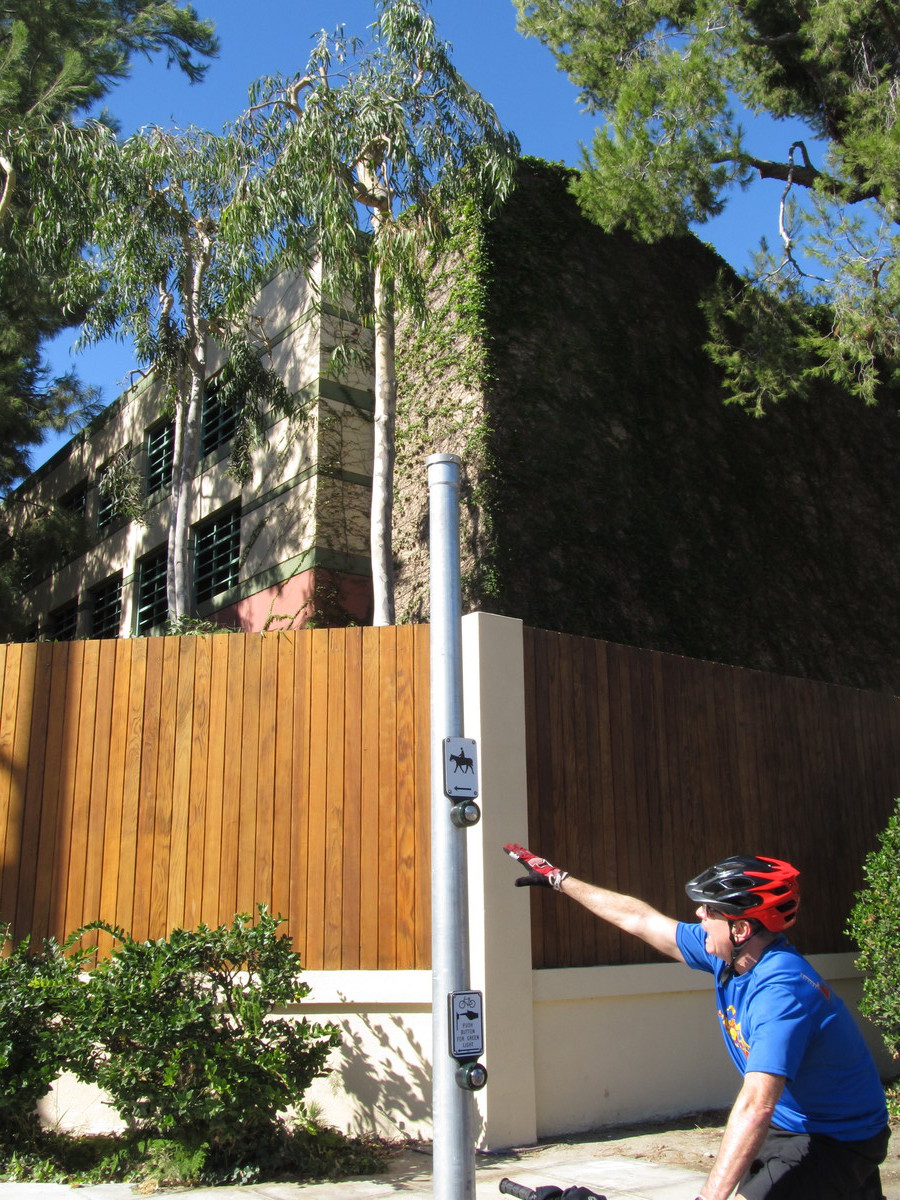
The route was basically the same as our Studio City for Gelato ride. Pretty much a straight shot west across Glendale and Burbank into the Valley,and west on Moorpark St to Coldwater Canyon. The church is just a few hundred feet north of Moorpark St. And it’s little all right. It’s a quaint little church.
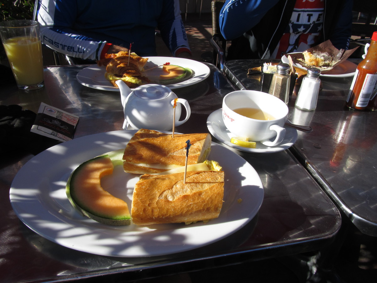
Heading back, we stopped at the Gelato Bar in Studio City. I don’t remember how we found that place, but we stop there whenever we’re out that way.
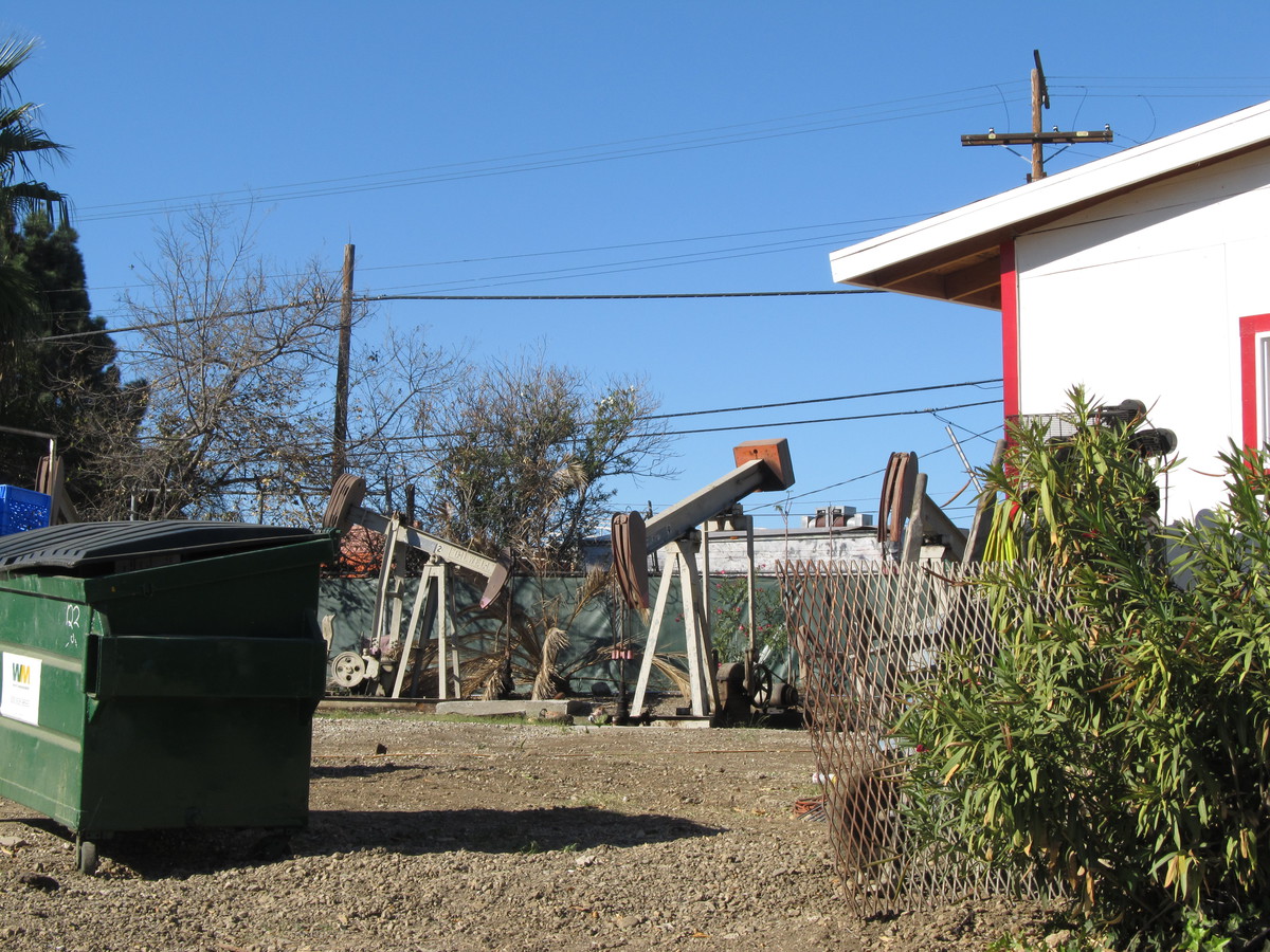
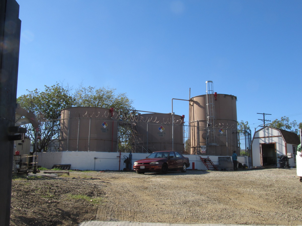
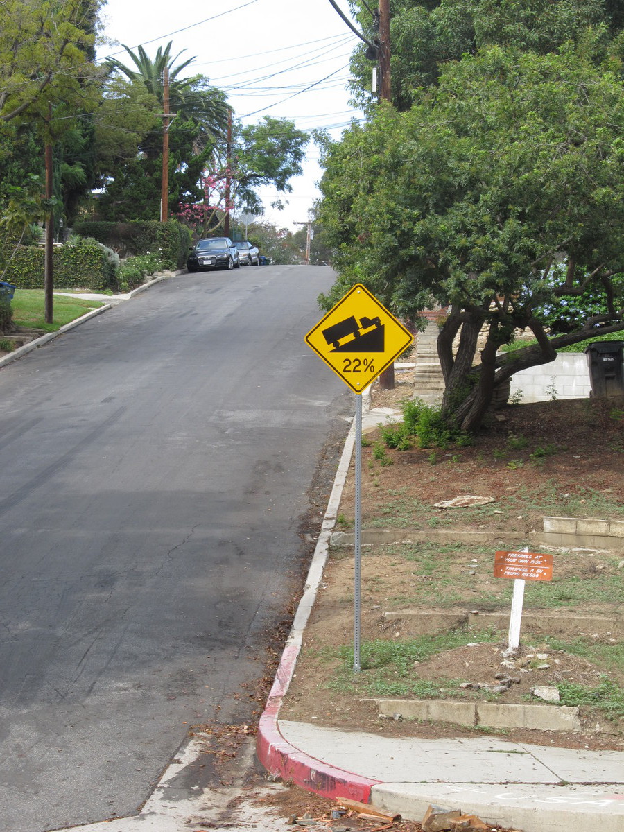
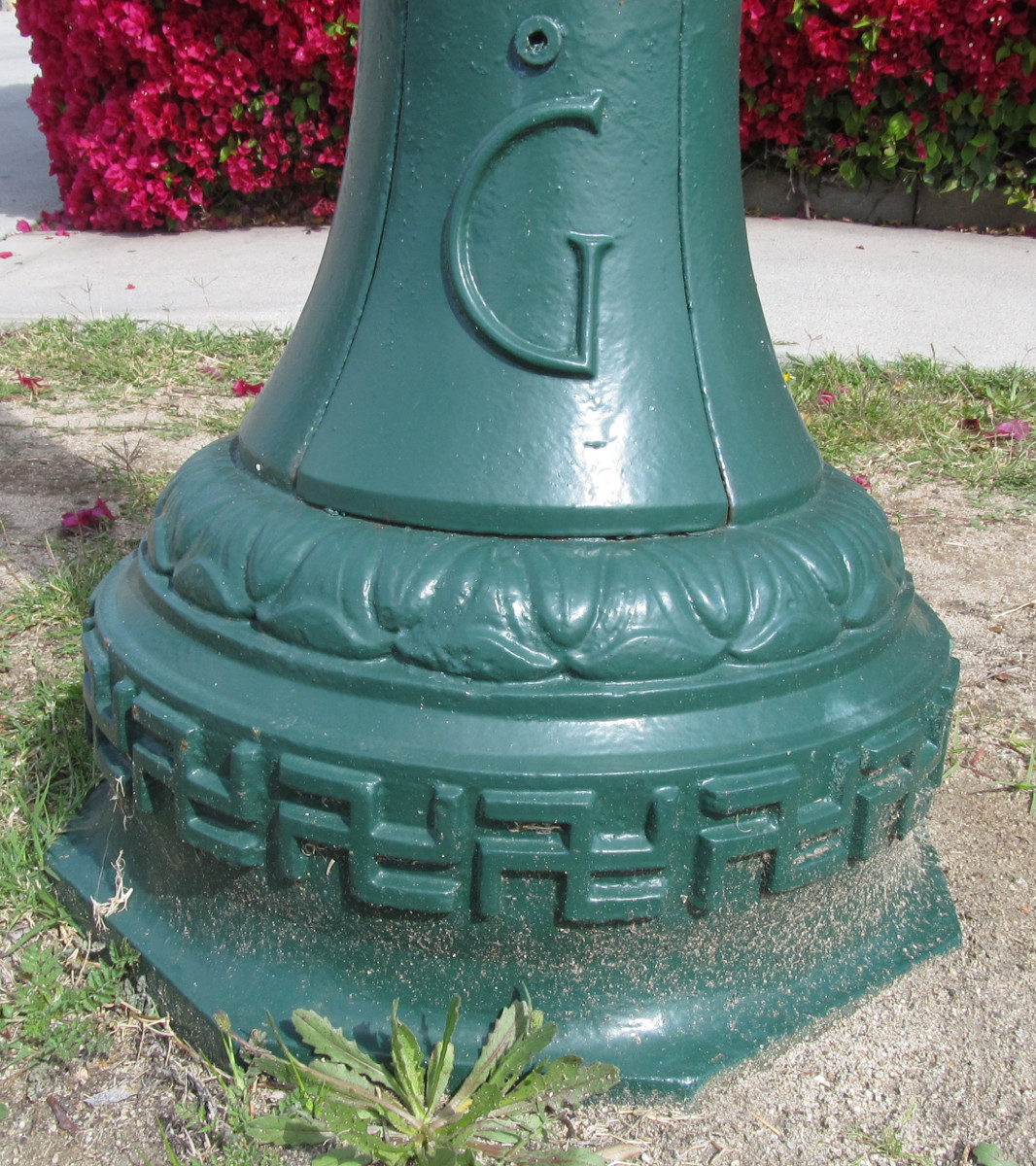
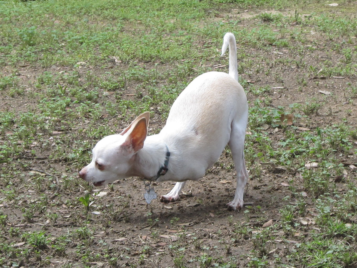
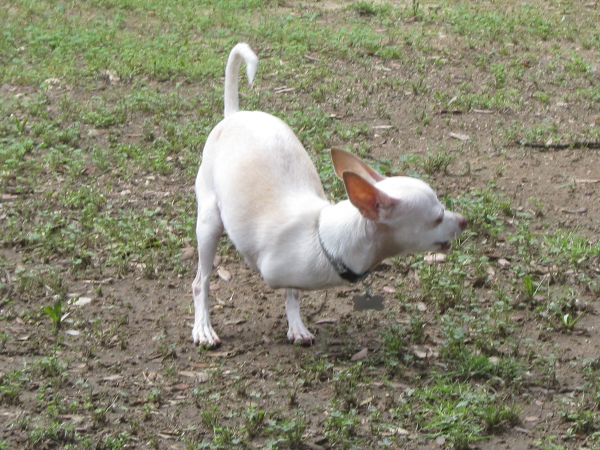
To get home, we rode back across Glendale and up and over Chevy Chase and Linda Vista back into Pasadena. In the middle of Glendale, I noticed a street with some 1920s-vintage antique street lights. It was pretty obvious that they dated to before the ’30s, since the bases of the poles were decorated with a band of swastikas. So they clearly had to date from a time before the swastika was co-opted into a symbol of evil. The final bit of weirdness we saw was when we got back to Pasadena. There was a house on Orange Grove that had two little chihuahuas in the yard. The odd bit was they both had no front legs. But this didn’t slow them down much. They were both hopping around the yard like little kangaroos, guarding their yard just like dogs do. That was a very strange sight. But even though it was a bit weird, it was a pleasant ride.
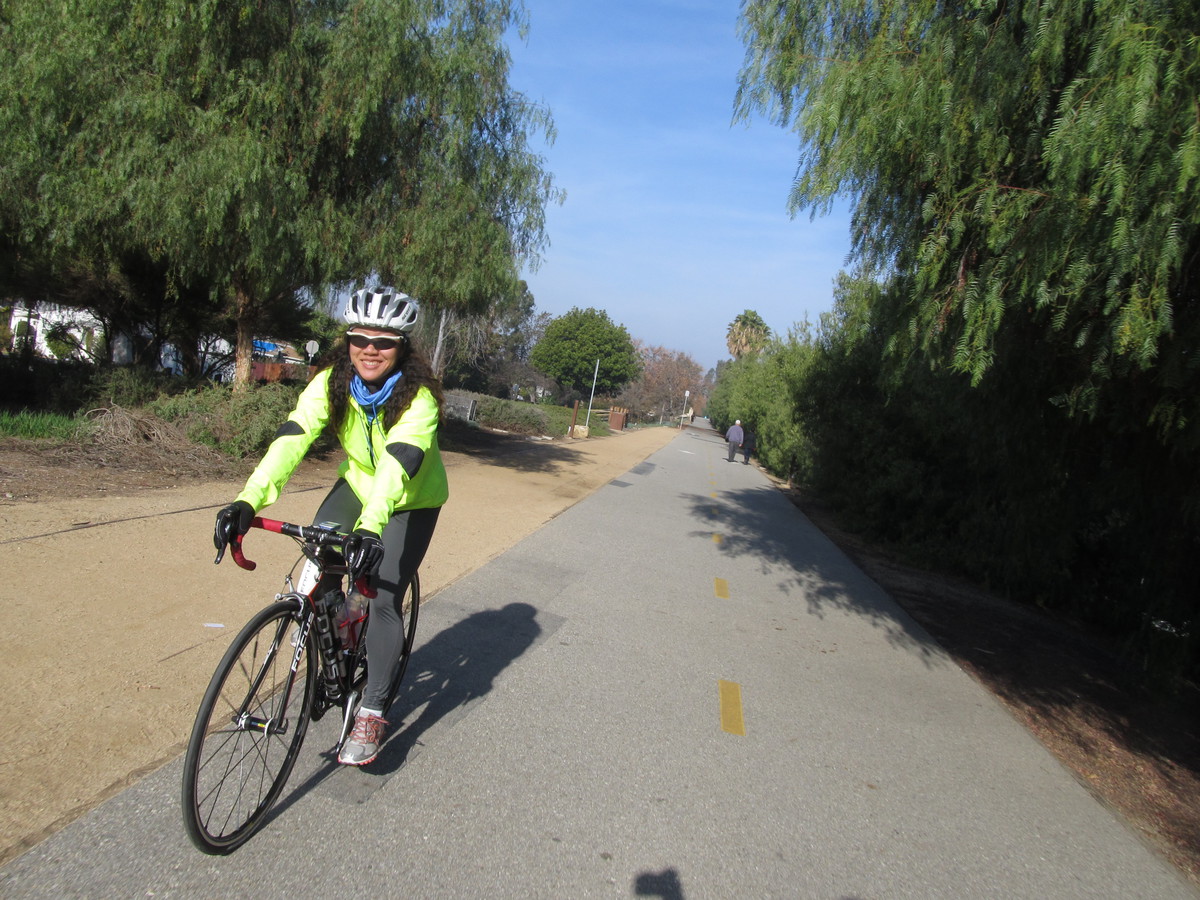
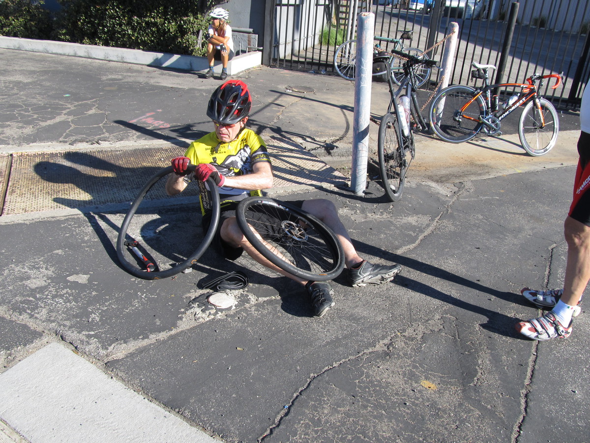
43 miles.