Somewhere over the rainbow…
 |
 |
 |
 |
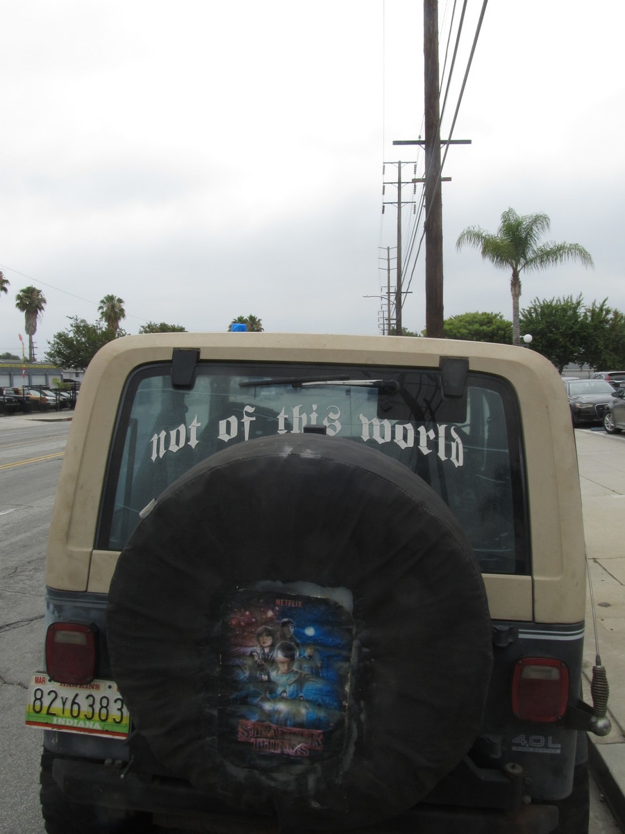
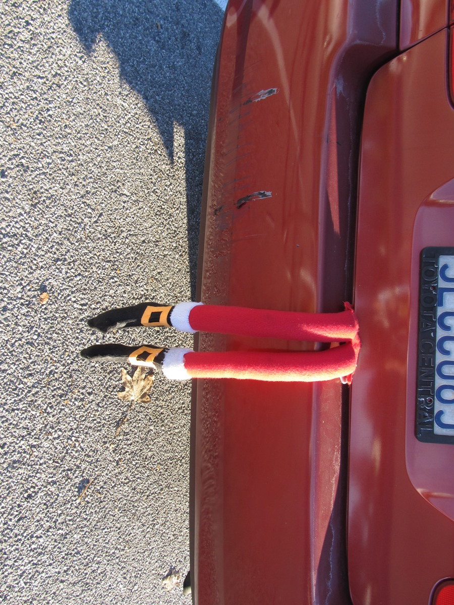
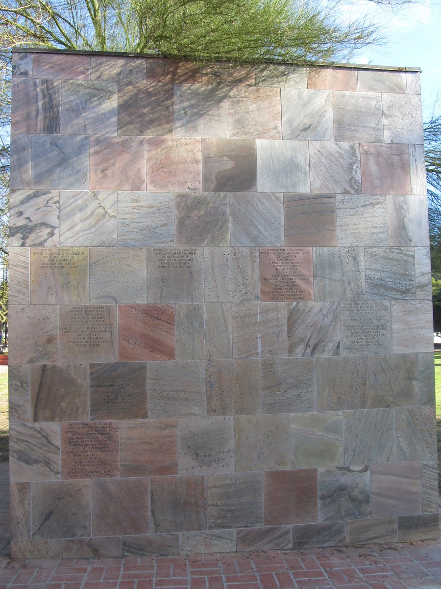
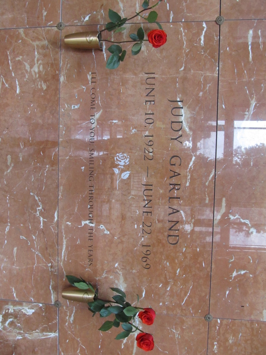
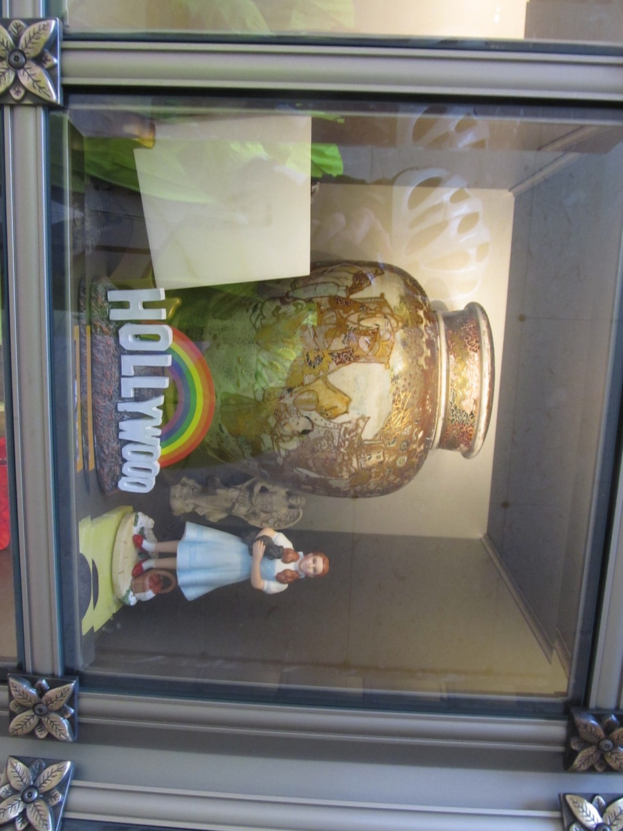
I recently read that Judy Garland is now buried in Hollywood Forever. For a long time, she was at a cemetery in Westchester County, New York. But apparently, a few years ago her family decided that it would be more appropriate for her to be interred in Hollywood. Since celebrity graves are a good ride theme, Hollywood Forever was the destination for today.
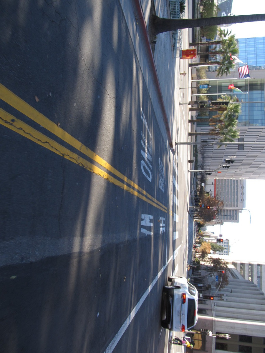
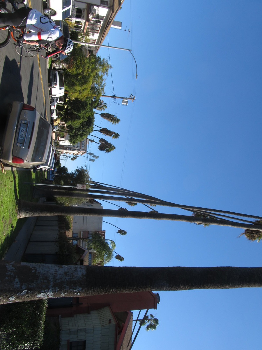
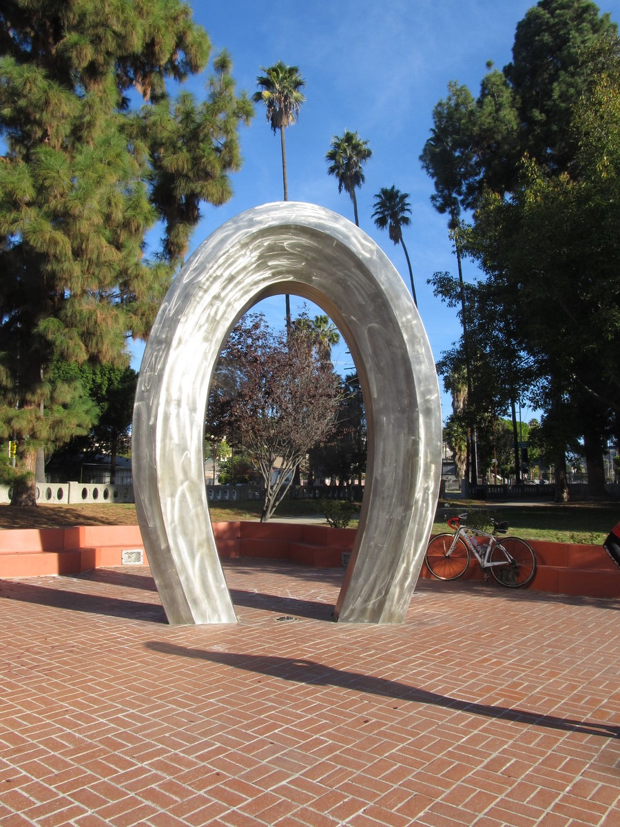
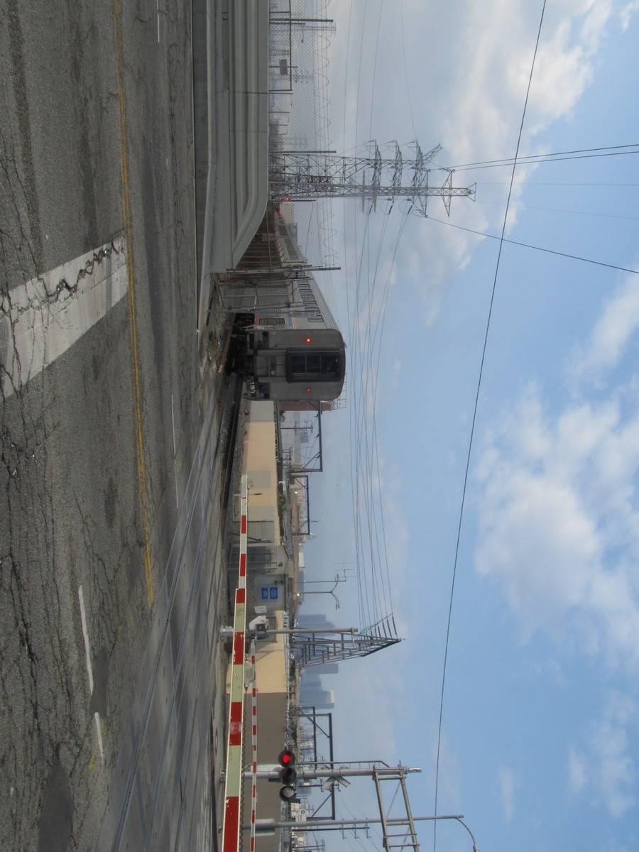
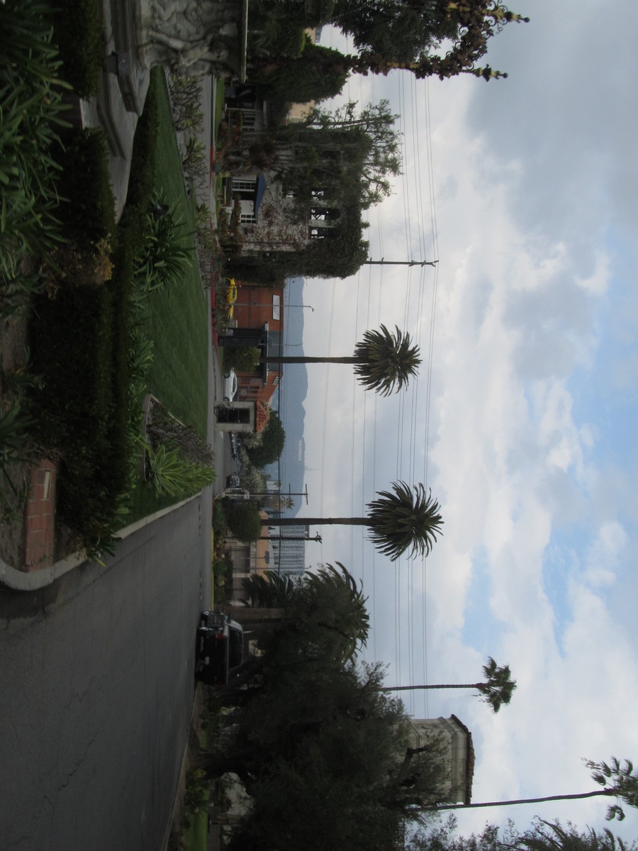
The day started off with a slight threat of rain, but this route tracks close to several Metro Rail lines, so we have bailout options. Still, there were only two of us today. We rode through downtown L.A. and then out to Larchmont Village and then to Hollywood Forever, which is located right next to Paramount Studios. When we got there, we ended up having to ask the guy at the information booth where Judy is located. But once we found her, it was pretty obvious.
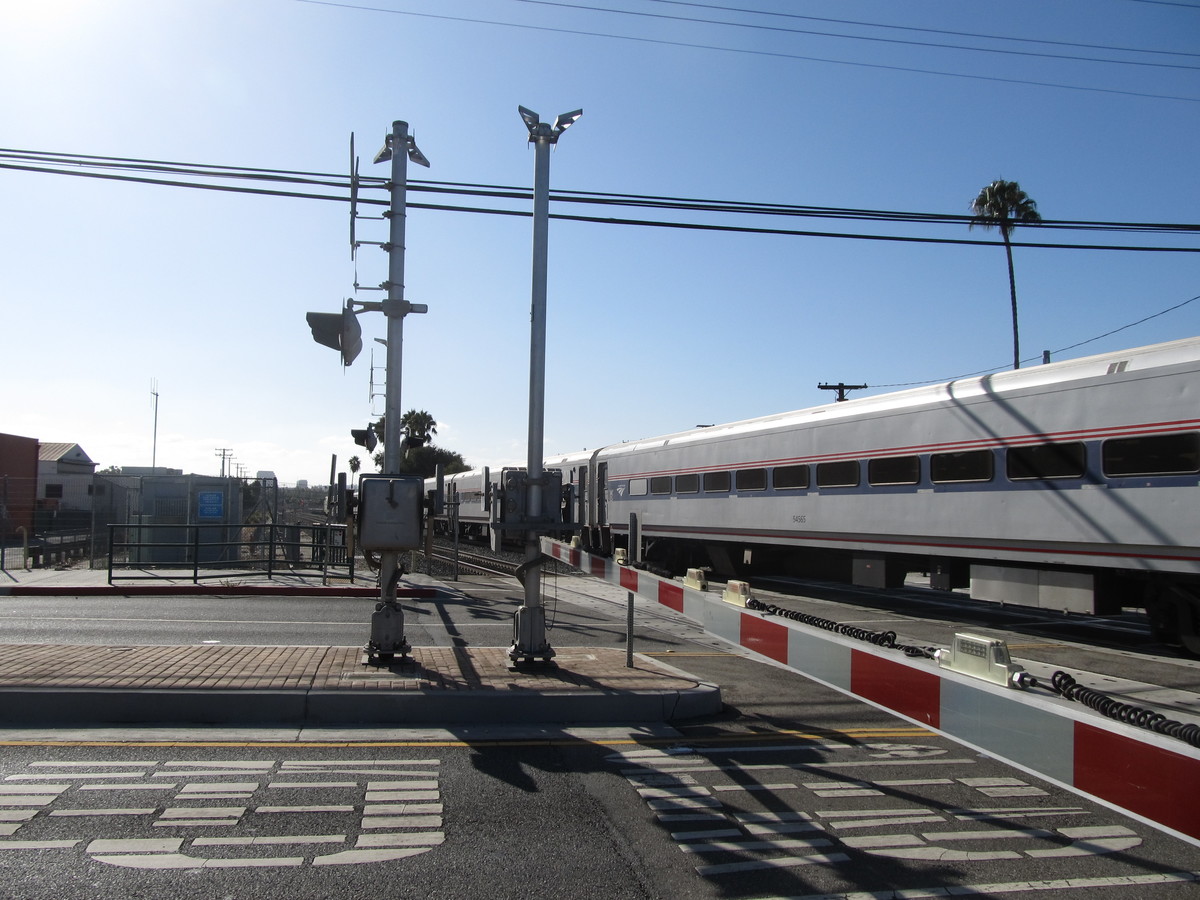
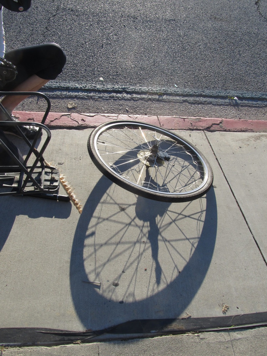
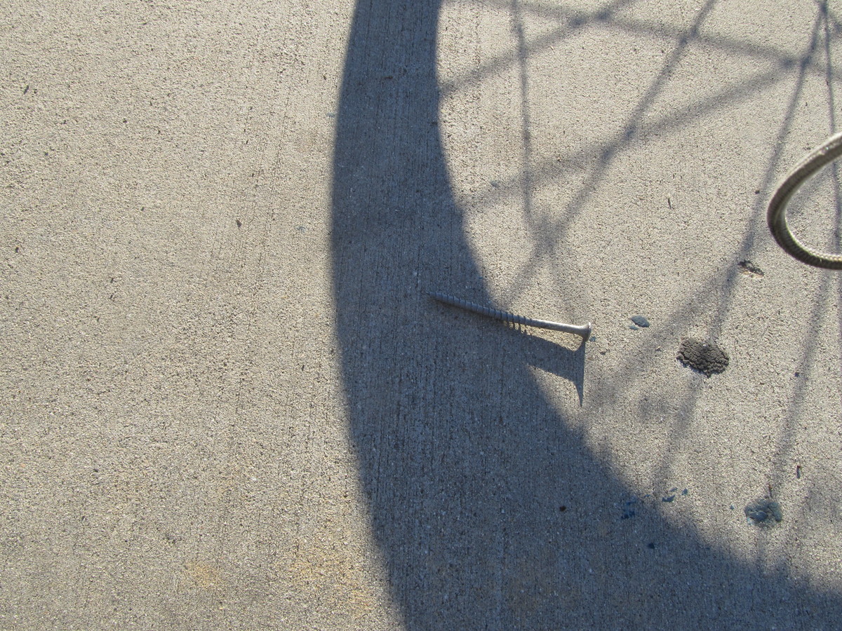
Continuing on, we headed for home by way of Frogtown. We got as far as crossing the L.A. River and starting up Figueroa St when it started raining. So we turned off on Ave 26 and got on the train at the Lincoln/Cypress Metro station. When we got back to Pasadena, it was raining lightly, but it was all right to ride the two miles home from the station. Then, about five minutes after I got home, the sky opened up, and we had pouring rain. So that was lucky good timing.
32 miles, counting the two miles home from the Allen Metro station.