This is why we can’t have nice things…
 |
 |
 |
 |
 |
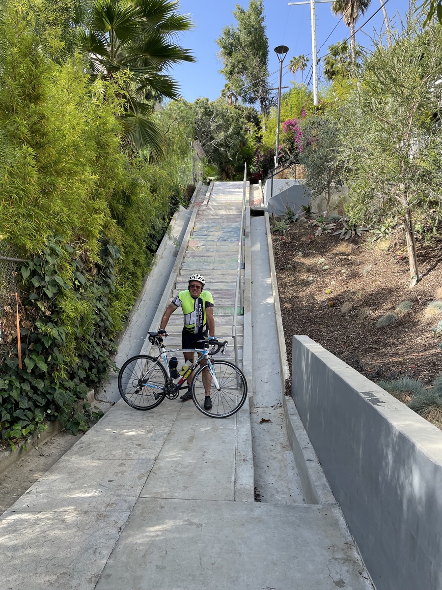
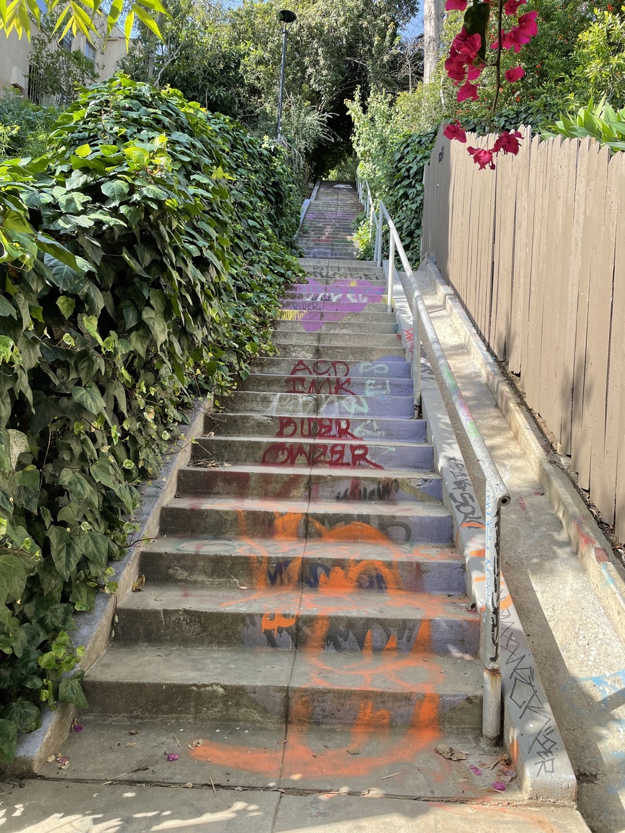
This week, I saw a news item about the Micheltorena Stairs in Silver Lake. This staircase had been painted with hearts and rainbows, and it’s on the list of ‘the most Instagrammed places in Los Angeles.’ We’ve been to see them before. But this week, the news was that the stairs had been painted-over.
This is why we can’t have nice things.
So I figured it was time for us to go visit again.
We used the mostly the same route as last time, just without the extra bit to West Hollywood to see the Pink Wall. When we got there, we could see that the designs painted on the stairs had been painted over. I walked up to the second set of stairs to see if they had been painted over, but apparently they had not. The article I read said that the city is talking to the artist who painted the stairs originally, and she may come back to re-do them. If so, we’ll have to come see them again.
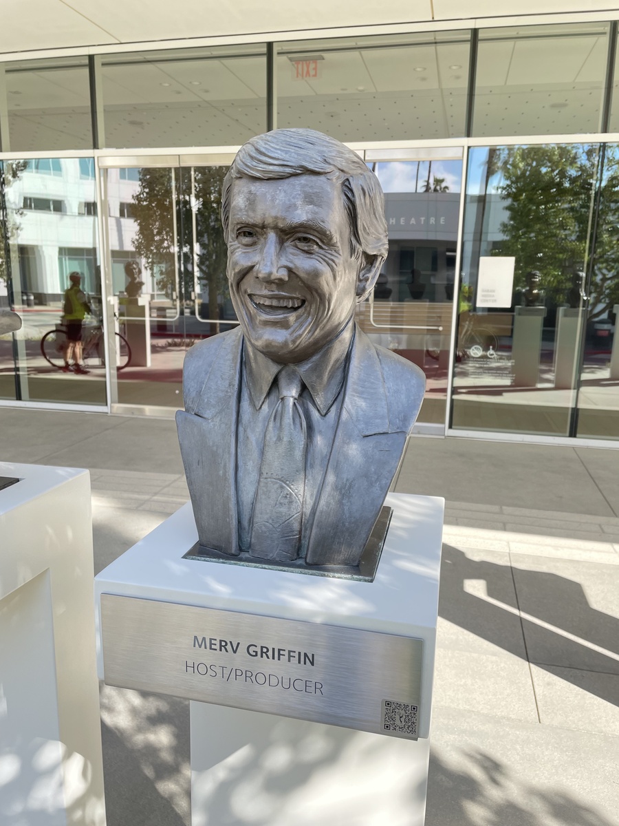
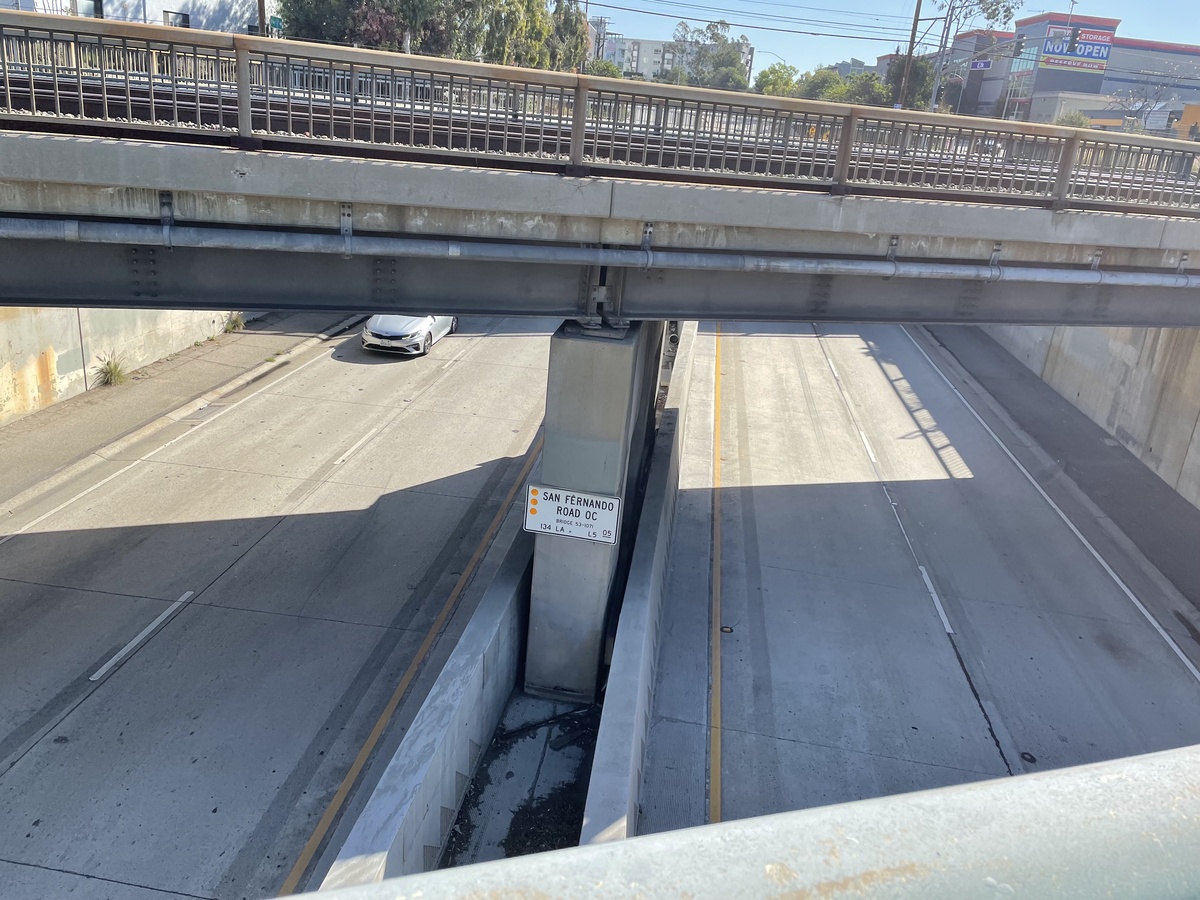
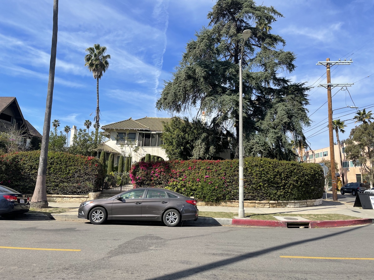
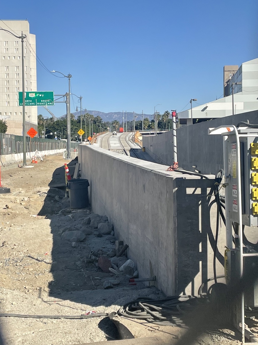
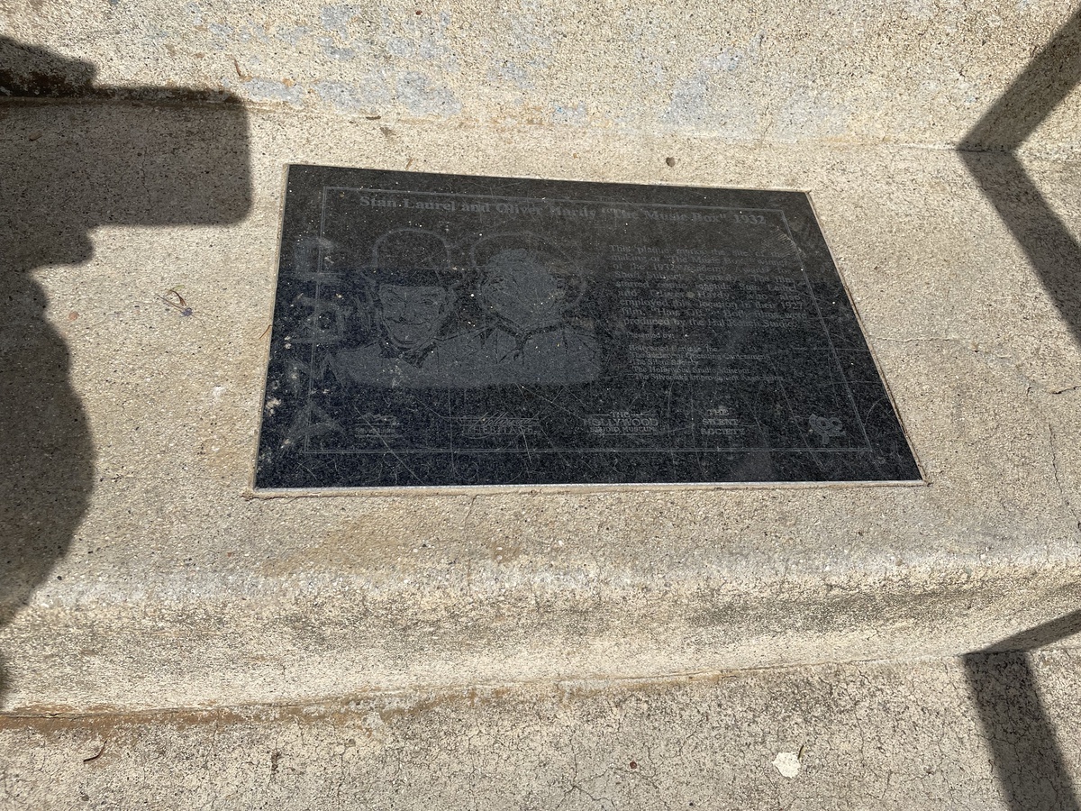
After seeing the stairs, we made a quick stop to see the “Music Box” stairs, since they’re just a couple blocks away. Then we went to Noah’s Bagels in Larchmont for drinks and snacks. And then we headed home by way of downtown L.A.
42 miles.