Big Tujunga Canyon
 |
 |
 |
 |
 |
 |
 |
 |
 |
 |
Today’s club ride was up Big Tujunga Canyon in the Angeles National Forest. Most people don’t realize just how close Los Angeles is to actual wilderness, and it’s a nice place to ride.
The ride started from Descanso Gardens in La Cañada, but I started out meeting Gene, Philippe and Rick at Victory Park. We headed west and up the hill to get to the ride start.
When we got there, we got our route slips and and we all headed out up Foothill Blvd through La Crescenta. I tried to take another picture of the “Poo Ping” restaurant sign, but the sun was at the wrong angle, so it didn’t come out.
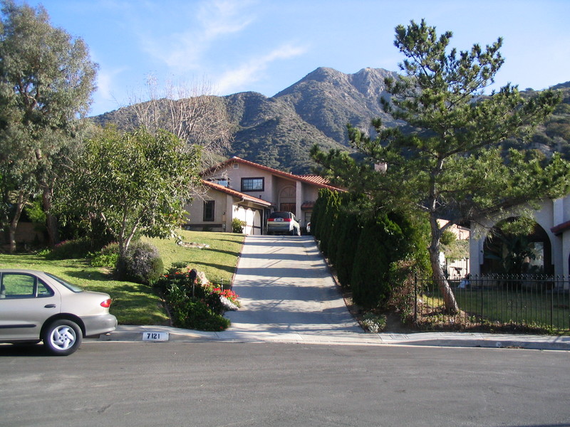
We took a right on Tujunga Canyon Blvd and headed up the hill. At Hillrose, Gene and I took a little side trip up a steep hill to see Elliott’s house from “E.T.”. The view from up there was pretty spectacular.
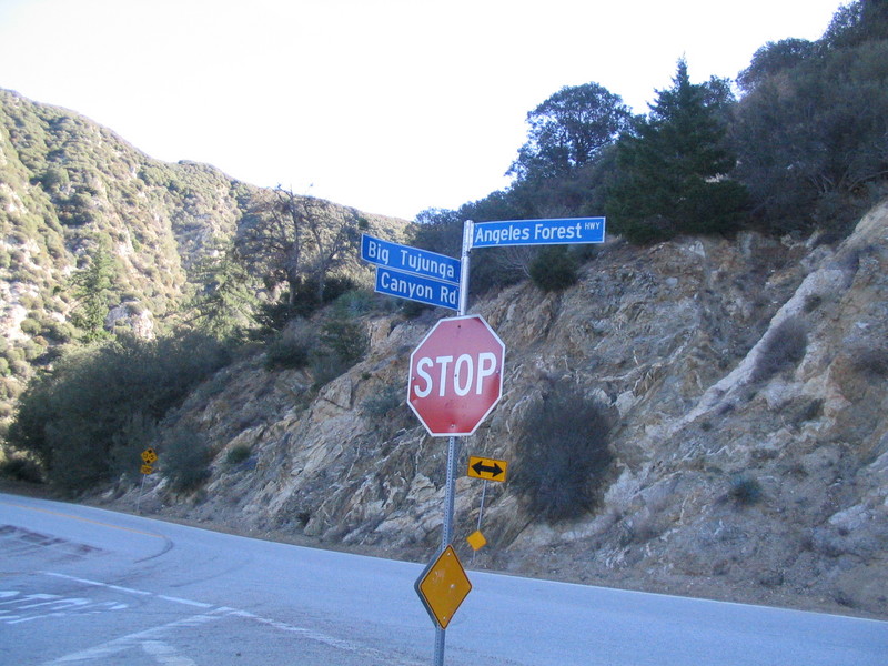
Coming back down, we got back on the route and took Mt. Gleason Road north a bit and then got onto Big Tujunga Canyon Road. This was where we left the Los Angeles city limits and headed up into the mountains.
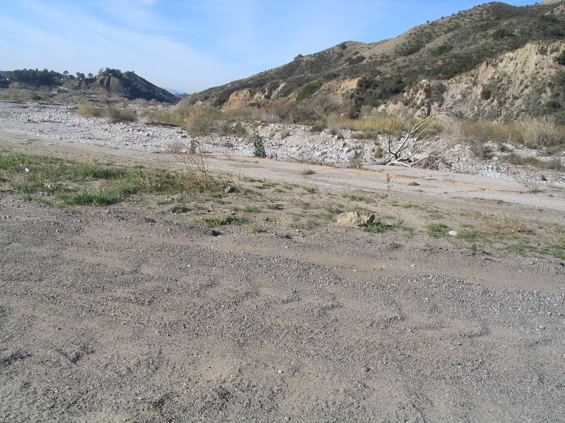
We couldn’t do this ride last year because a section of the road had washed out during the winter rains. So today we got to see the washed-out road and the little temporary detour they’d built around it.
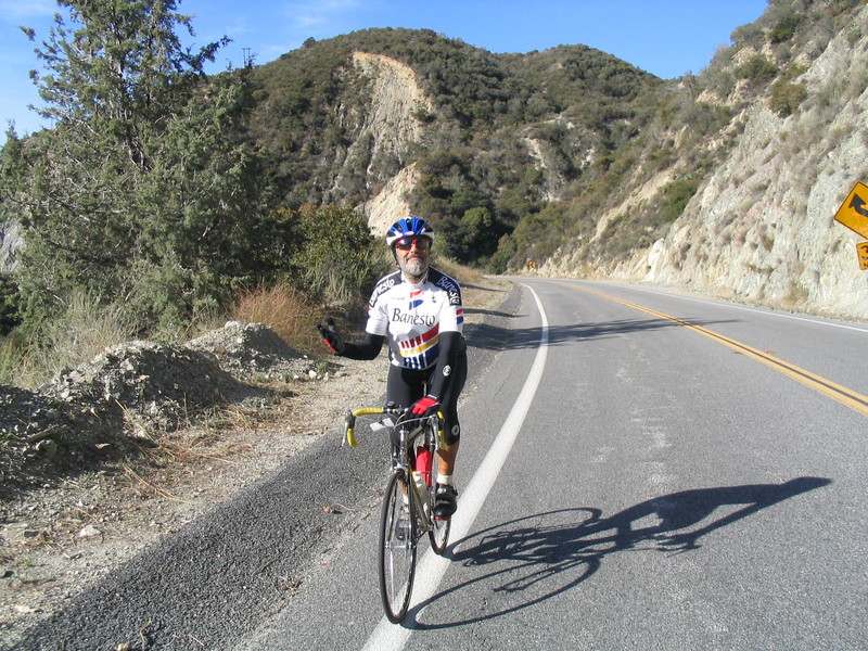
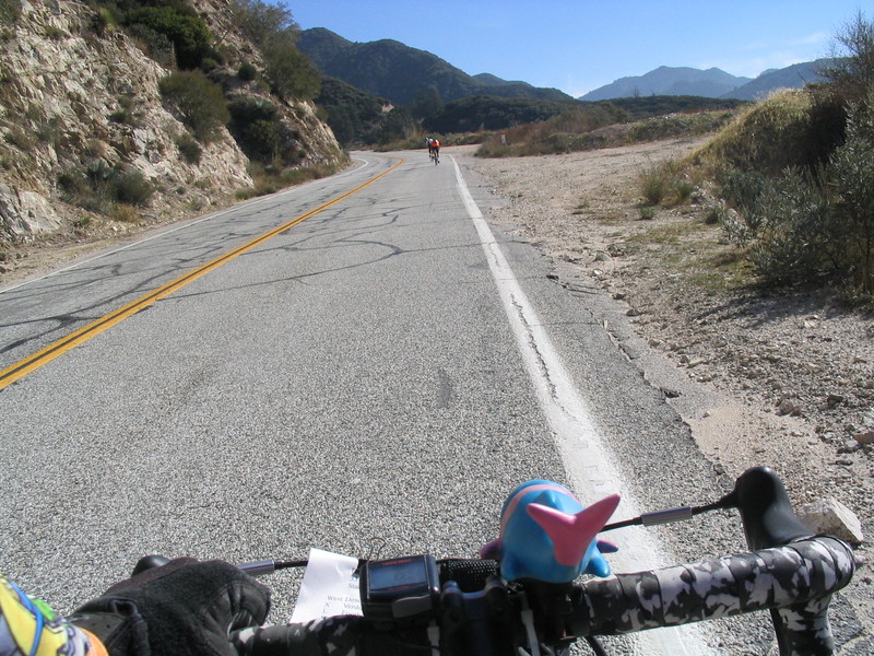
Because of our little side trip, the rest of the group was now ahead of us. The group was pretty strung-out from riding up an 11-mile hill, and we caught up to several of them on the way up.
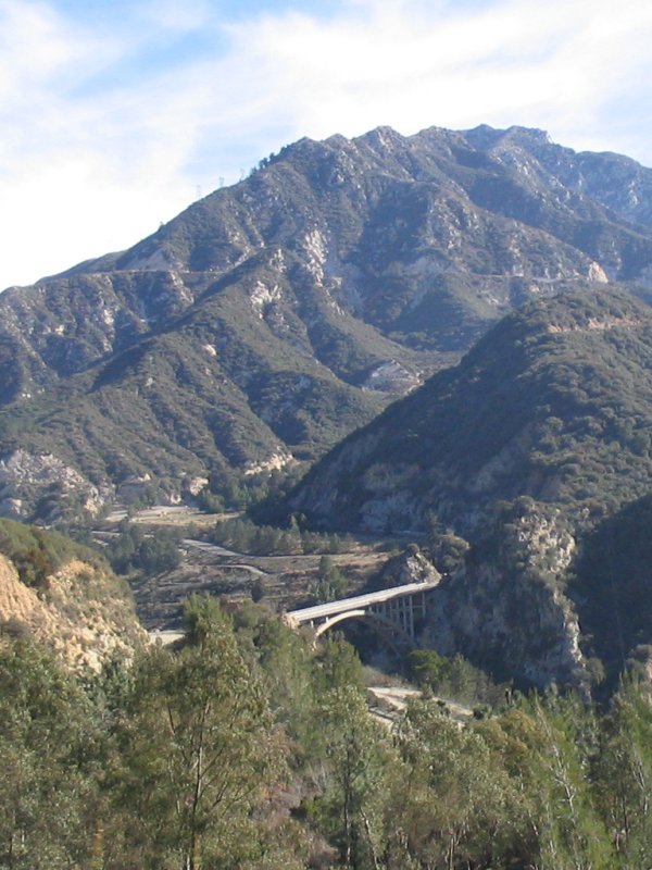
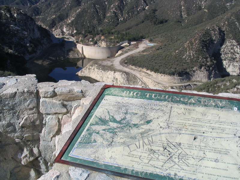
At one point, the road went across the canyon on a high bridge, which was quite spectacular. A bit above that, I stopped at an overlook to see the dam that was built in 1931 for flood control.
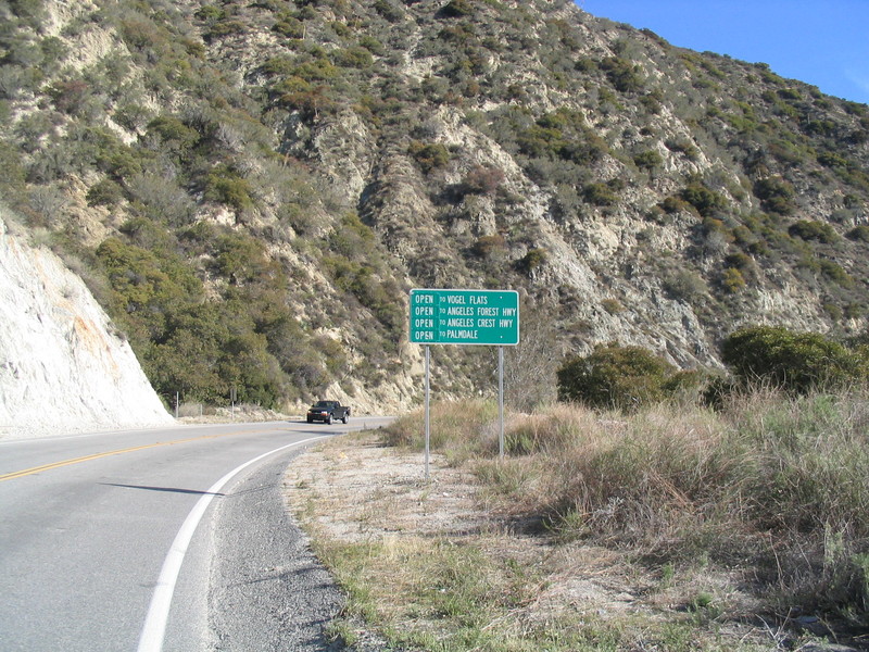
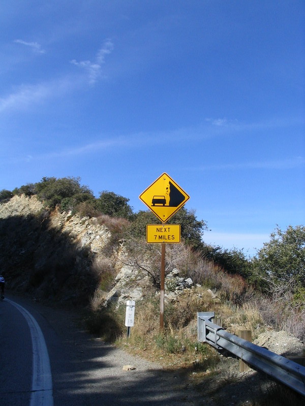
Continuing on up the canyon, we finally came out on the Angeles Forest Highway, where we turned right. The route slip said that this was ‘the top’, but it sure felt like we were still going uphill for the next four miles to the Angeles Crest Highway and Clear Creek Ranger Station.
When we got to the Ranger Station, we stopped for water. Then we headed down the Crest Highway, back to civilization. The road down was 10 miles, all downhill. Ordinarily, this would be cause for great rejoicing, but it was cold. So it was not an unalloyed pleasure.
At the bottom of the hill, Gene and I took a left on Foothill and headed back to Pasadena. We passed JPL and then took Woodbury east and then some small streets back to the park.
It was a fun ride. And when I got home, I realized that I had done the whole thing without shifting even once. It was 39×17 the whole way.
52 miles.

