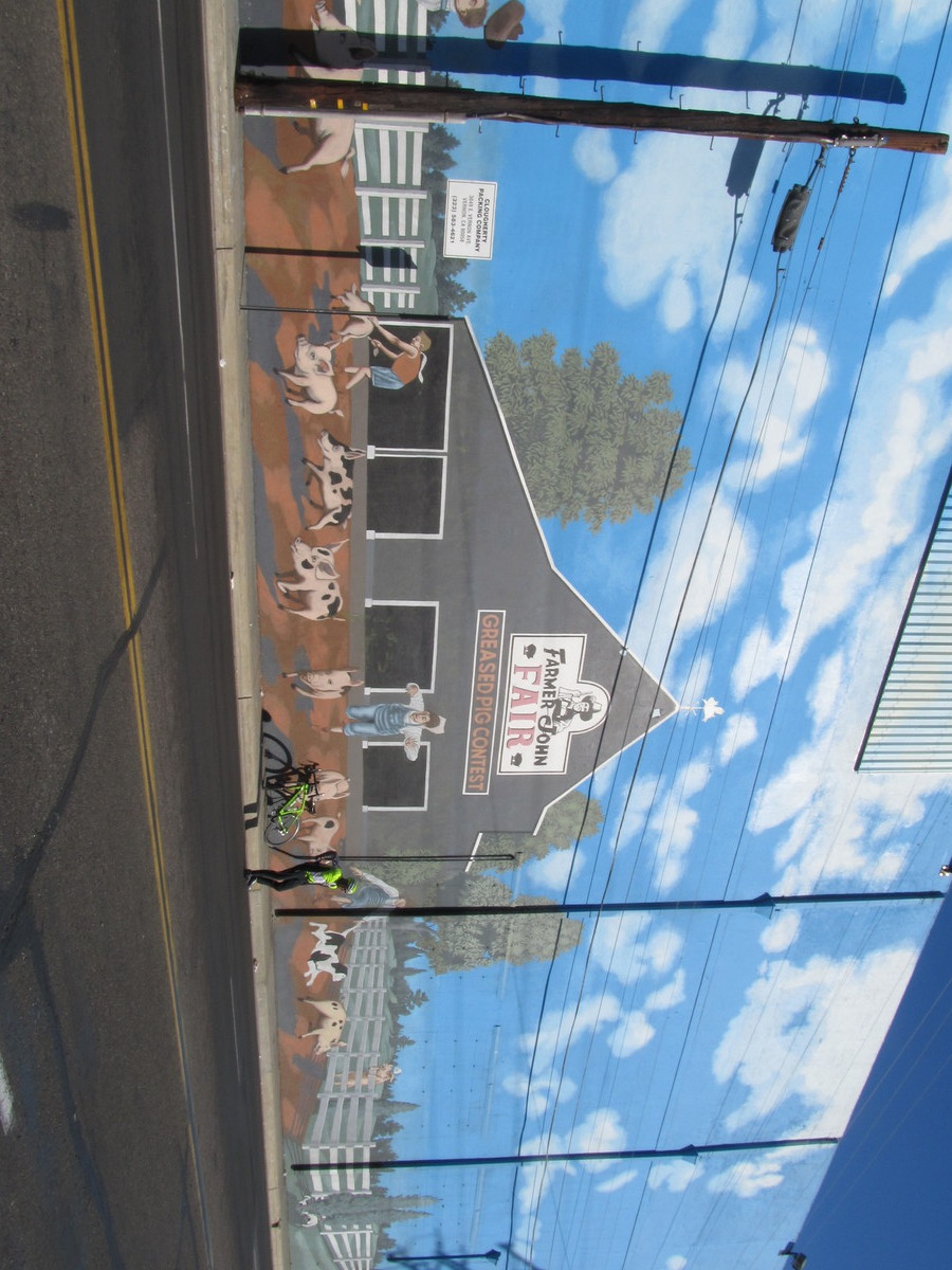
This past week, I saw an item in the L.A. Times about another cannabis store opening up, making it the third one in Los Angeles County. I looked it up, and it turned out to be in Maywood, which is just the other side of Vernon, and about two miles south of the Farmer John hog mural. So that was our destination for today.
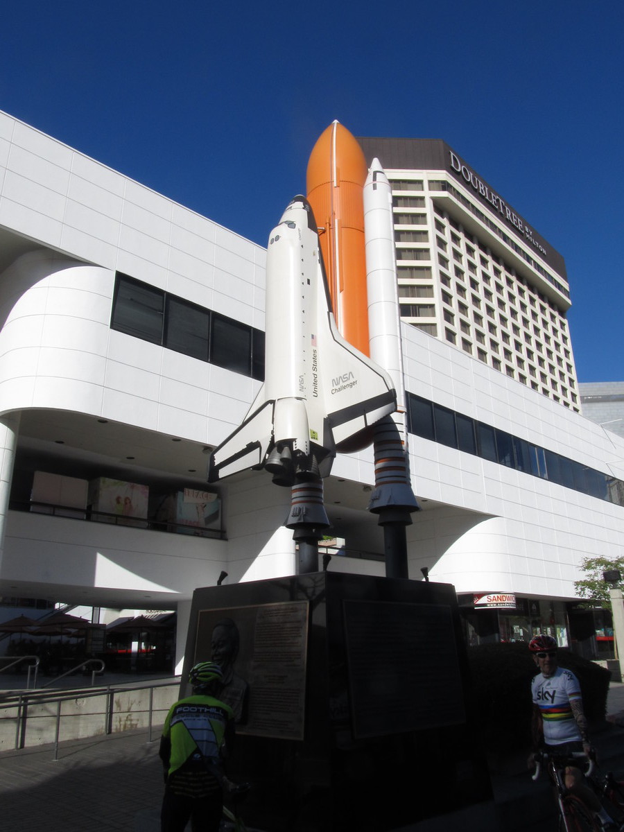
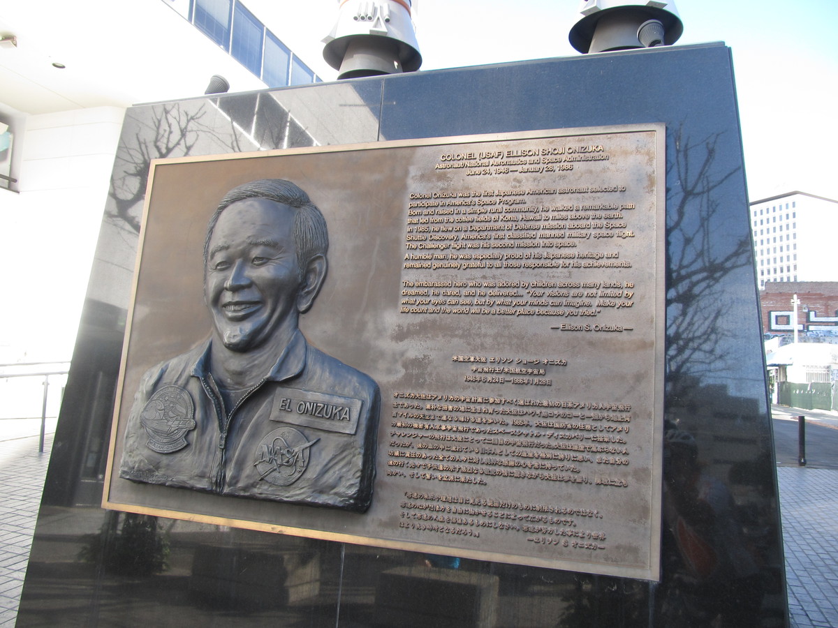
We got a late start today. John had just put new tires on his bike, and they were very hard to put on. So he had two pinch flats. I ended up putting two new tubes in the tires, and then we were able to get going. We took our regular route to downtown L.A., down Huntington Drive. Along the way, I realized that it was the 28th, making today the 32nd anniversary of the Space Shuttle Challenger disaster. So we made a short detour to go through Little Tokyo to see the monument to Ellison Onizuka there.
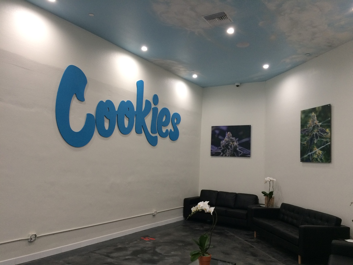
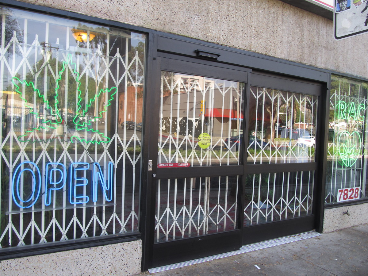
Leaving Little Tokyo, we took Santa Fe Ave south to get to Vernon. We turned off to pass by the Farmer John plant, and then continued on to get to Maywood. When we got to Cookies L.A., we were surprised at how big it was. The one we went to see in West Hollywood a few weeks ago was just a little storefront. But this one was a big industrial building. We didn’t think it would be open yet, but there were a couple of security guards by the door. It turned out that John’s flat tires had slowed us down just enough that the store had just opened. So we had to take a look inside.
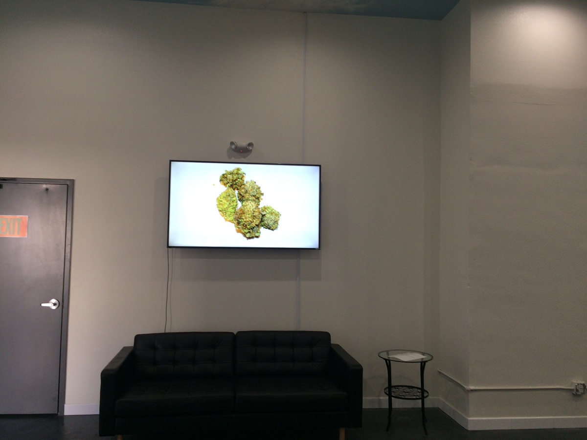
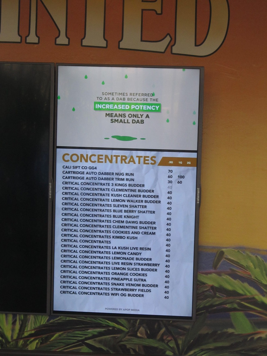
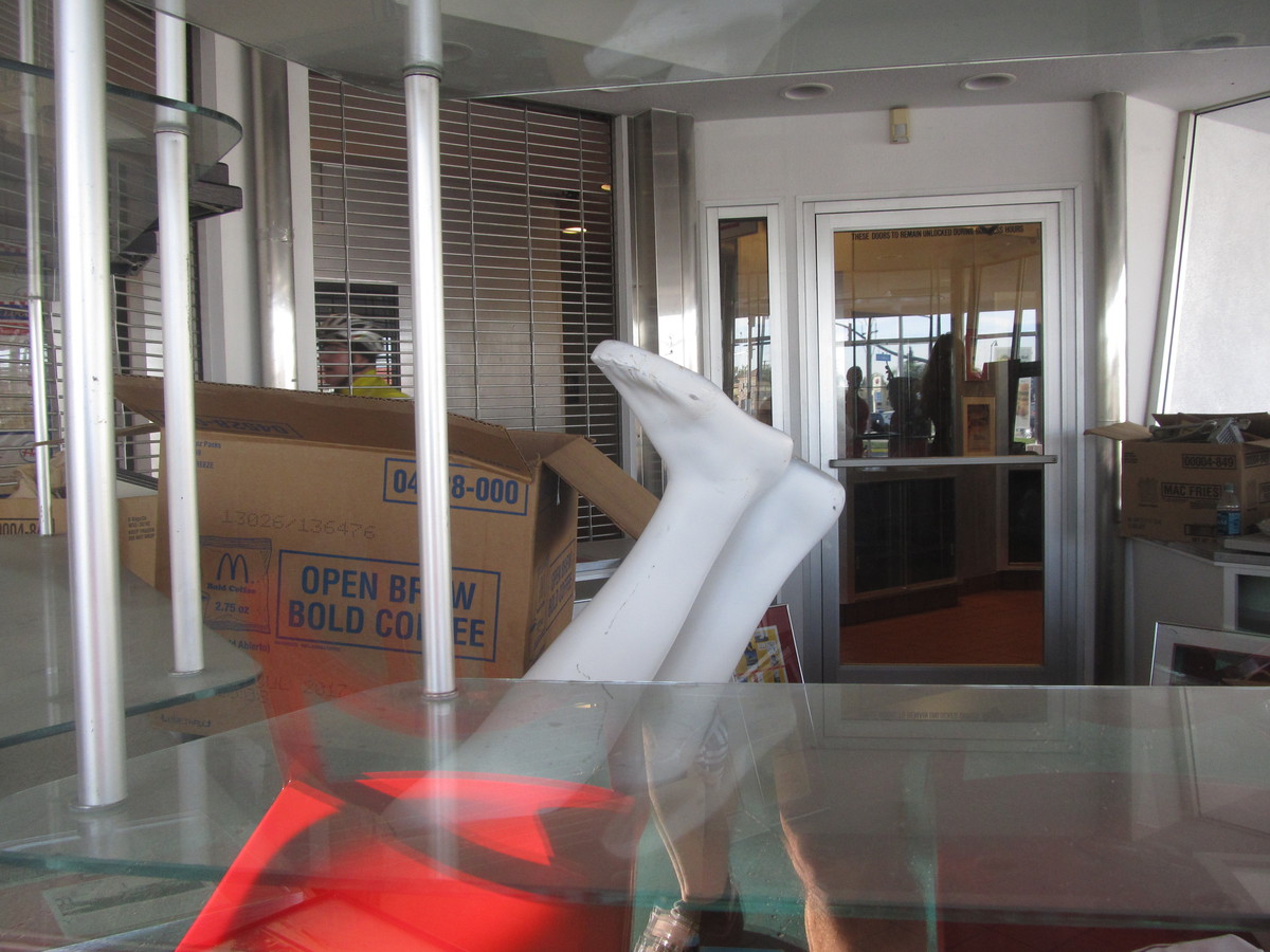
The lobby area looks like a fancy doctor’s office waiting area. Apparently, since cannabis is still illegal on the Federal level, the shop has to be a cash-only business, so there was a little ATM in the waiting area. And that was also why there were three guards outside. They had a little booth with a guy who checked our IDs. Then he opened the door so we could go into the actual store. There were a pair of doors, almost like an airlock to get inside. The actual store area looked like a big, fancy department store cosmetics counter. There were probably seven or eight people working there. I talked to one, and she showed me around the counter, explaining what different things they had available. It seemed like a very well-run operation. The guards outside told us that they had only opened last Tuesday, and that they had had lines out the door since then. We managed to not wait in line just because we happened along just when they first opened.
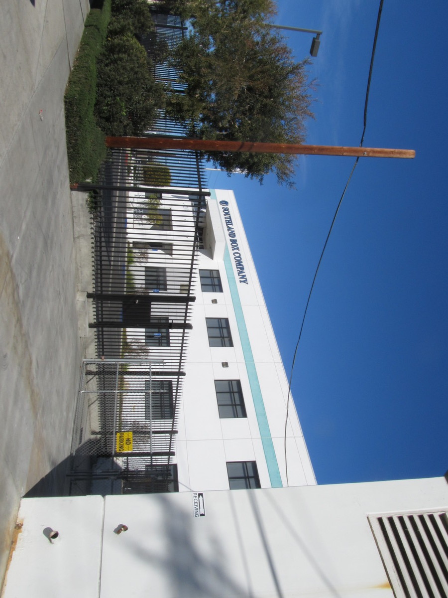
Leaving the pot shop, we headed back across Vernon. We saw the Southland Box Company. I thought there ought to be a whole herd of cats hanging around outside there. We also passed by the six or so houses there. Vernon is famous for being an industrial city with a ridiculously small population of only 113 people.
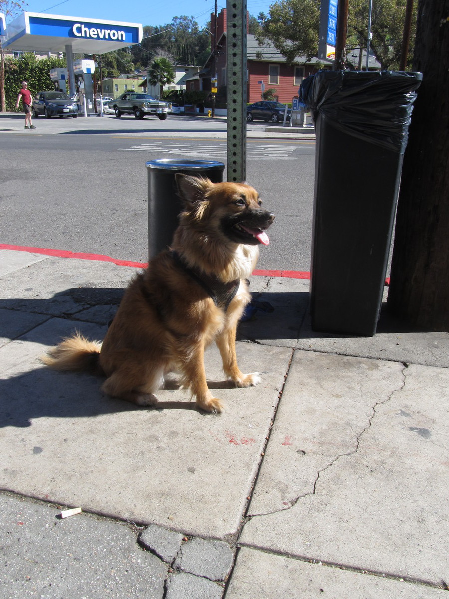
We rode back into downtown Los Angeles, and then out on 7th St to Bonnie Brae St, which brought us up to Echo Park. Out snack stop was at Chango Coffee there. I got a little artisanal breakfast sandwich there. And of course, there were several absurdly well-behaved dogs there.
At this point, my GPS hiccuped, and for some reason, it took no data on the trip from the coffee shop to Riverside Dr. Then it started up again, and recorded the rest of the ride. The route home took us through Highland Park, and then South Pasadena. It had turned into a very nice day, and it was a nice ride.
46 miles. Would have been maybe one mile more if the GPS hadn’t gone south.
Route map and elevation profile