Agents of S.H.I.E.L.D.
 |
 |
 |
 |
 |
 |
 |
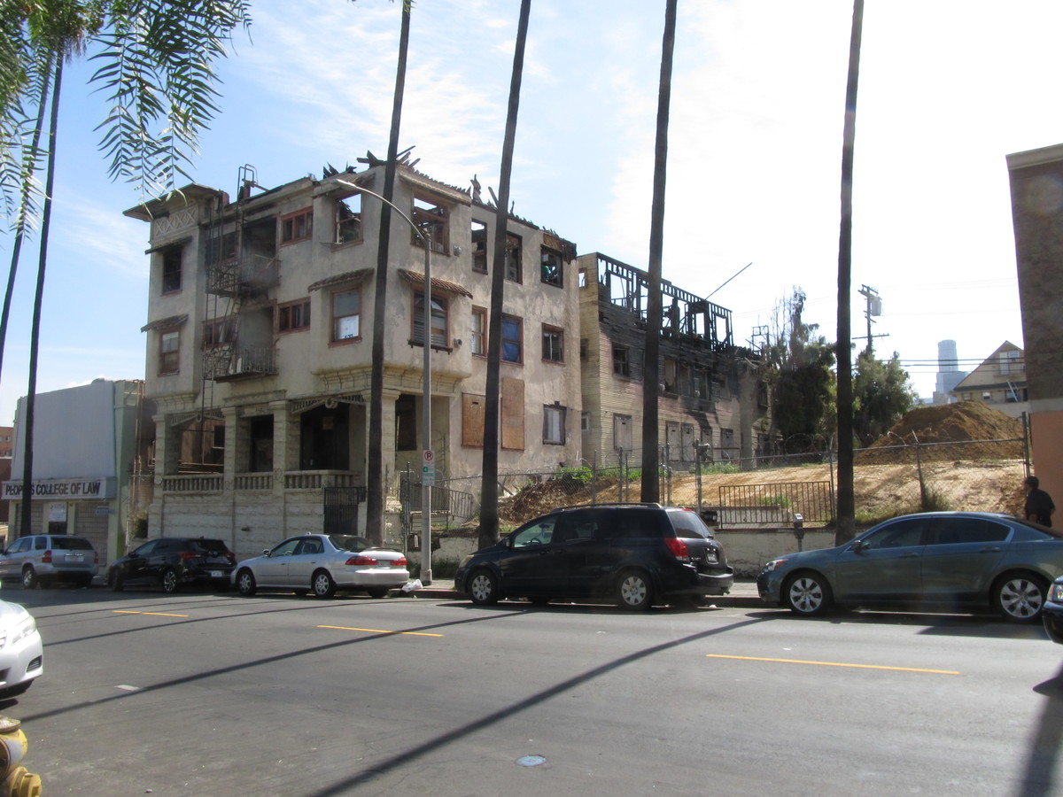
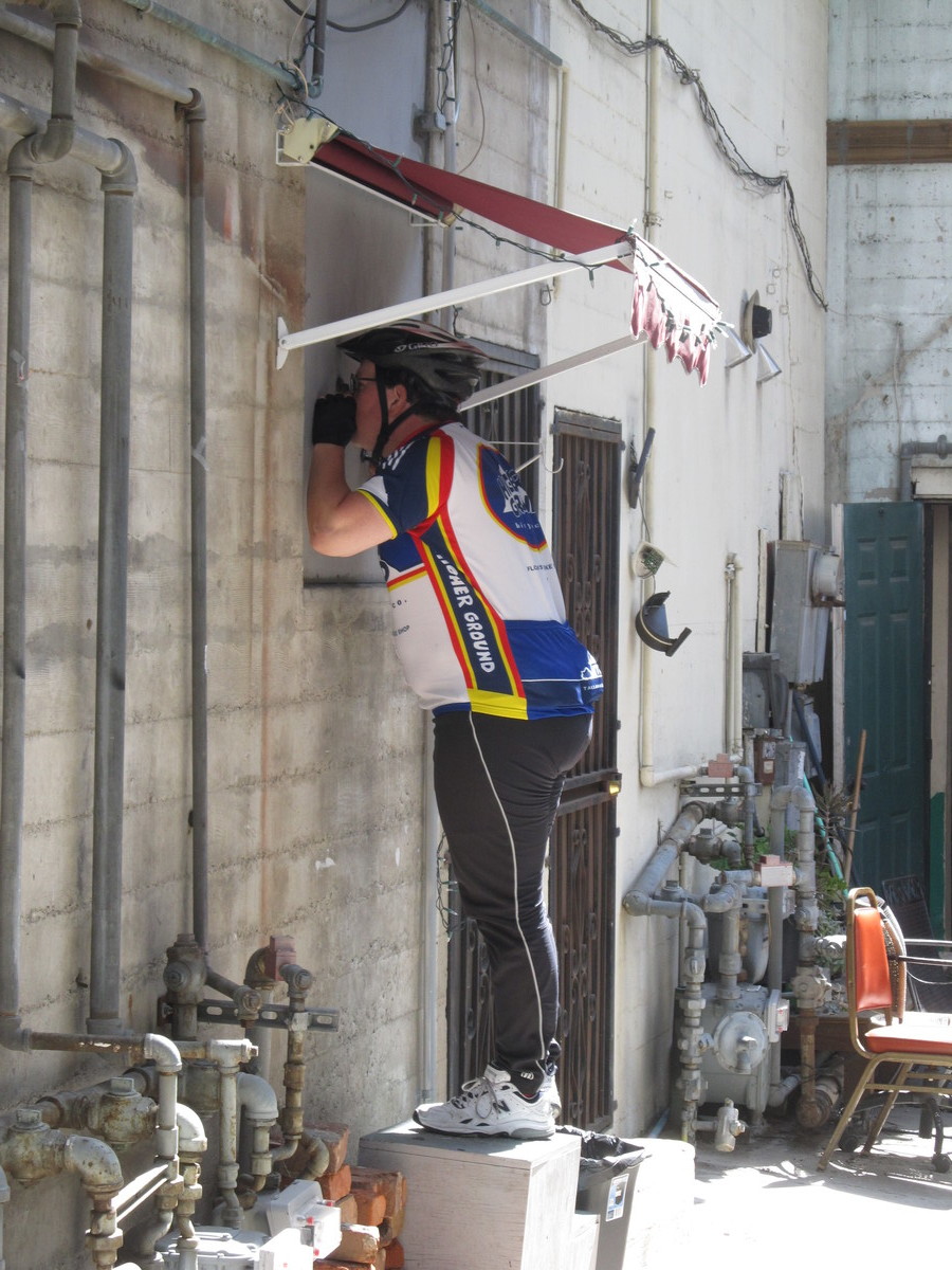
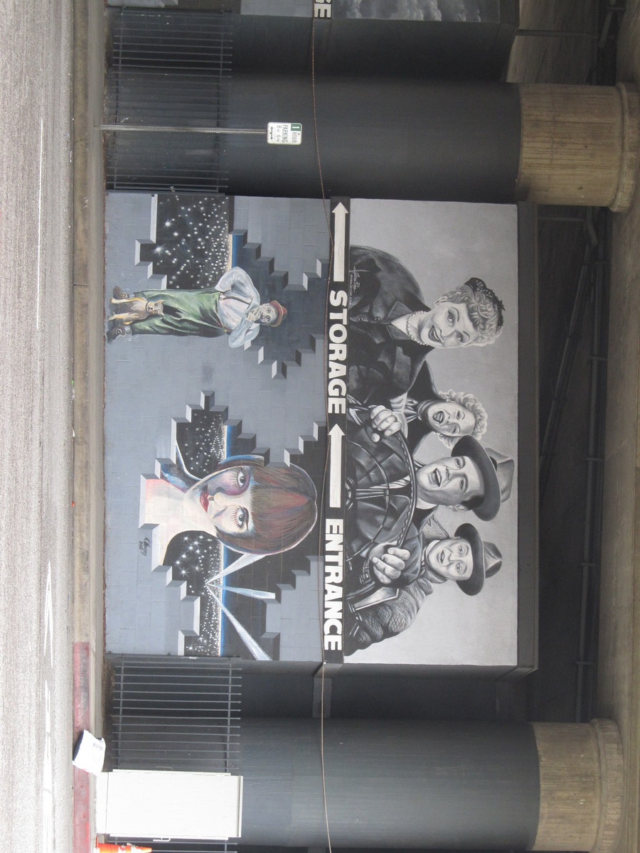
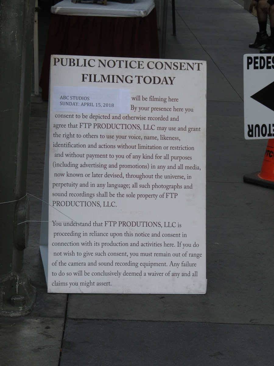
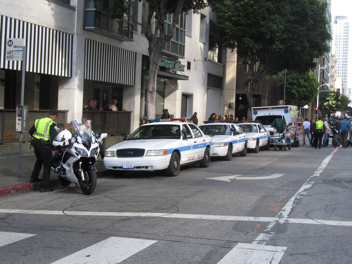
Yesterday, I was at the Aon building stair climb. While we were there, there was a crew setting up for shooting a scene for Marvel’s “Agents of S.H.I.E.L.D.” on Wilshire Blvd. They had lots of fake rocks and fake broken chunks of pavement, as well as a couple of fire cars, like the ones we saw in Griffith Park once that turned out to be for an episode of “Grey’s Anatomy”. The setup crew said they were going to be working all day to set the scene, and the actual filming would be done of Sunday morning, so that was our sightseeing destination for today.
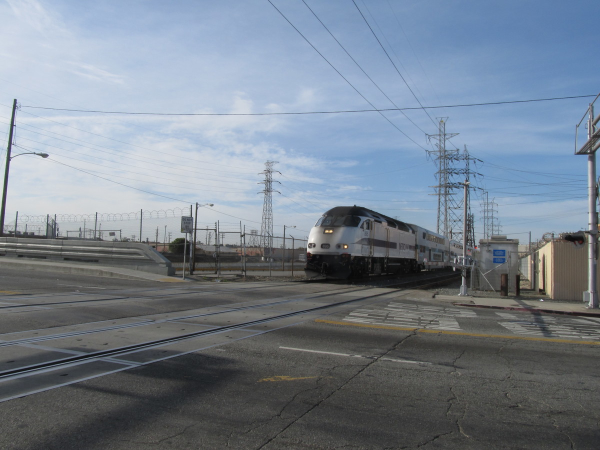
We got an early start today, so we made it downtown in time to see the 8:46 Metrolink train to Lancaster go by. If we see that train, that means we made good time getting downtown.
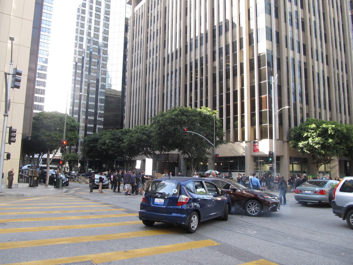
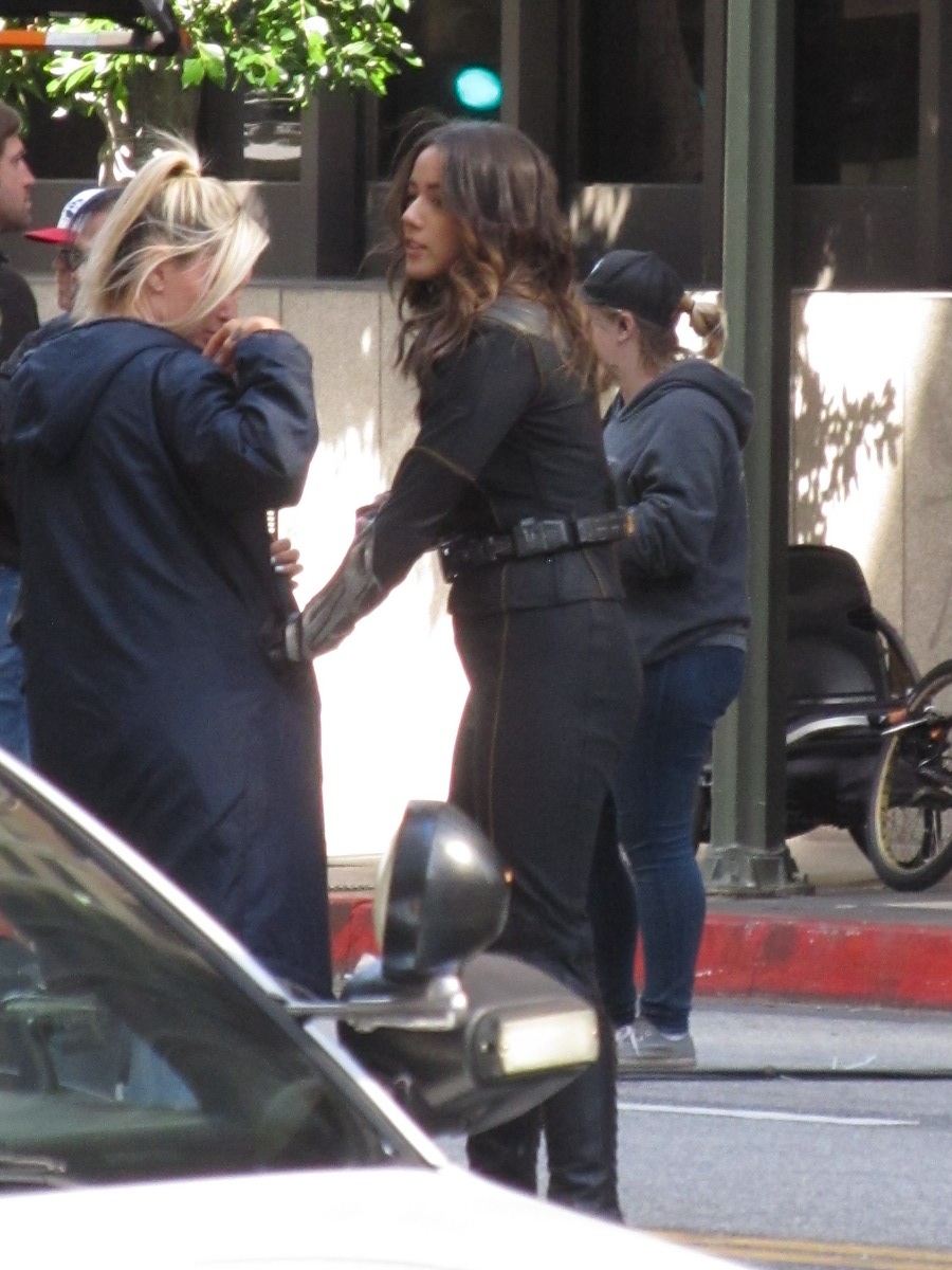
When we got down to Wilshire, it was pretty obvious that this shoot was a Big Deal. There were a lot more prop cars, and hordes of extras in business suits with dirt smeared on their faces milling about. We even saw Chloe Bennet as Daisy Johnson there. Apparently, her super power is the ability to create earthquakes, which Jen and I thought was pretty funny, since that meant her character had the power to make us have to go into work.
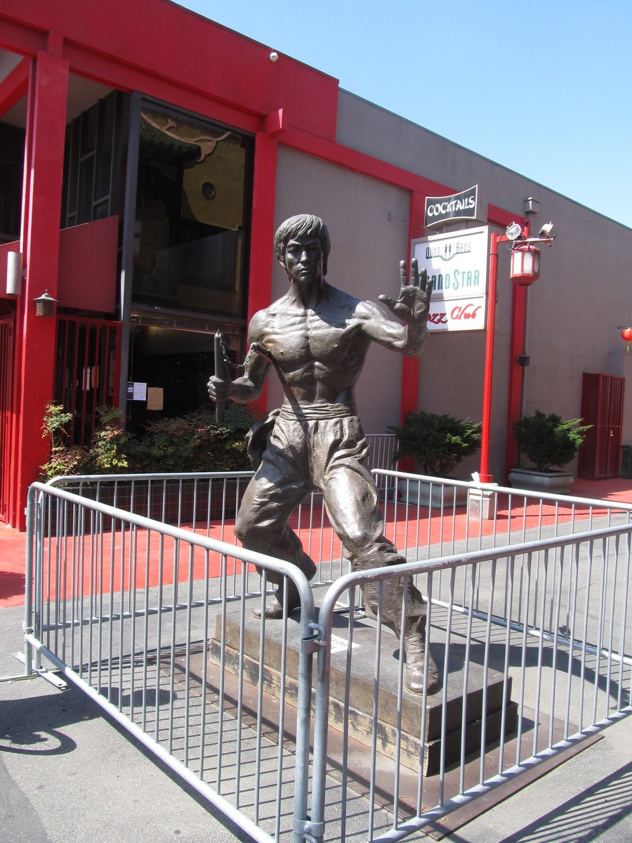
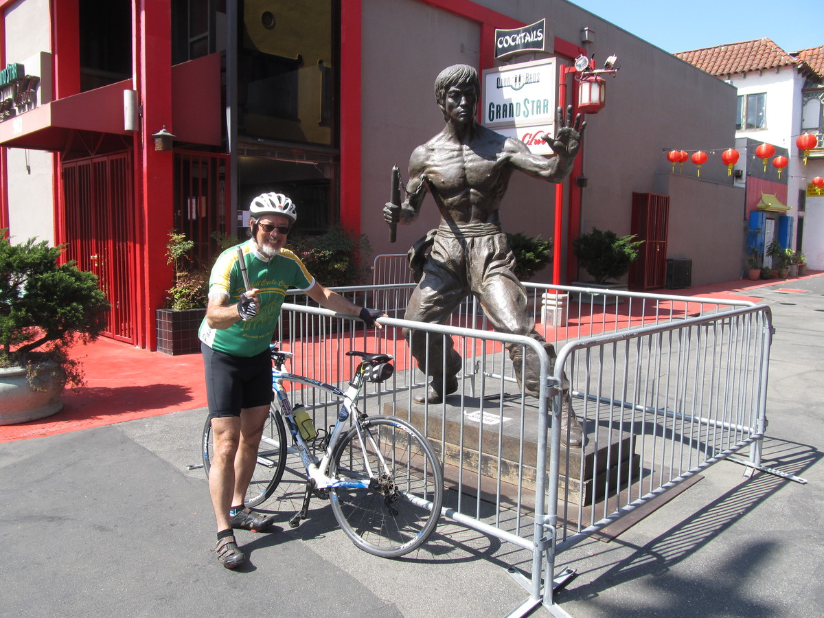
After gawking at the shoot for a few minutes, we continued on our way. We made a loop out and back through Hancock Park. Then up Benton Way through Silver Lake and then to the L.A. River bike path. We stopped for snacks at Spoke. Then we headed home by way of the Arroyo Seco bike path.
41 miles.