Glendora Mountain
 |
 |
 |
 |
 |
 |
 |
 |
 |
The weather forecast for Sunday looked grim by SoCal standards, so I went riding today. Vikki had organized a ride with some of her triathlon friends to go up Glendora Mountain Road. It was cool and overcast. The forecast was for rain, starting in the afternoon.
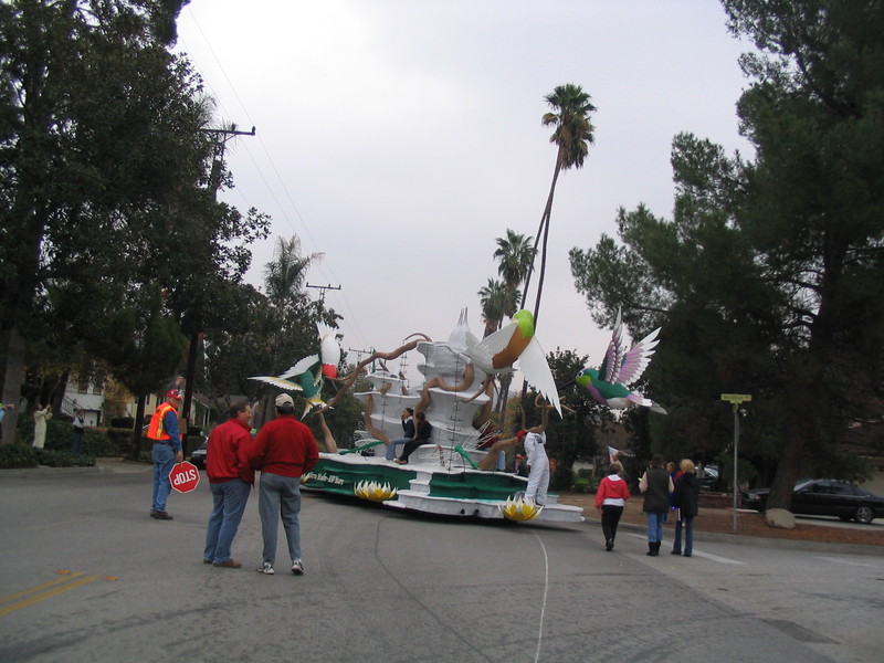
The ride started at Encanto Park in Duarte. I’m a firm believer in not driving my car to go to a bike ride, so I rode out there to meet them. Along the way, I saw the Sierra Madre Rose Parade float. They were moving it somewhere, so I passed it as it was driving slowly down Sierra Madre Blvd.
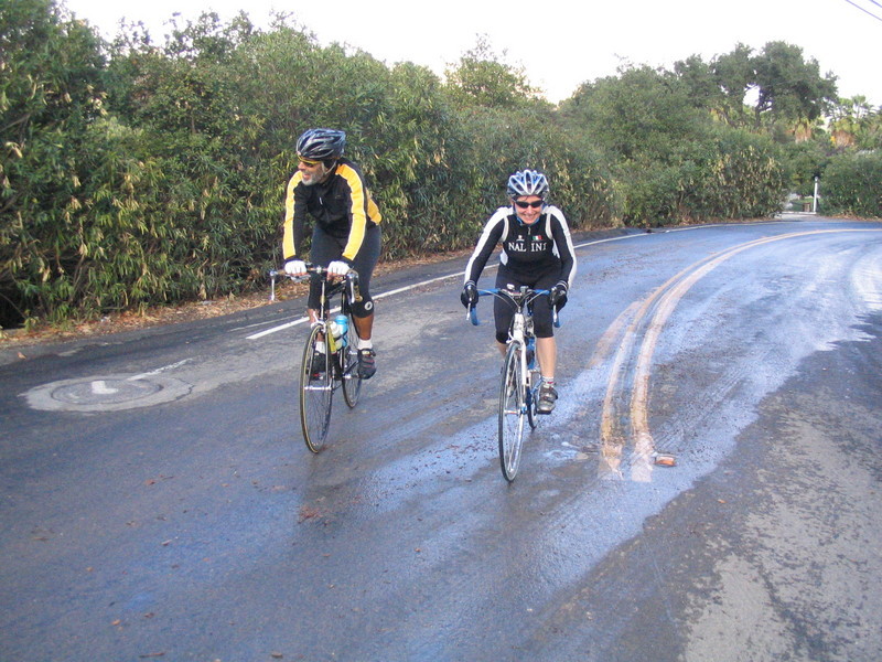
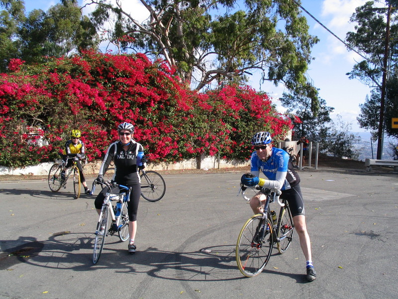
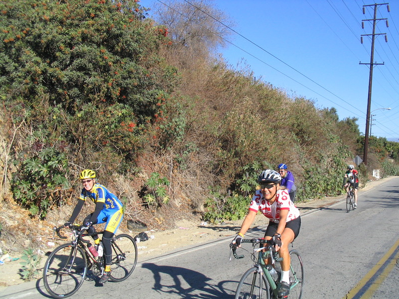
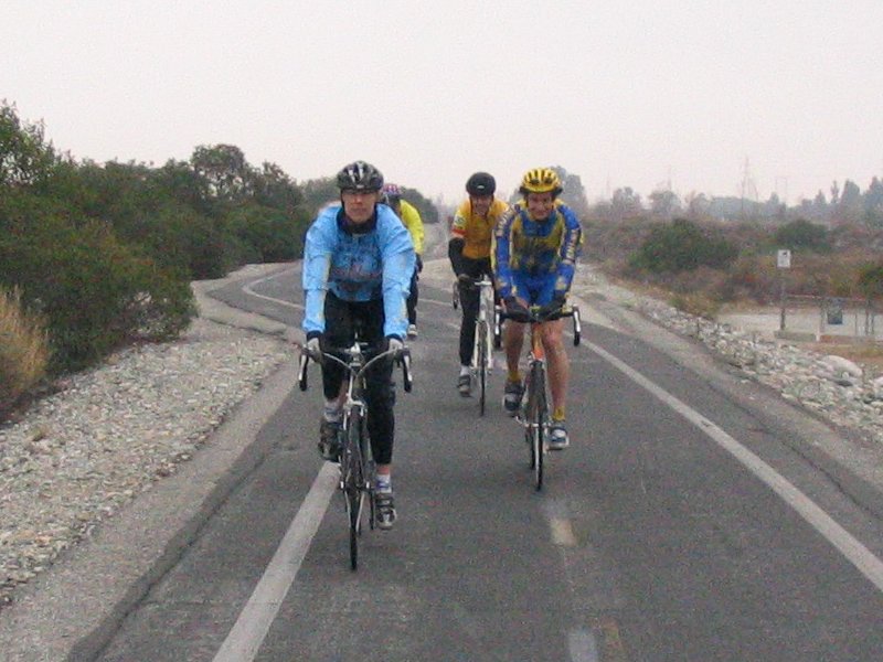
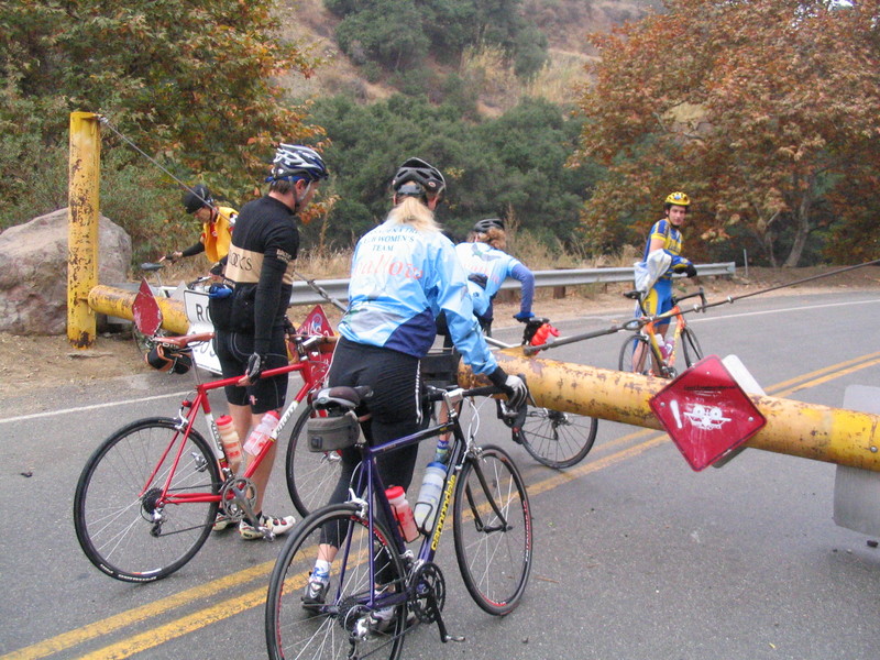
When I got to Encanto Park, everyone was there and almost ready to go. After some introductions and chat, we started out on the ride to Glendora. We had to take a detour around some construction on Sierra Madre Blvd, but soon we go to Glendora Mountain Road. The road is closed to cars, and we had to lift our bikes over the gate to get through. But then it was nice and quiet.
Once we hit the hill, the group broke up. A couple of faster guys went ahead, and I ended up riding with Christina. She told me about riding the leg of the Furnace Creek 508 that climbed Townes Pass into Death Valley. That made for a good story.
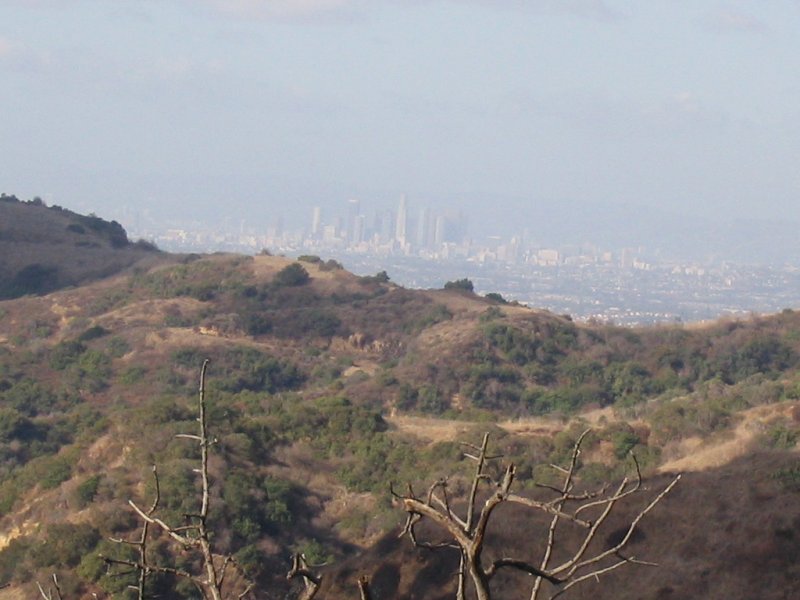
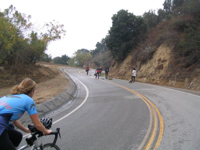
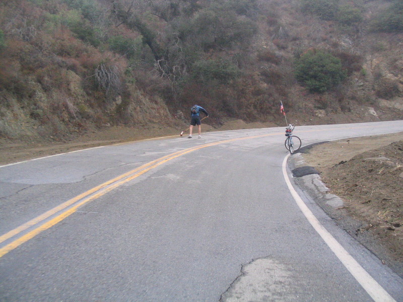
On the way up the hill, we passed a group of road-luge guys who were walking up the hill. Then a little later we saw a guy with a bike who was carrying a big broom and stopping to sweep sand and mud off the road. We were almost to the top of the hill when it began to rain in earnest. At that point I said ‘uncle’ and turned around. I passed the rest of the group who were still going up, and I rode back down into Glendora.
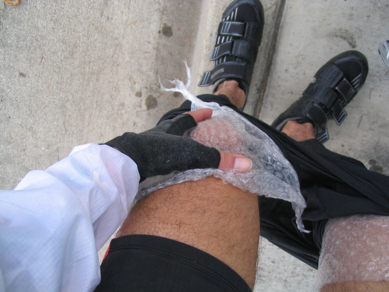
It rained on me all the way back down the mountain, which was extraordinarily unpleasant. It was cold and wet. Yick. When I got to the bottom and had to start pedaling again, my knees hurt from the cold. I was wearing a piece of bubble wrap under my jersey as a Hoover Blanket. Bubble wrap is a great insulator. I pulled it out and tore it in two. Then I wrapped a piece around each knee. My tights held the bubble wrap in place. And then my knees were warm and comfy again.
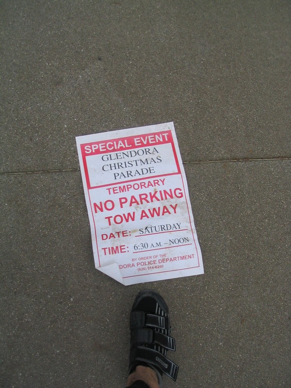
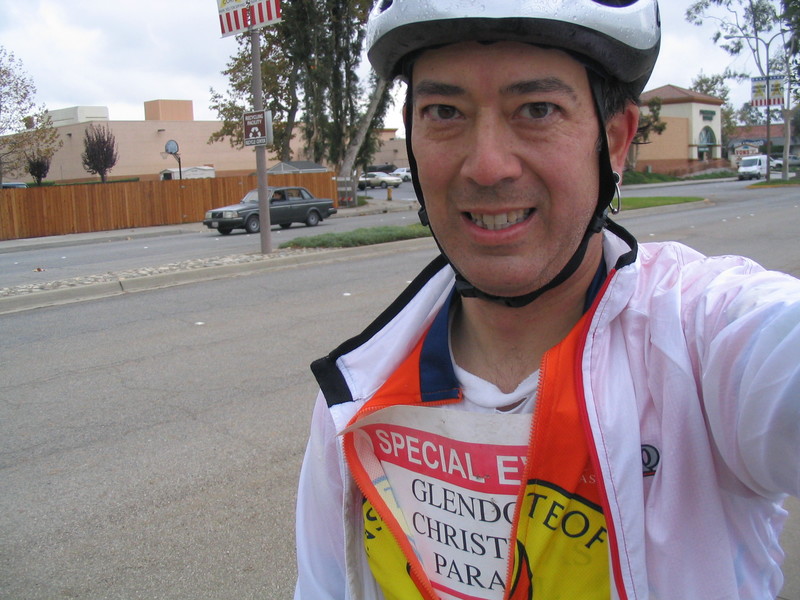
I continued on, but it was quickly apparent that I needed the Hoover Blanket to stay warm. So I started looking for something to use. Finally, I found a temporary ‘No Parking’ sign that was lying on the sidewalk. I brushed the dirt off of it and put it under my jersey. Then things were good again.
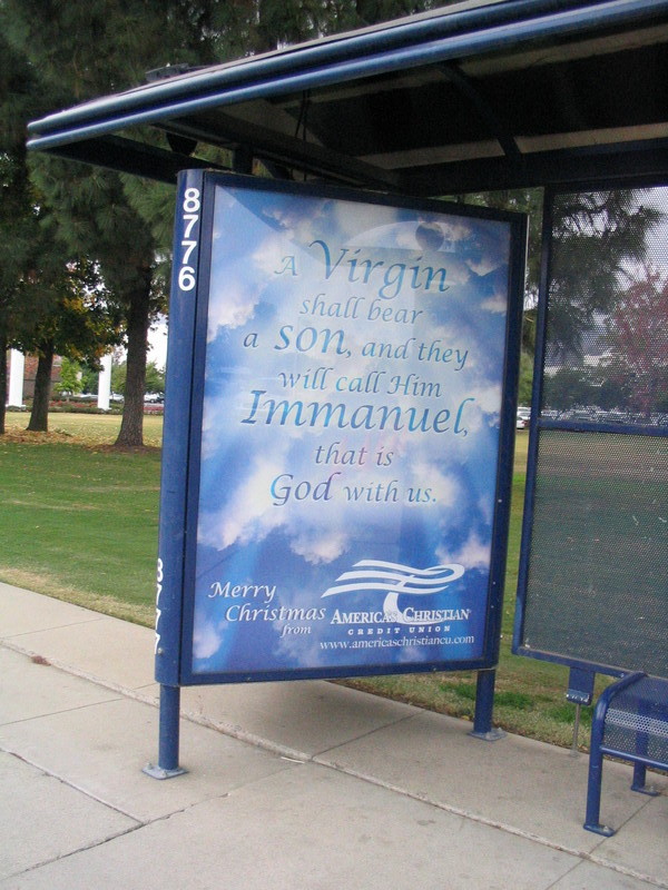
I snapped a picture of a bus-shelter ad for a Christian credit union. I thought that was funny. But I guess that they’d be good to borrow from, since they probably would have reasonable interest rates.
In Monrovia, I met up with a guy who had the same bike as mine. He was the first person I’ve ever seen riding the same bike, and we both agreed that it was a great bike and a great value. He was going a good speed, so we rode together all the way back to Pasadena, and I told him about the regular Sunday ride, since I think he’d enjoy riding with that group.
Overall, it was a pretty good ride, aside from the part riding down the mountain in the rain.
52 miles.