Apollo History
 |
 |
 |
 |
 |
 |
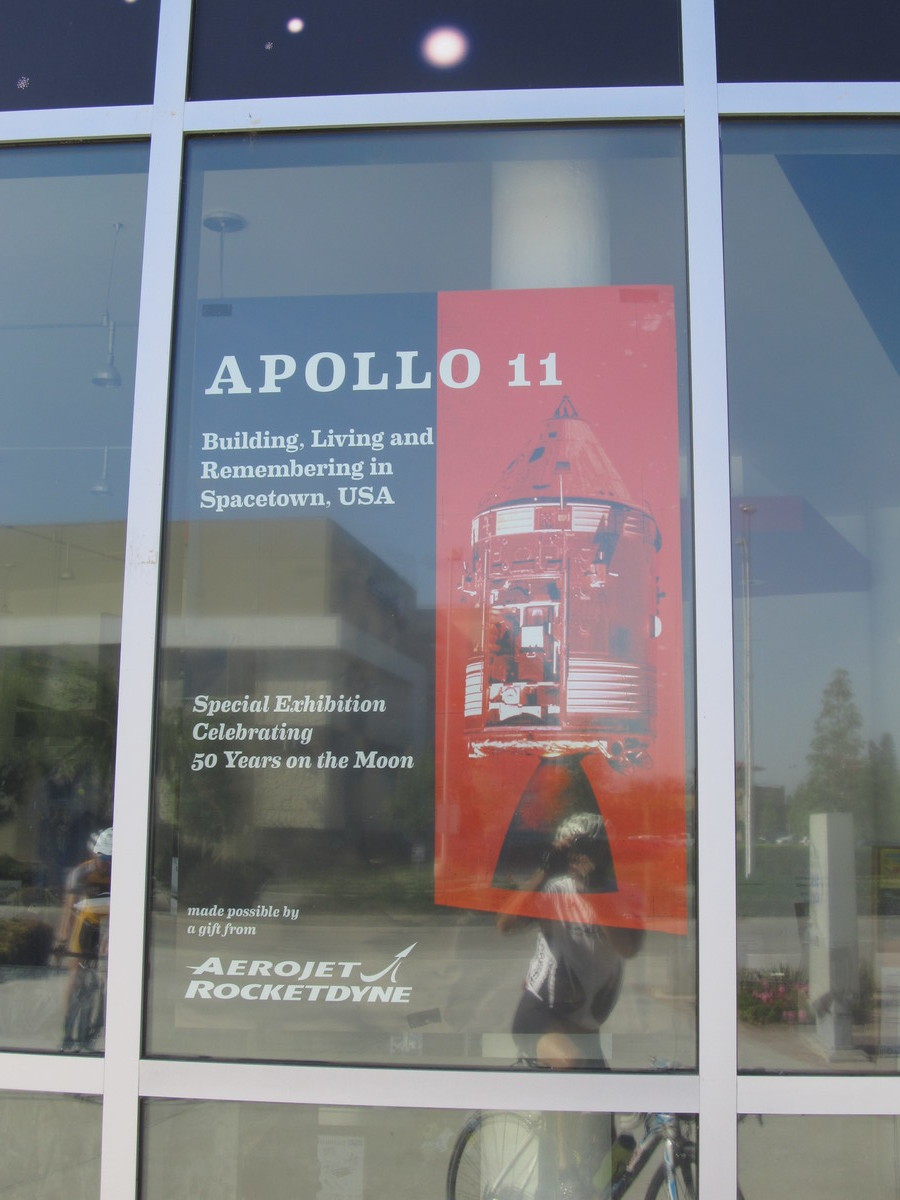 |
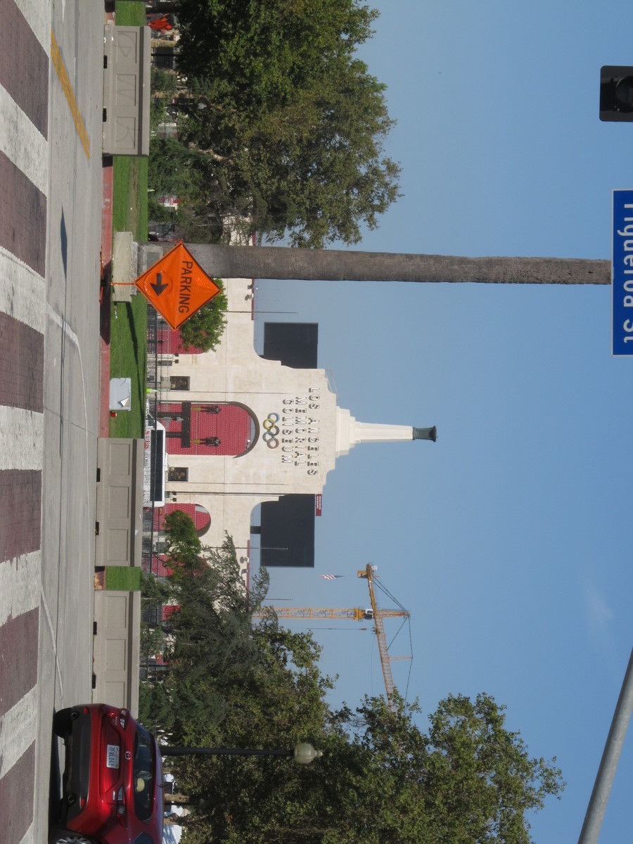
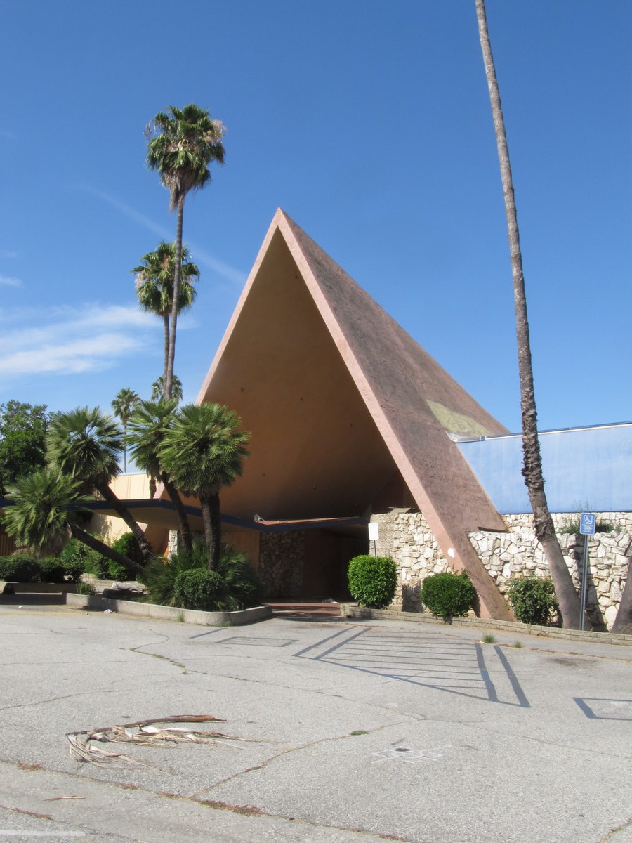
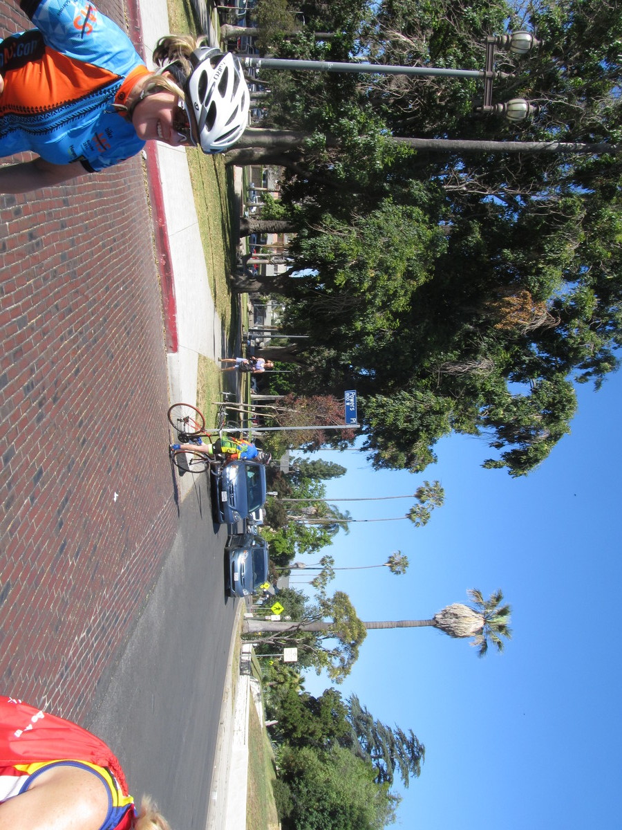
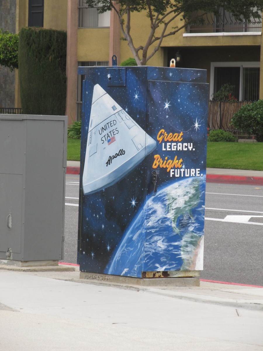
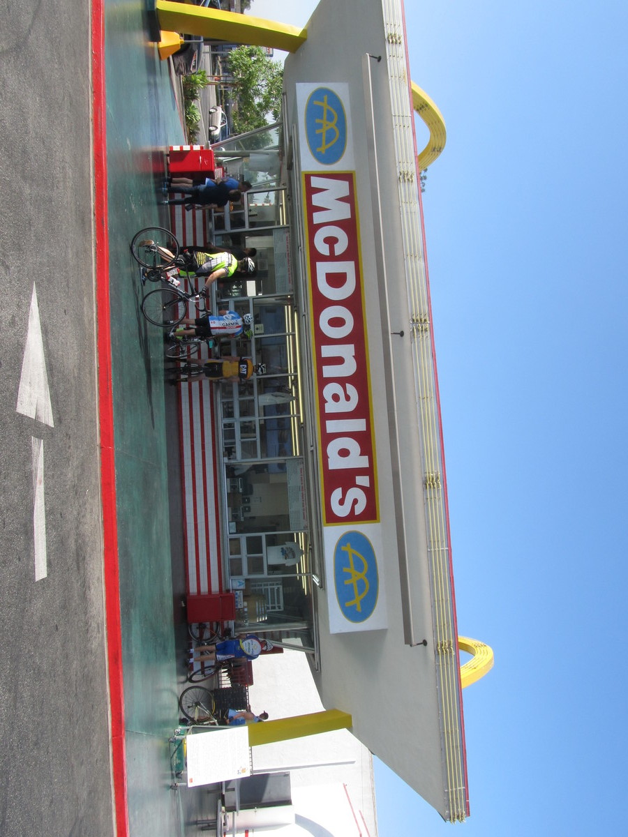
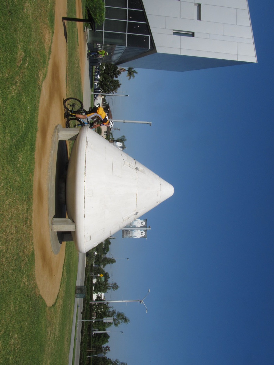
Today’s bike club ride was a visit to Downey to see the oldest McDonald’s, and also a bit of history from the Apollo Program. The Apollo Command and Service Modules were build by North American Aviation at their big plant in Downey. The land the plant was on is now a mix of shopping centers, some park space, a hospital, and various other things.
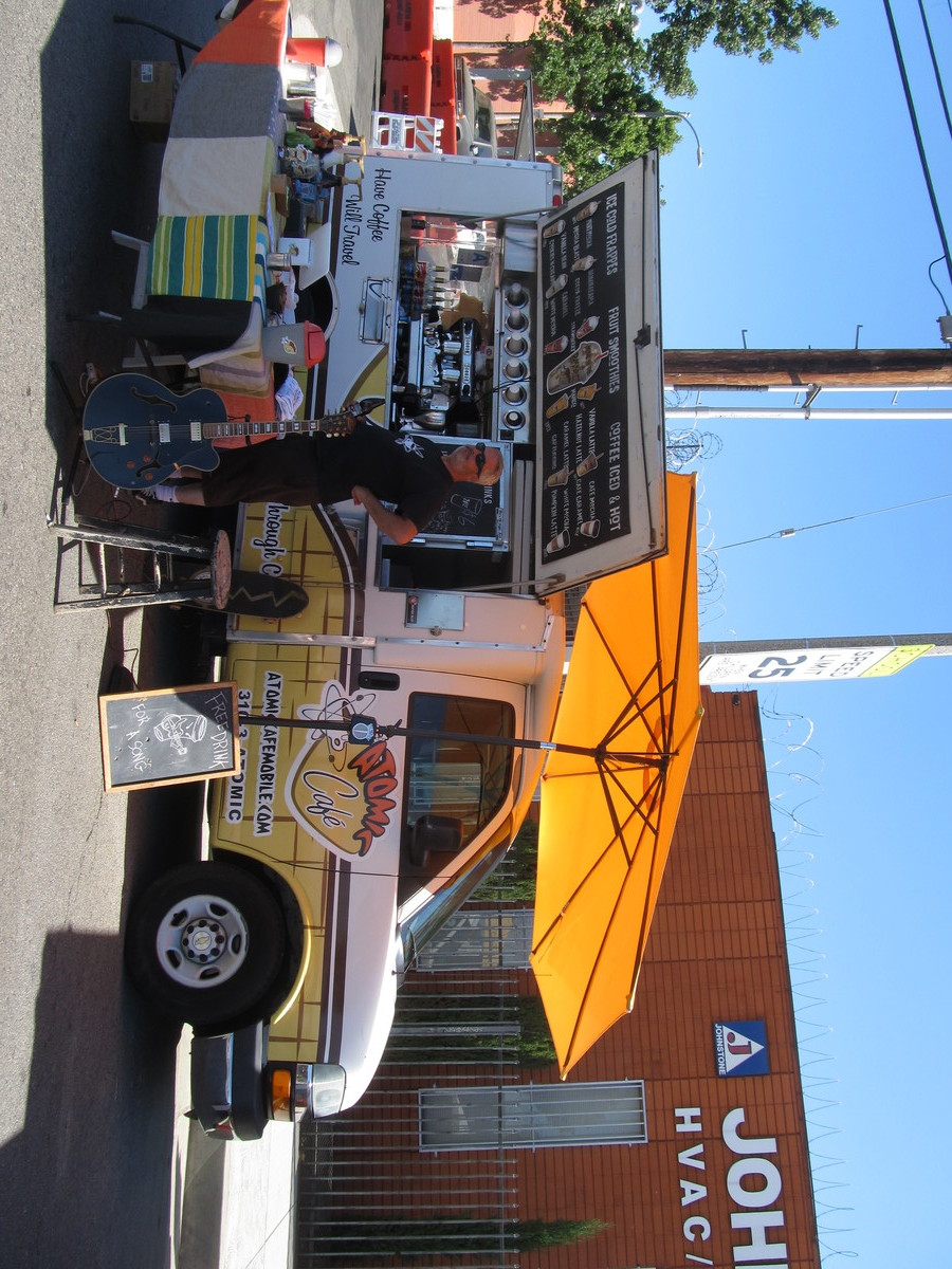
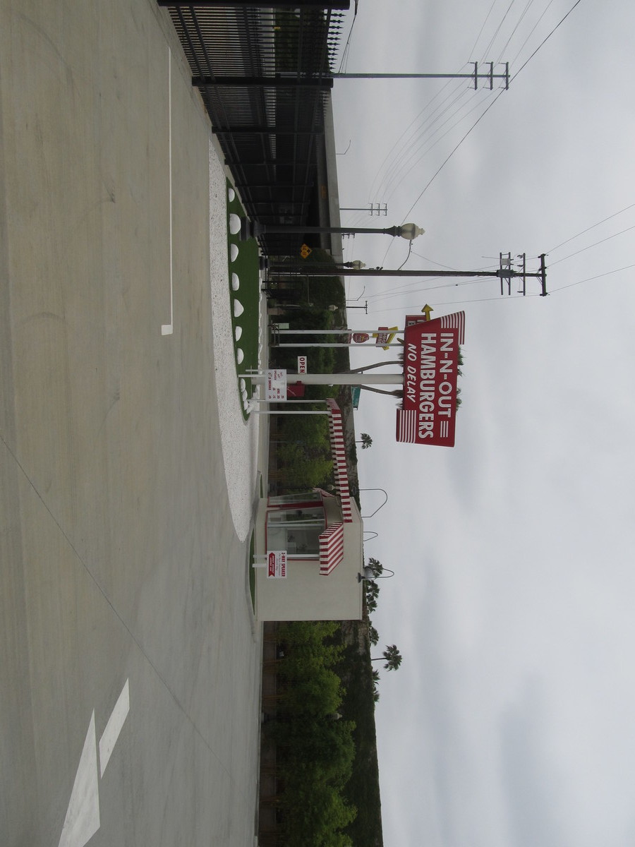
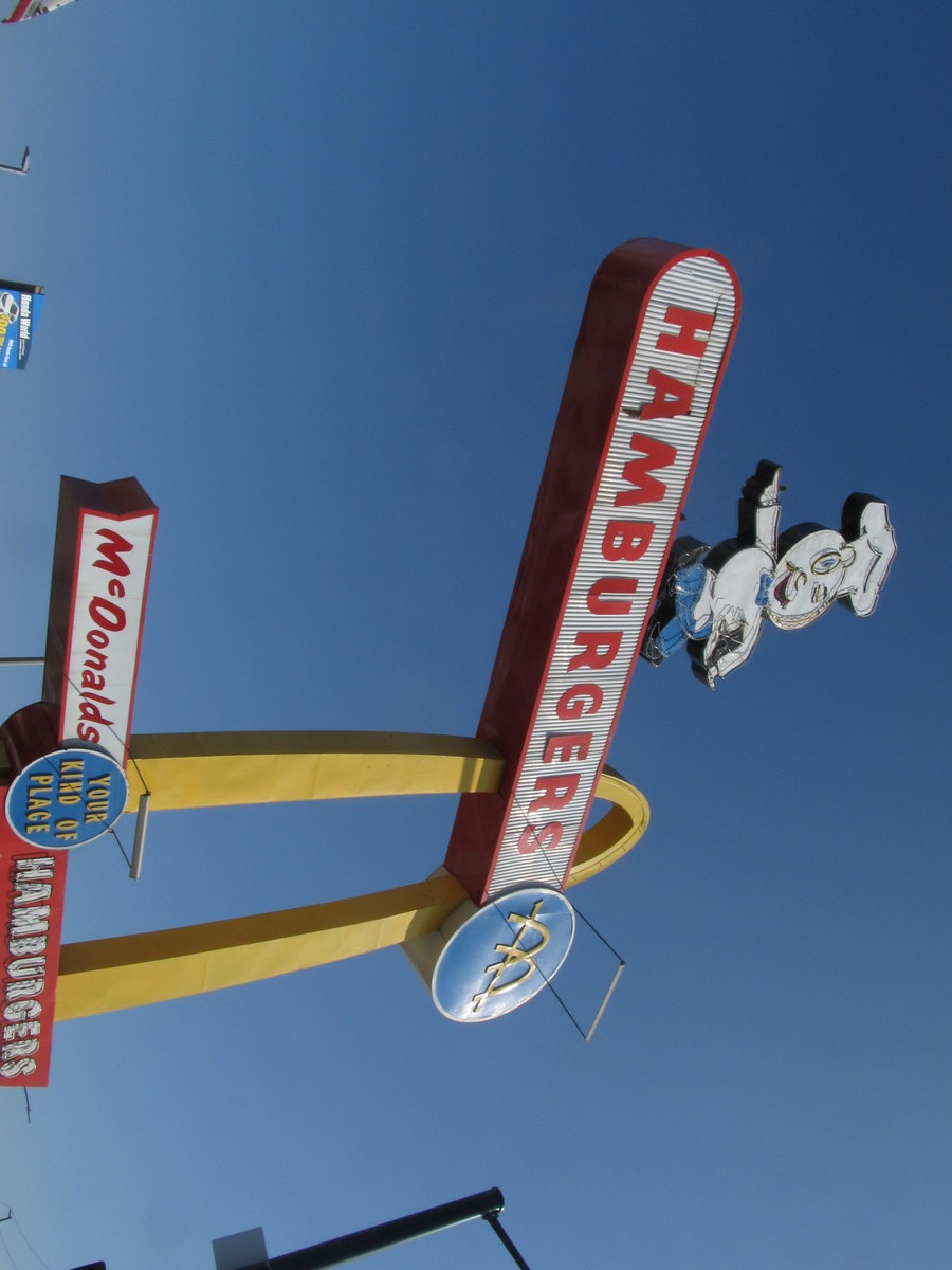
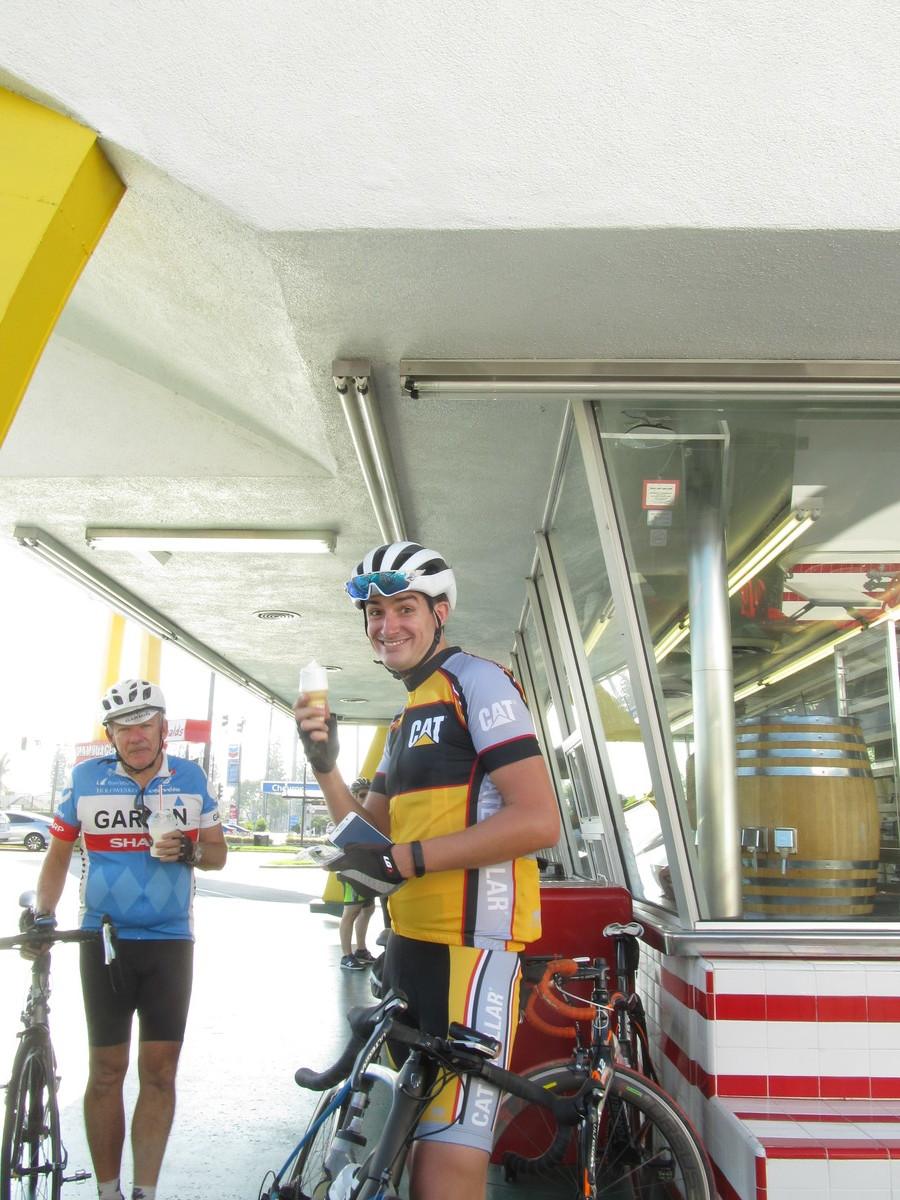
On the way there, we stopped to see the oldest operating McDonald’s, and the Apollo Center shopping center next door. When we go to the Columbia Space Center museum, we saw the boilerplate command module model on display outside. Then we headed over to our snack stop at 3rd St Coffee in Downey.
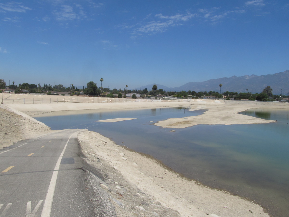
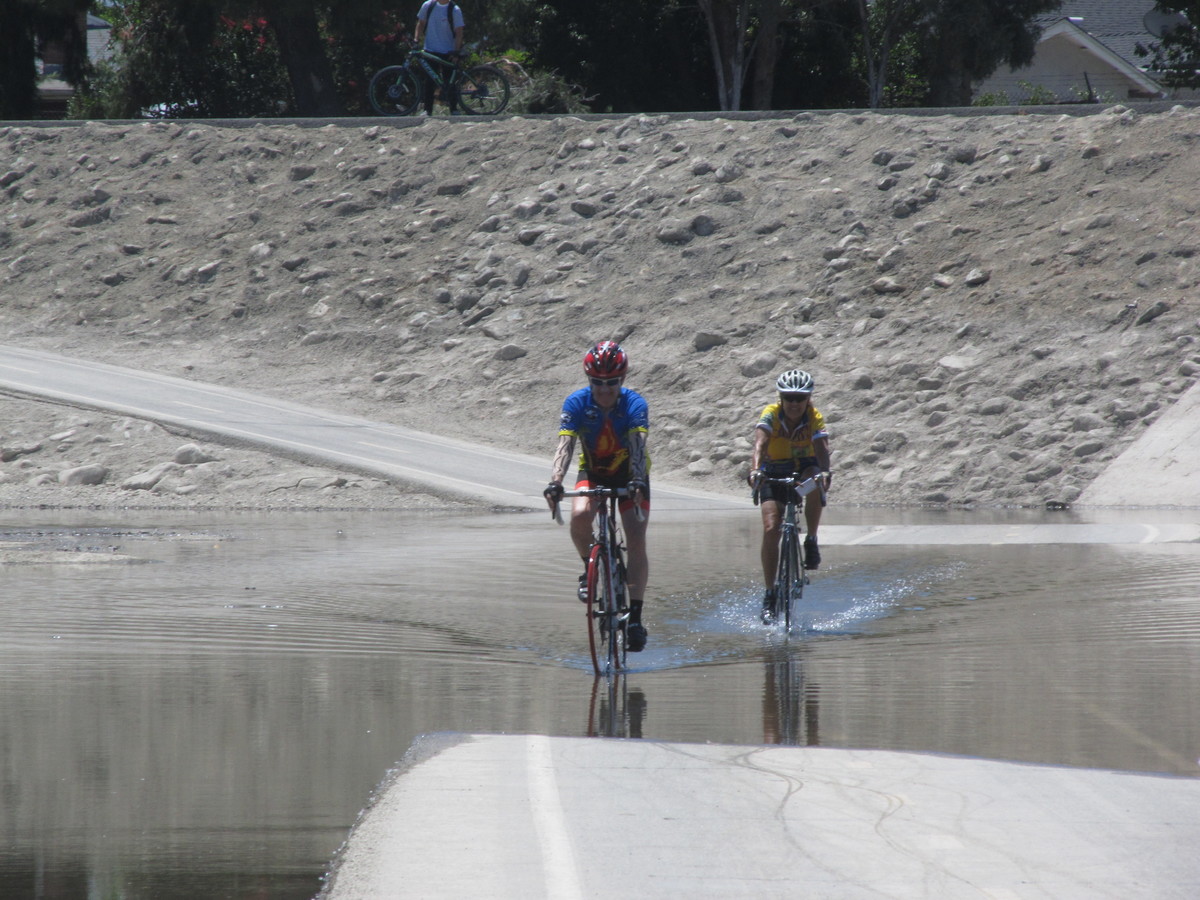
This was a pleasant and also very flat ride.
46 miles.
Comments Off on Apollo History