Dollface
 |
 |
 |
 |
 |
A few weeks ago, when we were out riding, I saw an ad for a new series on Hulu called “Dollface“. I made a note to look this up, since it’s Kat Dennings, who I’m a huge fan of ever since she was Norah in “Nick & Norah’s Infinite Playlist“. For reasons I can’t quite explain, “Nick & Norah” is one of my most favoritest movies of ever.
So I watched the series when it came out, and I liked it a lot. There are a lot of little surreal bits in it, and in particular, two of my most favorite ones were the beginning of episode 2, when Jules got into a fight with the fitness app on her phone, and also episode 9, where they made their own version of “The Wizard of Oz”. So going to see a couple of these locations became the theme for today’s ride.
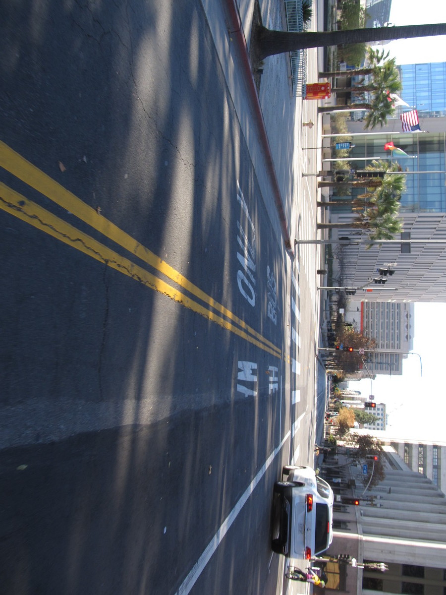
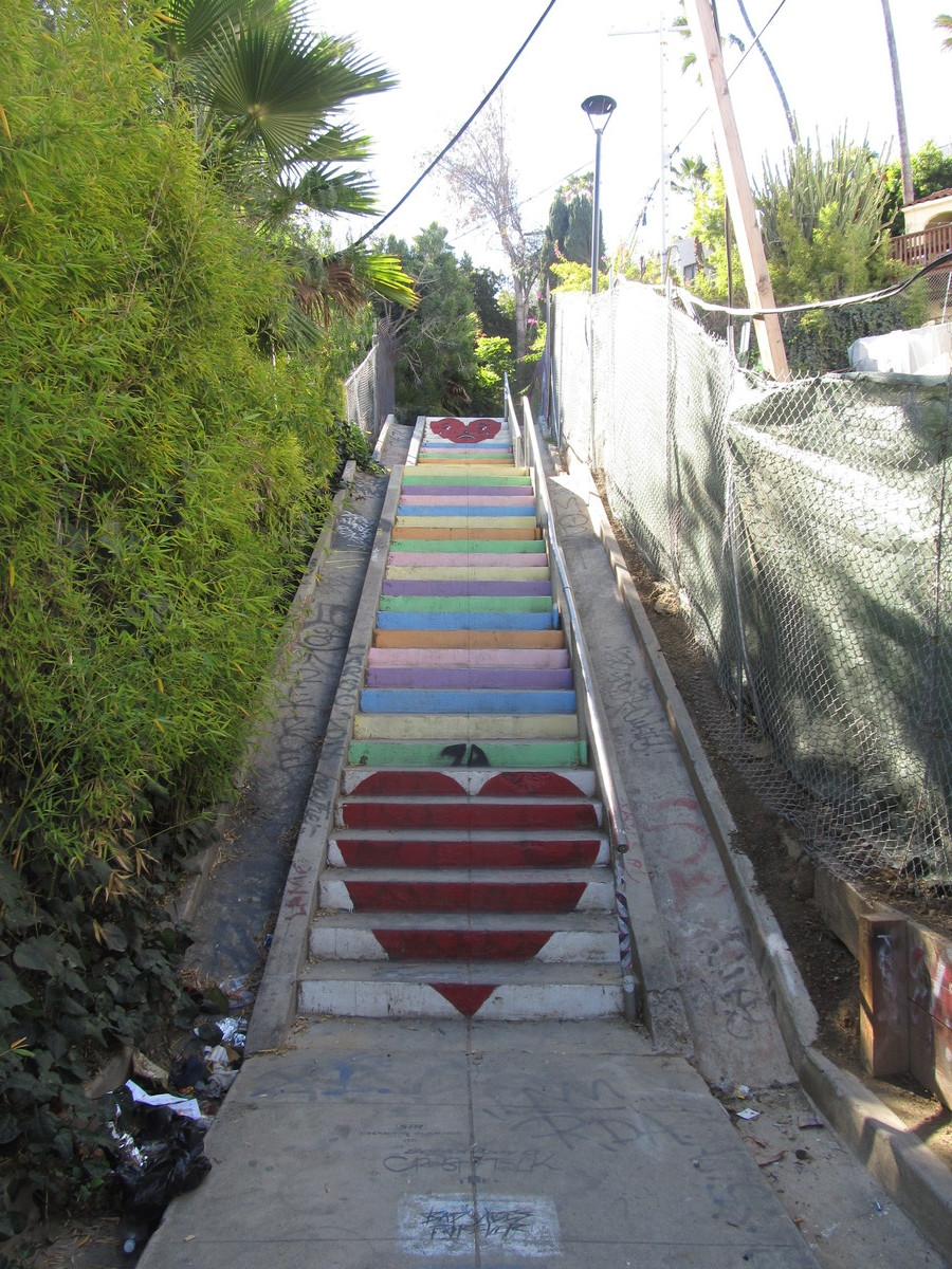
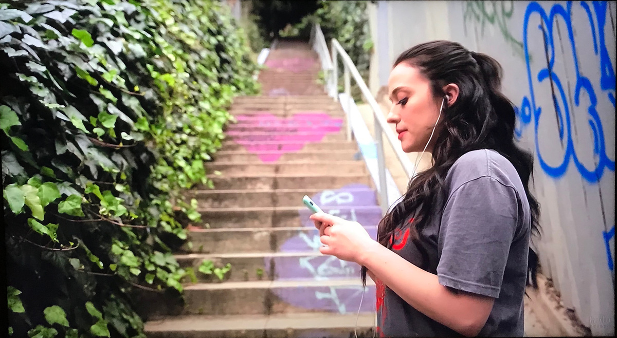
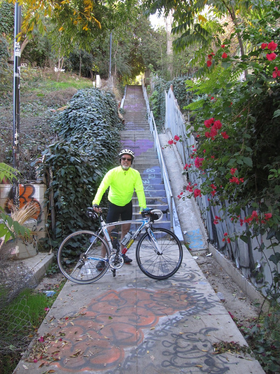
The scene with Jules fighting with the app on her phone was shot at the Micheltorena Stairs in Silver Lake, just off Sunset Blvd. I worked out a reasonable route to get there, including riding through downtown L.A., which was the scene of the women’s march in sort-of-Oz in the “Feminist” episode. And we were off.
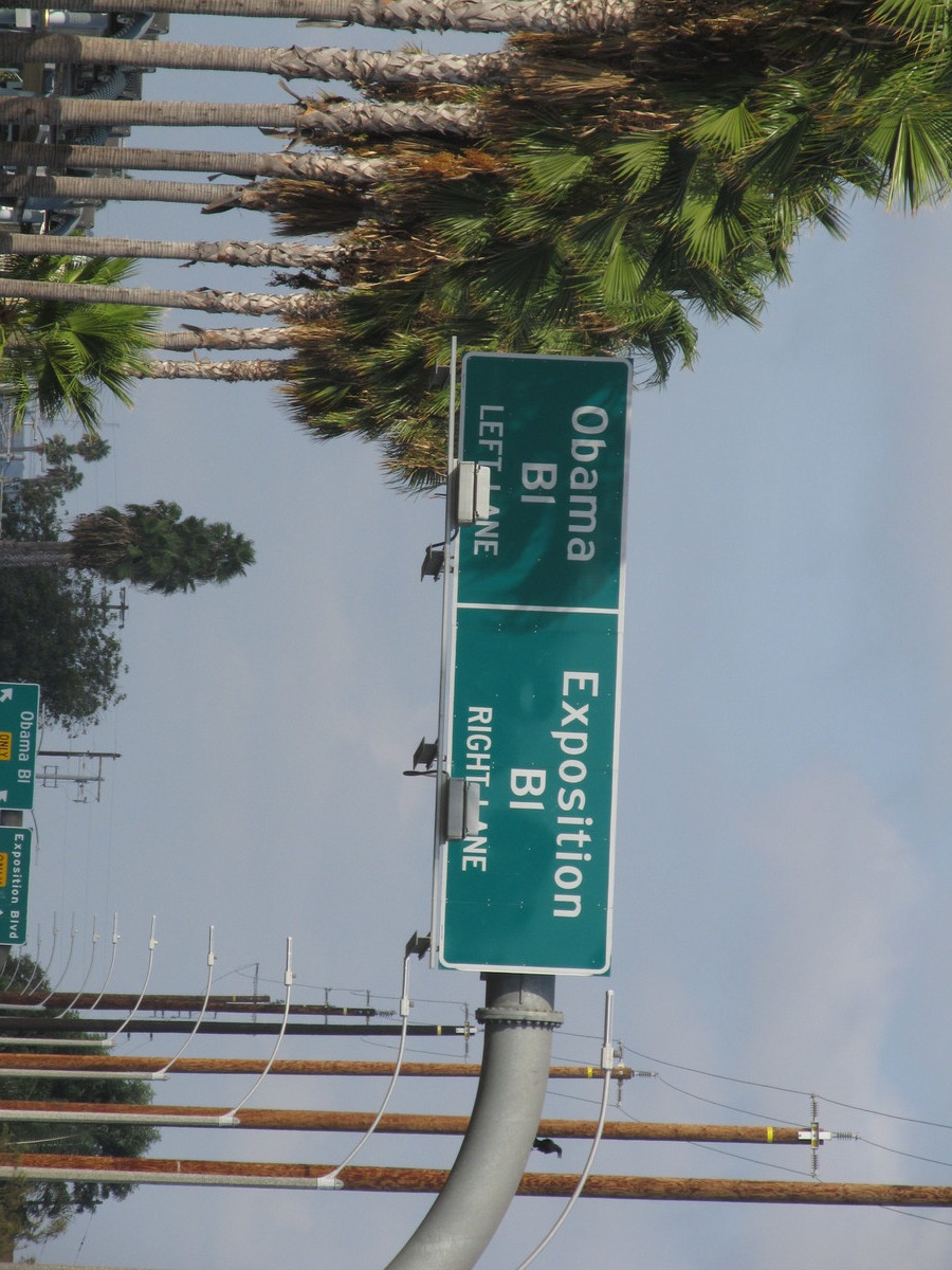
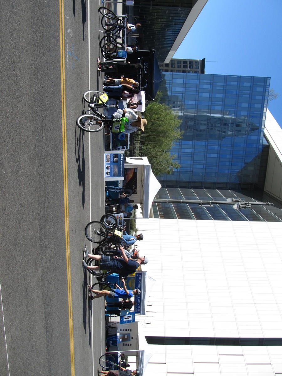
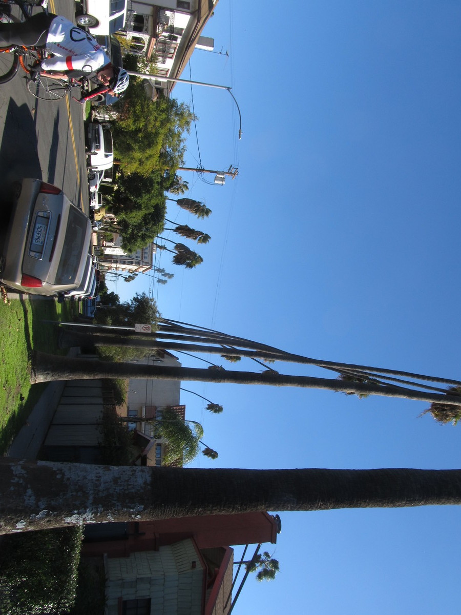
It was a bit windy when we started out, but we figured it would be all right. By the time we got to downtown L.A., it had reached the point of being windy enough that it was getting unpleasant to ride in. On the other hand, that also made for another tie-in with the show, since the “Feminist” episode began with a crazy windy day in L.A.
We rode out to Hancock Park and stopped for bagels at Noah’s there. The wind had gotten bad enough that people walking were having trouble with it. But we pressed on. We rode back into Silver Lake, and then down a very steep hill to get to the bottom of the staircase. The lower part of it has been painted with hearts, and is known for being the most Instagrammed staircase in L.A. The actual scene from the show was shot on the upper part of the staircase, so I walked up there, carrying the bike. I got my photo-op, and at that point, I said “uncle” and decided to bail out and take Metro home. The nearest Metro station was the subway at Vermont and Beverly, so we headed over there. Just before we got there, we saw a homeless tent colony on fire. That was kind of scary, and the smoke was very thick. But we made it to the subway and rode the train back to Pasadena.
33 miles, including the two miles from the Pasadena Metro station back to the park.