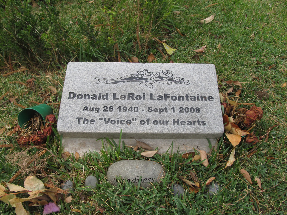
This past week, we were watching the 1954 movie, “White Christmas” again. This stars Bing Crosby, Danny Kaye, and Rosemary Clooney. All are big-name stars. Yet there were four major characters in the story, the fourth played by Vera Ellen. Since she had a large role in this movie with big stars, I was wondering why I didn’t know who she was. So I went looking. Turns out she was a dancer, and worked in a lot of movies with big-name stars in the 1950s, but she stopped making movies in 1958, and she died of cancer in 1981. And at the end of the trail, I read that she was buried in Glen Haven Memorial Park in Sylmar. I looked it up, and looked at the relatively short list of famous people buried there. And when I saw Jeffery Hunter on the list, I immediately knew we had a new bike ride in our future.
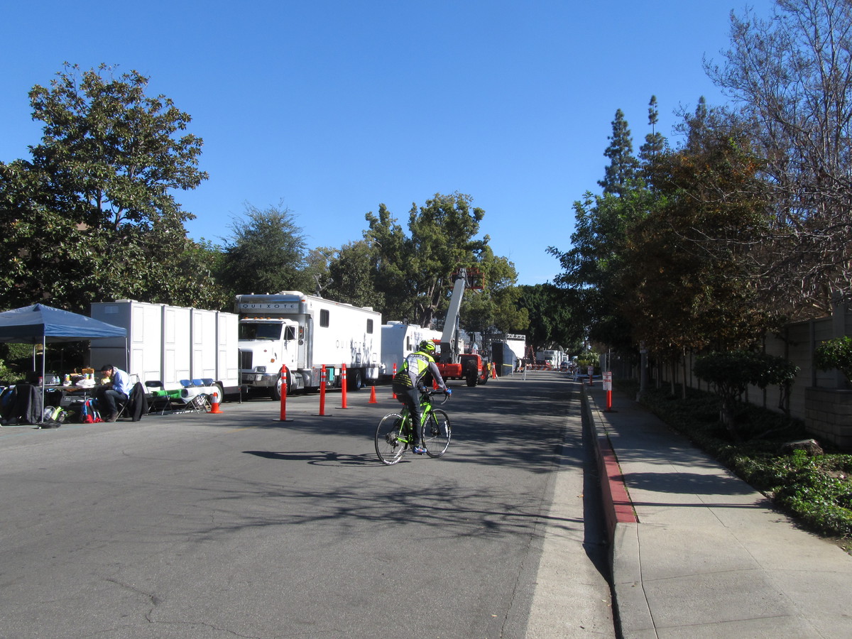
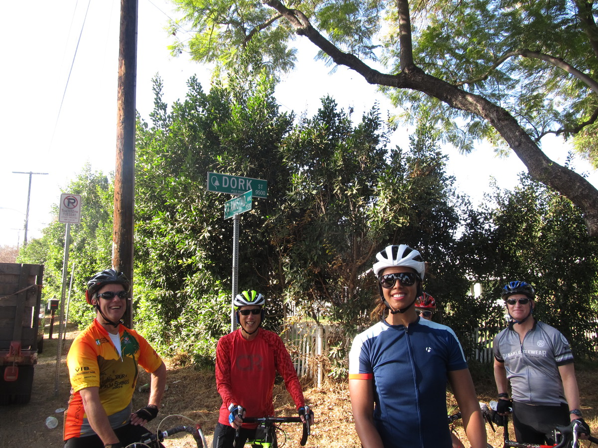
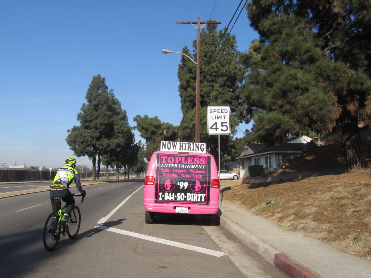
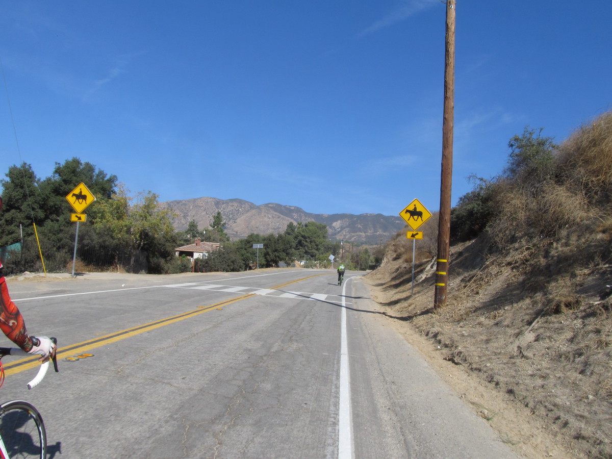
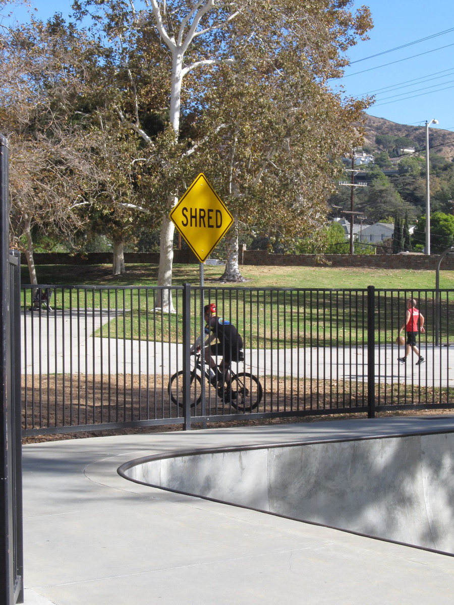
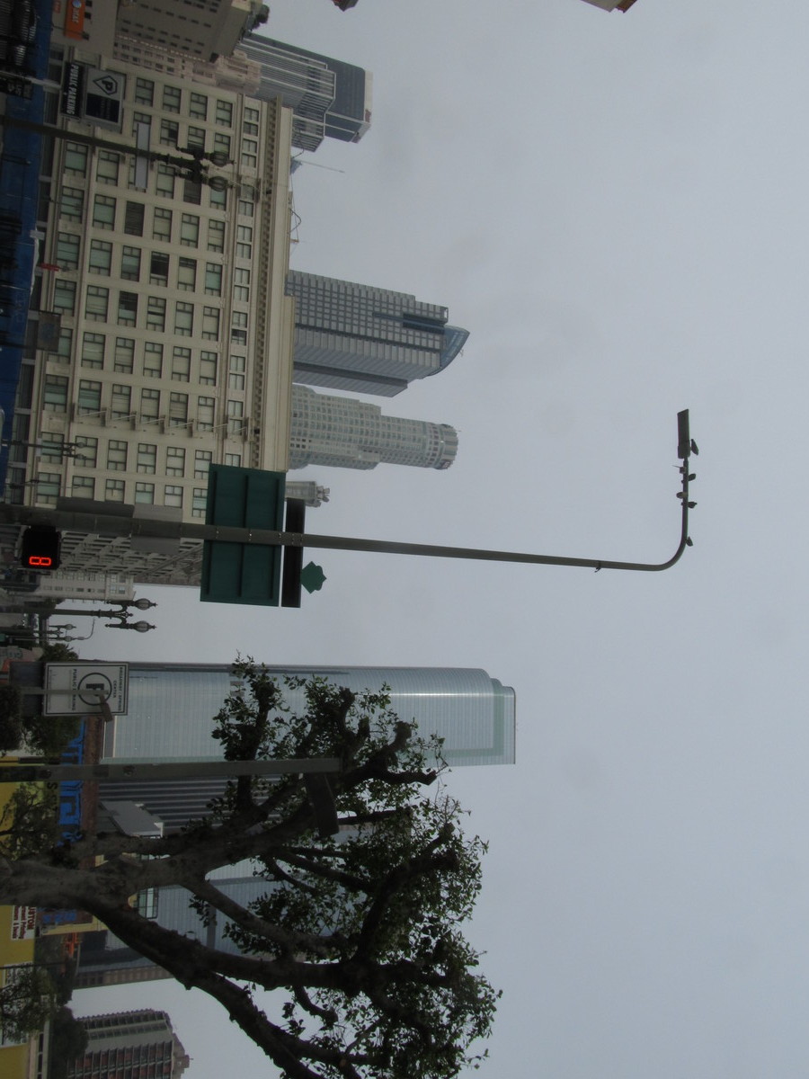
We headed out our usual route across Eagle Rock and Glendale, and then took Glenoaks all the way up to Hanson Dam. Along the way, we saw the van advertising the Hot Topless Maids, including a sign that they are hiring. Good to know. When we got to Osborne, we took that across the dam and then started up Kagel Canyon.
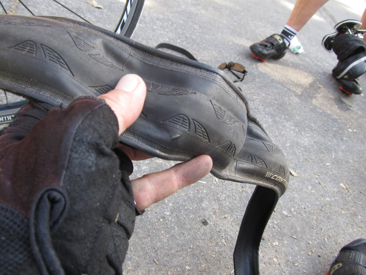
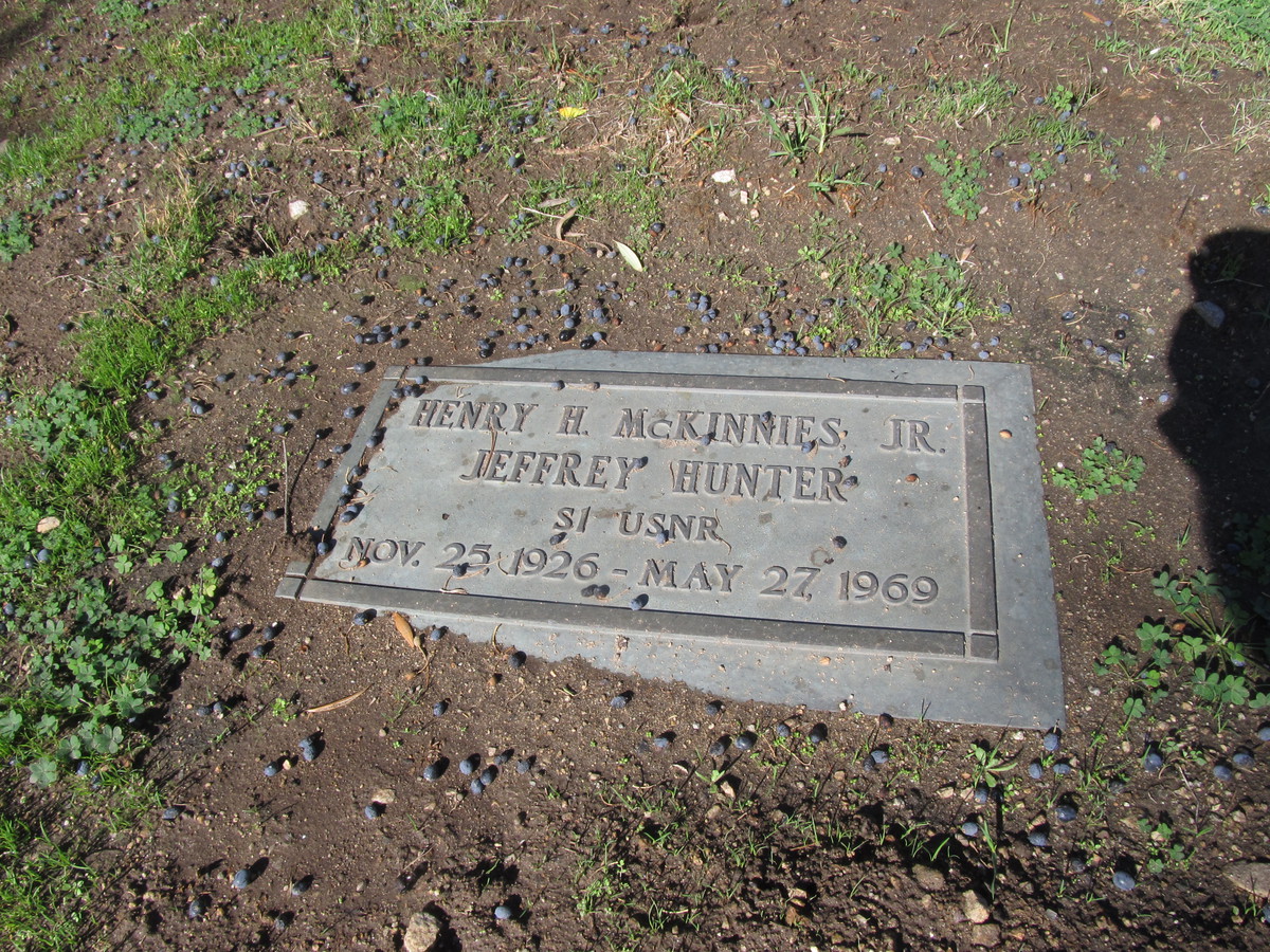
When I mapped out this ride, I knew we had to go up Kagel Canyon a bit, but I really didn’t pay attention to how far we had to go. It turned out to be about three and a half miles, all uphill. Yikes. And about two and half miles in, Carla got a flat. But we finally made it up there, and there was this little cemetery with a commanding view of the San Fernando Valley. We found Jeffery Hunter first. I had to explain to everyone his significance in the geek world. He played Captain Pike in the first “Star Trek” pilot episode, “The Cage“. So even though he was only ever in one episode, he still has a place in the “Star Trek” universe.
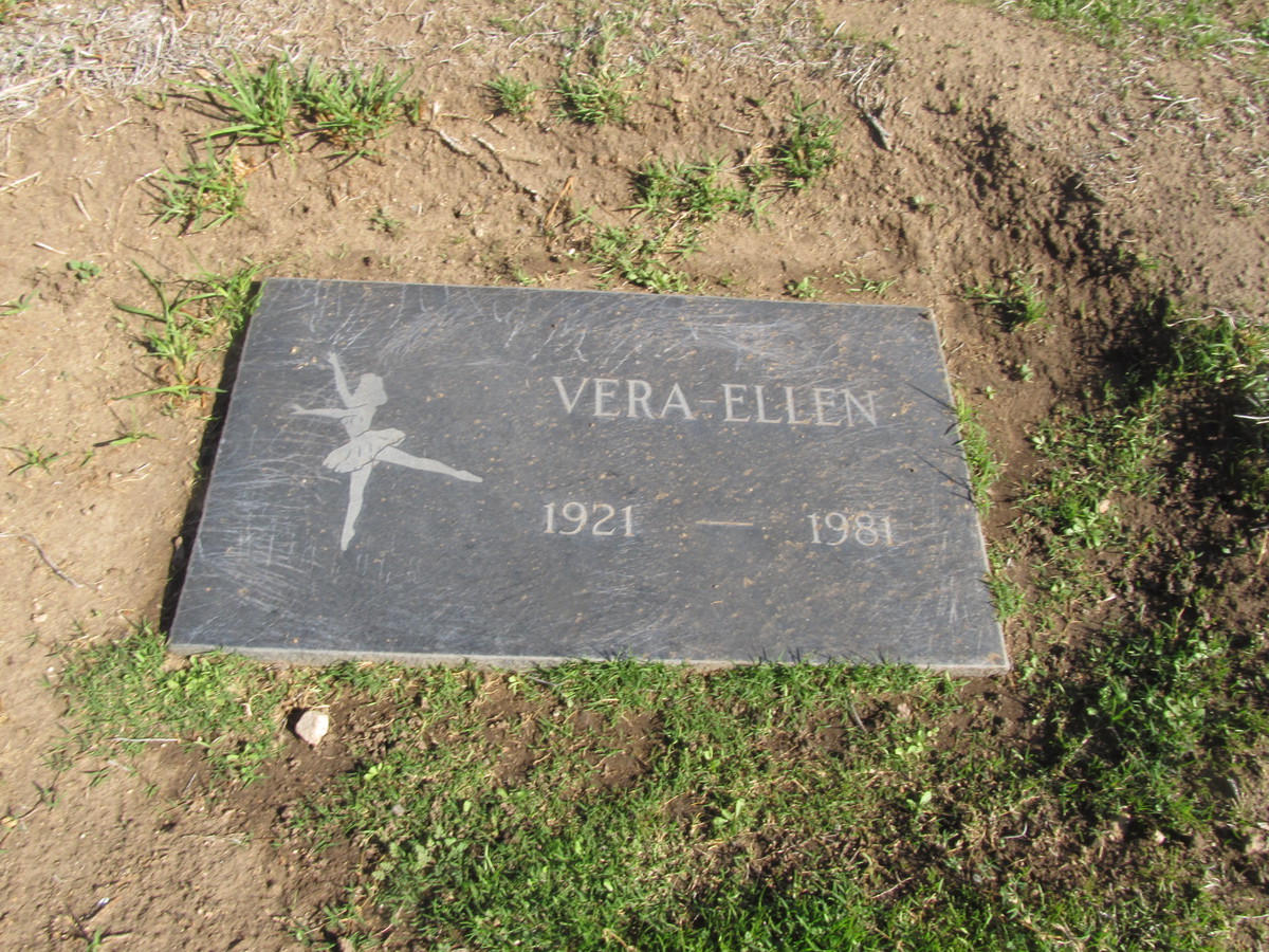
Then we went to find Vera Ellen. I’d made a map by hand showing her approximate location, but we had trouble finding her. In the end, John looked up the lat/lon coordinates, and then we walked around with my little Magellan GPS until we’d matched them up. And then she was right there.
Now it was time to head back down. That was a nice, long descent. The sort I would have loved in my racing days. Then we got on Foothill Blvd for the ride home.
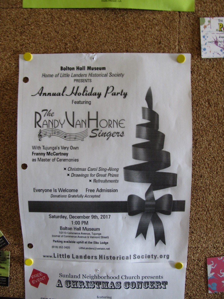
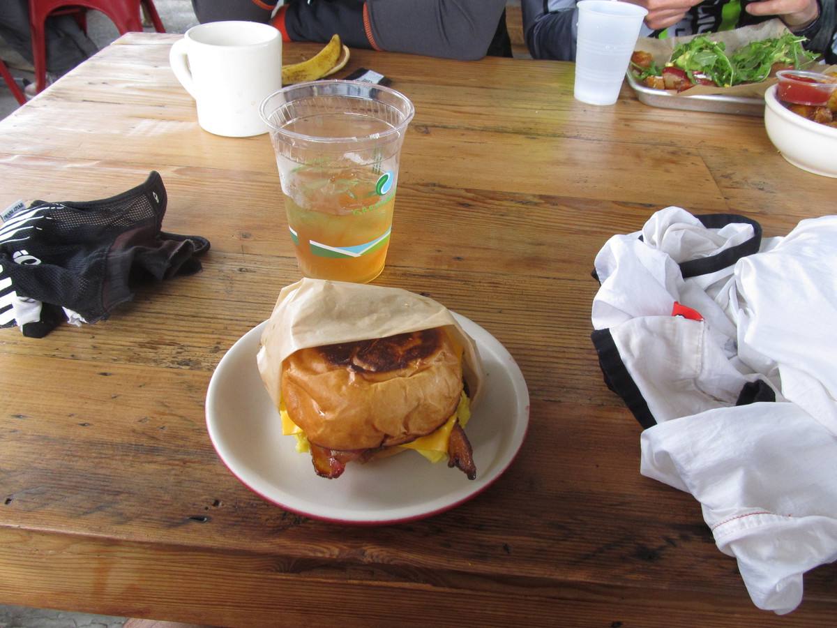
Along the way, we met up with another bike rider who lives in the area. He told us that the coffee shop that I’d found in Yelp was closed. He recommended the Back Door Bakery, so we went there. And it was quite good. While we were there, I saw a flyer on the bulletin board for a holiday party that was going to feature the Randy Van Horne Singers. We all know them, even if we don’t know that we know them. Here’s a hint:
Van Horne, Randy Van Horne
He’s piece of music history
He sang ’bout the Flintstones
In the song that we know from TV
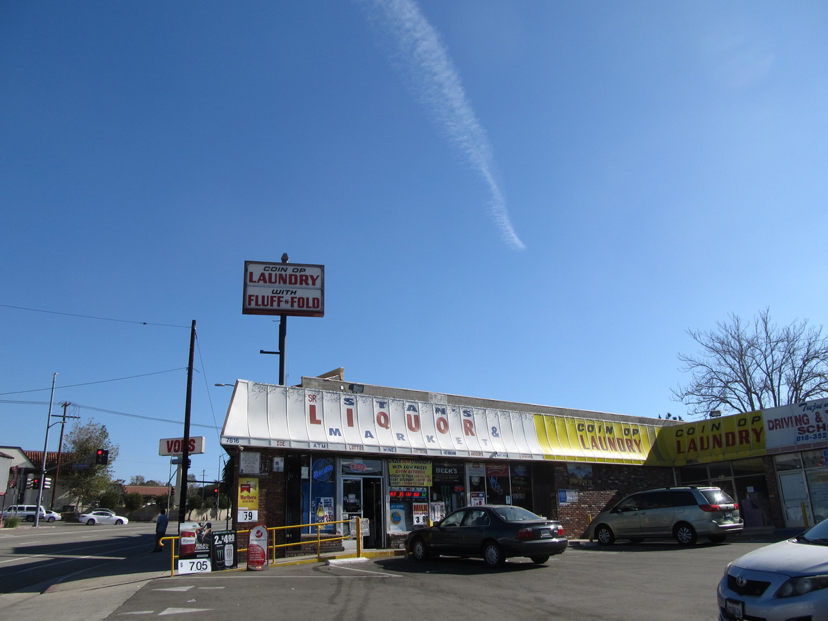
Then we continued on up the hill through Tujunga until we passed Stan’s Liquor near the top, and then headed downhill into La Crescenta. From there, it was going to be mostly downhill all the way home.
In the end, the route turned out to be somewhat longer than I’d expected. Mostly because I didn’t measure how far up Kagel Canyon we had to go.
50 miles.
Route map and elevation profile