Time to climb
 |
 |
 |
 |
 |
 |
 |
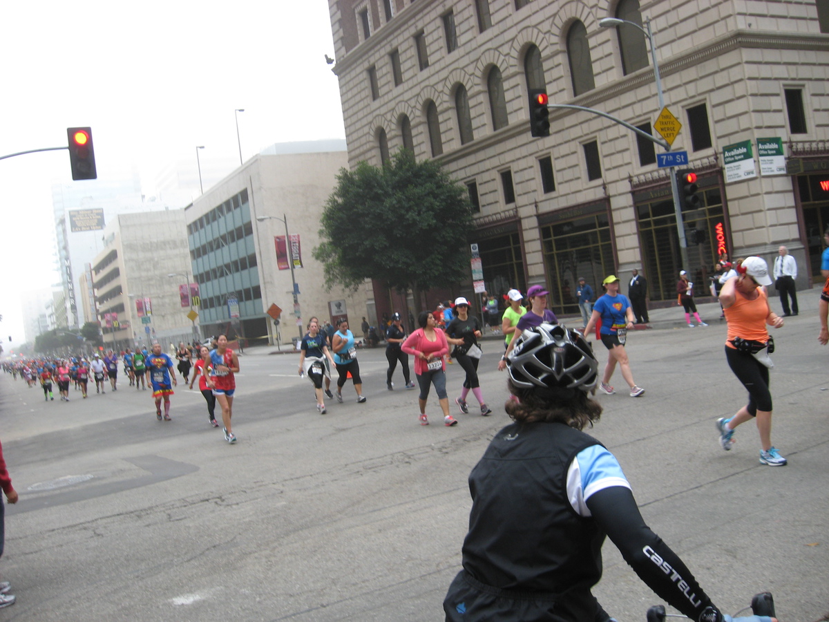
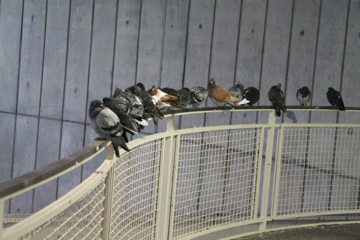
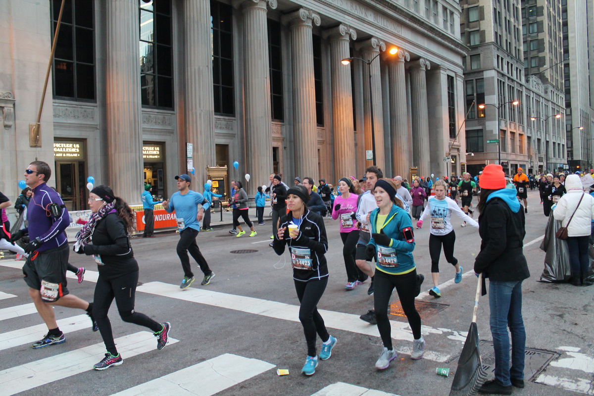
Sunday morning came much too early. I was supposed to be downtown for a 7:30AM start up the building. We got up and headed over to the train station. There were puffed-up pigeons roosting in there, just trying to stay out of the cold wind. And on the train downtown, I noticed that there were many, many people on there way there for the Hot Chocolate 5k run. I couldn’t help but notice that they were all smiling and laughing like they were going to have a grand time, while I felt a bit like a lamb being led to slaughter.
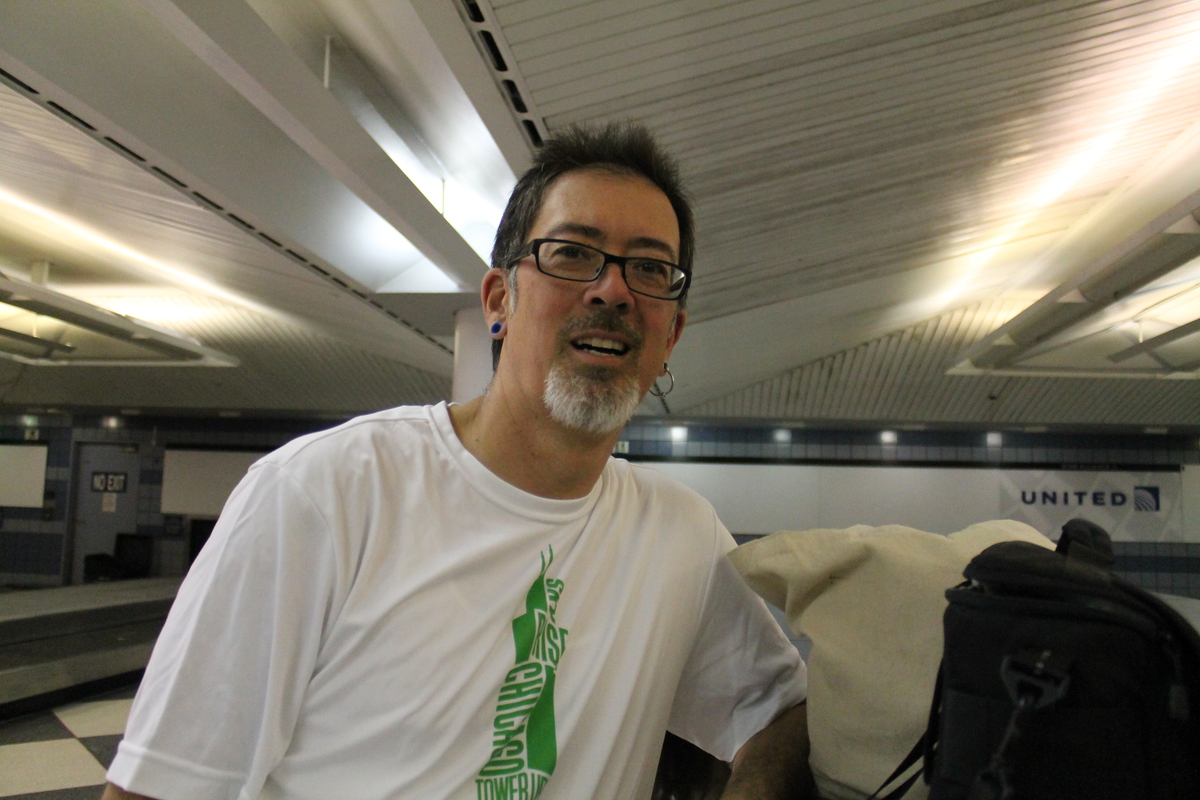
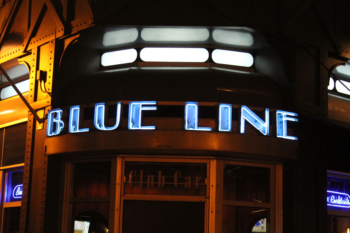
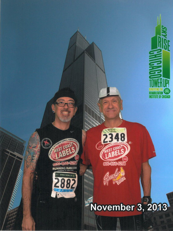
Once we got downtown, we walked over to the building. Because we’d gotten in late, I had not been able to get my packet yesterday, so I found out I had to go talk to the people and get a new number assigned so I could run. By the time all that was done, it was almost 8:30 when I got in line. I started out at the same time as Michael from the WCL team, so we stood for a green-screen picture at the bottom. Then it was time to go. As has been the case all year, I just couldn’t face trying to go fast, so I just went up at a modest pace. 4 1/2 floors per minute. It’s fast enough that I pass about 90% or the people there, but not so fast that it’s seriously painful. Still, I got stuck in traffic in the stairwell. There were people with prosthetic legs and crutches climbing the building. While I admire their courage, do they really need an entire entourage around them, blocking the whole stairway for everyone else?
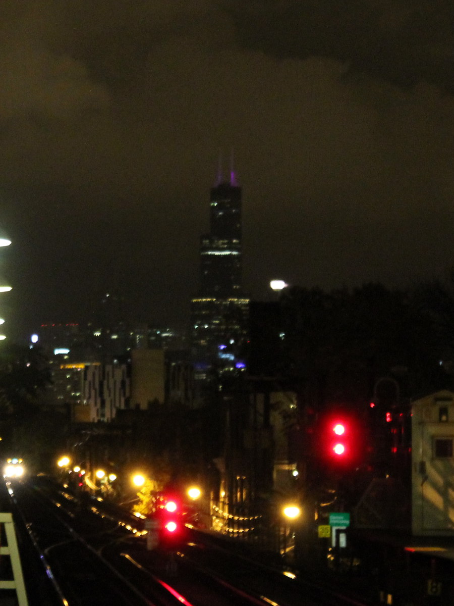
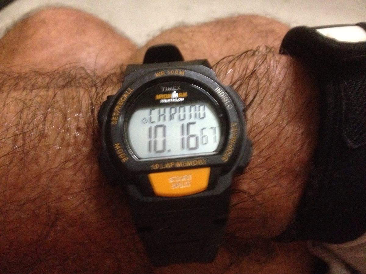
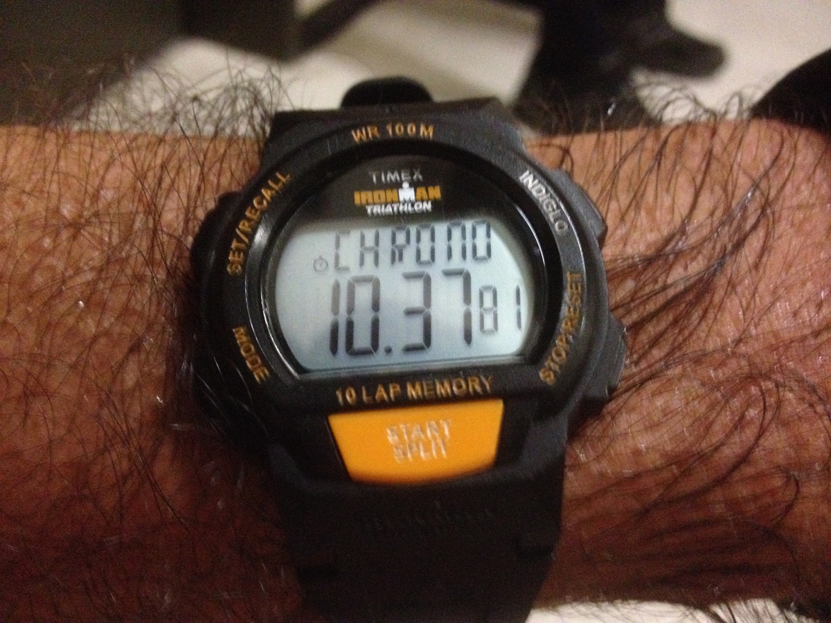
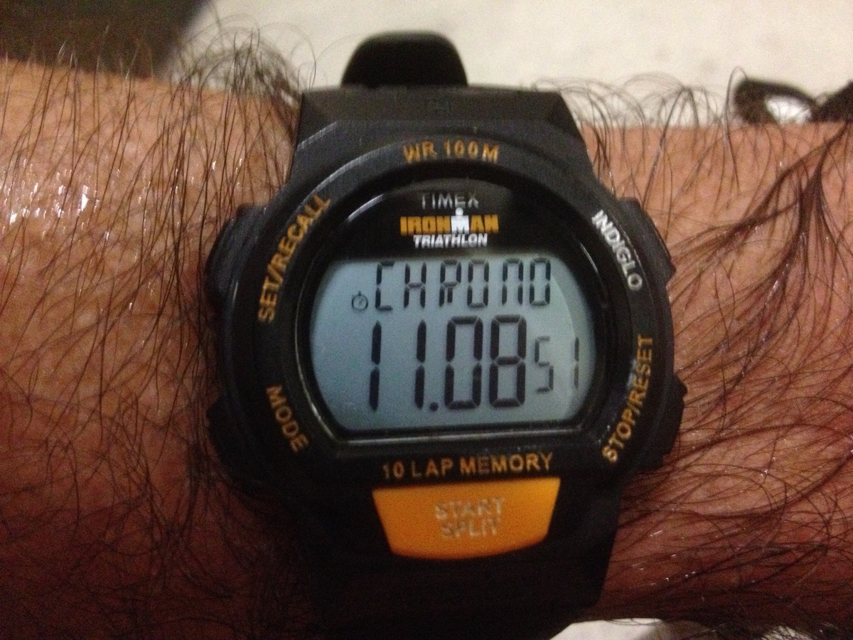
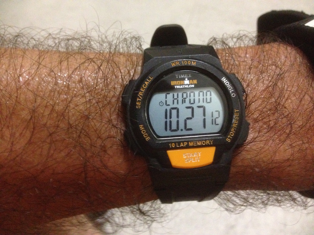
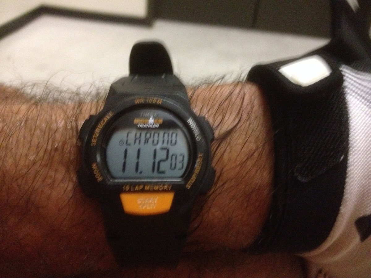
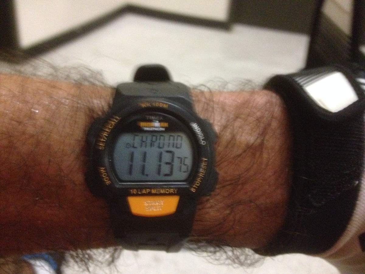
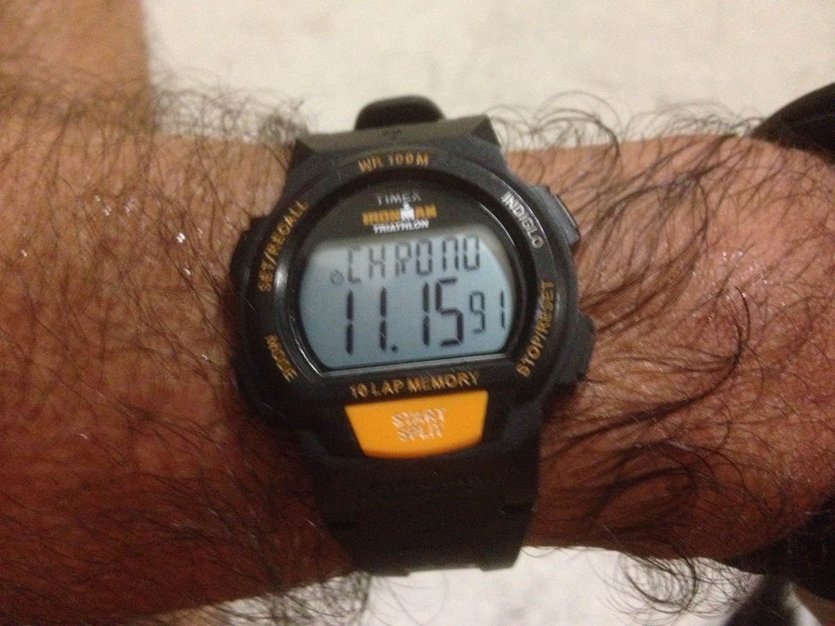
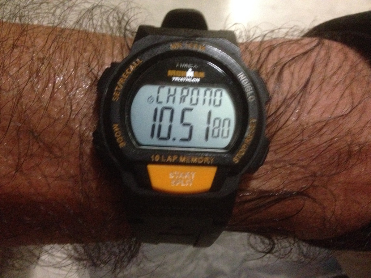
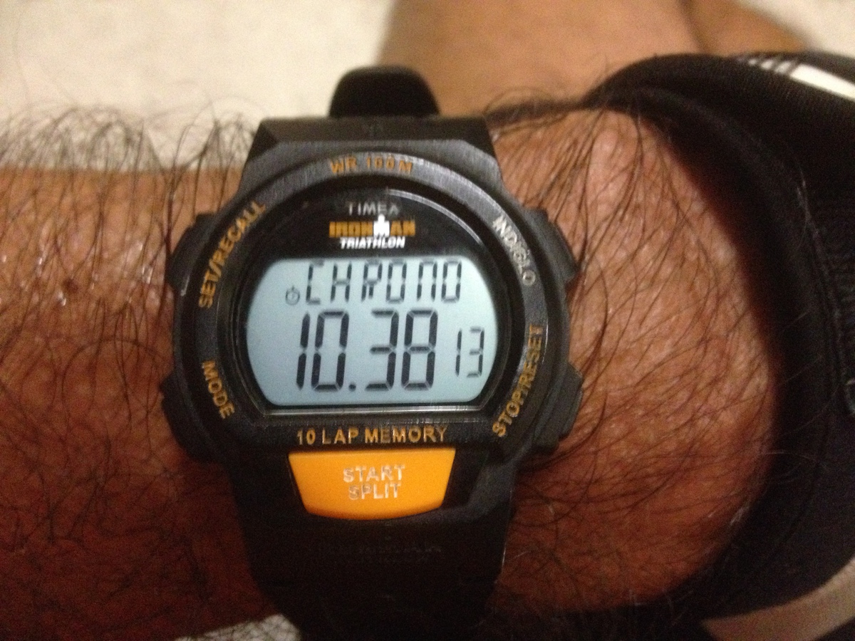
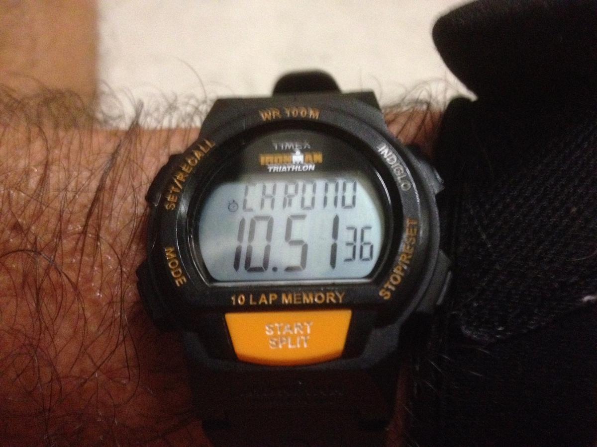
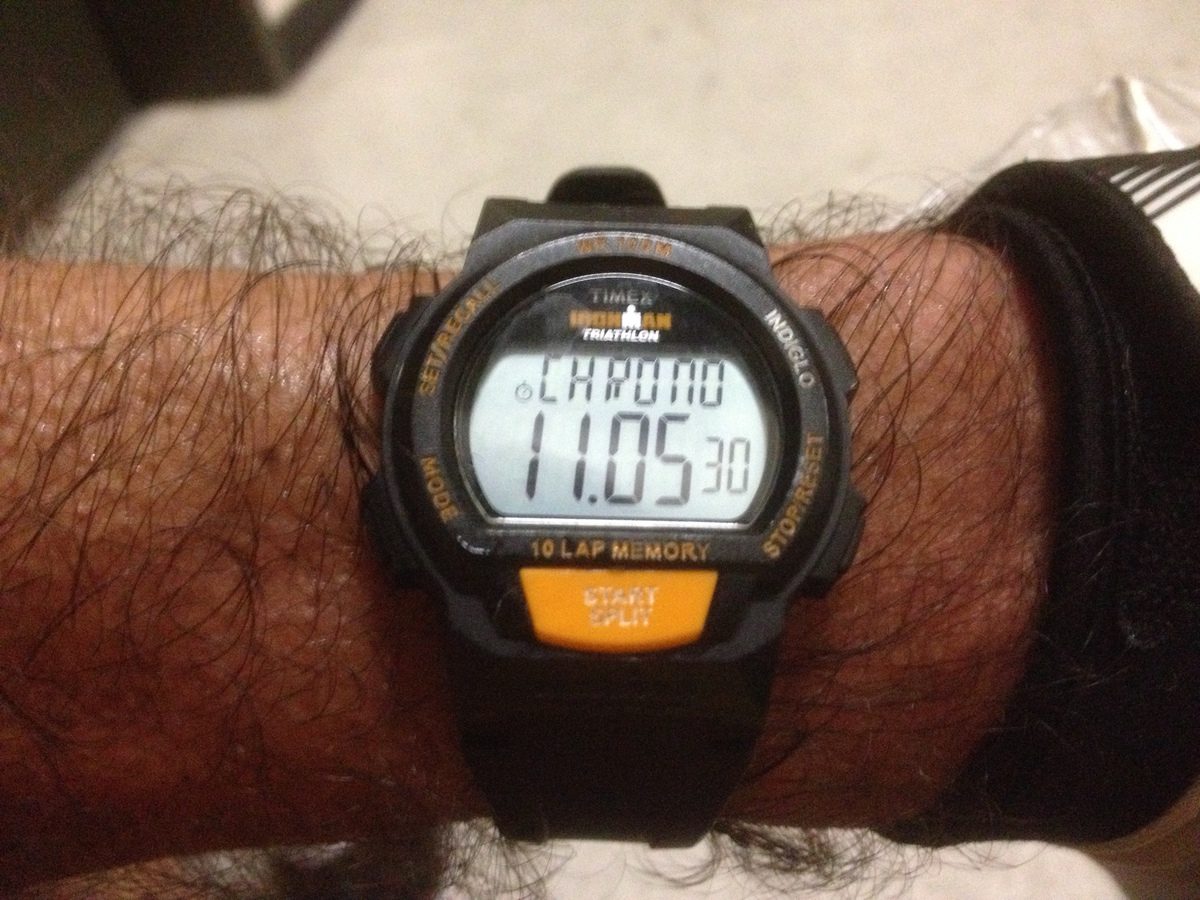
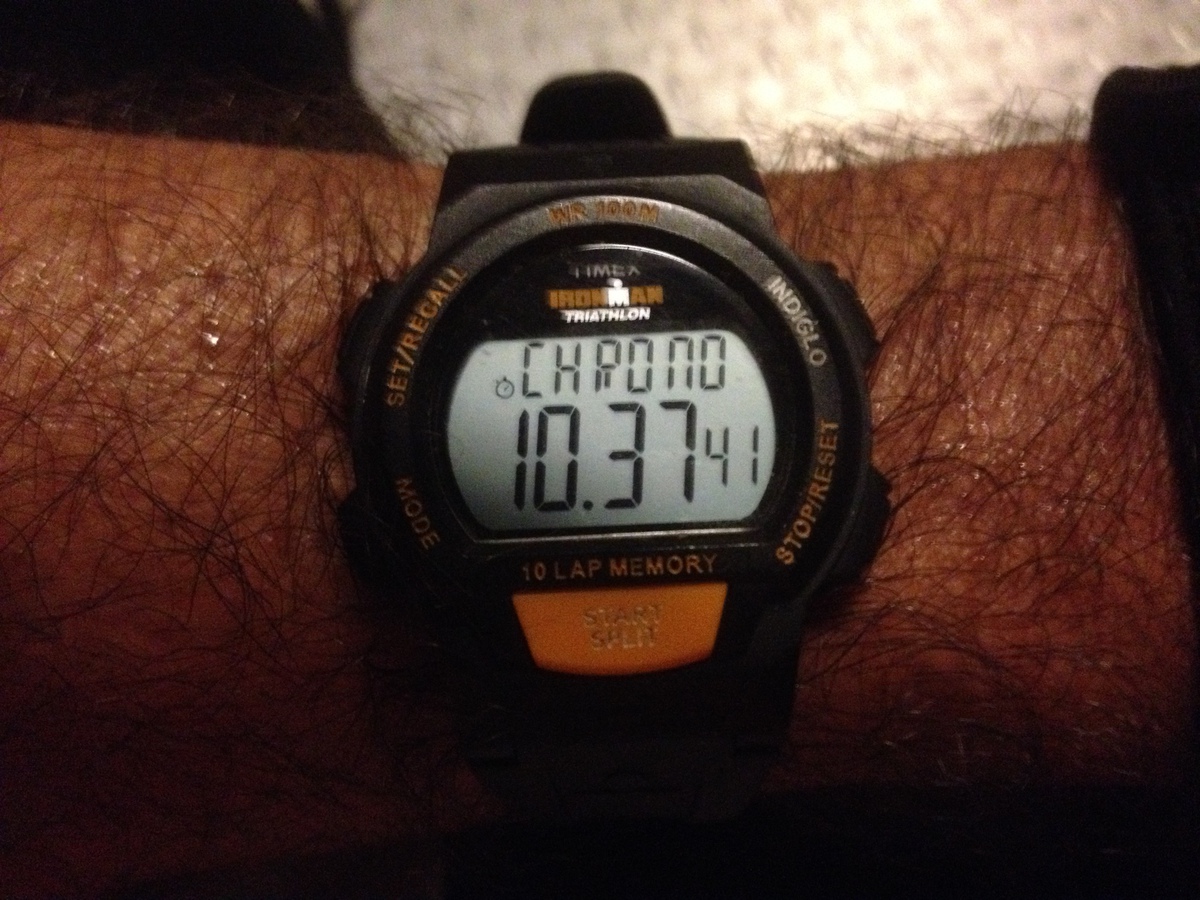
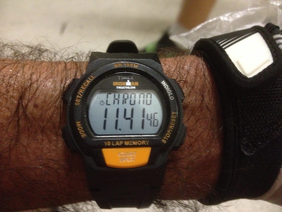
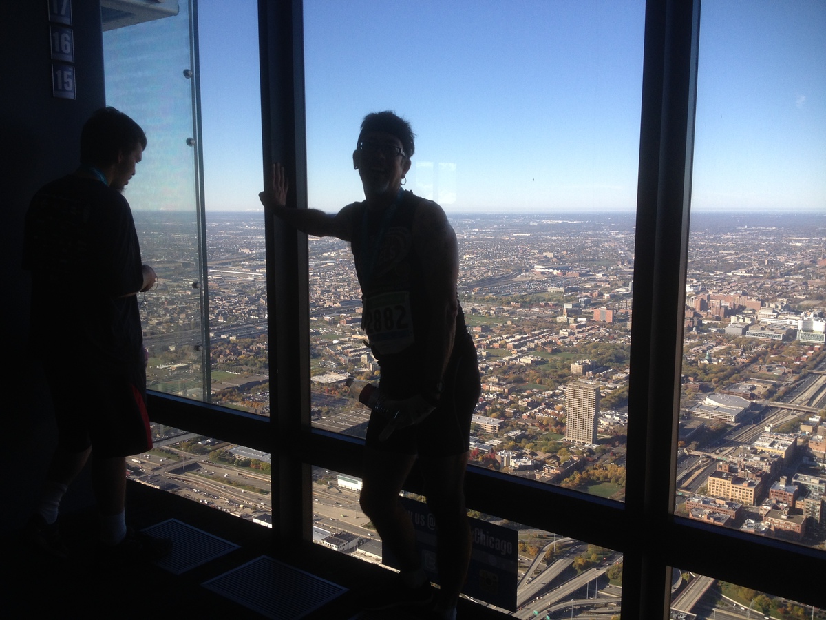
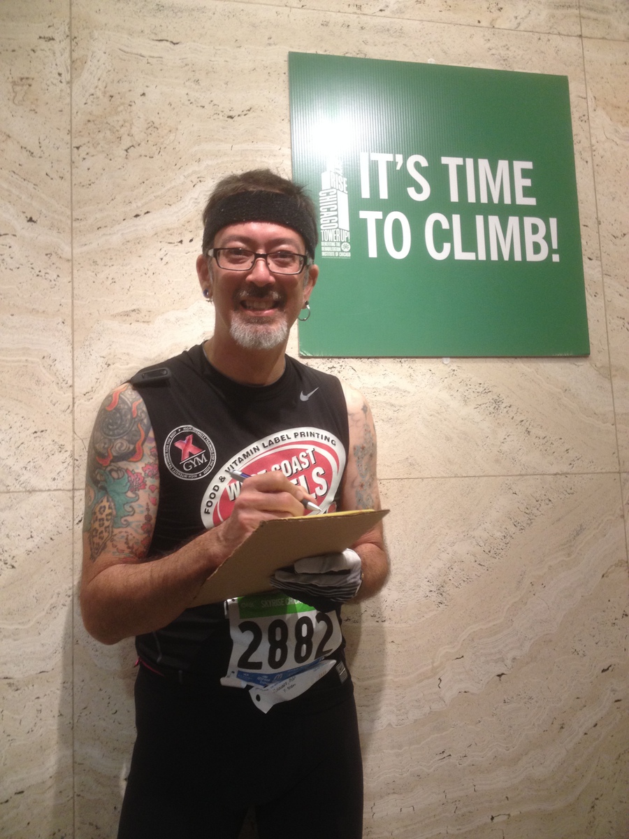
Anyway, I made it up in reasonable style. Felt pretty good at the top. No collapsing like a sack of potatoes this time. I spent a little time looking at the view and socializing, and then I headed back down. At the bottom, I rounded up some paper, a pen, a piece of cardboard and Jane and Steve to climb with me. The three of us got back in line and went up a second time. I took notes along the way so that I can fix up the chart that I made last year from PJ’s GoPro video.
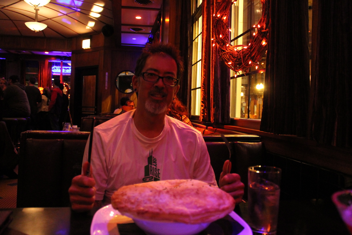
After the second climb, I headed back down and we went back to the hotel to get cleaned up and ready to go to Kathleen’s aunt and uncle’s house.