Today was a special treat. Kathleen and I went to Universal Studios to see the new “Wizarding World of Harry Potter” there. Just for the experience of it, she sprang for the full “VIP Experience” tickets. We got there about 8:45 or so and checked in. Then we went up to the room where they had breakfast for us. While we were there, our tour guide came and found us, and at 9:15, we set out on our tour.
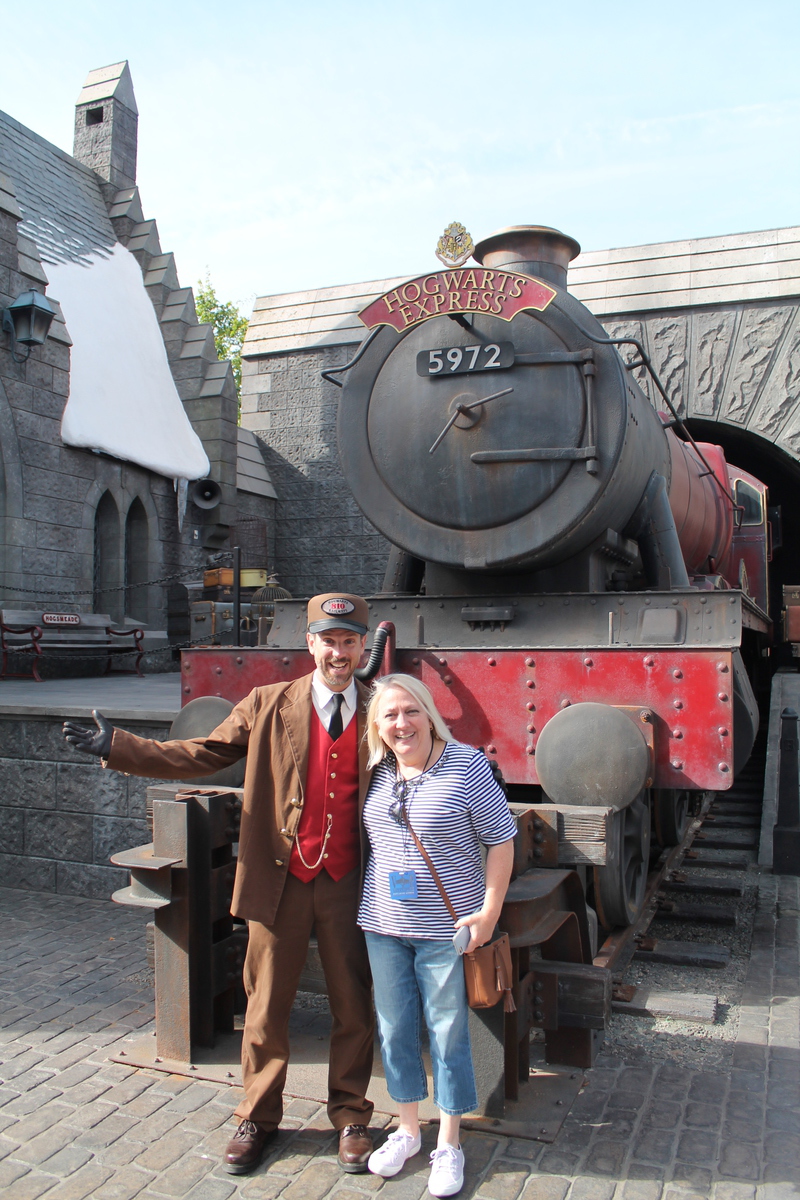
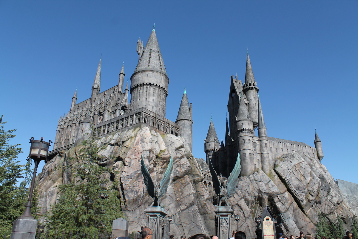
Our first stop was the “Harry Potter” area. As part of the “VIP Experience”, we got to to the front of every line, which was kind of fun. Our first stop was the “Flight of the Hippogriff” ride. This was a small roller coaster, and not terribly exciting. It was about like the “Gadget’s Go Coaster” at Disneyland. But there was nothing wrong with it.
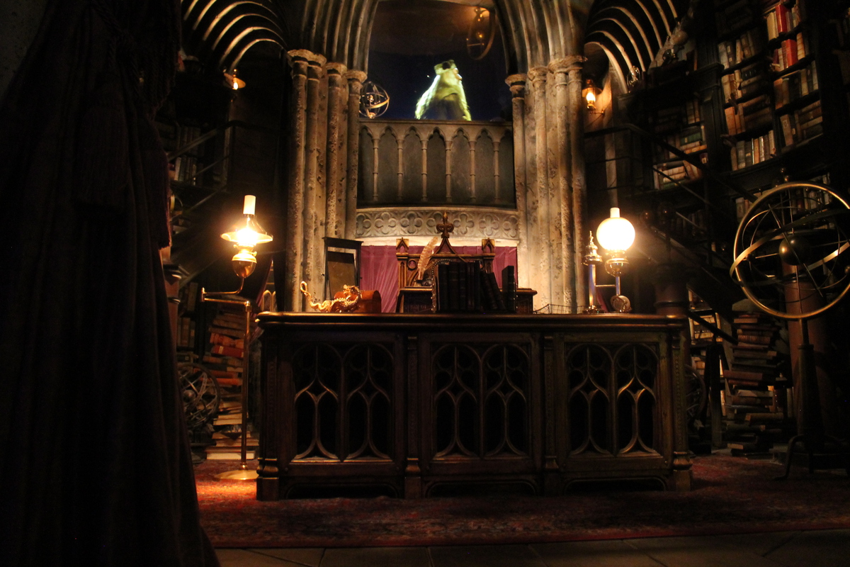
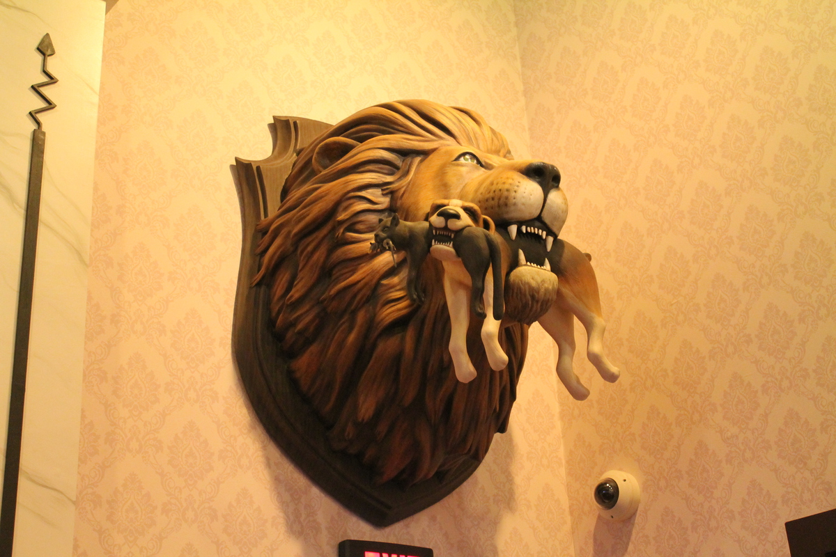
After that, we headed into the main Harry Potter ride. And on the way in to the ride, we got to walk through parts of Hogwart’s, and to see Dumbledore’s office and the Potions classroom along the way. The ride itself kind of defies description. It’s sort of a combination of a real ride and a motion simulator ride. To put it in Disneyland terms, it’s sort of like if you mashed up “The Haunted Mansion” with “Soarin’ Over California” and “Star Tours“. It was very well done.
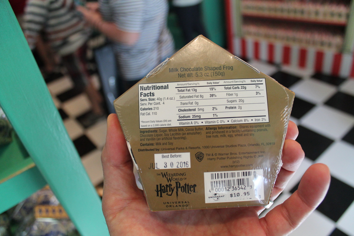
Next was a visit to Ollivander’s to shop for wands. Which was apparently a very popular thing to do. The shop had a long line to get in. But the little show was entertaining. Then we moved on to our next stop, which was the “Despicable Me” ride. The trophy over the door going in to the ride was funny. This was another motion simulator ride. I’m usually not impressed by motion simulators where just the seats move, and the movie screen is fixed. But this one was good. Even with the screen fixed, it was a convincing effect.
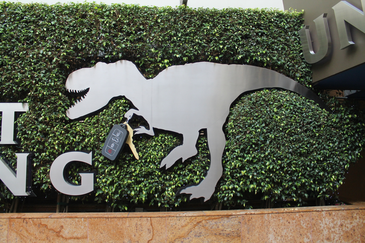
Next, we headed down the hill to the lower lot for the “Jurassic Park”, “Transformers”, and “Revenge of the Mummy” rides. The Mummy ride was the one that Lucinda and I rode eight times on the cold and rainy day we spent there back in 2010. The “Transformers” ride was pretty good, but amazingly loud. I had to make some makeshift earplugs before I could stand it.
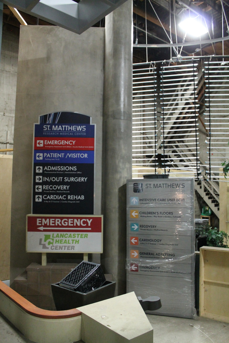
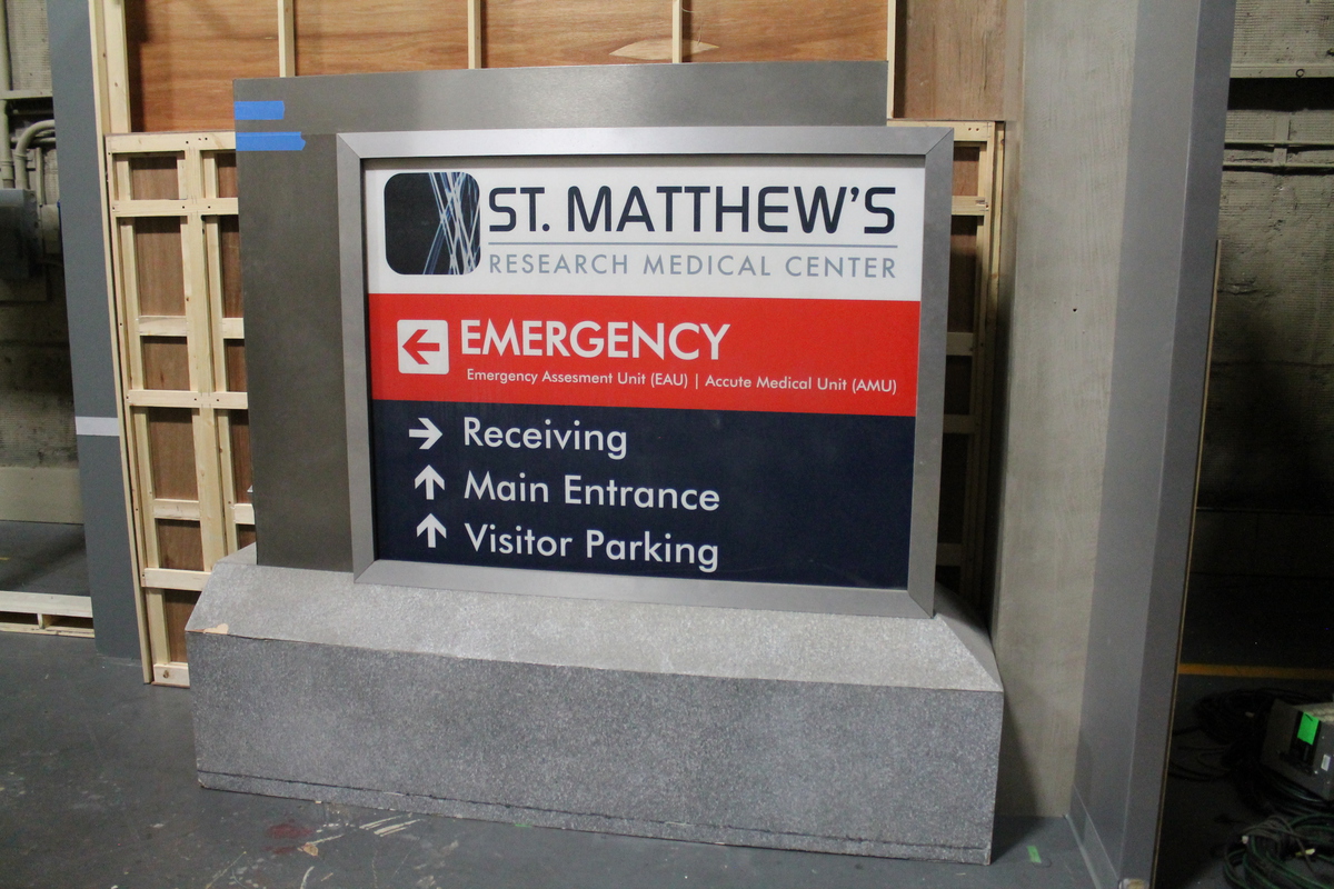
Then it was time for lunch, which was included in the VIP package. And the lunch was actually quite good. Considering that you’d probably have to spend $20 for a burger at a theme park, this lunch probably would have cost upwards of $50 each. It was really quite good. And after that, we headed down for the studio tram tour. But instead of waiting in line for the regular tram ride, they had a small tram for just two of our groups, which was about 24 people total. They took us around to see all the regular tour sites, as well as a few that aren’t on the regular tour. They took us inside one of the sound stages to see the hospital lobby set that they built for the TV show “Heartbeat”. It was pretty big, and had a lot of detail. I asked them if they had to take more time building TV sets now that TV has gone HD, and they said that they did. I’d gone to see some sets from “Star Trek: The Next Generation” back in the ’90s, and they looked pretty rough. But this set looked real enough that it looked good even up close.
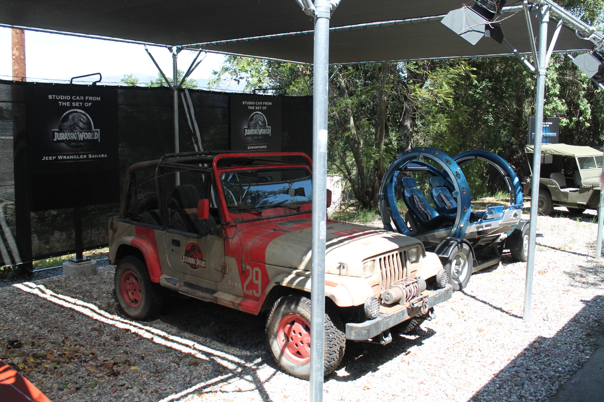
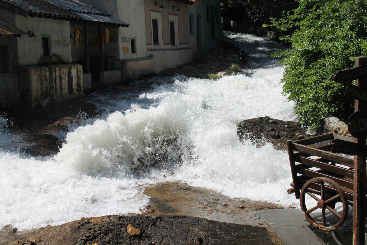
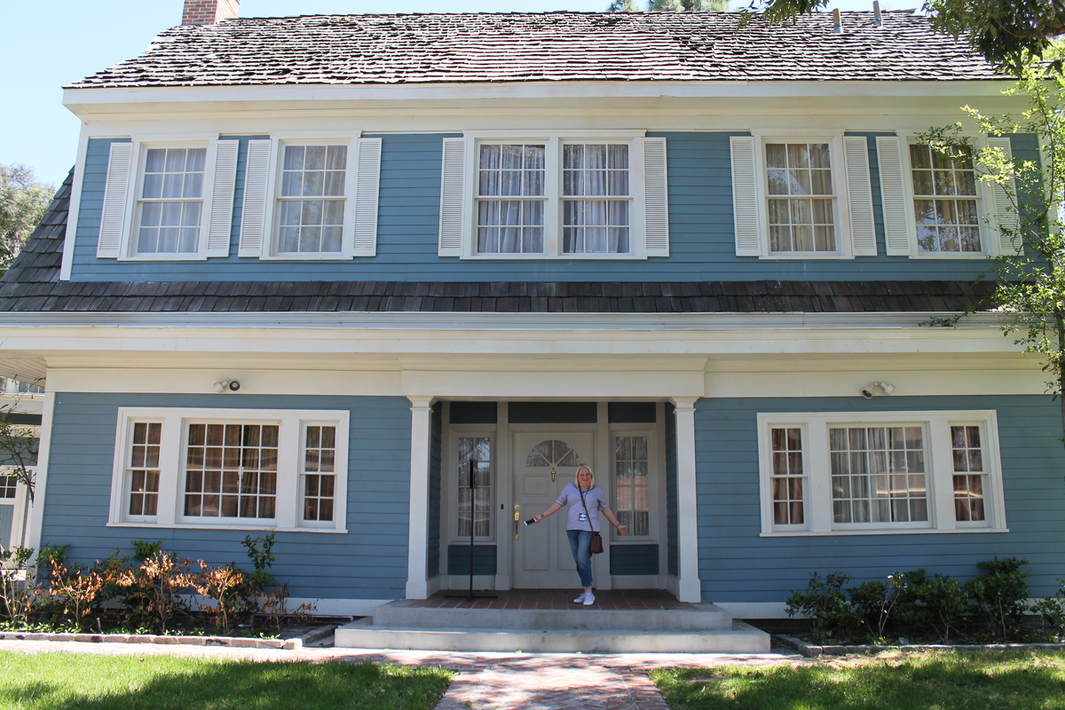
We saw their collection of movie cars, and the flood set. Then they took us to Wisteria Lane, where we go to get out and go inside Bree’s house from “Desperate Housewives”. They said that most of the houses there were just exteriors, although a few had interiors. The one we went in had just a little bit of inside decoration. Just enough that they can open the front door and it looks like there’s an interior. But on a practical level, it had a bathroom, which was useful.
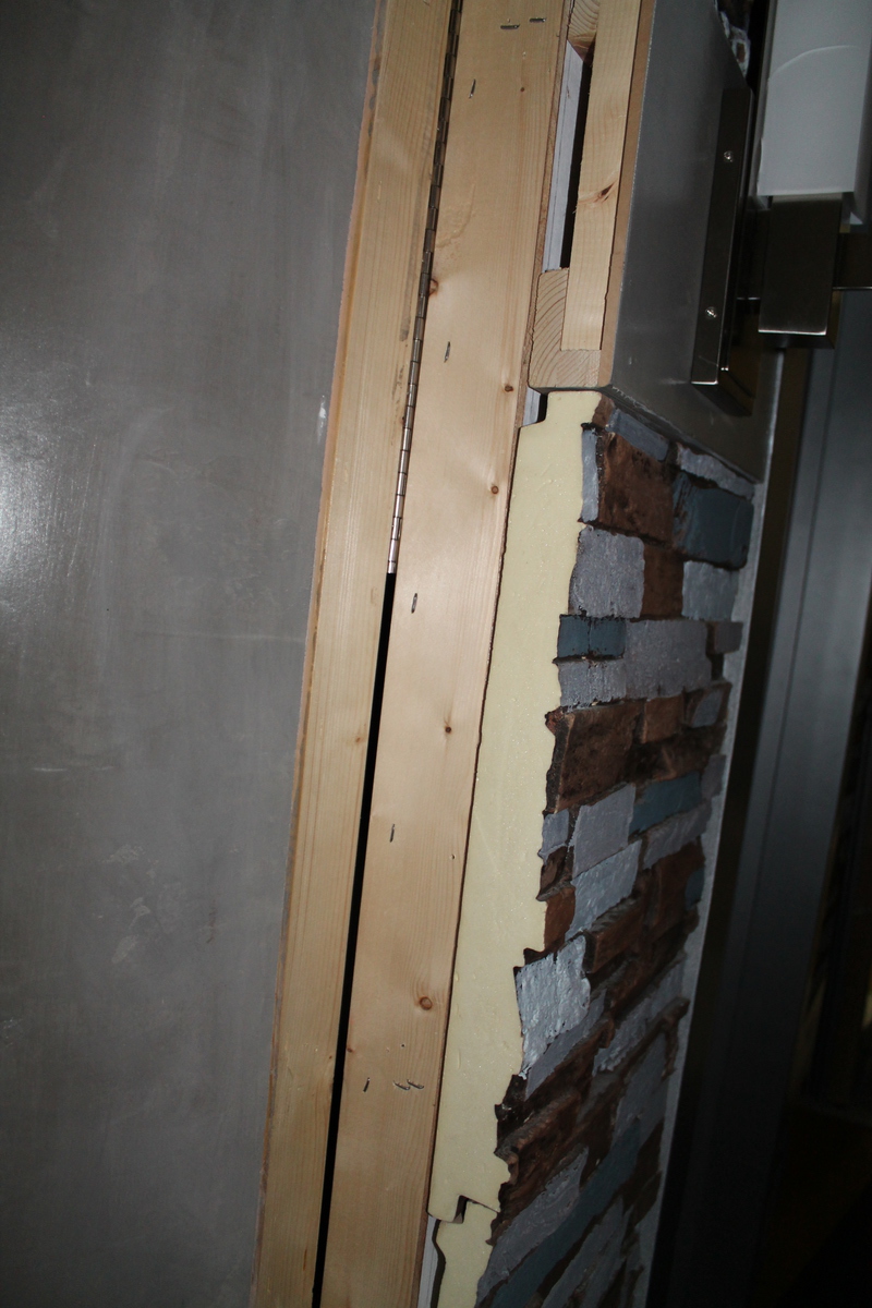
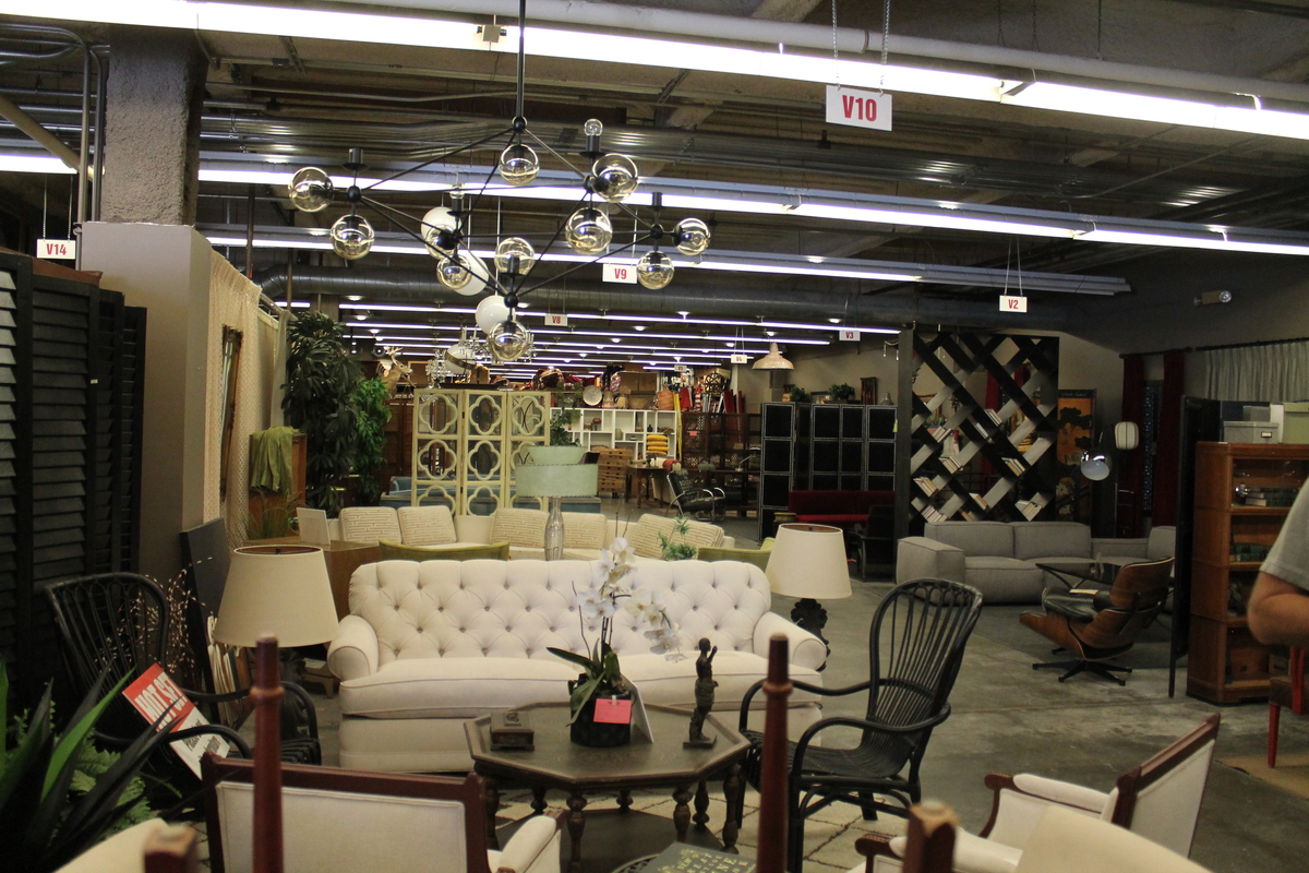
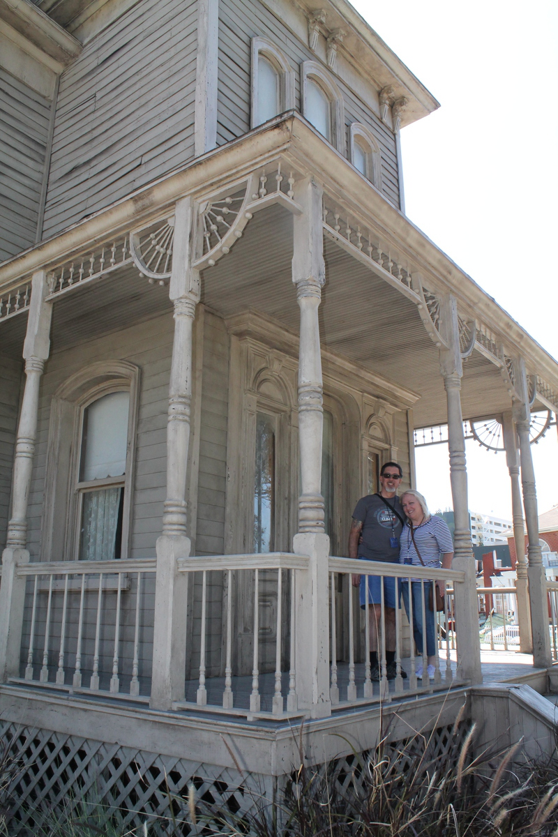
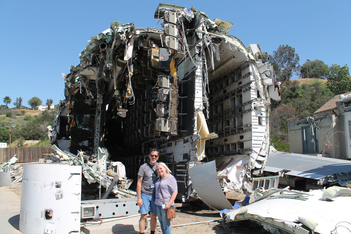
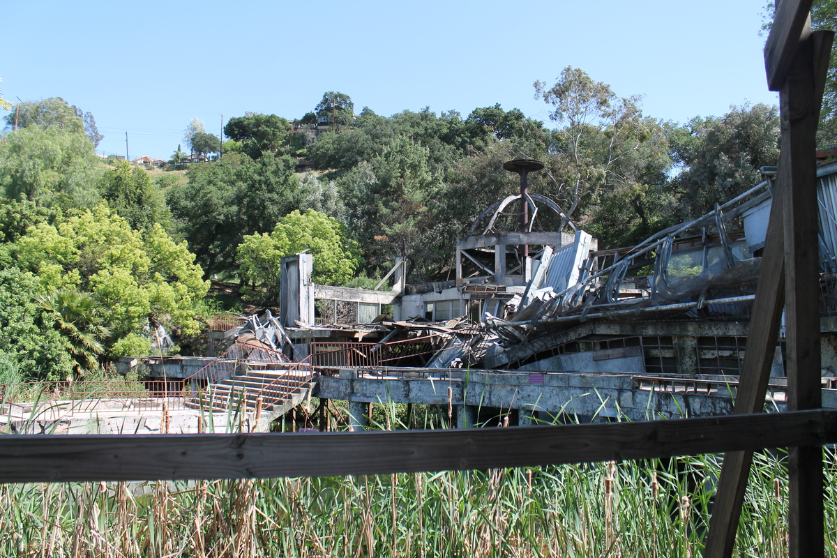
The next stop was the prop warehouse, where we got to see an enormous collection of all manner of props, most of which were used in any number of movies and TV shows. The only one they pointed out specially was the Evil Queen’s throne from “Snow White and the Huntsman”, which everyone wanted to get their picture sitting in. After that, they took us up the hill to the “Psycho” house and the airplane crash set from “War of the Worlds”. We got to get out there for pictures with the house, as well as the crashed airplane. Getting up close, it was obvious that the airplane was not a prop made of styrofoam and plastic. Looking into the tail section, I could see the aft pressure bulkhead, so it looked like they’d made this set out of a real airplane. They told us it was an actual junked 747 that they bought and had hauled there, and then cut up into pieces to make the crash set. And while we were looking around there, I saw a small pond and building behind the plane crash set that they said was the “Site B” raptor breeding facility from “Jurassic Park”.
After the tour, we all headed back up with our group and saw the special effects show. At that point, it was about 4:30, and we were turned loose to go do whatever we wanted for the rest of the day. Kathleen and I went back to Hogwart’s and rode the Harry Potter ride again, and I rode the Hippogriff roller coaster a couple more times. Then we did the Simpsons ride, and the Mummy one more time. Being able to just walk right up to the ride without waiting in line makes the whole theme park experience much more fun.
Overall, it was a fun day.