Metro Rail Tour and Ciclavia
 |
 |
 |
 |
 |
 |
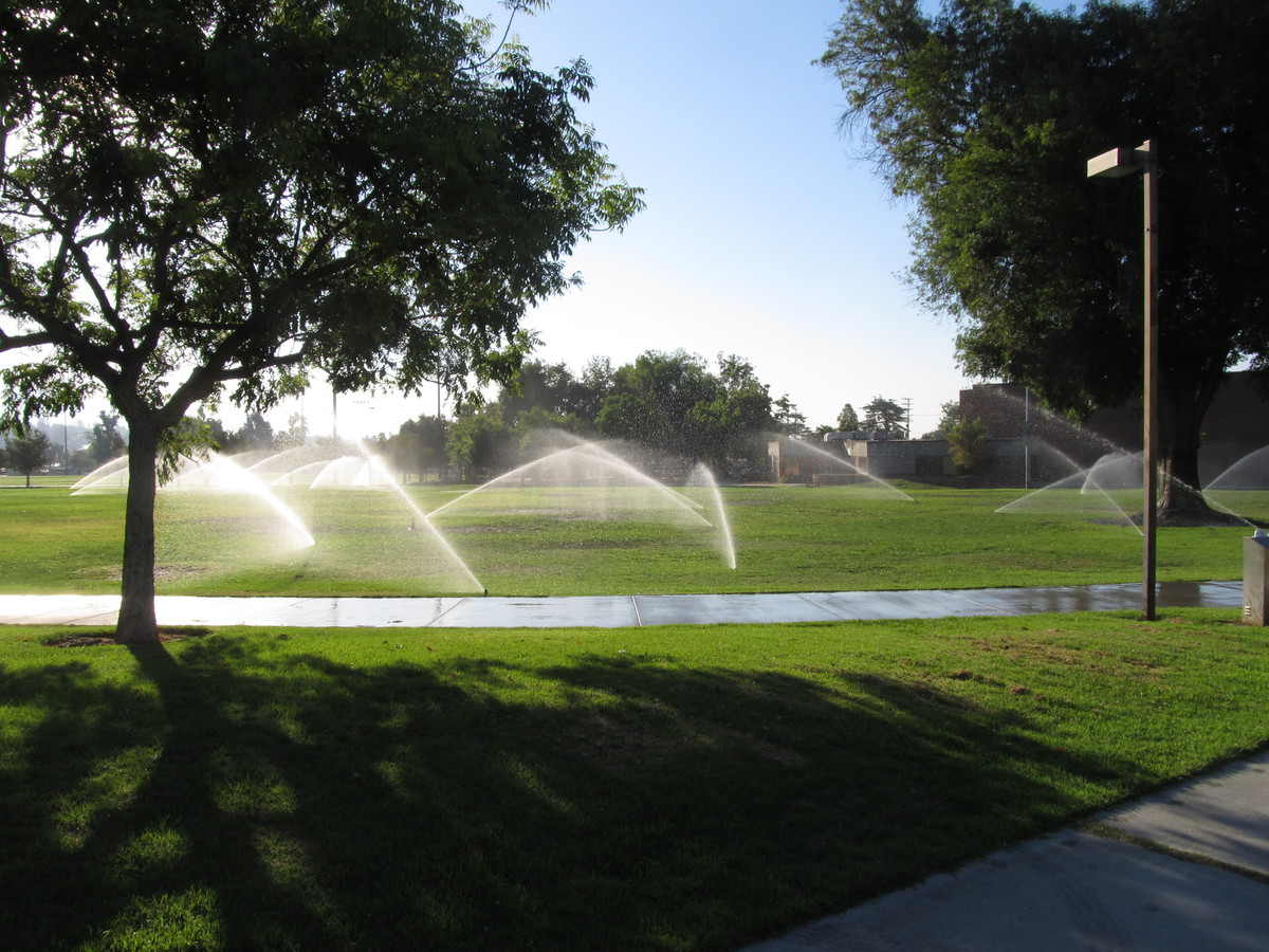
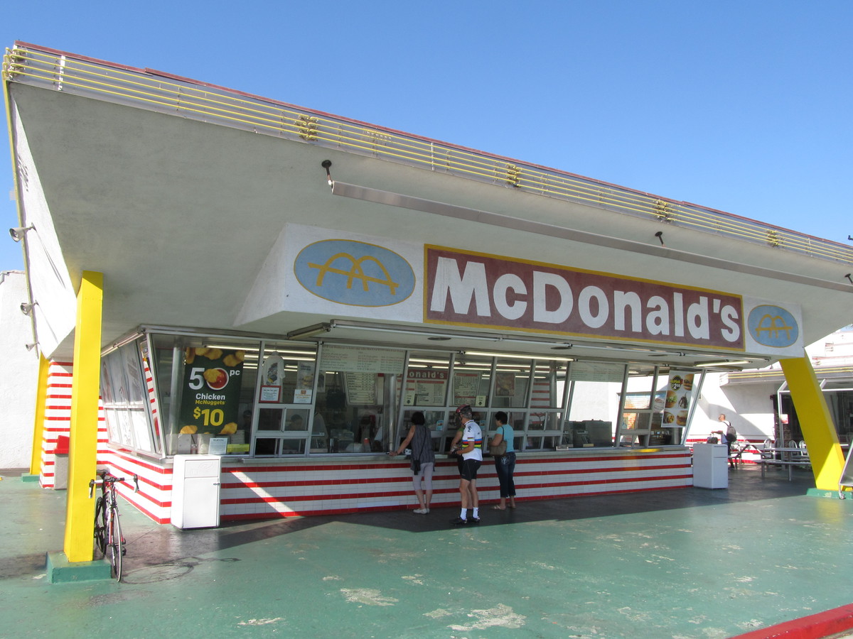
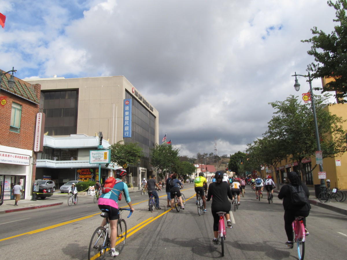
The weather forecast for today called for a slight chance of rain, so that meant it was time to bring out the classic Metro Rail Tour. This is about 40 miles around L.A., but with the route never being more than two miles or so from the nearest Metro Rail station. We’ve done this before, and having the quick bailout option has come in handy in the past. Also, today was the Ciclavia downtown event, so we figured we could ride at least part of that route.
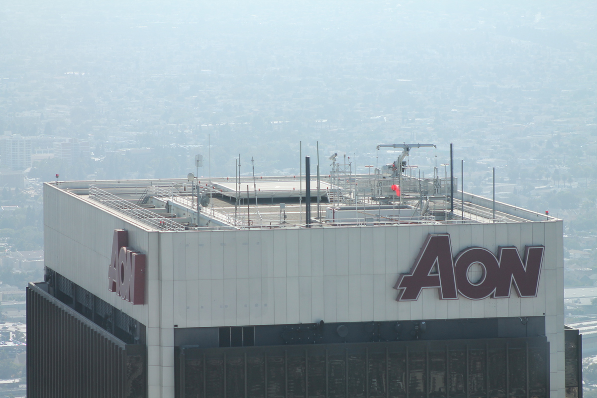
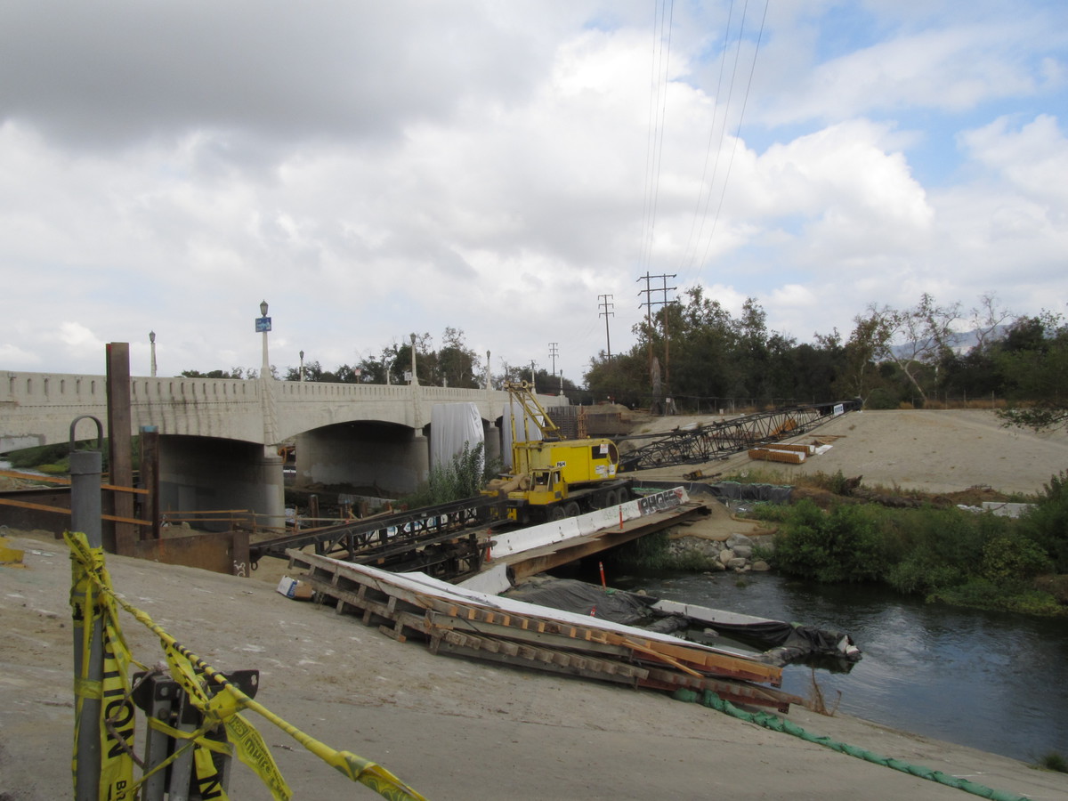
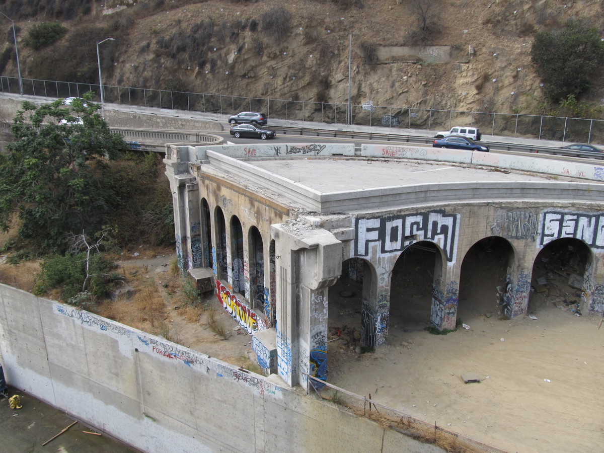
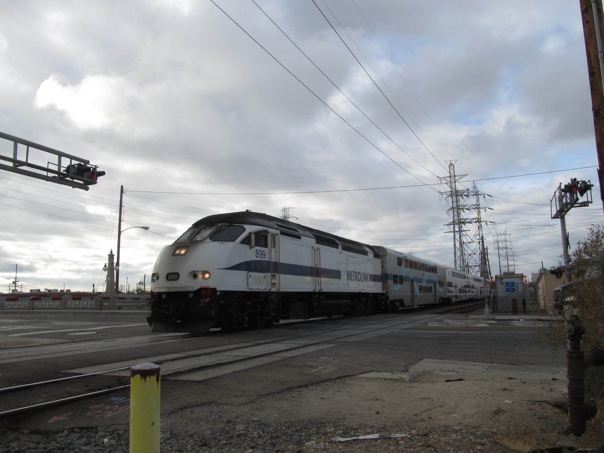
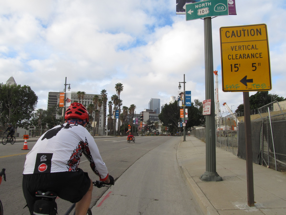
It feels like fall now, and we headed into downtown Los Angeles by our usual route. There were a few times when it started sort of just barely misting rain, but it wasn’t bad, and it stopped quickly. We made good time, and we got to the bridge across the river just in time to see the 8:50-or-so Metrolink train go by. Then we went to Chinatown and picked up the Ciclavia route. It had just opened, so it wasn’t crowded yet, and we rode the route to 7th and Flower, where we turned south.
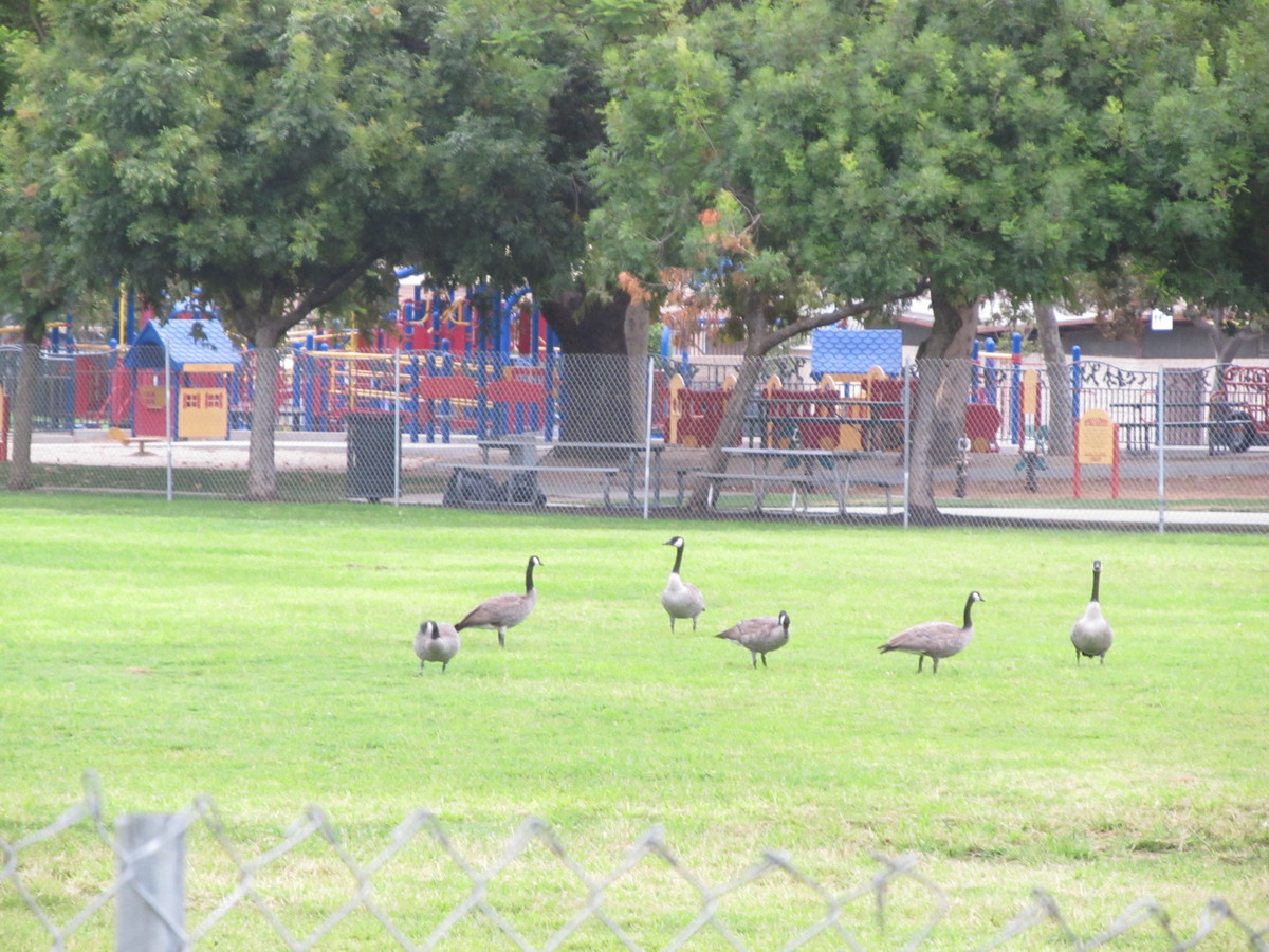
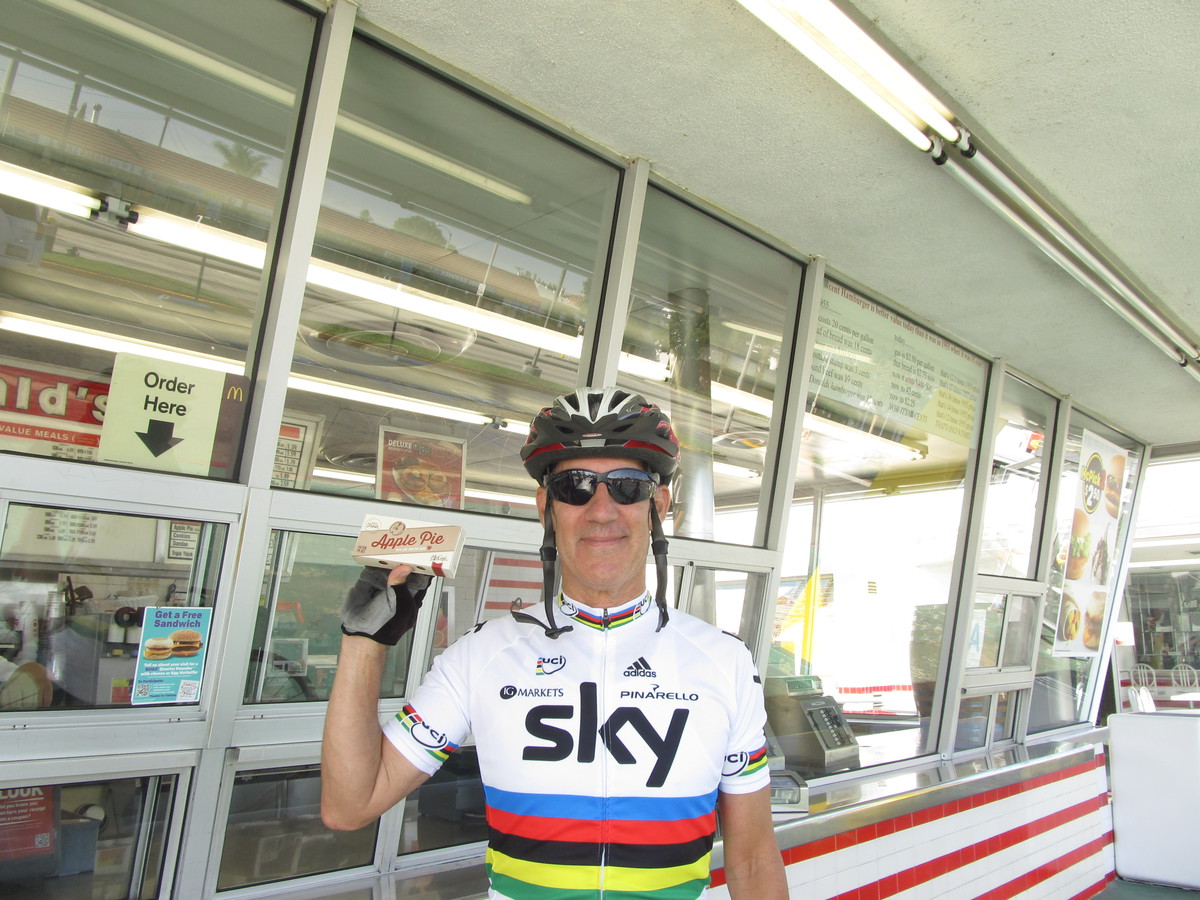
We made the usual loop through Koreatown and Hancock Park, ending up at Noah’s Bagels in Larchmont Village. After the snack stop, we rode west, picking up the Ciclavia route again on 7th St near MacArthur Park.
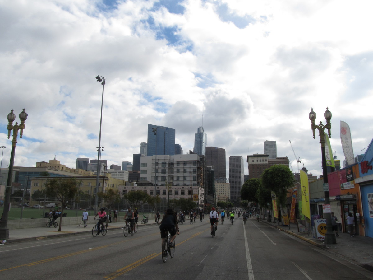
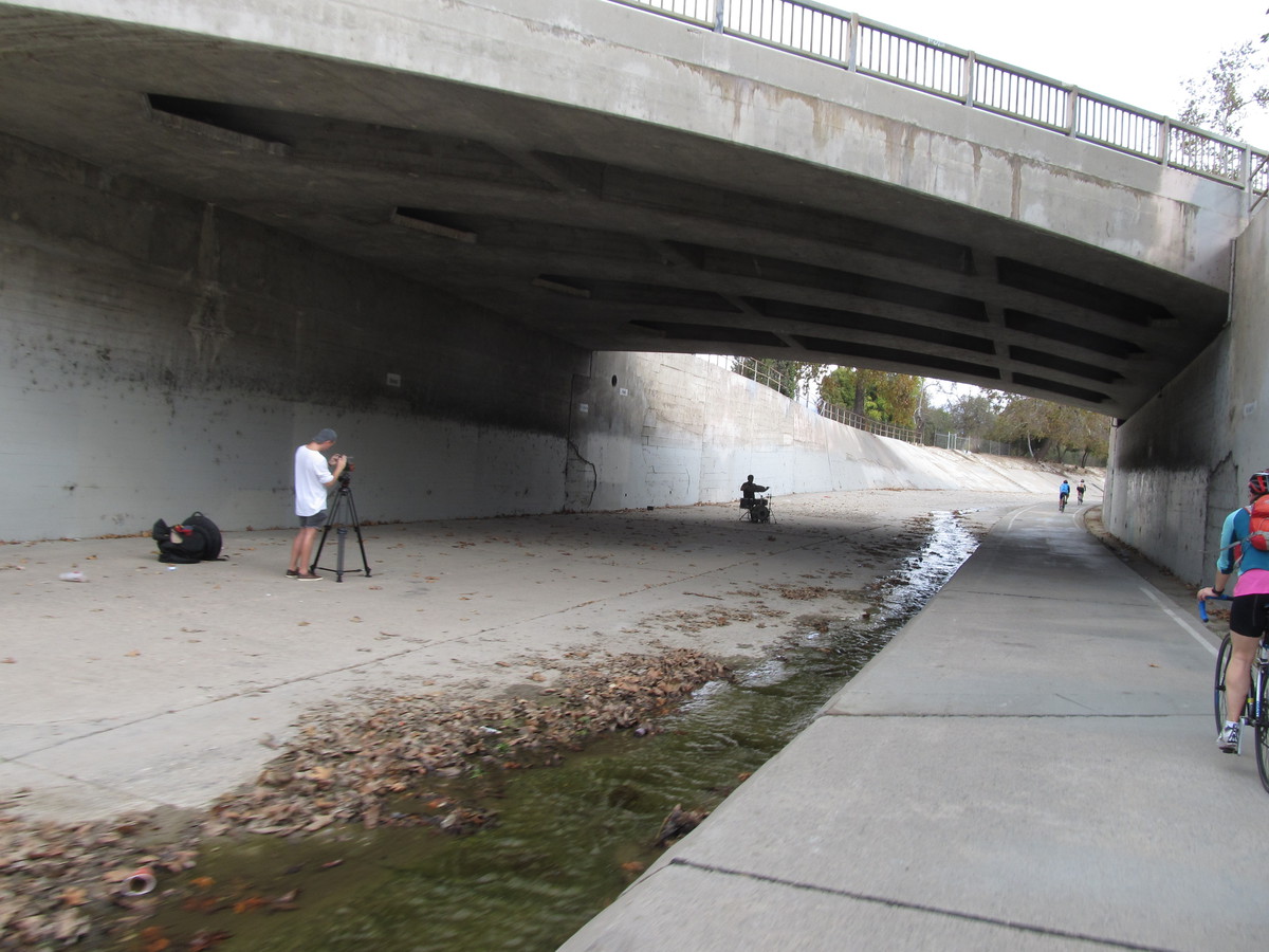
Coming back into downtown, it started getting a bit crowded, so we turned off and rode up Main St instead of the Ciclavia route on Broadway. We took that to Chinatown, were we got back on Broadway to cross the river. Then we headed home by way of the Arroyo Seco bike trail
43 miles.