The TV Hall of Fame
 |
 |
 |
 |
 |
 |
 |
 |
 |
 |
 |
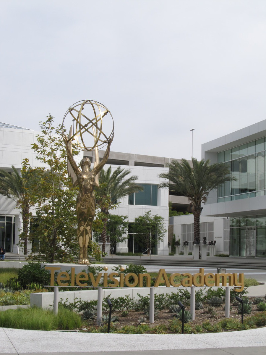
I’m subscribed to the newsletter from Roadside America, which is a compendium of odd things to see all across the country. And this week, I found out about the TV Hall of Fame. They have a giant Emmy statue, surrounded by an outdoor garden with busts of famous TV people. And it’s all behind the TV Academy building at 5220 Lankershim in North Hollywood. We’ve been out that way lots of times, and I never knew it was there.
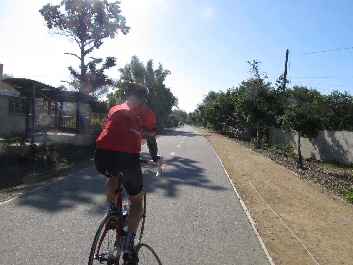
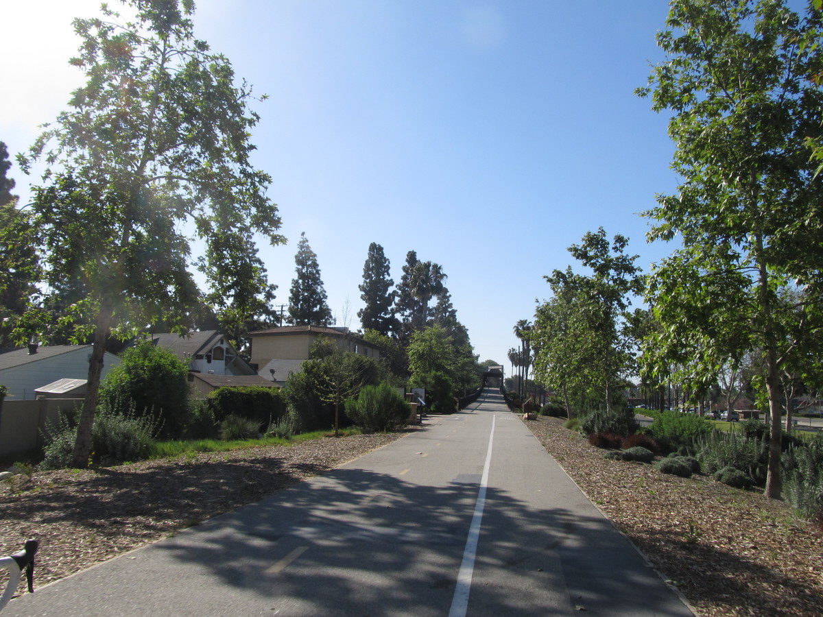
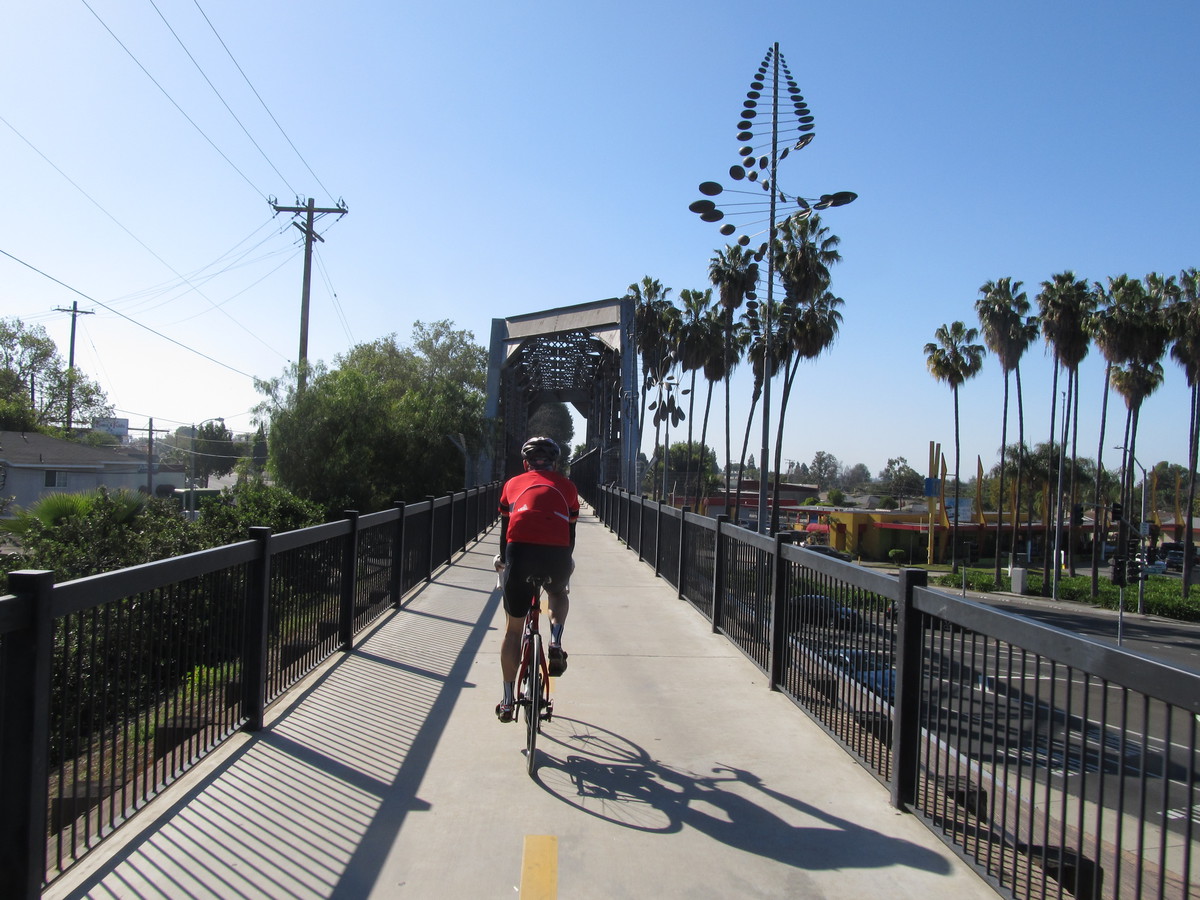
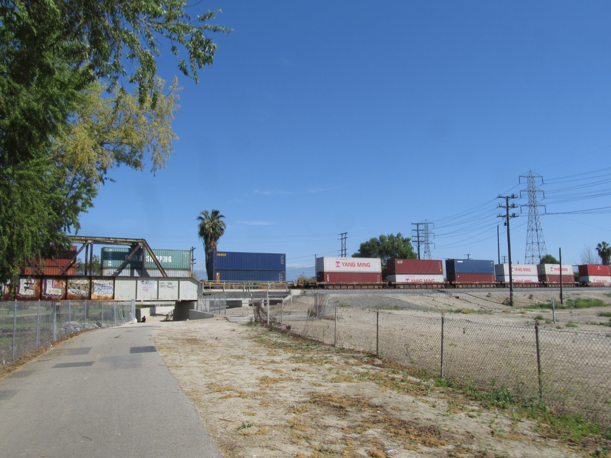
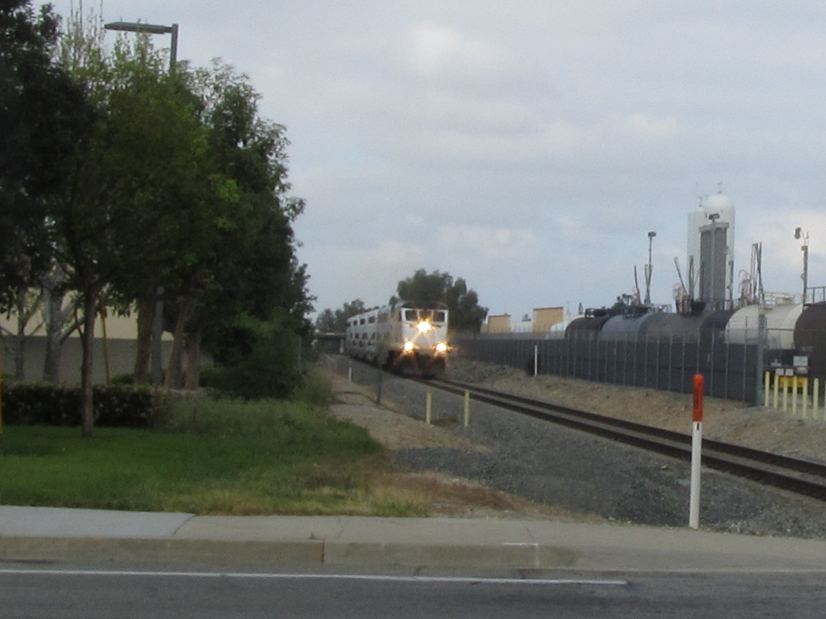
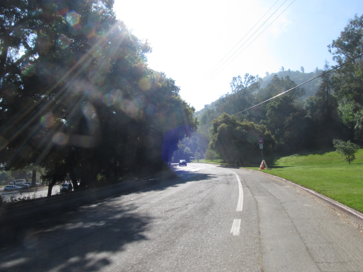
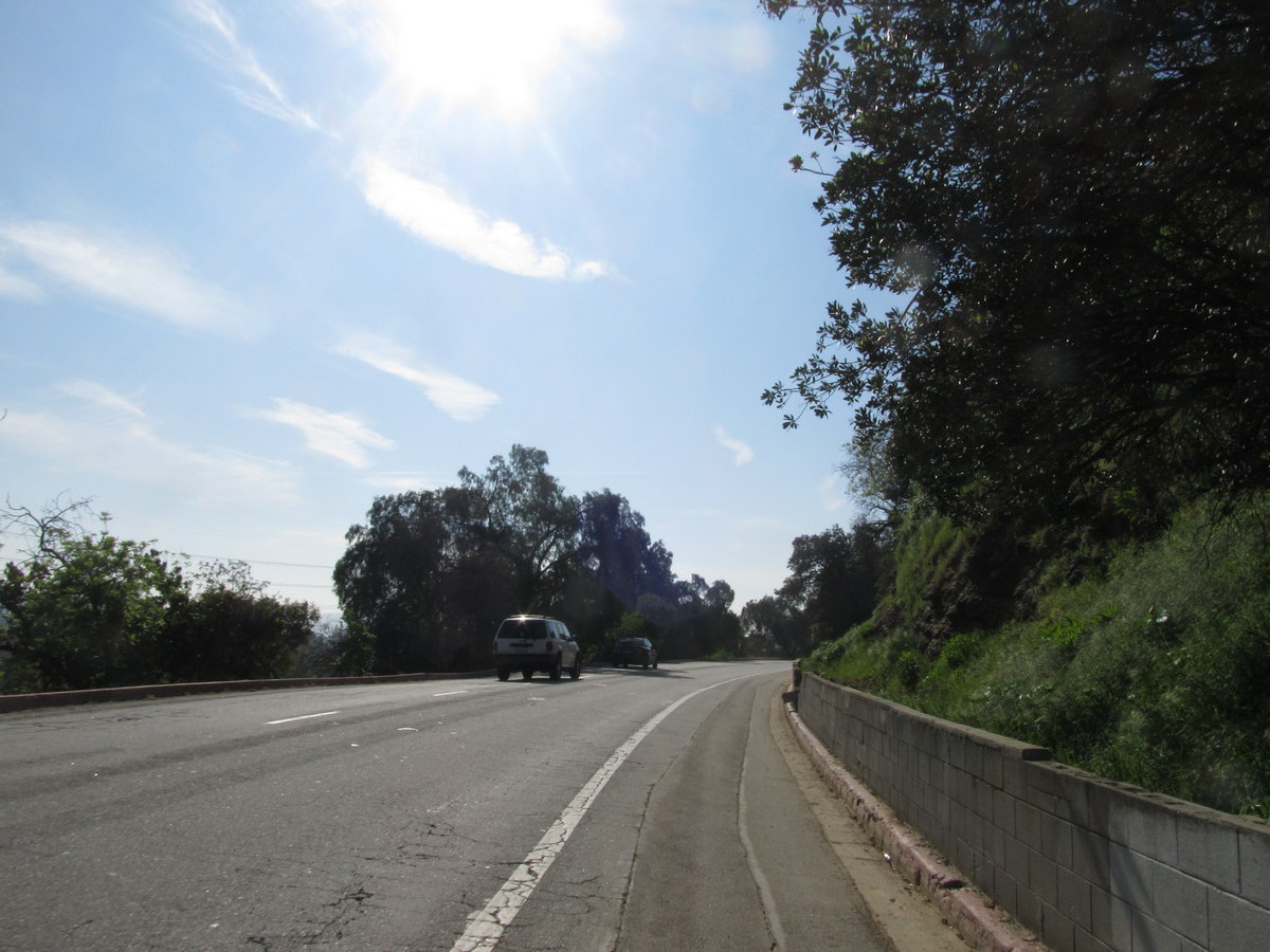
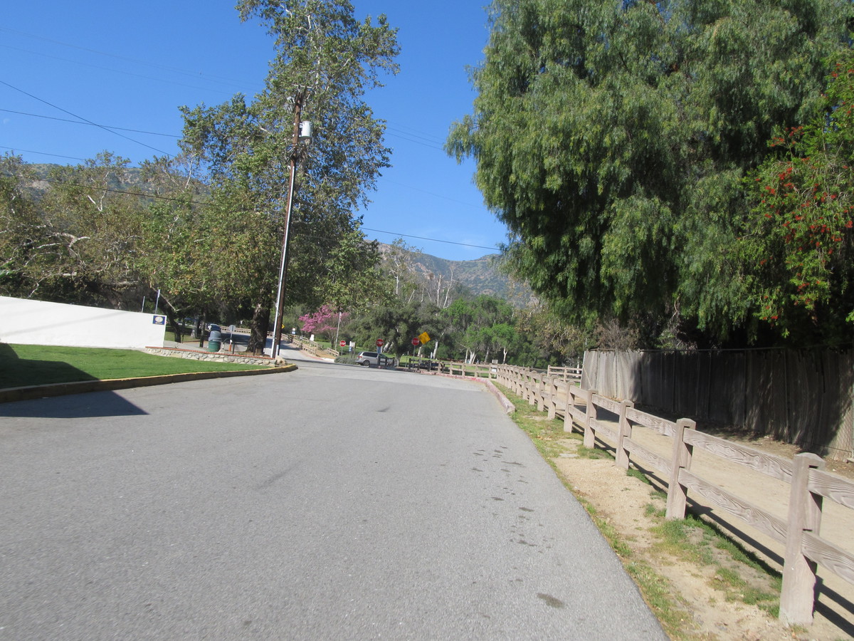
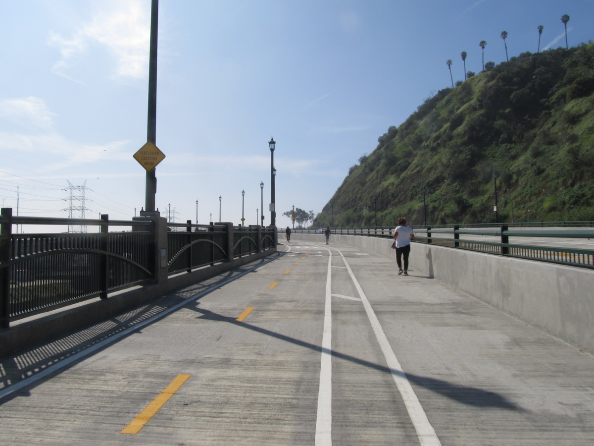
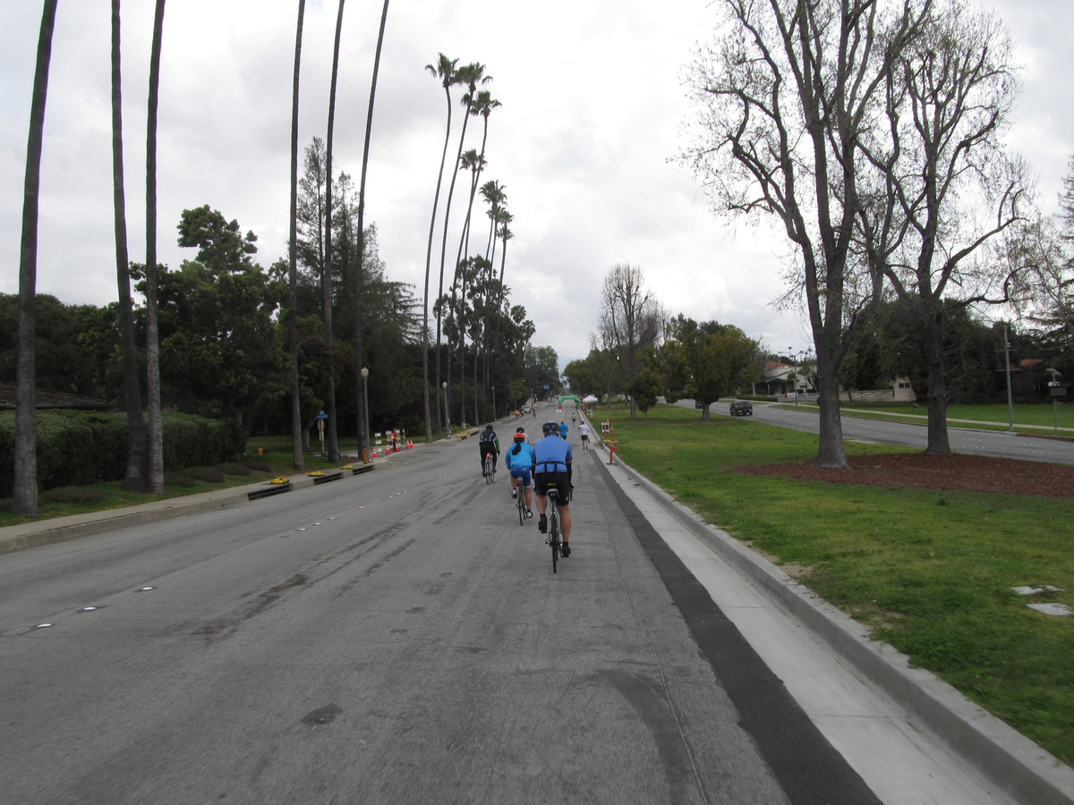
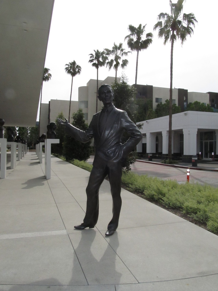
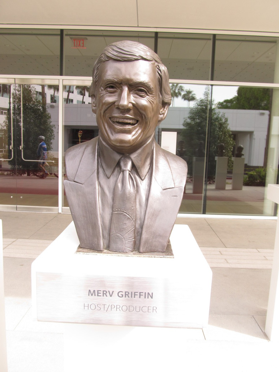
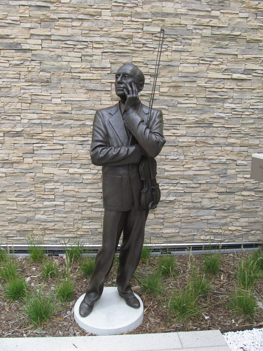
We rode out by the familiar route across South Pasadena, and then down Figueroa to the L.A. River. Then up the bike path, past the Zoo, and then out Riverside Dr across Toluca Lake. We made a somewhat roundabout route to end up in North Hollywood, where we found the TV Academy building. And just as advertised, there was a giant Emmy statue in the middle of the courtyard. We took a few minutes to wander around and look at the statues of famous TV people. The had a full statue of Johnny Carson right out front. Merv Griffin was nearby, and I always remember when we saw his headstone at the Westwood cemetery.
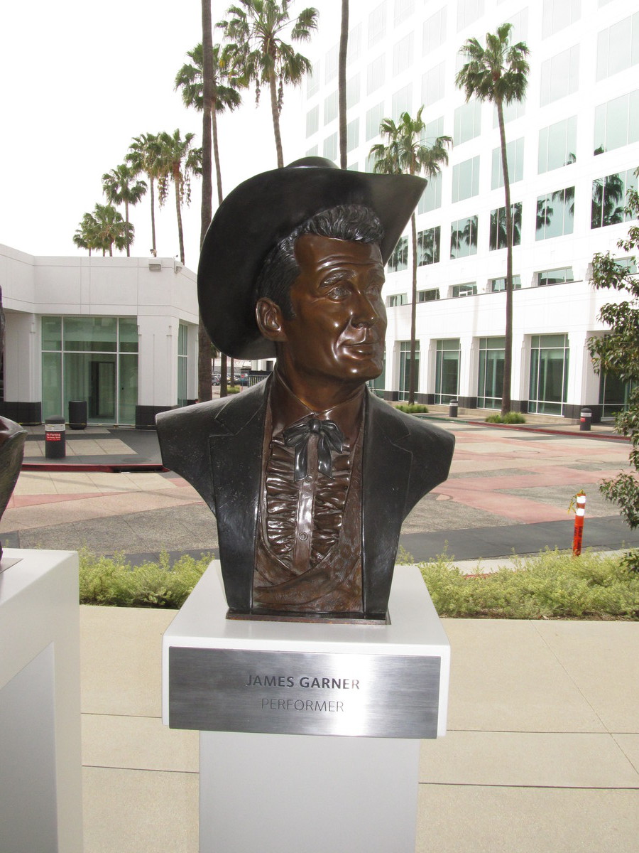
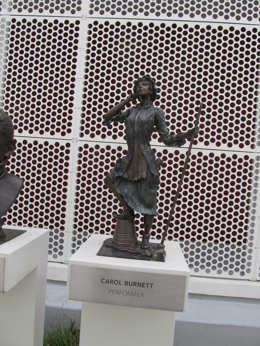
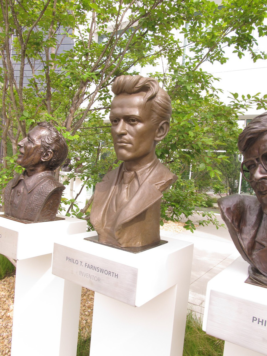
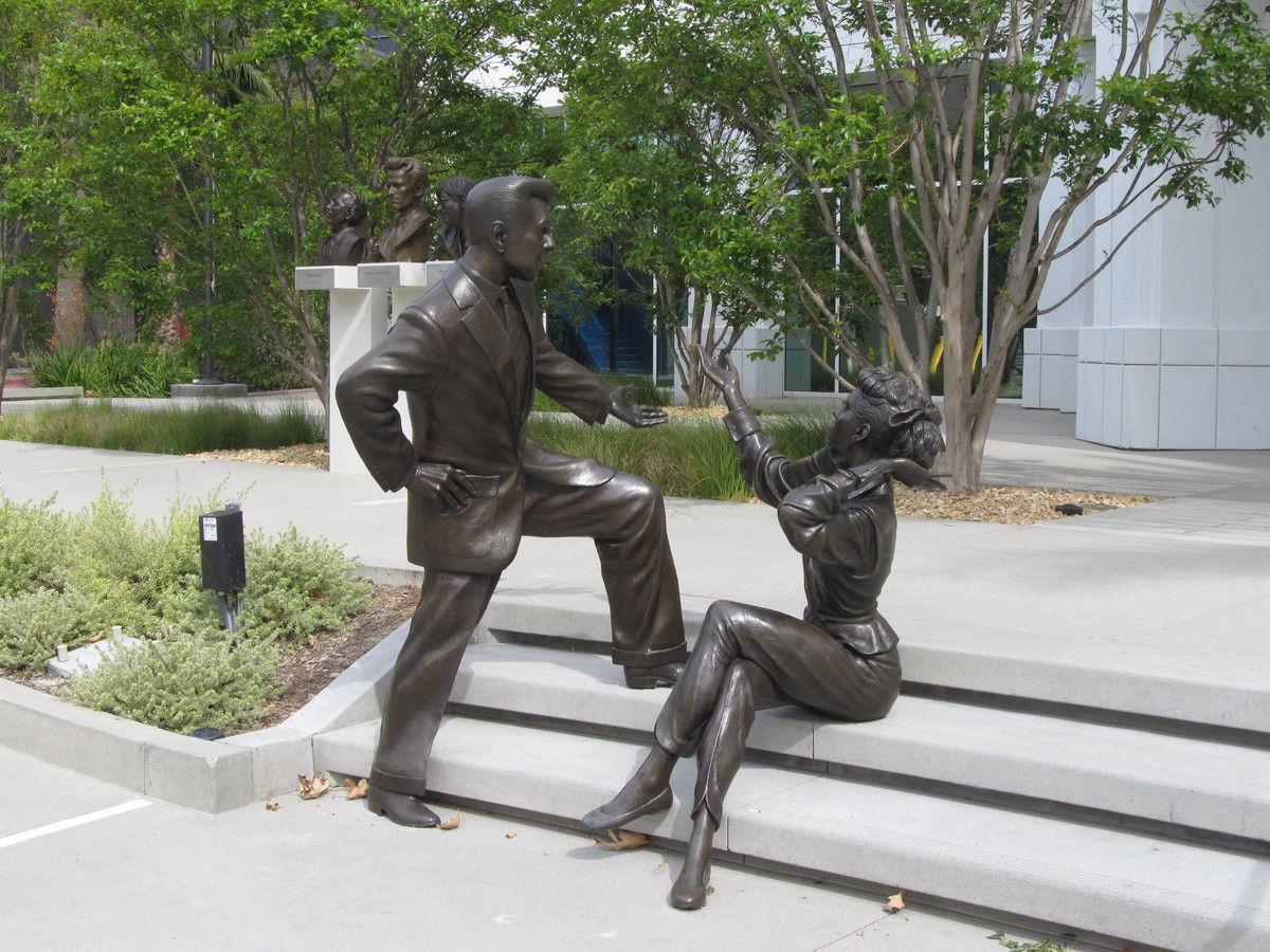
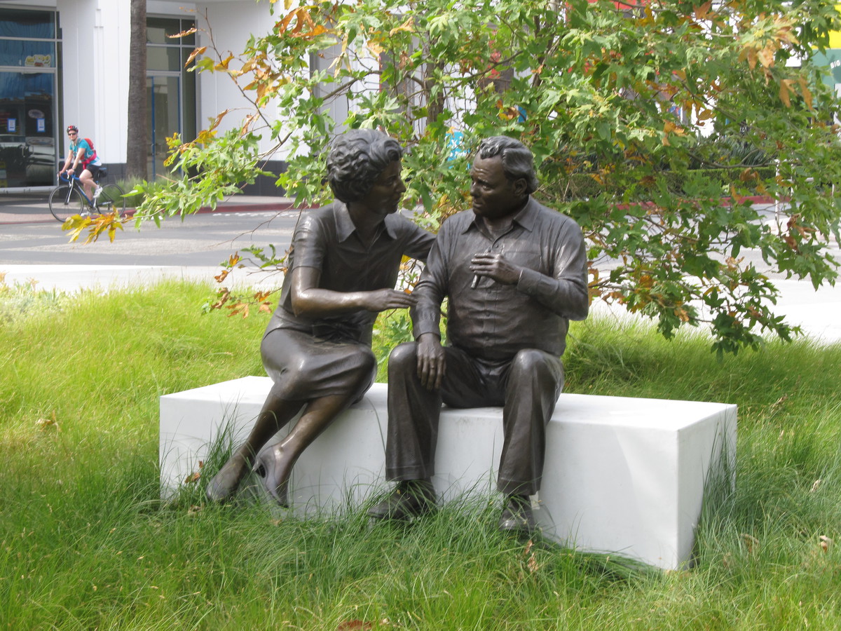
Other full-sized statues included Carol Burnett, Jack Benny, Lucy and Desi, and Carroll O’Connor and Jean Stapleton as Archie and Edith Bunker. We once went to see Carol Burnett’s star on the Hollywood Walk of Fame. I also thought it was appropriate that they had a bust of Philo Farnsworth. The TV Hall of Fame wouldn’t be complete without the inventor of television.
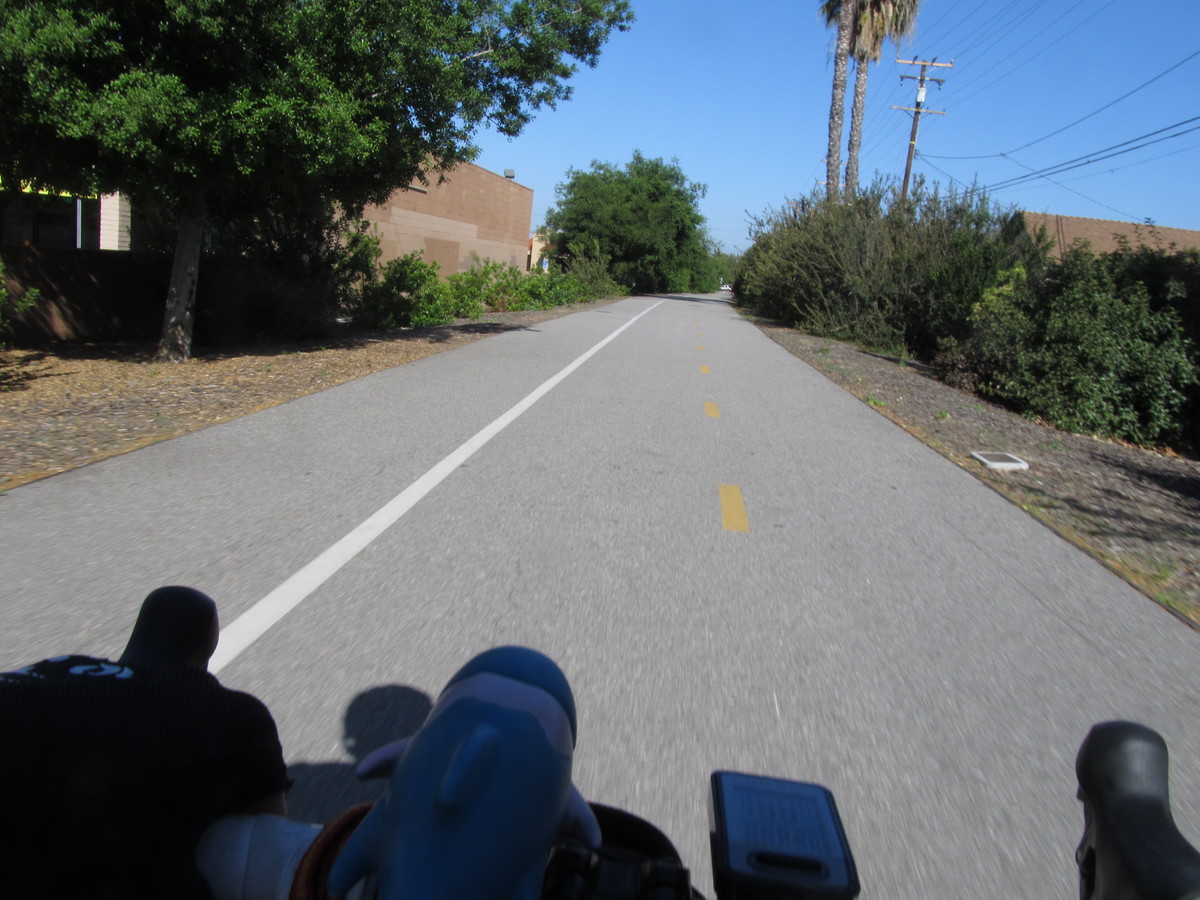
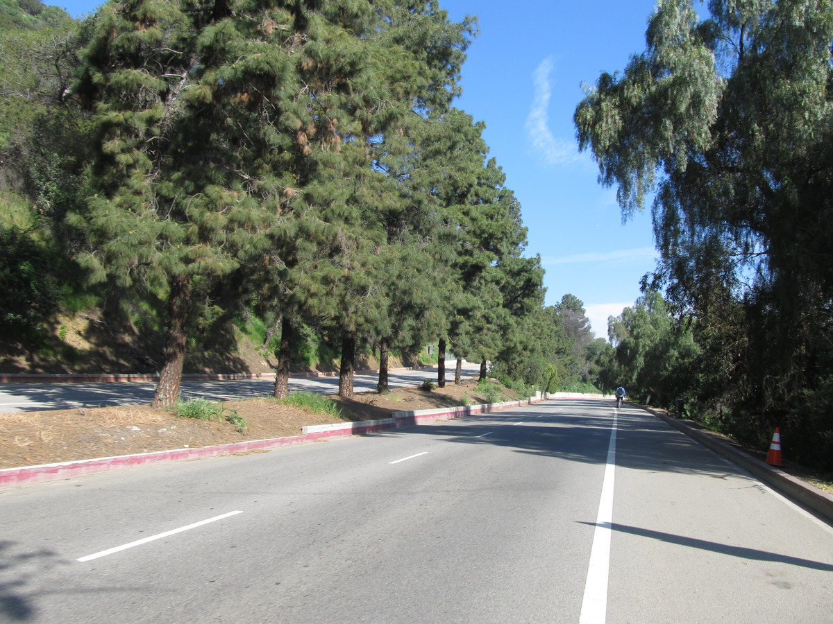
After that, we went around the corner to Panera in North Hollywood. We had some snacks before heading back home by way of the Chandler Bikeway across Burbank. Then up and over the Linda Vista hill to the Rose Bowl. By then, it had turned into a pretty nice day.
47 miles.