A couple weeks ago, my friend Gordon called me up and said, “They’re having an Open House at the Trinity Site on April 2nd. Want to go?” Gordon and I met sharing a cubicle at McDonnell Douglas back in 1982, where our department was all about nuclear weapons effects. And back then, we talked about wanting to someday go visit the Trinity Site. And it only took us 40 years to get around to it. But here we are.
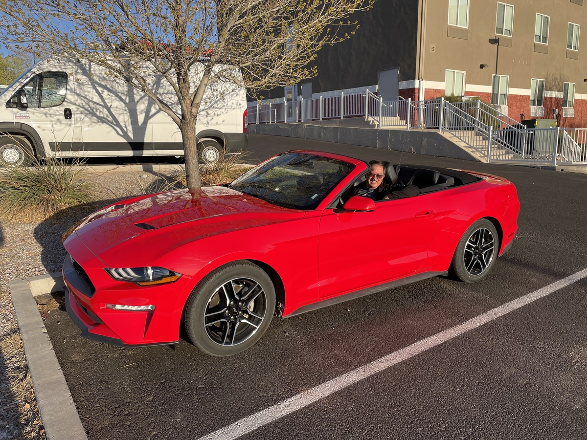
We made arrangements to fly in from Los Angeles and New York, and meet in Albuquerque. I’ve been thinking about how much fun it was back in the ’80s when we had convertibles, so I arranged to rent us one for this trip.
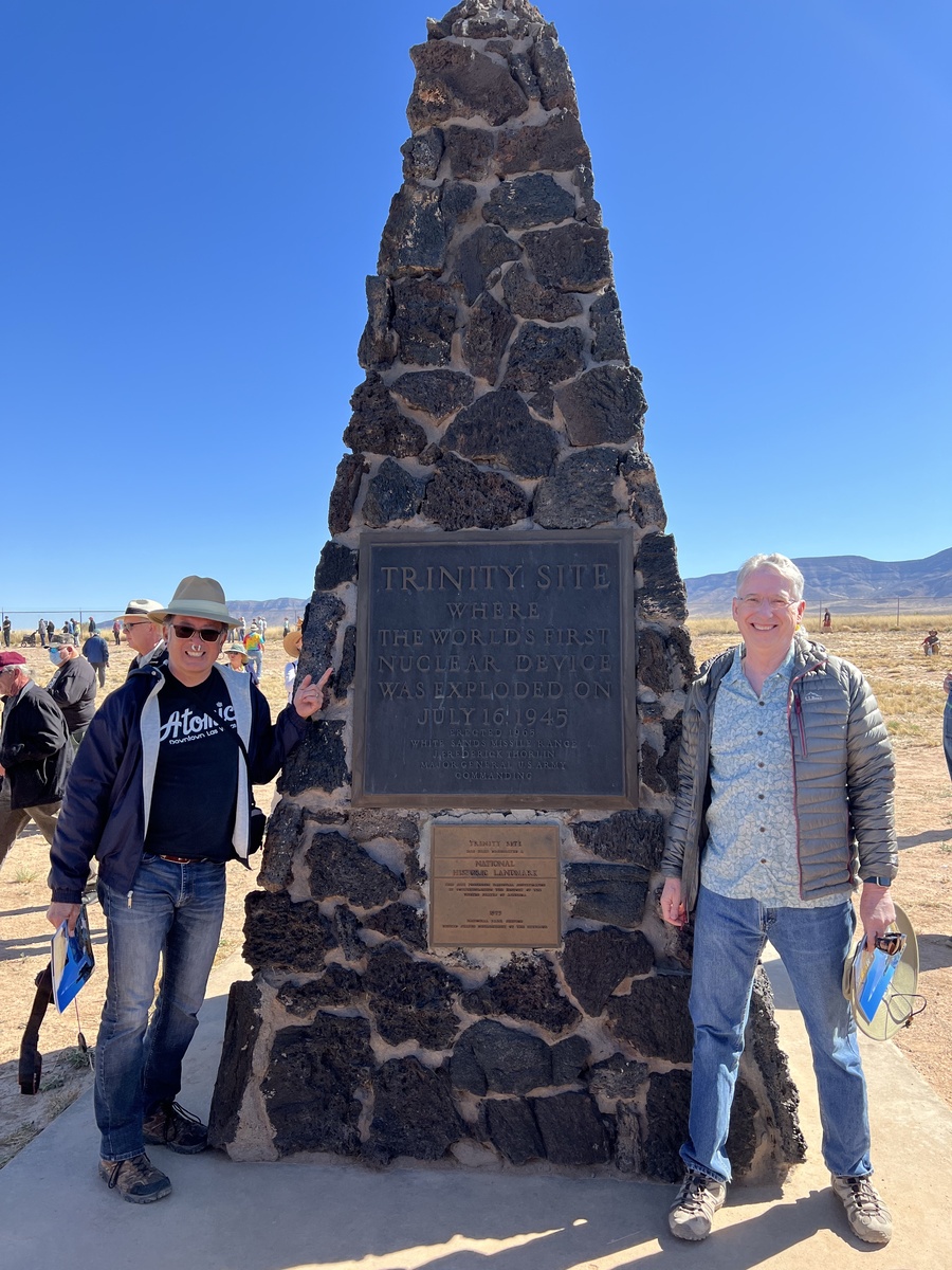
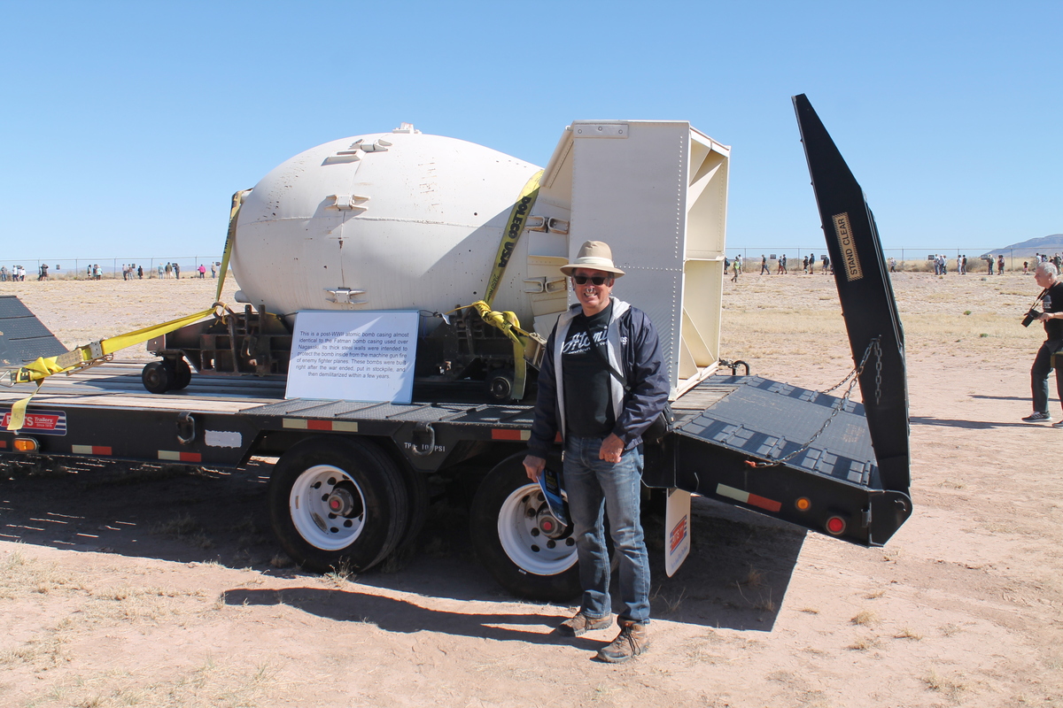
On Saturday morning, we headed south on I-25 for something like 80 miles or so from Albuquerque to get to the site. Apparently this is a Big Thing, since there were many hundreds of people there, all for the same reason we were. There were tables set up at the edge of the parking lot with information about the Trinity test, and people to answer questions. There was a table with some samples of trinitite, along with Geiger Counters to show us that it was in fact radioactive. There was also a big trailer with a full-scale mockup of the Fat Man bomb, which was the bomb dropped on Nagasaki, as well as the same design as the ‘gadget’ that was tested at Trinity. And of course, there was the monument built at the spot that was under the tower where they assembled and detonated the ‘gadget’. Everyone wanted to get a picture with the monument, and we were no exception.
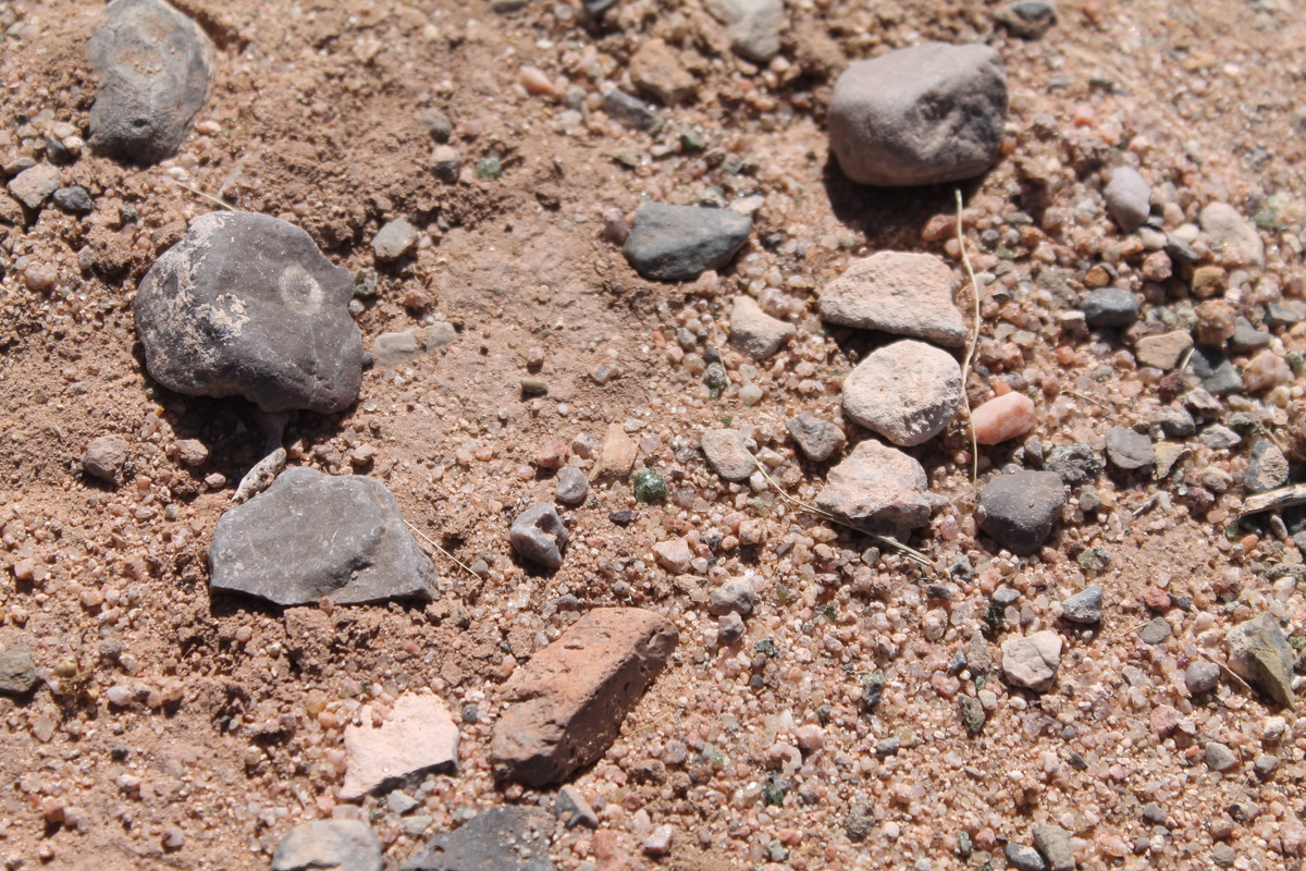
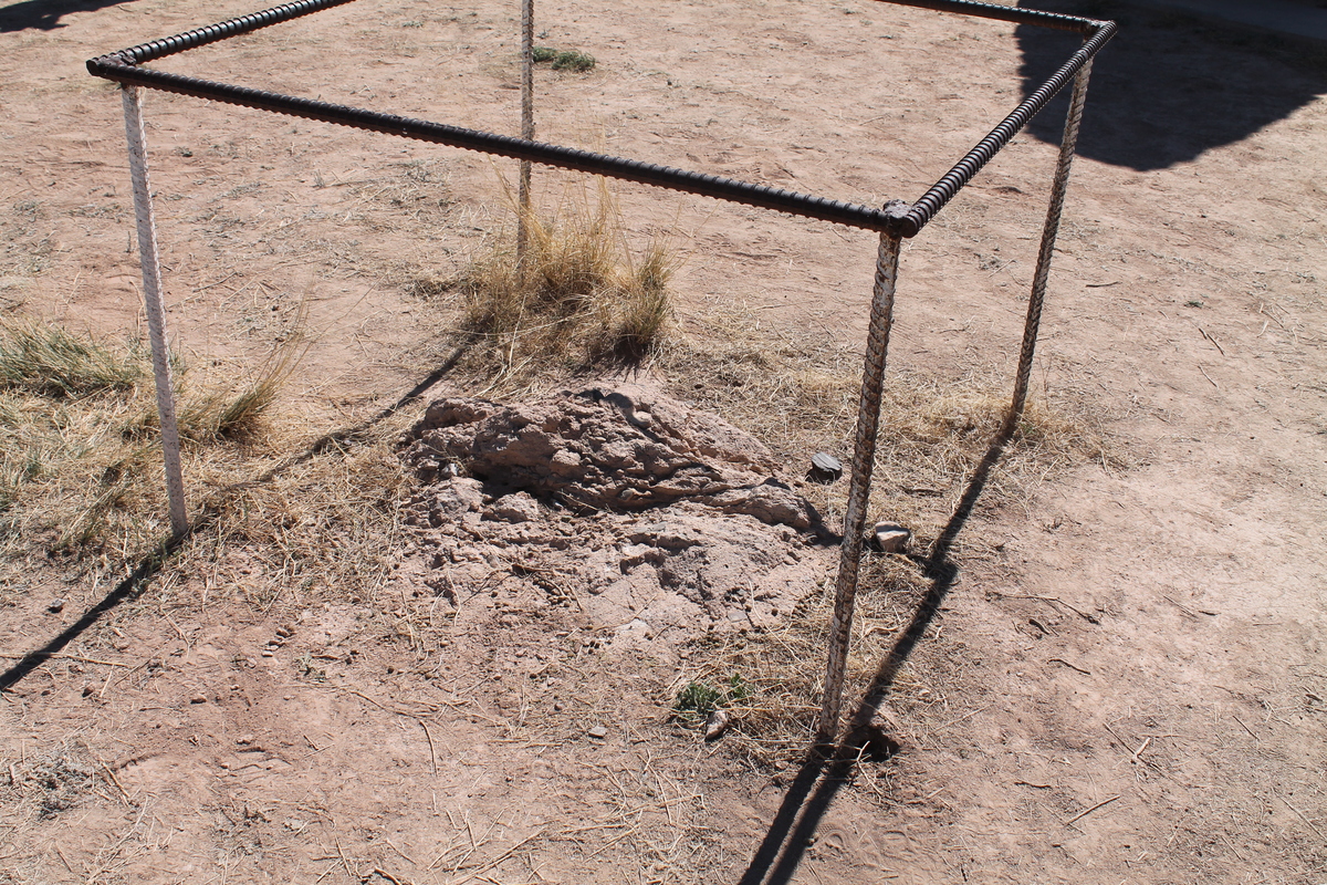
They had told us that it was still possible to find little bits of trinitite around the site, so we walked around a bit, scanning the ground, and we found a few pieces. They were small, about pea-sized. They were green, glassy on one side, and visibly fused sand on the other side. And after taking pictures, we left them on the ground for the next group to find.
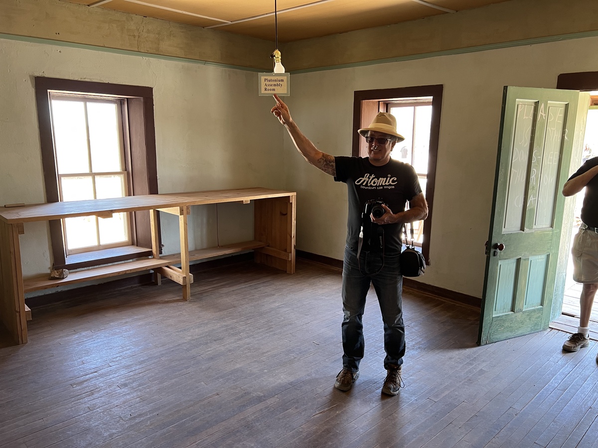
The find part was the bus ride to the McDonald Ranch house, where they assembled the core for the ‘gadget’. That was several miles away, but certainly part of the complete atomic tourist experience.
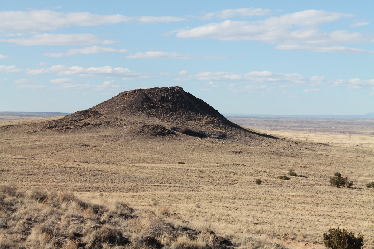
Afterward, we headed out, stopping for lunch in Socorro before heading back to Albuquerque. When we got there, it was still daytime, so we headed out to see the three little cinder cone volcanoes on the west side of town. I’d seen them when I visited my college girlfriend Cindy in Albuquerque in 1980, so I was curious to see them again. The area they’re in is now part of the Petroglyph National Monument, so we couldn’t drive up dirt roads to the cones like back in the old days. We parked and hiked in to see them this time.
All around, it was a fun day, and I’m glad we finally got to do it, even if it did take us 40 years to get around to it.