I’ve been reading a new book lately:
Freewaytopia: How Freeways Shaped Los Angeles
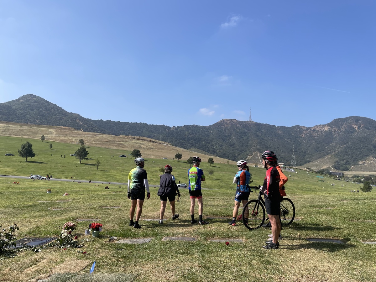
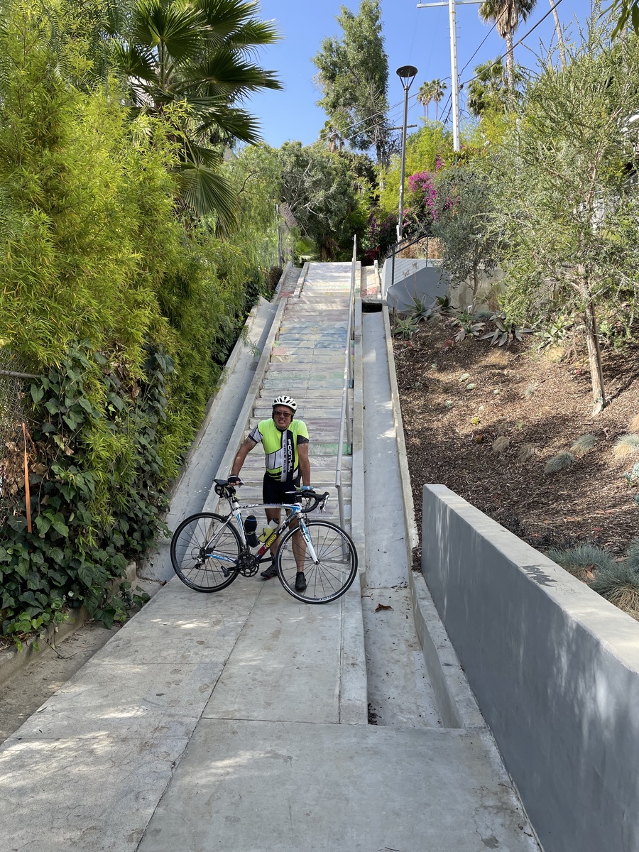
It tells the story of the planning and building of the freeway system in Los Angeles, and a big part of the story is about the freeways that were planned, some started, and then ultimately never built. One of these is the Colorado Freeway, which was planned and started in the early 1950s, but then never finished. So today’s bike club ride was a tour to visit the two stubs of the freeway that were built but never connected.
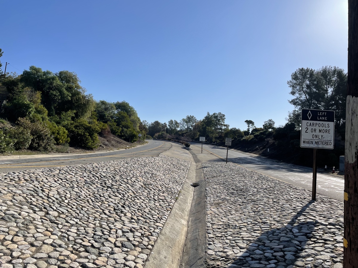
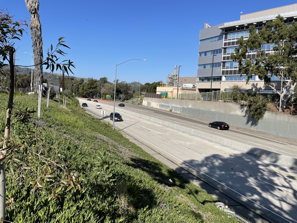
The first part of the freeway was built from the edge of Pasadena into Eagle Rock. Most of this section has been incorporated into the modern-day SR-134 freeway, with just the comically-long Colorado offramp hanging on as a reminder of what was once planned. So we rode down the hill out of Pasadena and then stopped to look at the remaining stub of freeway that’s still there.
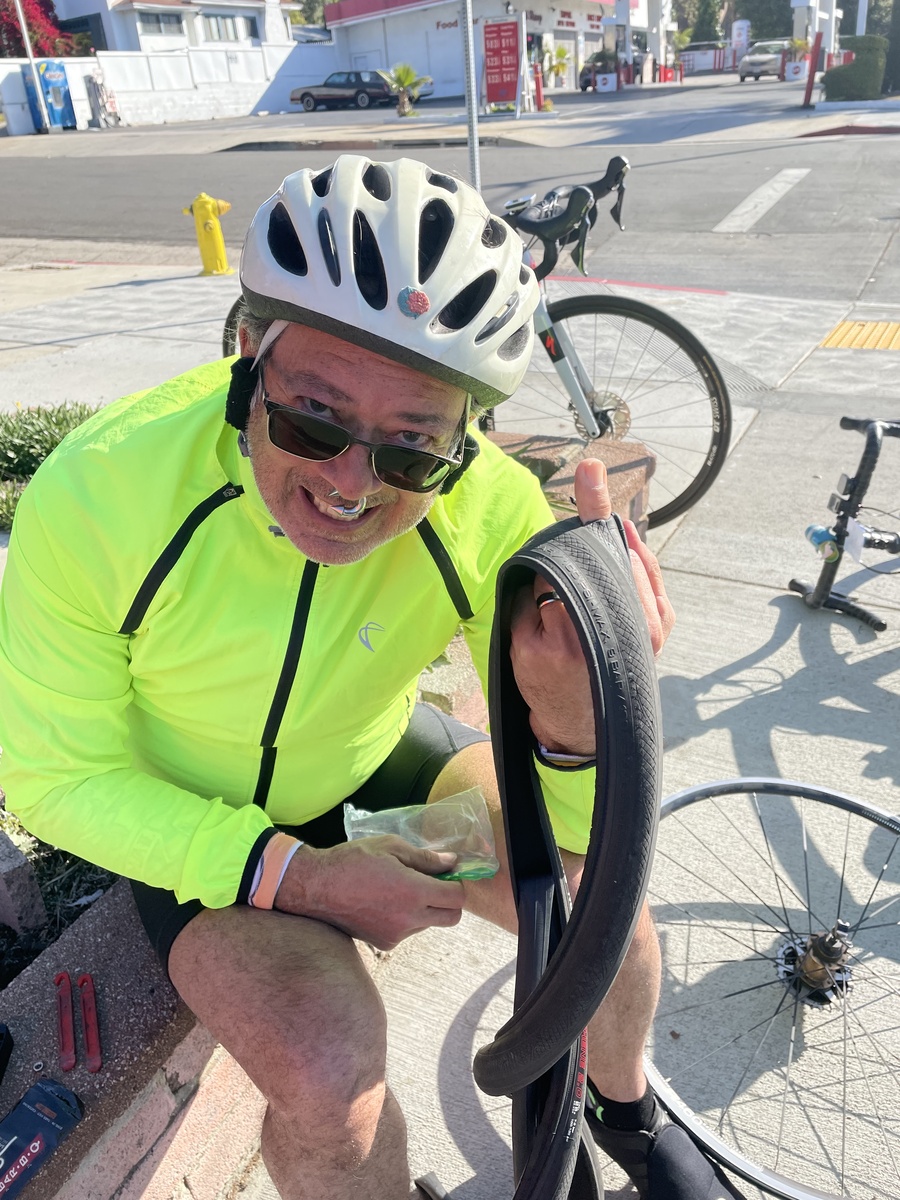
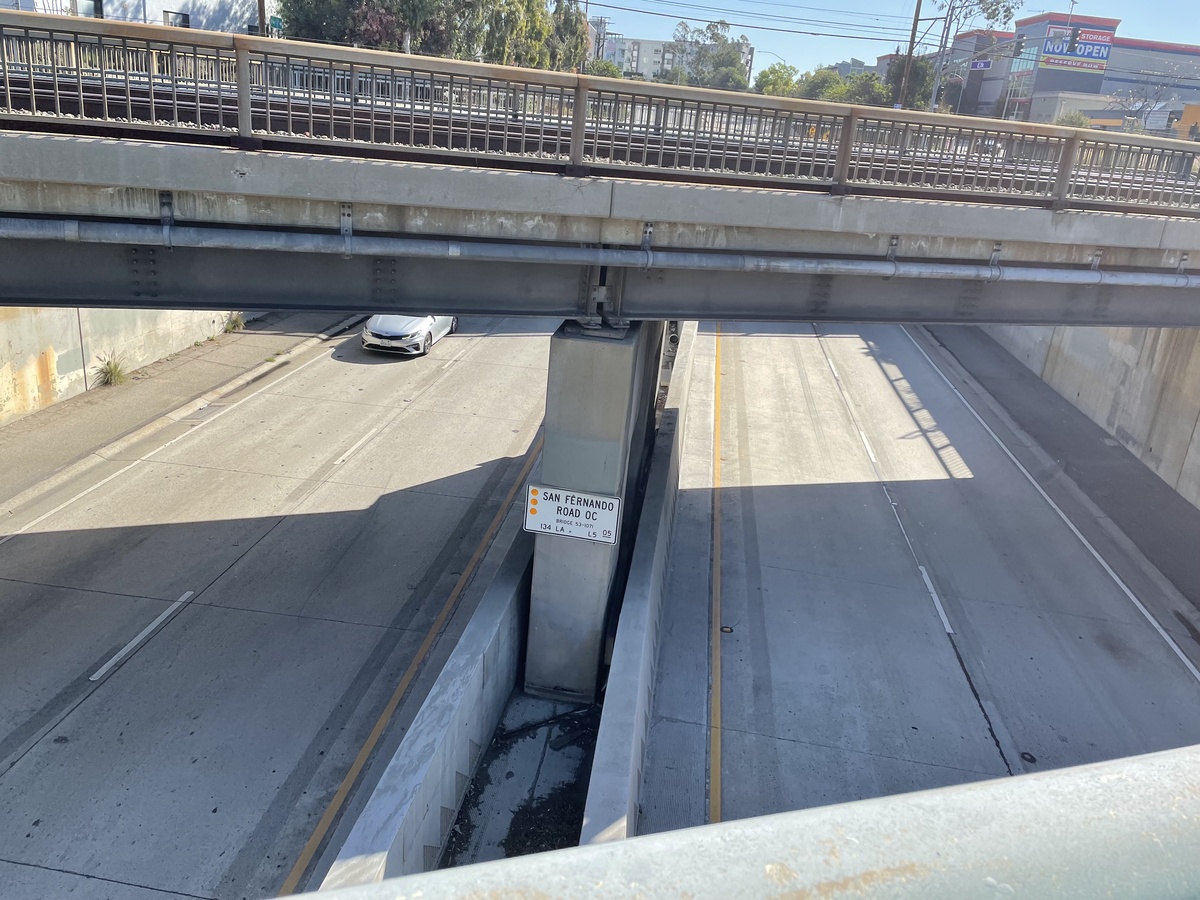
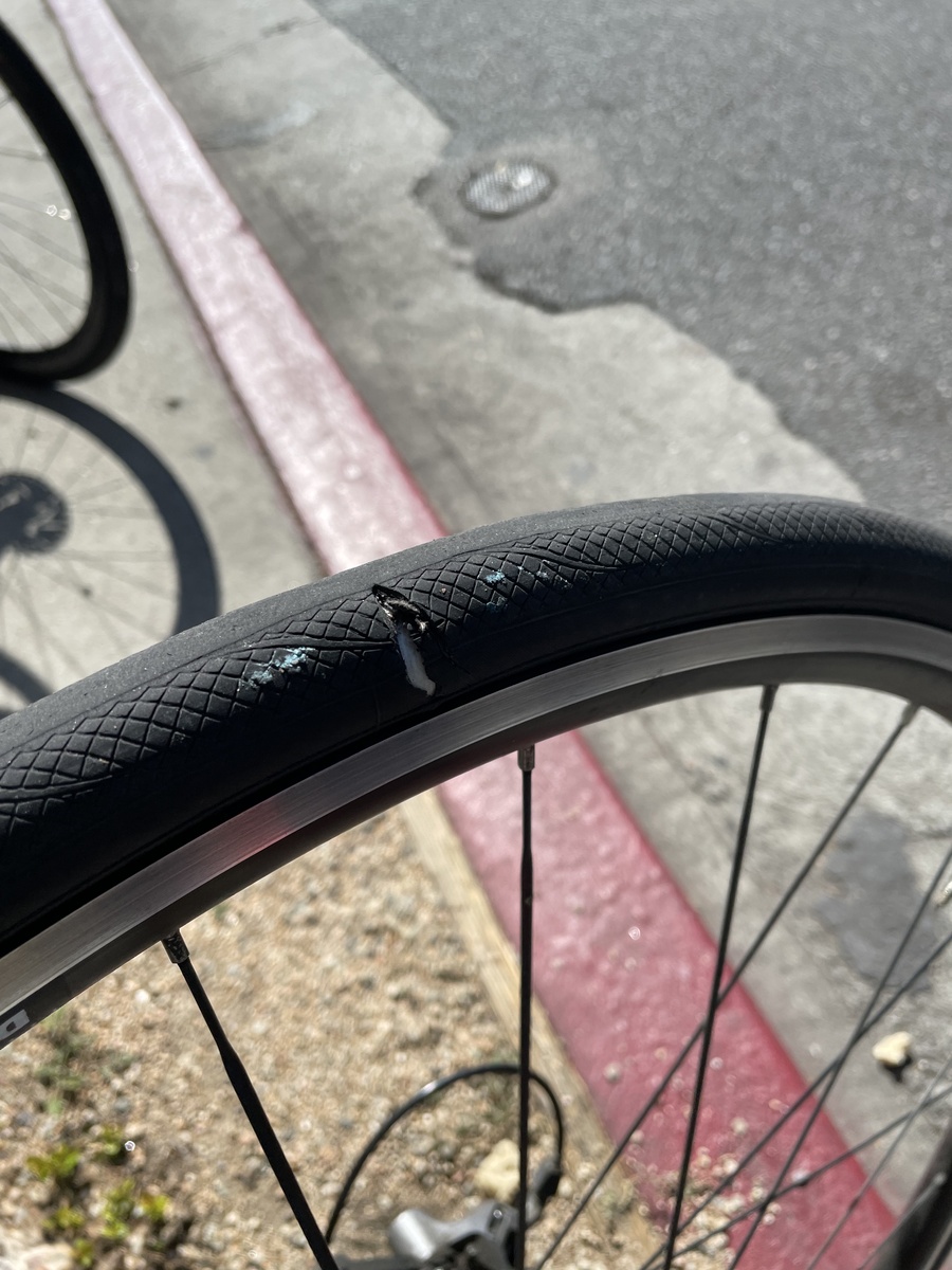
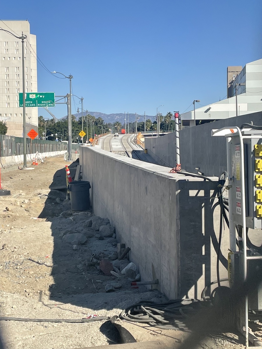
Heading west to Glendale, I ran over something that sliced open my tire, which promptly exploded. I was able to patch it up to a sort-of-rideable condition with an emergency tire boot, so we continued on. Over near the Los Angeles River, we saw the 0.6-mile stub of freeway that was built off of the Golden State Freeway near Griffith Park. The giveaway about this freeway stub is the center divider. Until just recently, it was just a concrete curb divider, which was the style of the old freeways built in the ’50s. Caltrans recently upgraded it into a proper center barrier divider.
We went for snacks at Paradise Bakery in Glendale. And when we were ready to leave there, I saw that the cut in my tire was spreading, so it looked like the boot was working, but not going to last forever. So we looked and saw that Montrose Bike Shop in La Crescenta opened at 10, and was more-or-less along the way. So we rode up Verdugo to La Crescenta and I went and bought a new tire and tube. After all that, my bike was all right, but all of this took some time, so we cut off part of the rest of the route and just headed home.
35 miles.
Route map and elevation profile