Stan’s Obligatory Blog

9/6/2021

A bit of Disney History

Filed under: — stan @ 7:02 pm

This is the bike club ride from August 29, 2021.

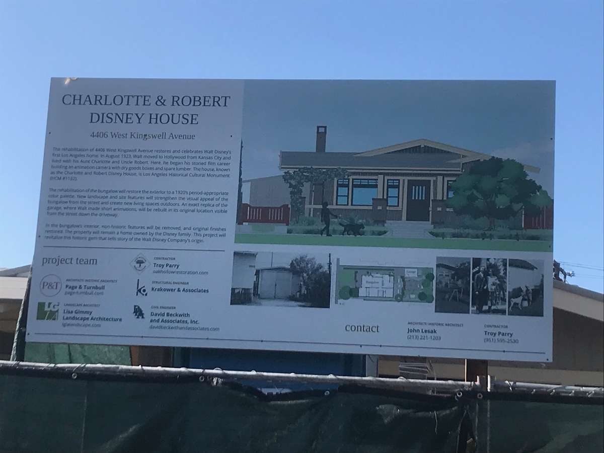
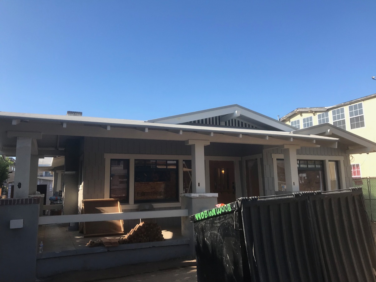
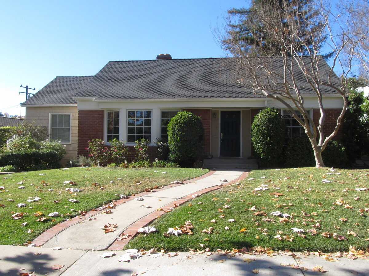
I’d read recently that the city of Los Angeles had bought and was refurbishing the house that Walt and Roy Disney lived in when they first moved here from Missouri.

So, of course I said, “I know where we’re riding this Sunday.”

The house is in the Los Feliz area, and we’ve never been down that street, despite riding by a block away countless times over the years.

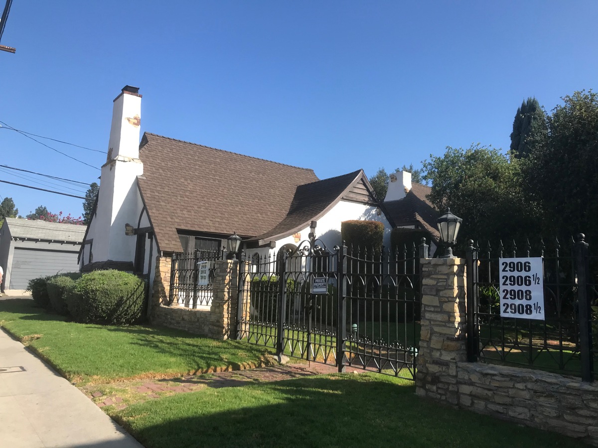
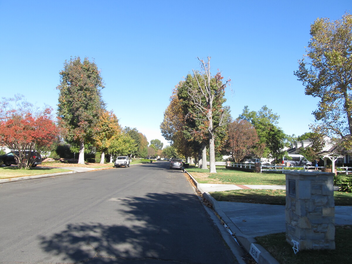
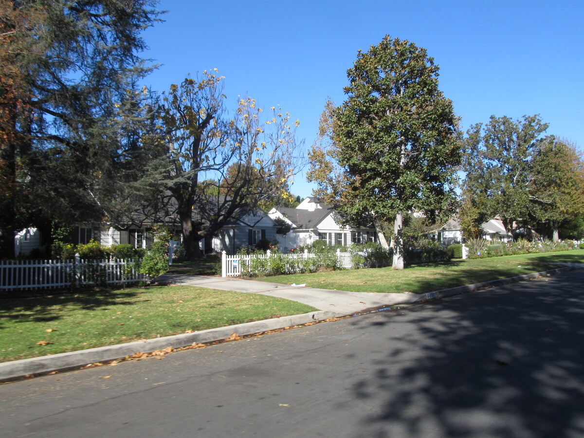
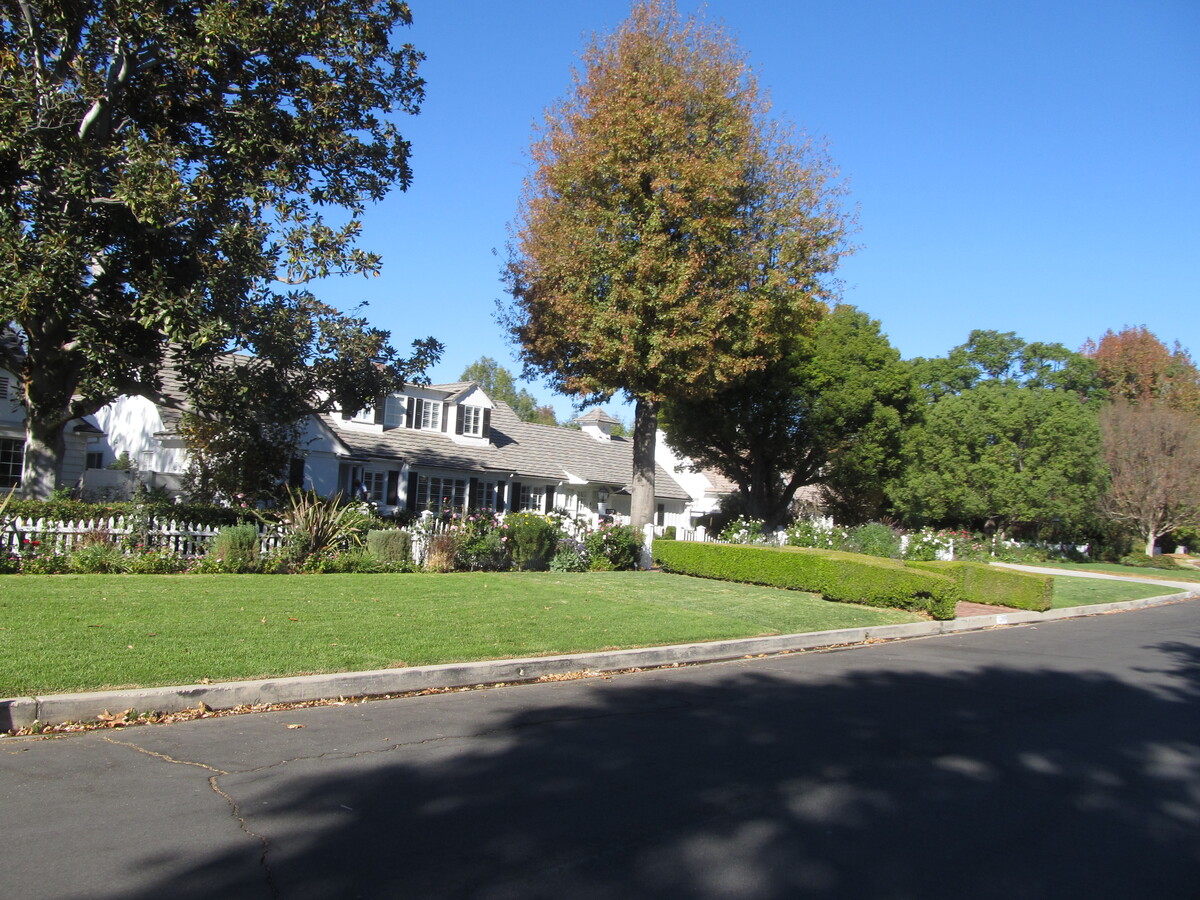
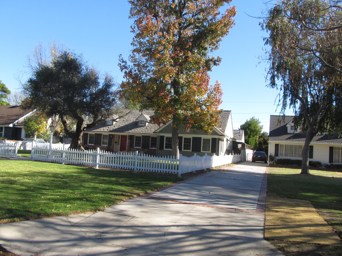
When we got near the house, we took a short side trip to see the “Snow White cottages”. The story is that Walt brought his animators over there to see those houses, and he told them that the house in “Snow White” should look that them. Then we headed over into Los Feliz to see the actual house. It’s a pretty typical house for the neighborhood, but now it’s special. And just a block or so down the same street is the building where Walt set up his first studio.

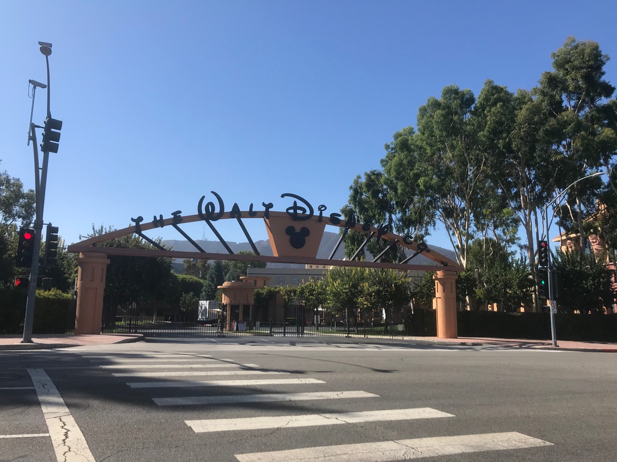
From there, we rode back into Griffith Park and then up to Burbank. We went down Alameda to see the giant imposing gate that is now the face of the corporate behemoth that Disney has become. They’ve planted trees that have grown quite large, so it’s difficult to see the main building with the Seven Dwarfs holding up the roof.

Anyway, no matter how you slice it, it’s an amazing success story. And a little piece of what makes living in Los Angeles tremendously entertaining.

42 miles.
Route map and elevation profile

I’ve been remiss…

Filed under: — stan @ 6:06 pm

I should start posting stuff here again. Otherwise, I won’t have anything to put in the Christmas letter..

12/27/2020

The Crapi Apartments

Filed under: — stan @ 3:51 pm

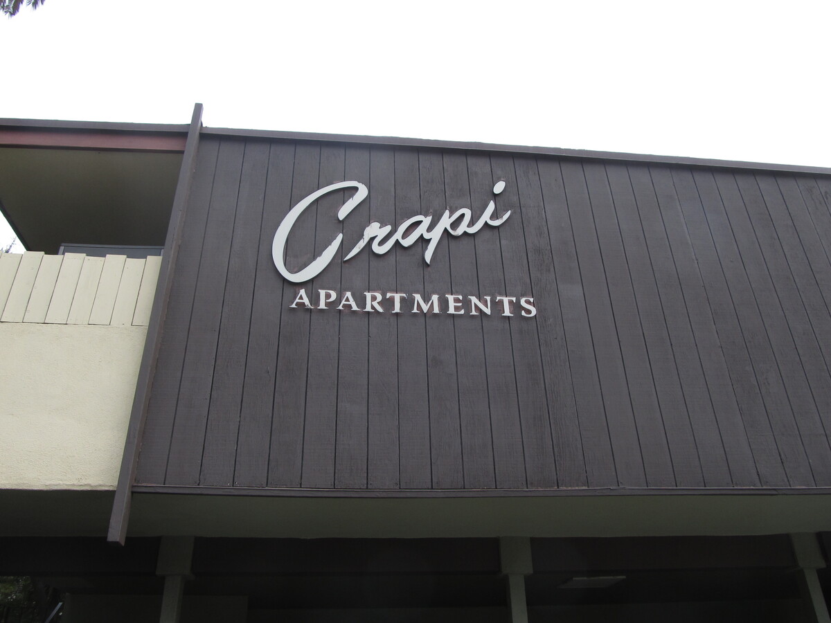
Today’s bike club ride is one we haven’t done since 2014. In the Palms section of west L.A., there is an apartment building called “Crapi Apartments”. It’s a real place. The first time I saw a photo of it, I thought it was a Photoshop gag, but it’s real. So we went to see it today. It was a relatively long ride for us, but it’s quite flat. The day started out cold-ish. It was cold enough that when I saw a shopping bag full of takeout container trash, I tore one side off the bag and stuffed under my jersey. And then I wasn’t cold any more. And by the time we were headed home, it was pretty warm, so it was a good day for riding.

52 miles.

Route map and elevation profile

12/20/2020

It’s a Wonderful Ride – 2020

Filed under: — stan @ 1:54 pm

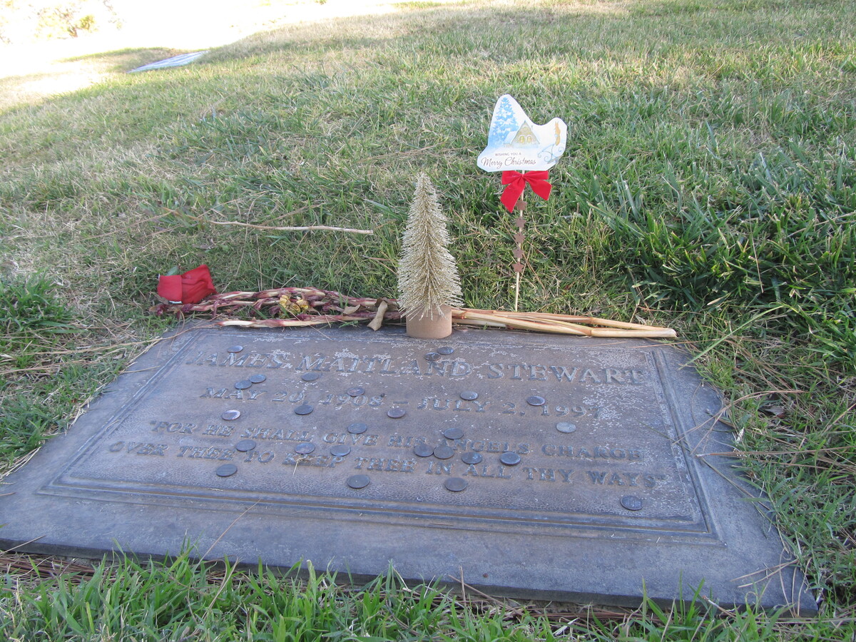
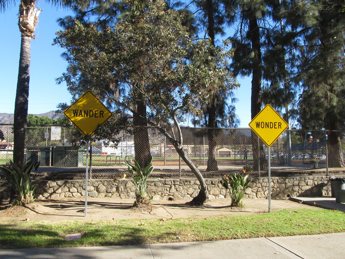
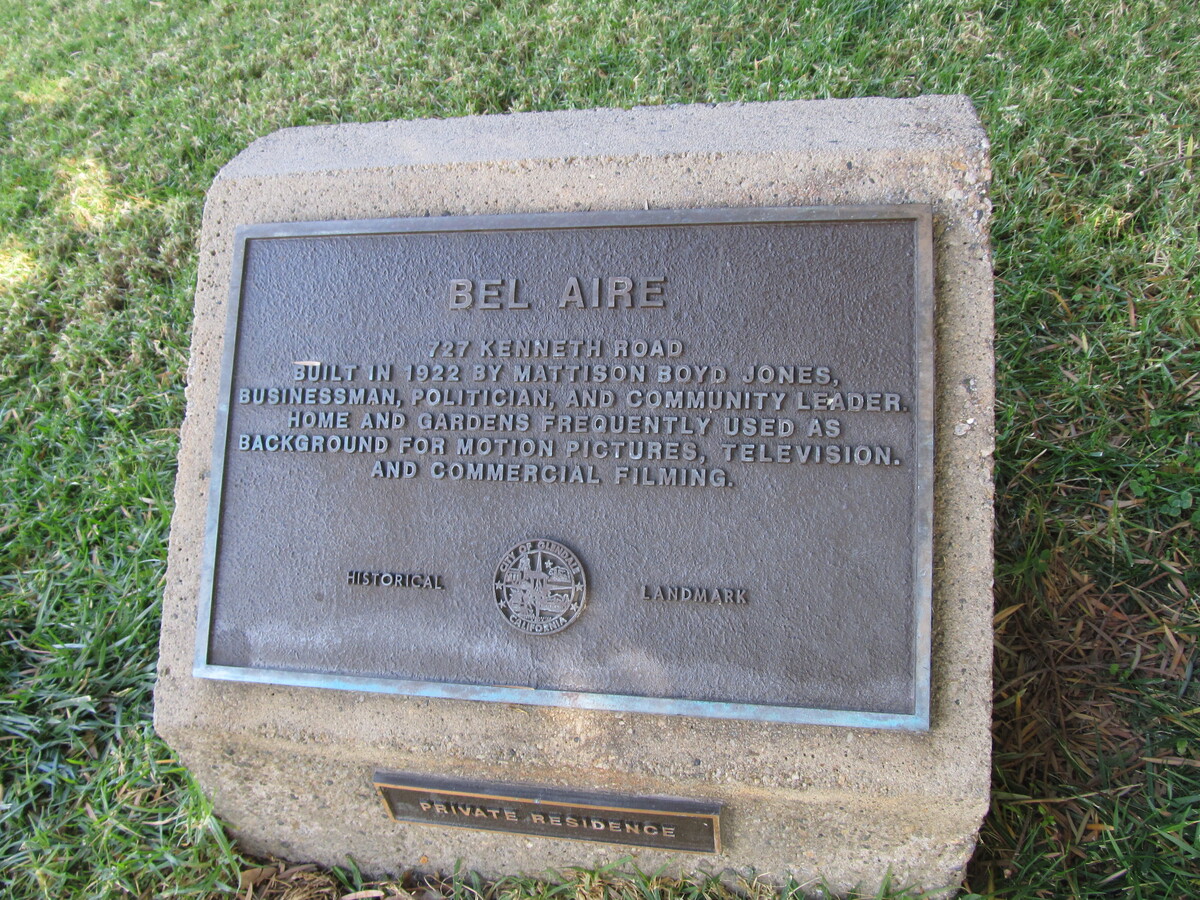
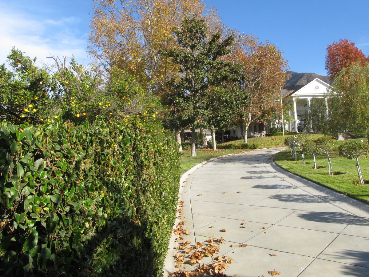
It’s the Sunday before Christmas, which means it’s time for the Christmas-themed ride. The main theme is “It’s a Wonderful Life”, with a visit to James Stewart at Forest Lawn in Glendale, and then passing by the Martini family home in the movie, which was the only scene that was shot on location. And along the way, we also passed by the house used as Clark Griswold’s boss, Frank Shirley’s house in “National Lampoon’s Christmas Vacation”. We also saw that there are still a few of the signs from the “Word on the Street” art project up in parks in Glendale.

The day started out cold, but it warmed up fast, and it turned into a very nice day.

37 miles.

Route map and elevation profile

12/6/2020

Sea Monsters

Filed under: — stan @ 3:37 pm

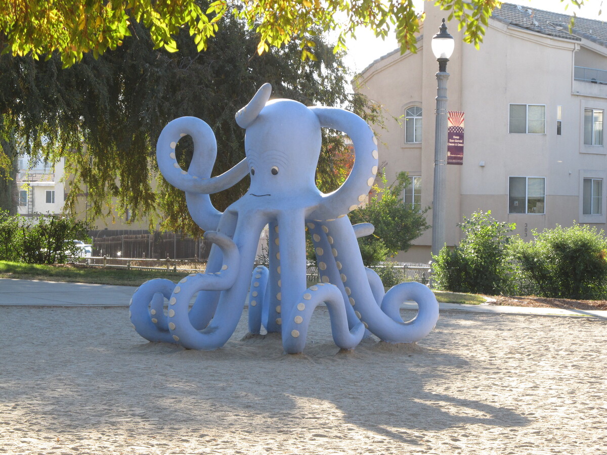
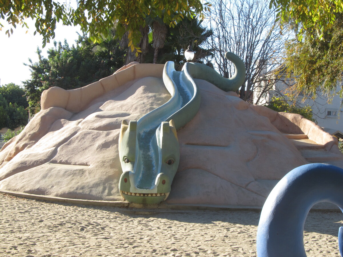
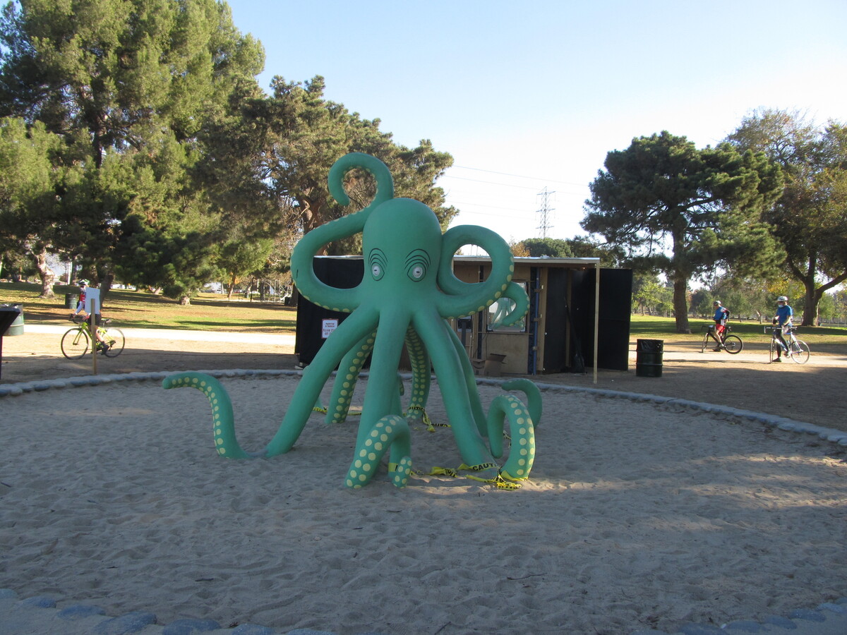
Today’s bike ride was a visit to Vincent Lugo Park in San Gabriel. This is the park with the sea monsters playground. And after that, we rode to Whittier Narrows, where there are some more sea monster sculptures made by the same artist. The ones at Whittier Narrows are mostly decorative, while the ones at Vincent Lugo have slides and other play elements built in.

41 miles.

Route map and elevation profile

11/29/2020

Cameron Woods

Filed under: — stan @ 2:47 pm

Today’s bike club ride is one we haven’t done in several years. It’s a visit to Orion Ave in Van Nuys, also known as the “Leave it to Beaver” street, and it’s reputed to be the most-filmed street in Los Angeles.

https://www.youtube.com/watch?v=D3DLxGQVv_0

53 miles.

Route map and elevation profile

11/15/2020

The Airplane Ride

Filed under: — stan @ 5:08 pm

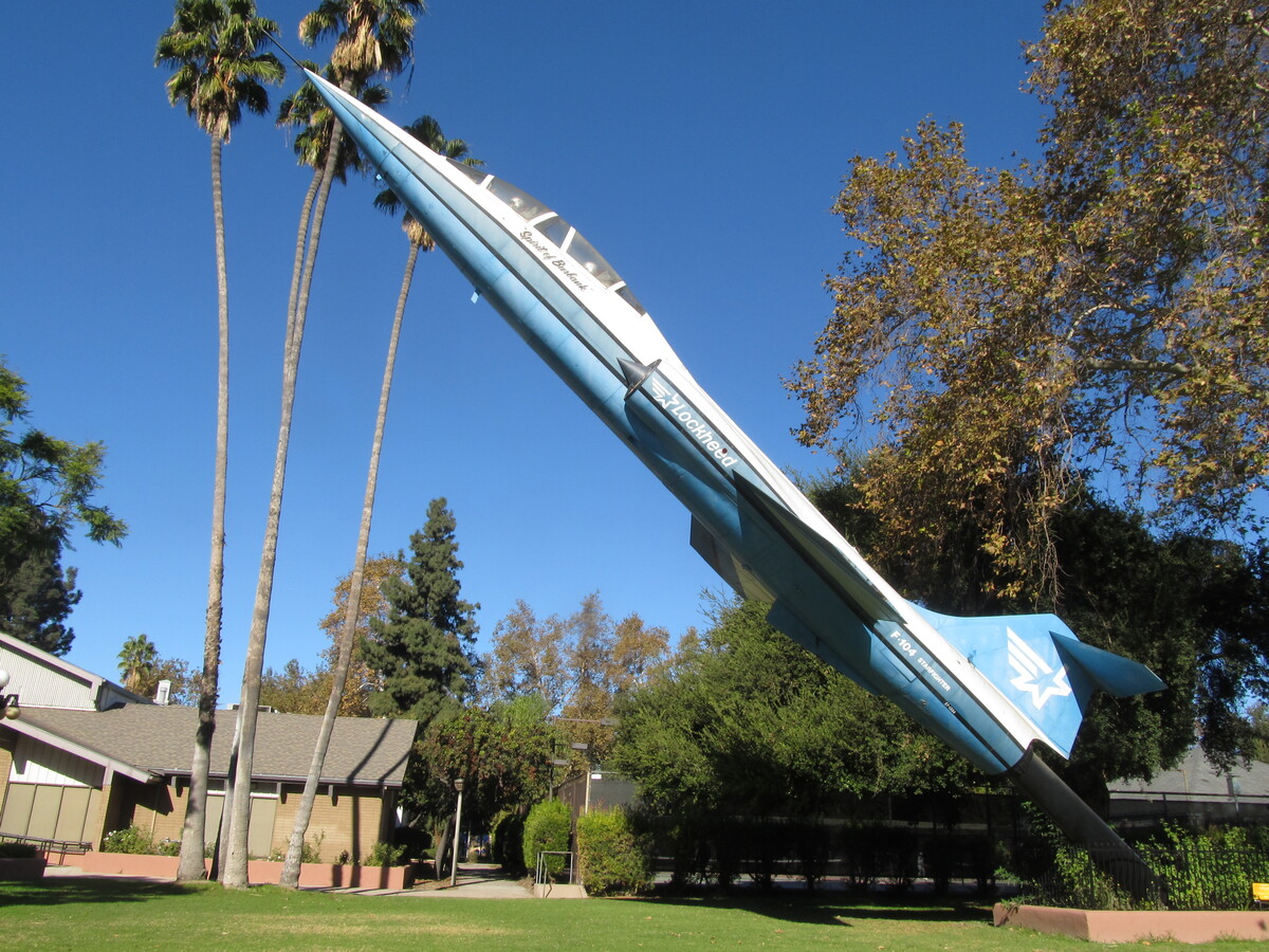
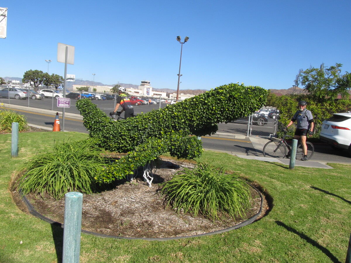
Today’s bike club ride was the Airplane ride. A quick trip to Burbank to see the F-104-on-a-stick in the park on Olive Ave, and then to the airplane topiary at the entrance to Burbank Airport. It was a perfect day for riding.

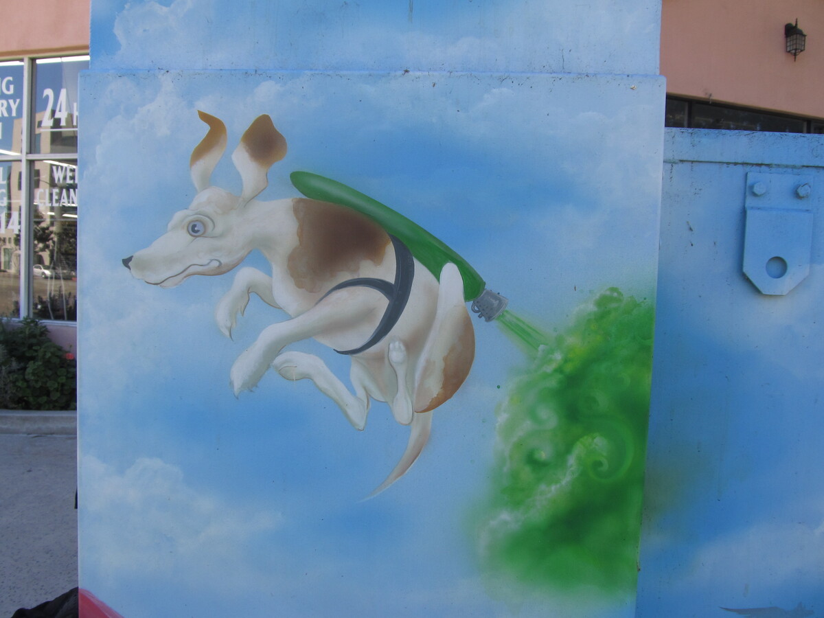
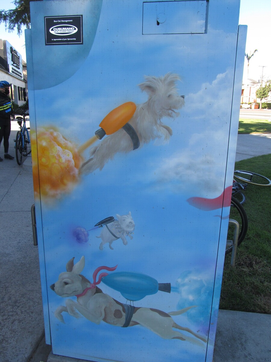
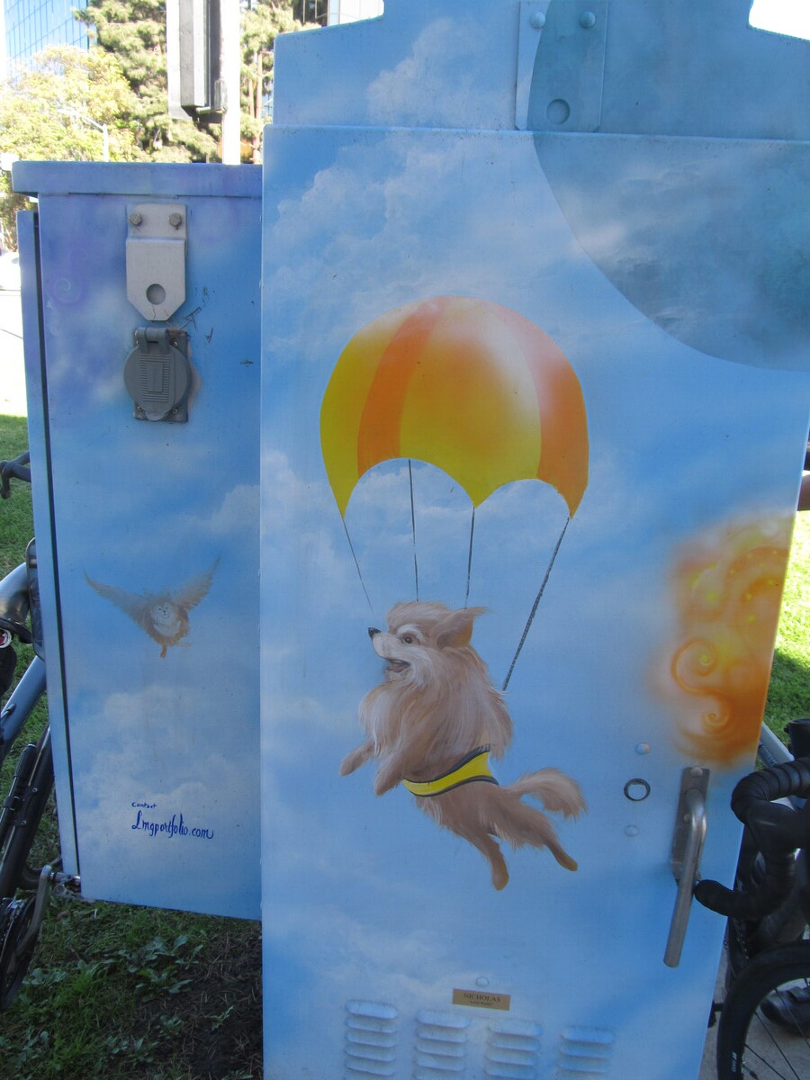
On the way out, we stopped briefly at South Hills Church to contribute some food items to their Little Free Pantry. When we got to Priscilla’s, all the tables were taken. As I said, it was a perfect day outside. So we went across the street and sat in the shade over there. That was the fist time I’d noticed the utility box there painted with the cute pictures of dogs with rockets strapped to their backs.

All in all, it was a good day for riding.

46 miles.

Route map and elevation profile

10/25/2020

Down the for Count – 2020

Filed under: — stan @ 8:44 pm

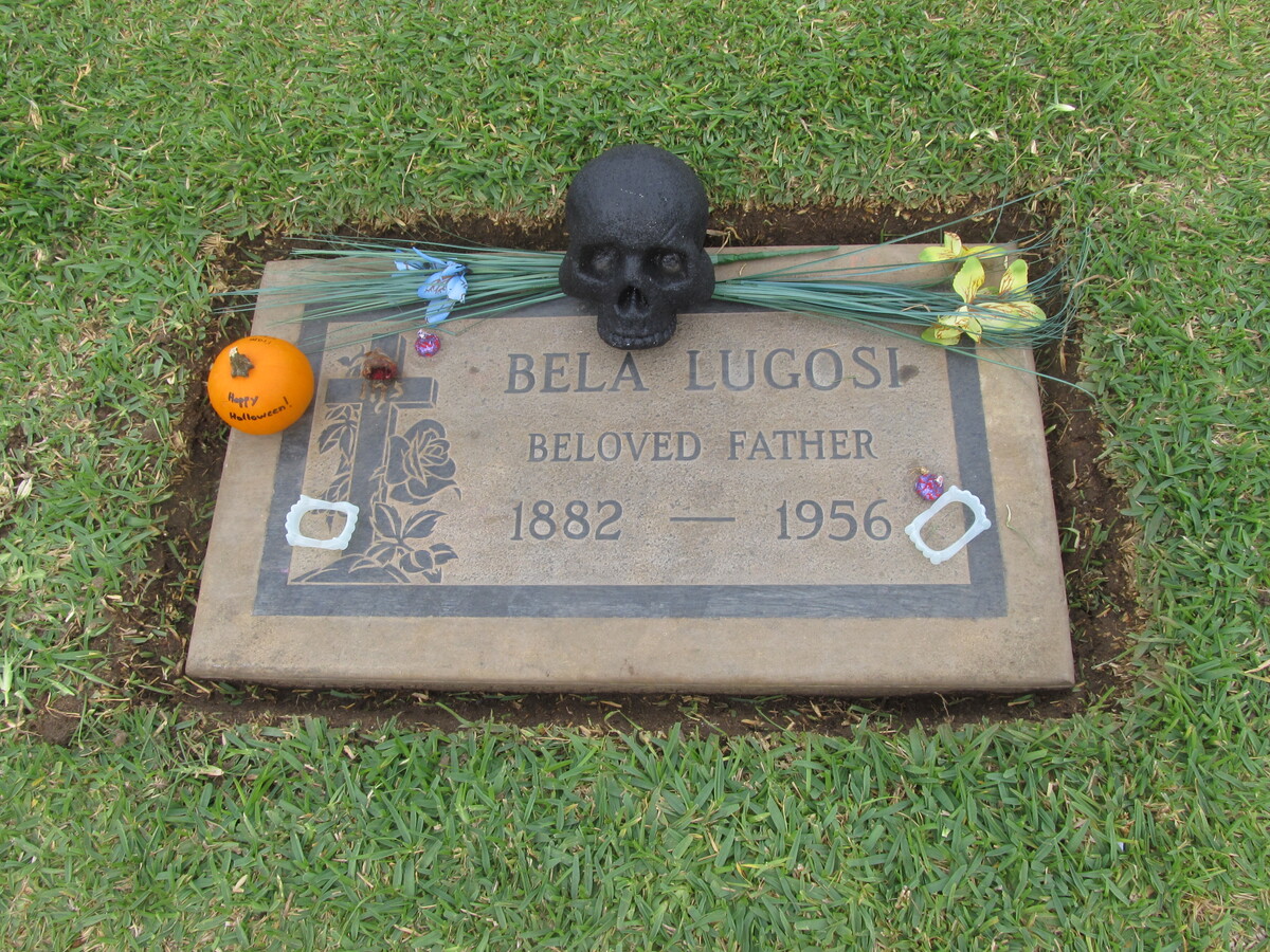
Today is the Sunday before Halloween, so it’s time for the annual Halloween ride to Culver City to visit Bela Lugosi’s grave. We’ve been doing this since 2007. The route has evolved over the years, but it always comes in at about 55 miles. This time, we had a couple of flats on the way back, and the little cafe we usually stop at has apparently closed permanently. But it was a nice cool day, so we still had a nice time.

56 miles.

Route map and elevation profile

9/27/2020

Walk this way…

Filed under: — stan @ 7:11 pm

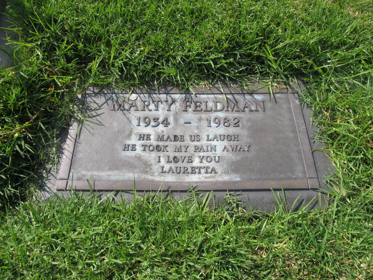
This week, I was watching “Young Frankenstein” for the first time in a long while, so this Sunday’s bike club ride was yet another celebrity grave tour, this time to see Marty Feldman at Forest Lawn Hollywood Hills. It was a perfect day for riding. Cool in the morning, and no smoke from the fires this week.

We rode out through South Pasadena and Highland Park. There is still a closed section of the L.A. River bike path, so we had to take a short detour. But we finally made it to Forest Lawn and rode up the hill to Marty Feldman’s grave. The Findagrave app on the iPhone made finding it pretty easy.

After Forest Lawn, we rode over to Priscilla’s for drinks and snacks. That was where I saw the Hello Kitty donut tattoo. That made my day.

So, overall, it was a fun day.

44 miles.

Route map and elevation profile

9/20/2020

Remembering 9/11

Filed under: — stan @ 7:40 pm

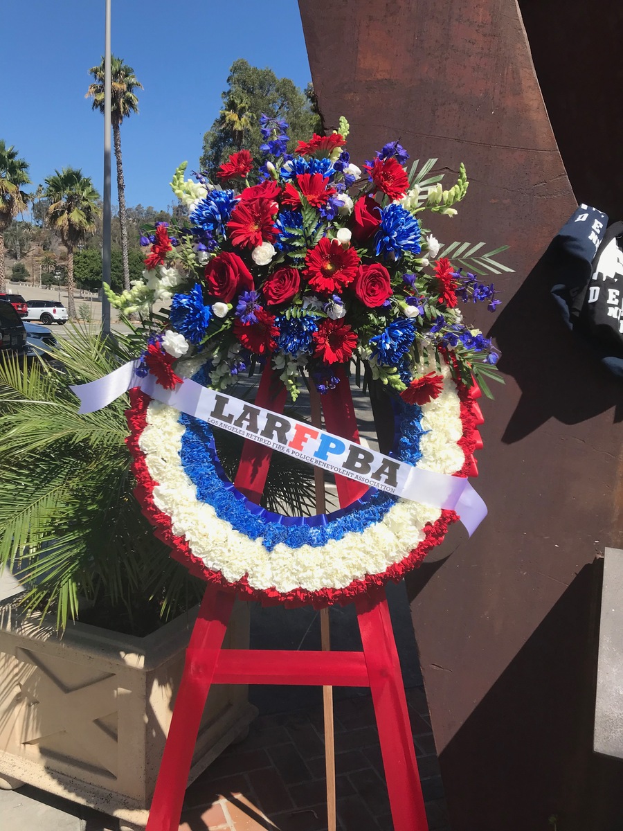
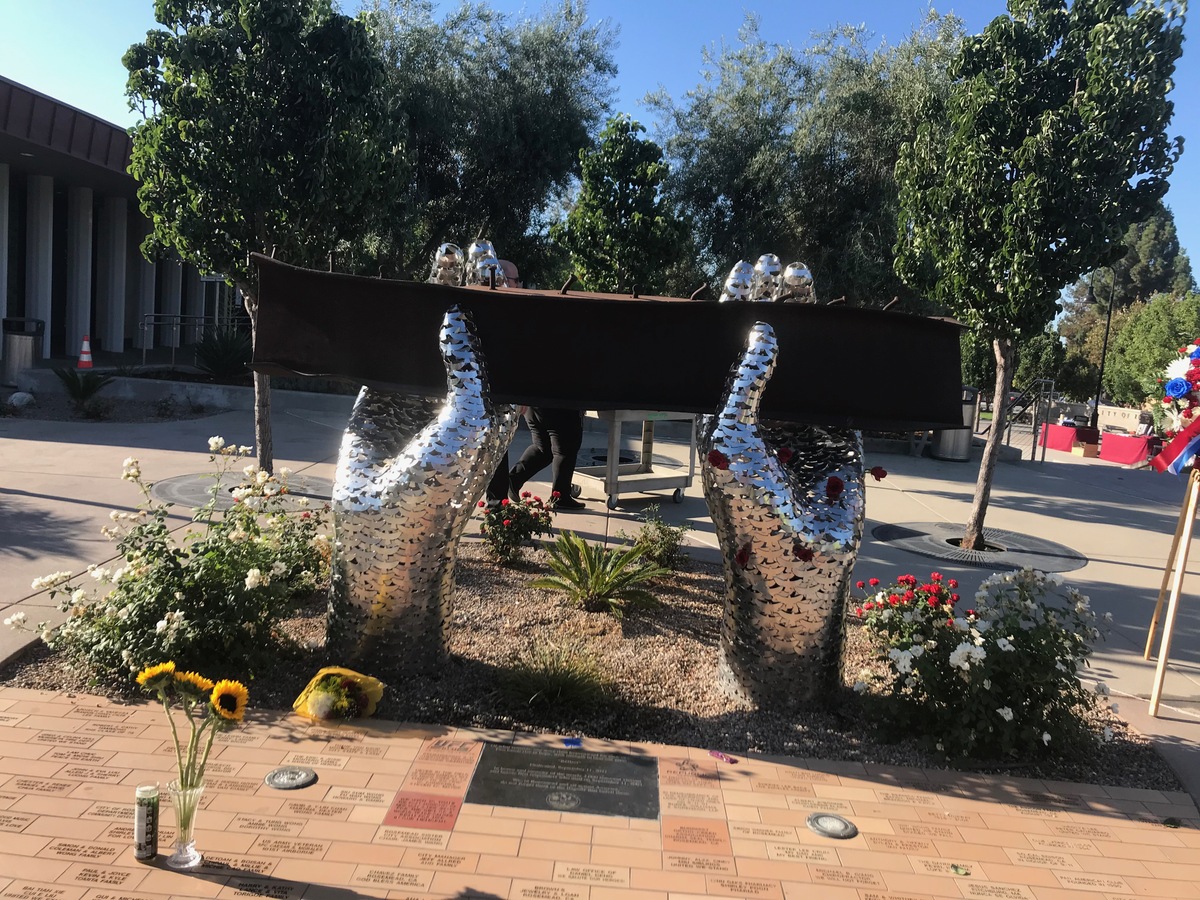
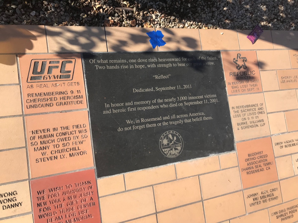
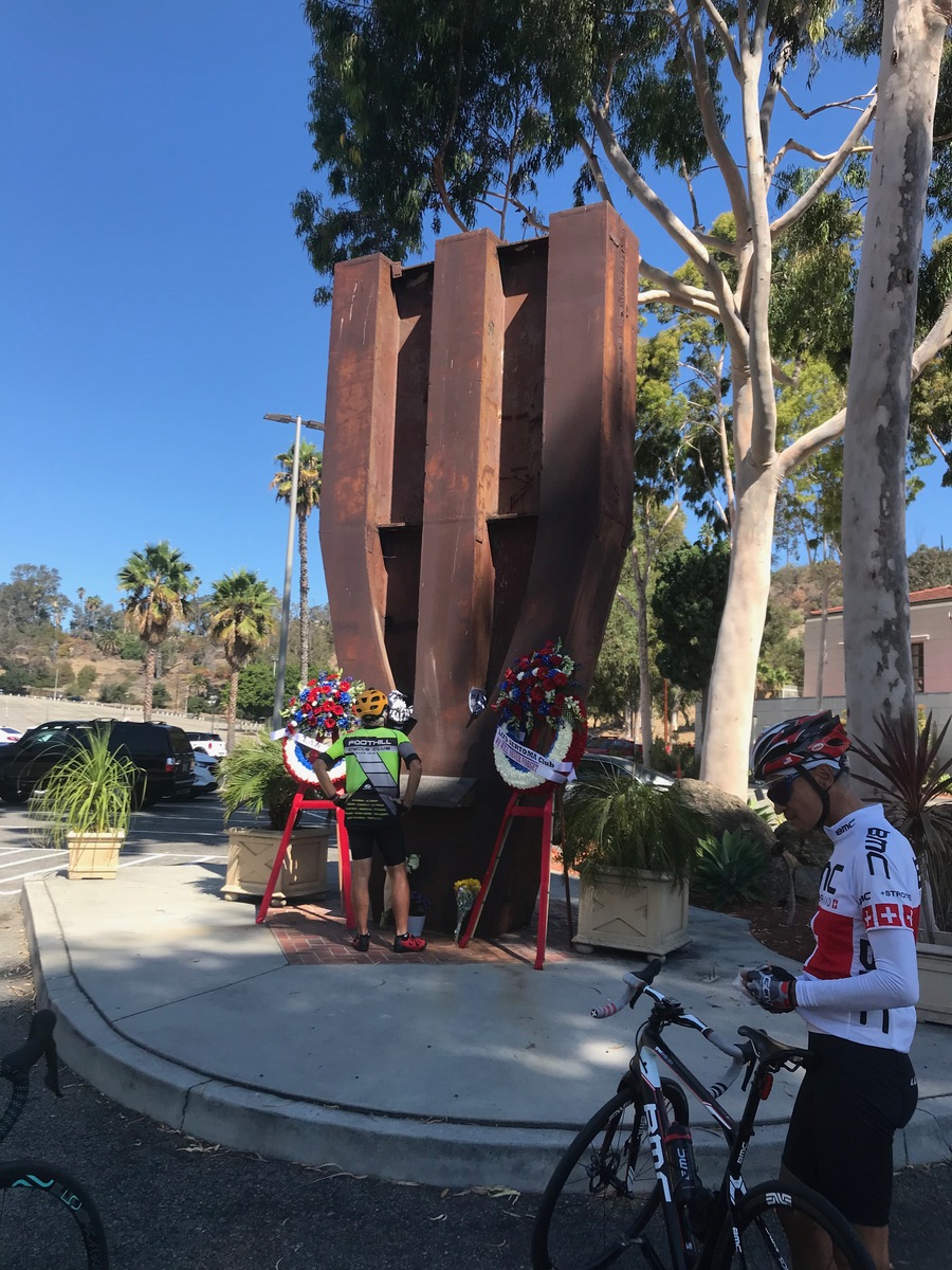
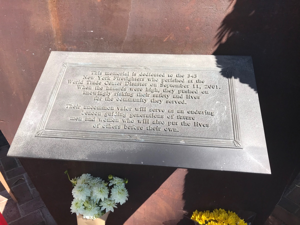
This week’s bike club ride was a visit to two different 9/11 memorials in the L.A. area. We were supposed to do this ride last week, but the ride was canceled due to smoke from the Bobcat Fire.

The first memorial is in the city of Rosemead:

https://www.roadsideamerica.com/tip/51182

From there, we headed to downtown L.A. and then out to near MacArthur Park before turning north to Echo Park. Along the way, we passed Angelino Heights, which is yet another place we’ve visited on the Sunday bike ride. The 9/11 memorial is at the L.A. Fire Department training center near Dodger Stadium:

https://www.roadsideamerica.com/tip/35370

Our snack and drink stop was at Chimney Coffee House, just outside downtown L.A. It was a pretty nice place.

41 miles.

Route map and elevation profile

Powered by WordPress