Stan’s Obligatory Blog

2/28/2015

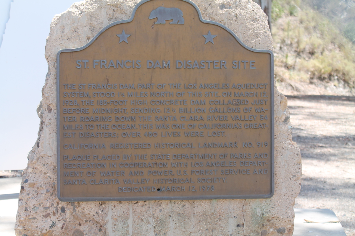
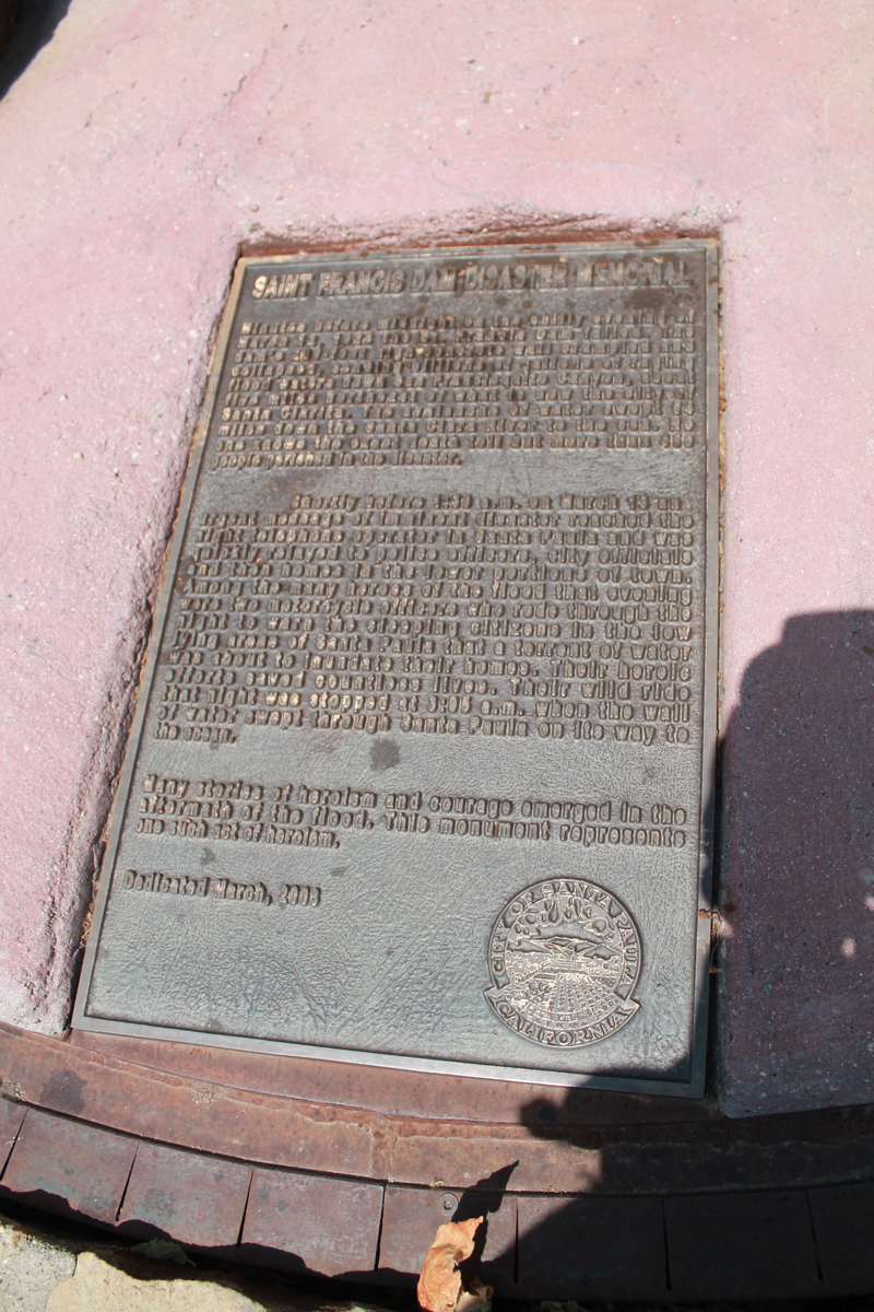
The St Francis Dam Disaster

Filed under: — stan @ 5:32 pm

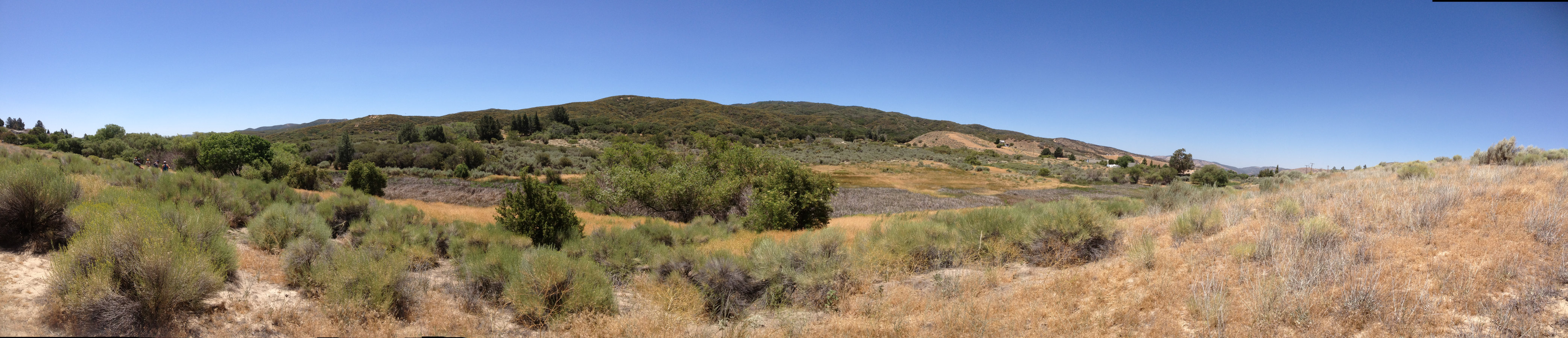
Back in 1978, I rode in the Bouquet Canyon Road Race, which was a bicycle race that went up Francisquito Canyon, across through Green Valley, and back down Bouquet Canyon. And at the time, I remember us riding up the canyon, and then, where the road went through a narrow spot, I saw great chunks of concrete next to the road. It was obviously the rubble from some great structure that had met an untimely end. So, years later, I looked it up and read about the St Francis dam and its collapse in 1928. And today, the Obscura Society was doing a tour of the site.

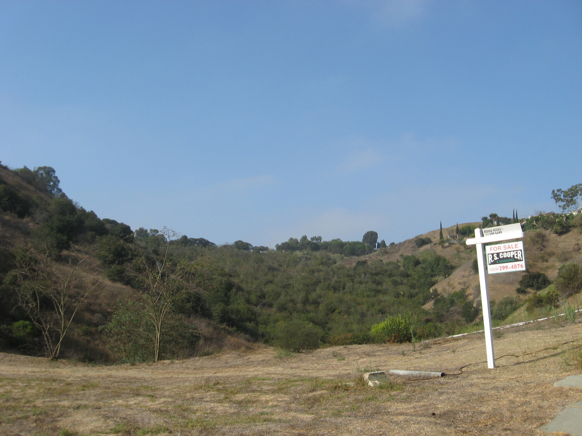
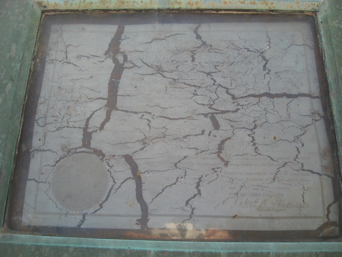
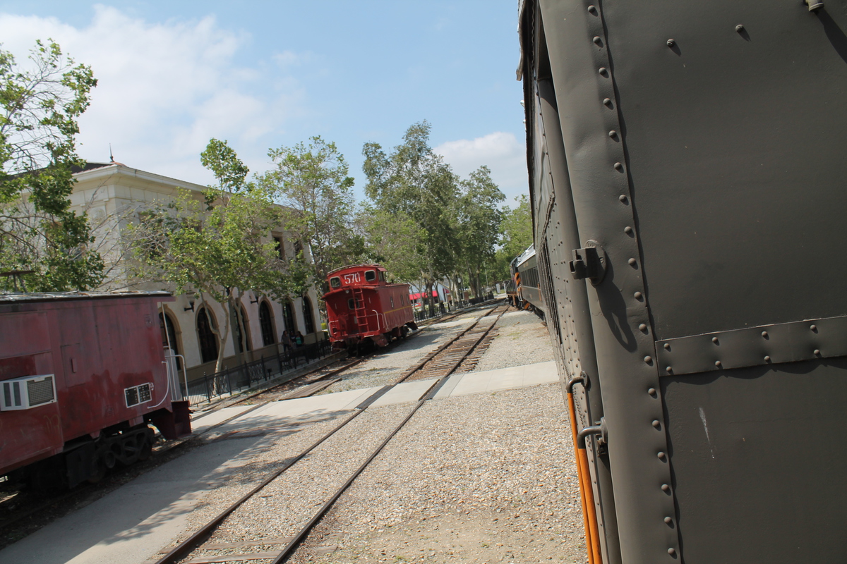
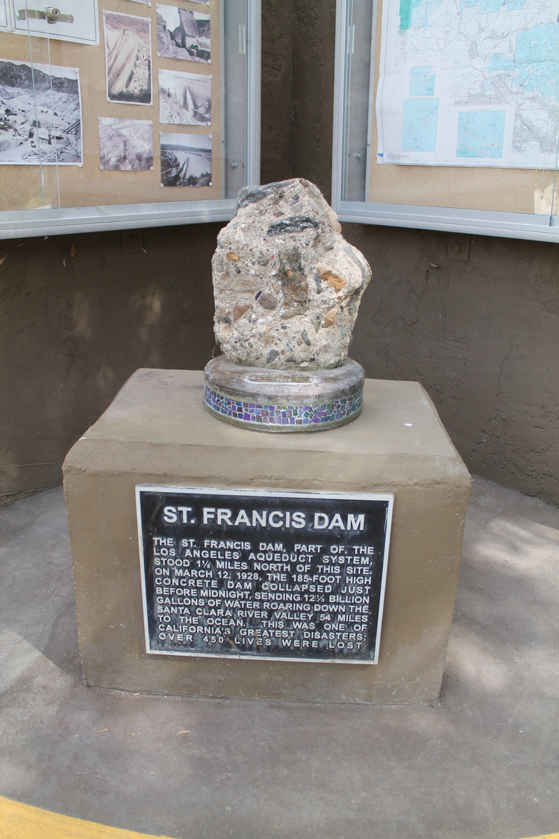
We met up at the fire station that is below the dam site, and next to DWP Power Plant #2. They had a small exhibit with photos of the dam both before and after the collapse. Our guide for the tour was Ann Stansell, who has studied the disaster, and who wrote her thesis about it. After looking at the photos and at the power plant, we all headed up the road to just above the dam site.

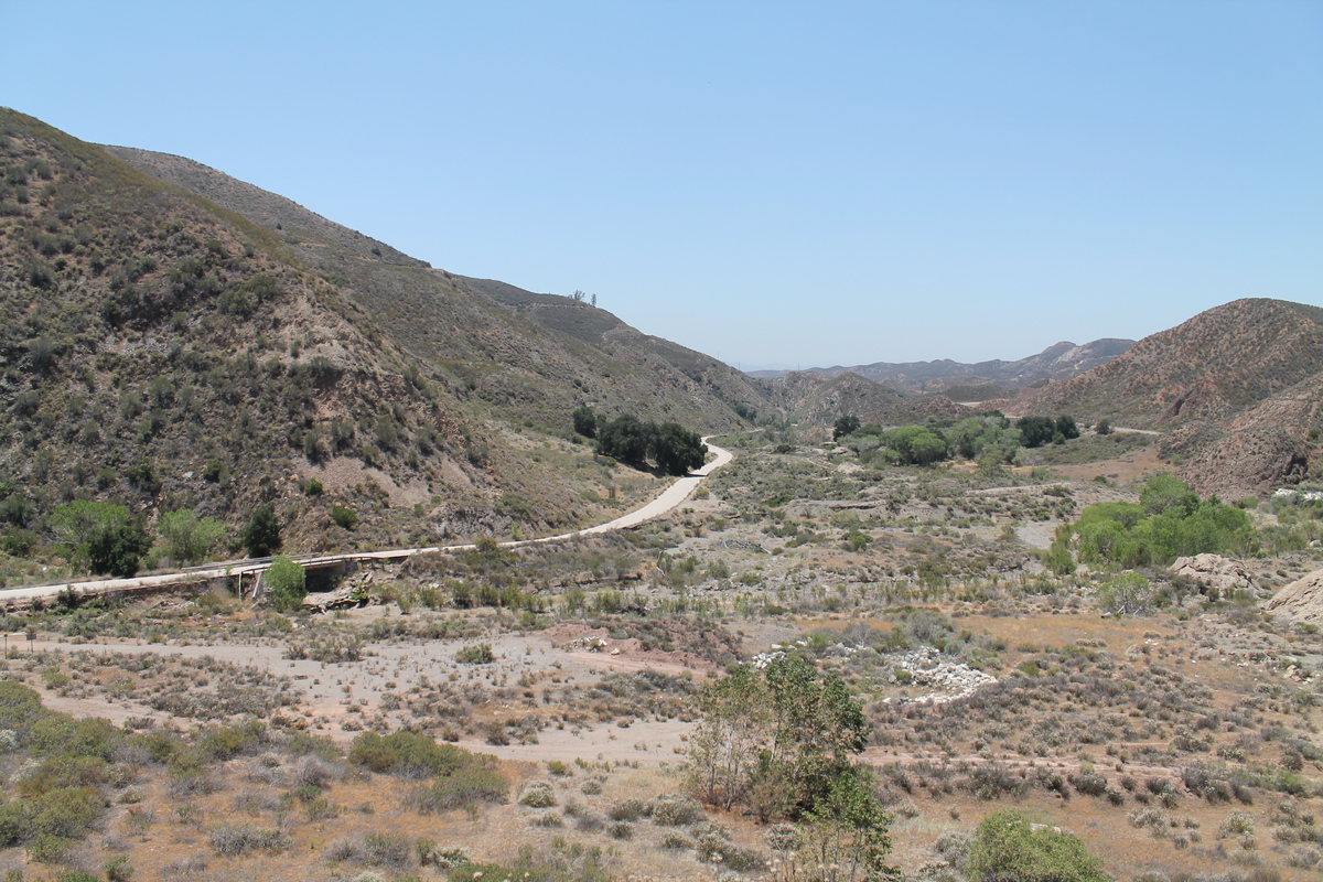
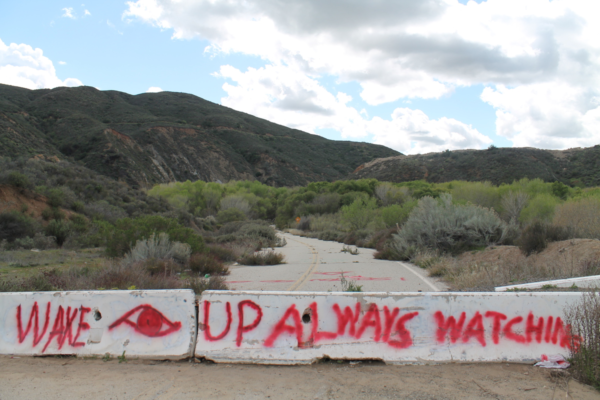
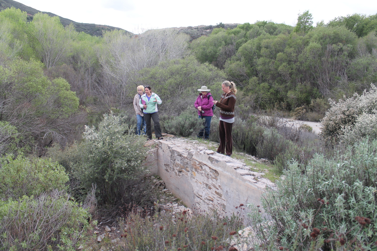
The old road through the canyon that I remembered riding on had been washed away in about 2005, and a new road was built around the washed-out section. So we met up at the top of the abandoned section of the road, and then we walked back down the canyon to the actual dam site. Along the way, we saw the foundations of a small hotel that had stood in the canyon before being flooded out when they started filling the reservoir.

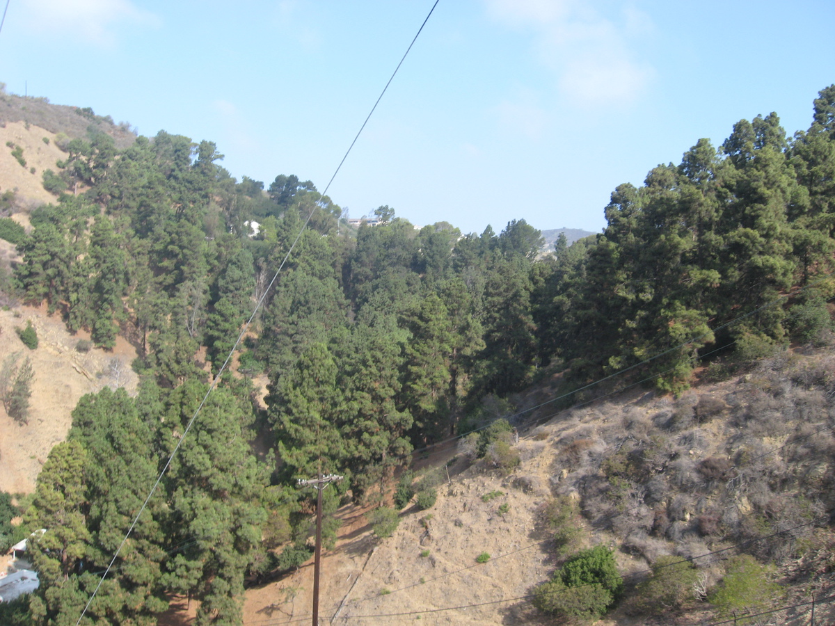
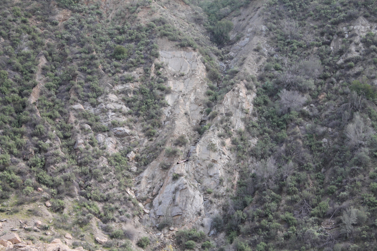
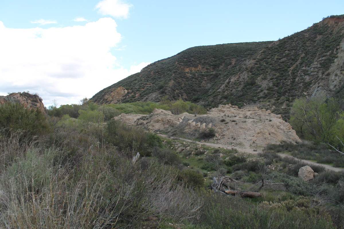
When we got to the dam site, we could see the big piles of concrete rubble that I’d seen in 1978. It was all more overgrown now, but still an impressive pile of rubble. While we were standing there, I had a look at the west wall of the canyon. That was the rock that was implicated in the collapse, as it is a soft rock that I was able to break apart with my hands. In the final report on the collapse, it was described as “a reddish conglomerate which, even when dry, was of decidedly inferior strength and which, when wet, became so soft that most of it lost almost all rock characteristics.”

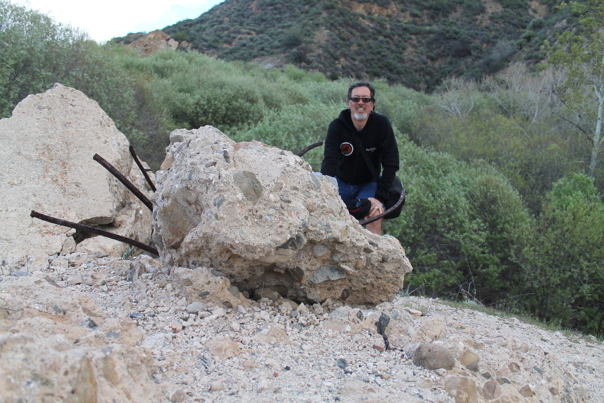
The group was going to climb up to the remains of the wing dike on the hillside above the west wall of the canyon, but before doing that, I followed Sandi down into the rubble field to see the big chunks of concrete.

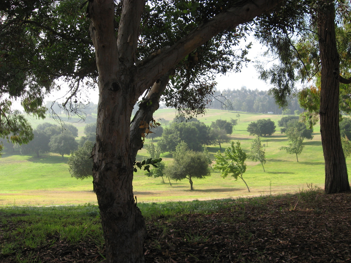
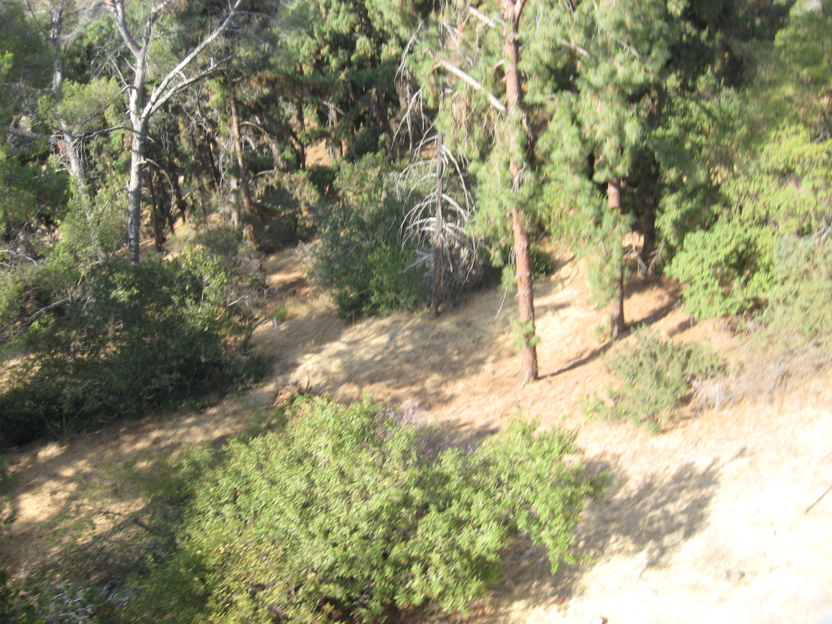
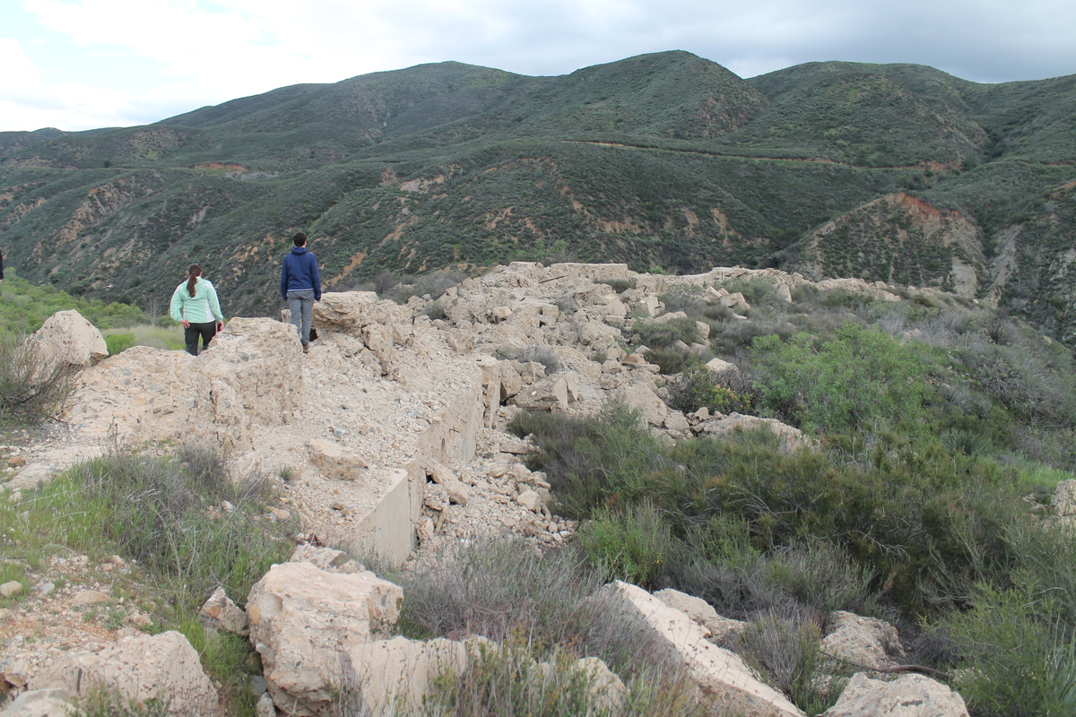
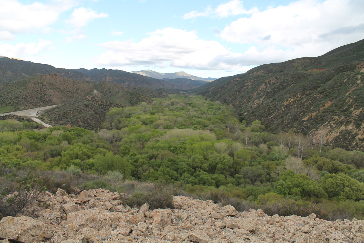
After looking at the rubble close-up, I headed up the hillside to catch up with the group. They’d said that it was steep, and kind of a hard climb. But I figured it couldn’t be much worse than climbing skyscraper stairs, and I was able to catch up with them. And at the top, we got to see the remains of the wing dike. We walked out to the end of it, and from there, we could look across the canyon and visualize what the dam looked like when it was still standing. It was really pretty large. Ann also pointed out that the trees growing in the part of the canyon that used to be the reservoir are much greener and thicker than the ones below the dam site. She said that during the few years that there was a reservoir there silt collected on the bottom, and apparently the trees like that.

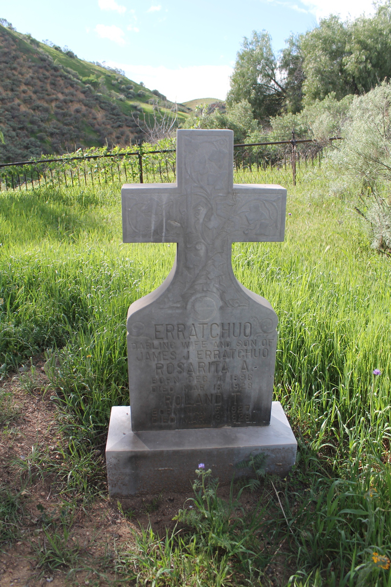
Leaving the dam site, we headed downstream a few miles to see the Ruiz family cemetery. A large number of the Ruiz family members were killed in the flood, and they were all buried there. The cemetery itself is on a small hill, so it was just above the level of the flood waters.

6/12/2014

Another field trip

Filed under: — stan @ 9:49 pm

This week, an email was sent to everyone in my office, inviting us to come and see the trenches that Kate Scharer has been working in on the San Andreas Fault. The location was near Lake Elizabeth, a bit north of Los Angeles. This is the southern end of the Carrizo Plain segment of the fault. So a group of us made arrangements to go up there for the morning.

The route up there went up San Francisquito Canyon. That was the site of the Bouquet Canyon Road Race in 1978, which I’ve long regarded as the single most miserable day I’ve ever spent on my bike. And it was also the site of the St Francis Dam disaster, which is an interesting bit of local history.

It was a nice day, but kind of windy up there on the fault line. Kate had her dogs with her, and they were running around, trying to get us to play with them. That, and they also like to go down into the trench to lie down on the cool dirt at the bottom. Kate took us on a tour of both trenches, pointing out the layers and where they were broken by past earthquakes. She showed us where the breaks could be traced from one trench to another. She also pointed out ancient animal burrows and worm holes.

After the trench tour, we took a walk up to the top of a small rise near the trench site. From there, we could take in a full 180-degree view of the fault zone.

On the way home, we stopped briefly at the site of the former St Francis dam, just to marvel at how big is was, and to try and imagine what it was like when it all came crashing down.

It made for an interesting morning.

4/12/2014

It only took me 19 years to get around to this

Filed under: — stan @ 7:20 pm

This weekend, Kathleen wanted to go to Tomatomania. We’d missed their events in Encino and La Cañada when we were away in Seattle and San Diego. So what was left was the stop in Fillmore. At first, I thought going to Fillmore for tomato seedlings seemed absurd. But then I thought about the clipping I have from the L.A. Times from March, 1995 about the Fillmore and Western Railway. Going there and riding the train has been on my list of things to do for 19 years now, so we decided to go and make a day of it.

We went up relatively early so that we could pick out some tomatoes before going to ride the train. We brought a cooler along to put the plants in so that they wouldn’t get baked in the hot car while we were on the train.

The train ride is about 10 miles from Fillmore to Santa Paula. It was pretty scenic, with the train cruising by endless citrus and avocado orchards. Some of them had beehives to pollinate the trees, and the train passed through big clouds of bees there. We were riding in the open-air car, but the bees ignored us.

When we got to Santa Paula, the train let us off for about an hour, so we walked into downtown and had some lunch. Then we took a walk back to the train station, stopping off to look at the memorial for the Saint Francis Dam disaster. While we were there, we found out that the restored WWII bombers that we went to see in Burbank were doing an airshow in Oxnard. We saw the B-17 fly by a couple of times during the afternoon.

On the way back, the train stopped off at The Loose Caboose, which was a very weird grab bag of stuff. Kathleen stopped to feed the goats, and we had a look at the koi ponds and turtles. It was a strange, but very entertaining place.

The trip to Fillmore made for a long day, but it was a fun time.

8/15/2013

Scouting the West Side

Filed under: — stan @ 8:00 pm

Kathleen had to have surgery today, and due to the requirements of it, we had to go to the West L.A. Kaiser hospital. They said it would take 2-3 hours, and that I should be available during that time. Since just sitting in the waiting room is just excruciating, I made sure they had my cell phone number, and I brought my bike along to scout out some possible sightseeing for the Sunday morning bike club ride.

Since we’ve done a couple of rides to see different aspects of the history of the Los Angeles oil fields, I’ve done a bit of reading about this. And I ran across an article about fracking wastewater disposal that mentioned polluted water bubbling up out of the ground in a dog park on the west side of L.A. They weren’t very specific about where it was, and when I finally tracked it down, it turned out to actually be in Culver City. But as it turns out, this is just a couple of miles from the Kaiser West L.A. facility, so I had my first sightseeing destination.

To get there, I rode down Venice Blvd, which isn’t nearly as bad as it sounds like it would be on a Thursday morning. There is a bike lane, and it was really only a problem going under the big bridge under construction for the Metro Expo Line. Then I turned on Culver Blvd and rode over to the park in Culver City. There was a line of pawprints painted on the sidewalk marking the way to the dog park. When I got there, it was an acre or so of dirt, complete with oil wells pumping away just up the hillside beyond the fence. There was also a little fenced-in enclosure across the street from the entrance, with humming equipment inside that was pretty obviously something to do with the oil field.

Another recent sightseeing theme on the Sunday morning ride was to see the Mulholland Dam and the Hollywood Reservoir. This came out of having gone to a talk about the St. Francis Dam disaster in 1928, which is considered to be one of the worst civil engineering failures of the 20th century. During that talk, they mentioned that the dam collapse is largely forgotten in Los Angeles, possibly because all the death and destruction it caused happened far outside the city. So during the question-and-answer period, I asked the panel to compare this to the 1963 Baldwin Hills Dam collapse, which is also kind of forgotten, even though it happened within the Los Angeles city limits, just about 8 miles west of downtown. They said that they thought that that was probably because of the combination of the fact that the destruction it caused was much less than the St. Francis Dam, and also because it happened in December, 1963, just weeks after the Kennedy assassination. In any event, I’ve wanted to go see the site of the Baldwin Hills Dam for some time now, and it’s only a few miles east of Culver City and the dog park. And to add to the connection, the prevailing thinking now is that the dam collapse was probably caused by ground subsidence due to operations in the Inglewood oil field just south of the reservoir. The remains of the dam and the bowl of the reservoir have since been landscaped and turned into Kenneth Hahn State Recreation Area.

So I rode over to Baldwin Hills, and I headed up a street that looked like it might lead to a way in to the park. The main entrance to the park is on La Cienega Blvd, but on the section that was built decades ago as a section of the planned Laurel Canyon Freeway. Even though it’s officially just a street, I really don’t want to be riding my bike on the freeway, so I was looking for another way in to the park. I rode up a steep hill to a place where I had a good look at the former dam, complete with the dip in the wall where it broke. I continued on up to the end of the street, where there was a locked gate. So I asked someone who was out walking in the neighborhood. She said that she thought there was a way in off the street on the other side of the former reservoir, so I rode back down the hill and up the other side, only to find more locked gates. I finally did find a gap in the fence with that looked like a goat path that may have led into the park. But that’s not really what I was looking for. The only lesson I can draw from this is that for some reason, the powers that be REALLY, REALLY don’t want people to come to this park by bicycle. Still, I did get a pretty good view in through the gates to see the nicely landscaped bowl of the former reservoir.

On my way back down the hill, my phone made some noise. It was a message from the nurse that Kathleen’s operation was nearly done, and that everything had gone well. So I headed back to the hospital. As I’d learned back in 2007, going for a bike ride is a good way to pass the time while waiting for these sorts of things. So it worked out well for both of us.

8/11/2013

Just Another Dam Ride

Filed under: — stan @ 4:10 pm

A few weeks ago, Kathleen and I went to a talk at the downtown library about the St Francis Dam disaster. Back in 1978, I rode in a bike race that went up Francisquito Canyon, and I remember seeing the ruins of the dam during the race. At the time, I didn’t know the history of it, but I could see that they were ruins of something big in the canyon.

To this day, it appears that there is still some disagreement about the fundamental cause of the dam collapse. But one thing that they talked about that I’d never heard before was that the St Francis Dam was one of two dams that William Mulholland and the DWP built to store water from the Los Angeles Aqueduct. The St Francis Dam collapsed not long after being filled to capacity, while the other dam still exists, holding back the Hollywood Reservoir. Apparently, soon after the St Francis disaster, people looked up at the dam above Hollywood and realized that it was essentially the same dam as the one that had failed catastrophically in Santa Clarita. So the DWP embarked on a program to basically fill in the canyon in front of the dam with dirt, and then to plant trees on the slope. Ostensibly, this was to reinforce the dam, but it also had the effect of making the dam much less obvious. From below, it just looks like a little bit of concrete wall on top of the hillside.

“Dam? What dam? There’s no dam here!”

Of course, I decided that we needed to go see this close-up. I’d heard recently that the path around the reservoir is open now for hiking and bicycling, so I dusted off the “Chris Brown’s House” route and, with a few modifications, we were ready to go.

I told everyone that I thought that this might be a slightly easier ride than the others we do that go by Lake Hollywood, since we would not be riding up the hill all the way to the Hollywood sign. But it still turned out to be pretty hard. The climb up the canyon to the dam was quite steep. But when we came around the last bend, I could see the dam. Sort of. It just looked like a hillside. The trees that the DWP planted are all quite large now, and it’s not obvious at all that there’s a dam there.

At the gate to enter the path around the reservoir there was a sign saying that photo and video equipment is not allowed. In the modern age, I don’t see how they could possibly expect that anyone would follow a rule like that.

We went in the gate and rode across the dam. I stopped to look over the side at the slope and trees, and over the other side to look at the lake. It really took a stupendous amount of dirt to construct that slope. I found a picture of it from Popular Science from 1933 or so. Look how small the dump truck is, and then imagine how many loads of dirt it took:
look how small the dump truck is

On the far side of the dam, I found a little display case with a faded certificate in it. It was dated 1966 and signed by the chief engineer for the DWP.

Continuing on around the lake, we got back to the main road and groaned up the Lake Hollywood hill. Then down the other side into Burbank for snacks at Priscilla’s.

On the way back, Martha showed us how to get to the Glendale Narrows Riverwalk. This is a short walking and bike path they built along a stretch of the L.A. River. It was a nice little shortcut.

All told, it was a nice day for riding, and an interesting bit of history, too.

38 miles.

4/15/2006

An earthquake tour by bike

Filed under: — stan @ 10:40 pm

Route map and photo locations

Since this coming week is the 100th anniversary of the 1906 San Francisco Earthquake, I decided it was time to do a bike ride with an earthquake theme. The route was to visit a number of locations connected with the 1971 San Fernando Earthquake. As it turned out, none of my regular riding group could make it today, so this was a solo effort. The day was overcast and cool, with some intermittent light sprinkles, but overall it wasn’t a bad day for riding.

I started out heading across Pasadena to La Cañada and then up Foothill Blvd. I took Foothill all the way up to Sylmar. It was a pretty long ride, but it was all right. Once I got past Tujunga, it looked, felt, and smelled like I was out in the country. That’s always kind of a weird feeling when one is within the Los Angeles city limits.

When I got up to Sylmar, it started to look more urban, but in a barrio kind of way. That was where I saw the “Live Poultry” shop. Then I got up to where all the freeways meet at the north end of the San Fernando Valley. I stopped there to take a picture of the Los Angeles Aqueduct Cascades. This is where William Mulholland gave his famous “There it is – take it” speech back in 1913.

Then I rode up a little hill to get into the little valley where the big I-5/CA-14 freeway interchange is. The ramps here fell down in both 1971 and 1994, and the photo of the fallen overpass is one of the iconic images from the 1994 Northridge Earthquake.

I got a nice view of the overpasses from down below. Then I got on San Fernando Road and started back south. That was where I saw the car with the big German Shepherd sticking out of the sun roof. Then I turned right on Balboa and headed down into the Valley. I took a left of Woodley so I could come down next to the Los Angeles Reservoir. The dam here was damaged in the 1971 quake, and a large portion of the San Fernando Valley had to be evacuated for a time because of the danger that the dam would collapse. Sadly, it was not possible to actually see the dam from the road. The USGS has a fact sheet that tells the story of the dam.

At Rinaldi St I took a left. I went a short distance and then stopped at Eden Memorial Park. I’d planned on visiting Groucho Marx’s grave there, but when I saw the Star of David on the fence I knew that they would be closed on Saturday.

Continuing on, I took Maclay St back up into San Fernando. I took a right on Glenoaks Blvd., which is a big and busy street, but it has a bike lane, so it’s not all bad. I took that all the way back down to Sun Valley, passing the big landfill and recycling center (stinkeroo!) and KAOS Auto Parts. Then I turned left on Tuxford to get to La Tuna Canyon Road.

The four miles uphill in La Tuna Canyon is always fun. On the way up, I passed the Dog Resort, and also another mailbox painted with hot-rod flames. Then when I got to the top, the sun came out. I got out my sunglasses and continued down the other side into La Crescenta.

A quick trip up Hospital Hill, and then it was downhill all the way home. It was a nice ride.

61miles.
cycling

Powered by WordPress