San Andreas Fault with Atlas Obscura
 |
 |
 |
 |
 |
 |
 |
 |
 |
 |
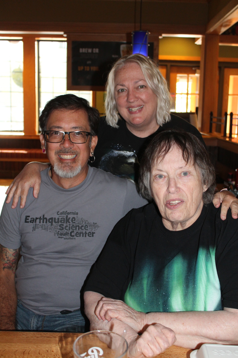
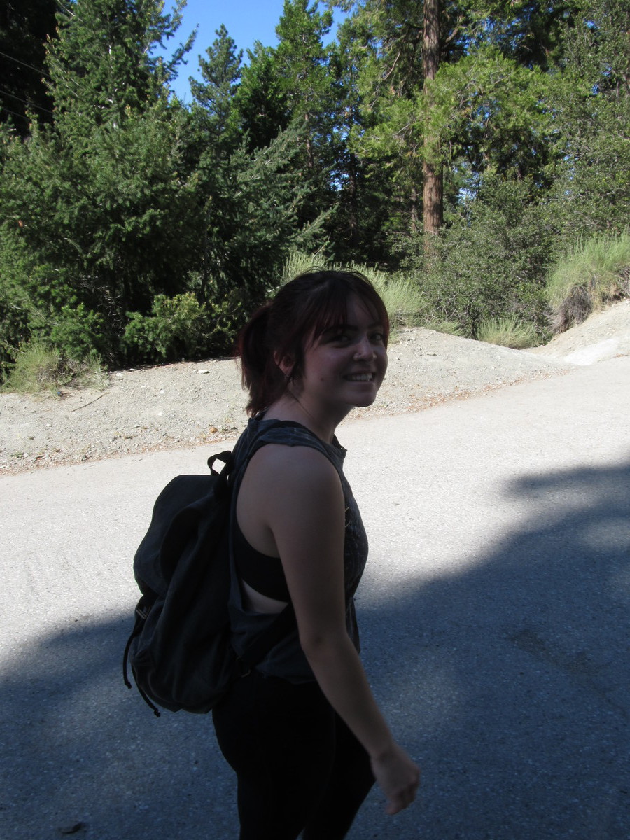
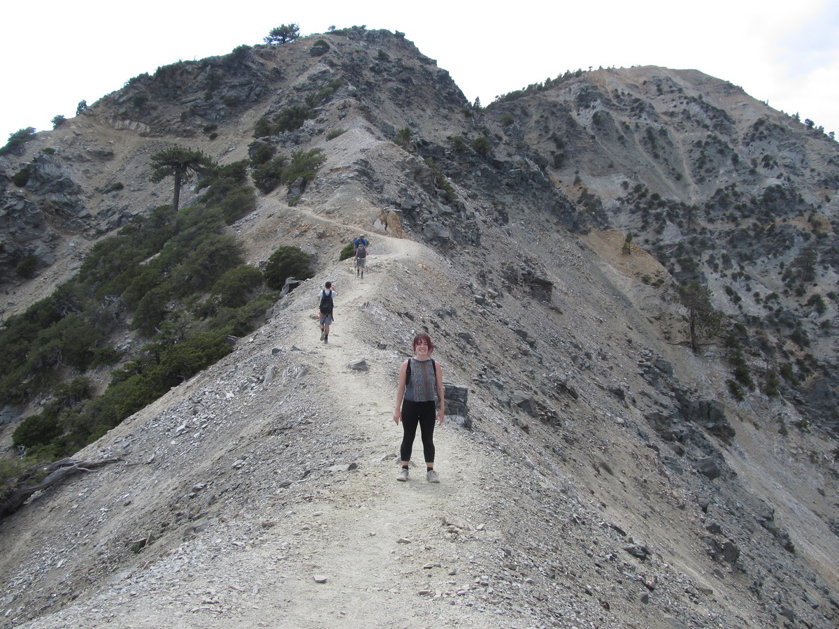
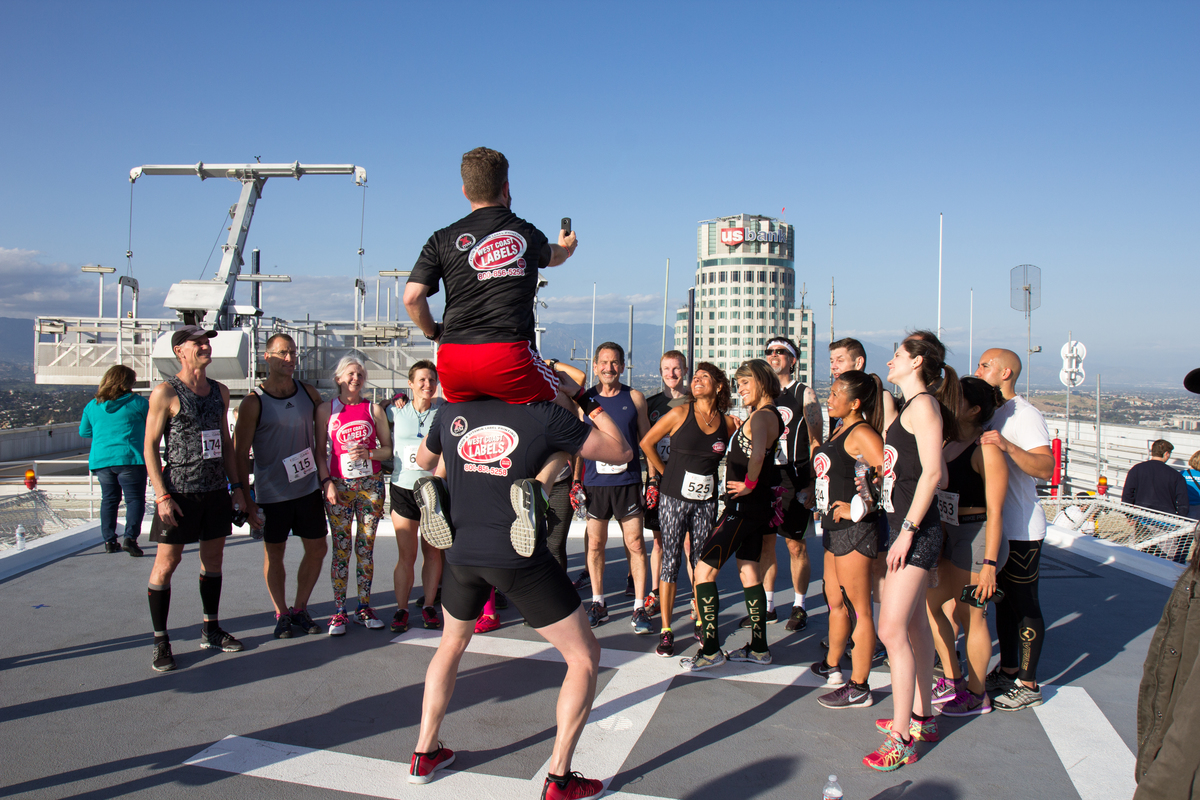
Today was yet another edition of the Atlas Obscura San Andreas Fault Scavenger Hunt. This is the third time I’ve been doing this tour with Atlas Obscura, and it seems to be as popular as ever. This time, my partner for leading the tour was my friend Morgan from the office.
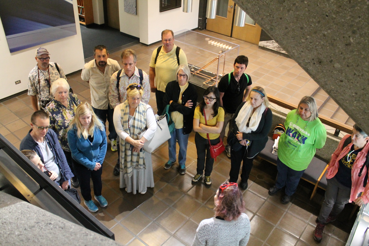
We all met at the Seismo Lab, and we started off with a quick tour of the lab. We saw the lobby exhibits about the history of earthquake study, the media center upstairs, and a small exhibit about Charles Richter and Beno Gutenberg, who started the Seismo Lab and systematic study of earthquakes back in the 1930s.
The first stop of the tour was the small fault scarp next to the McDonald’s drive-through in San Fernando. This is a small remnant from the 1971 Sylmar earthquake.
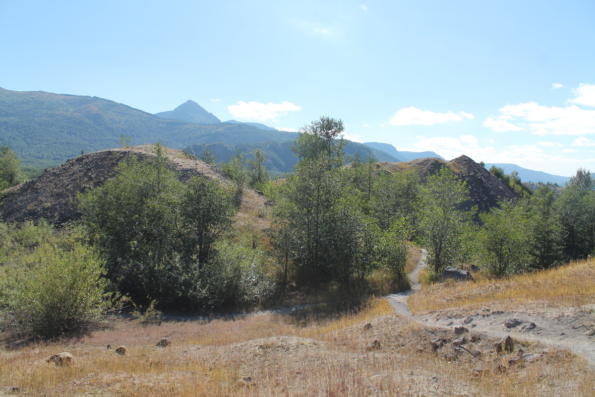
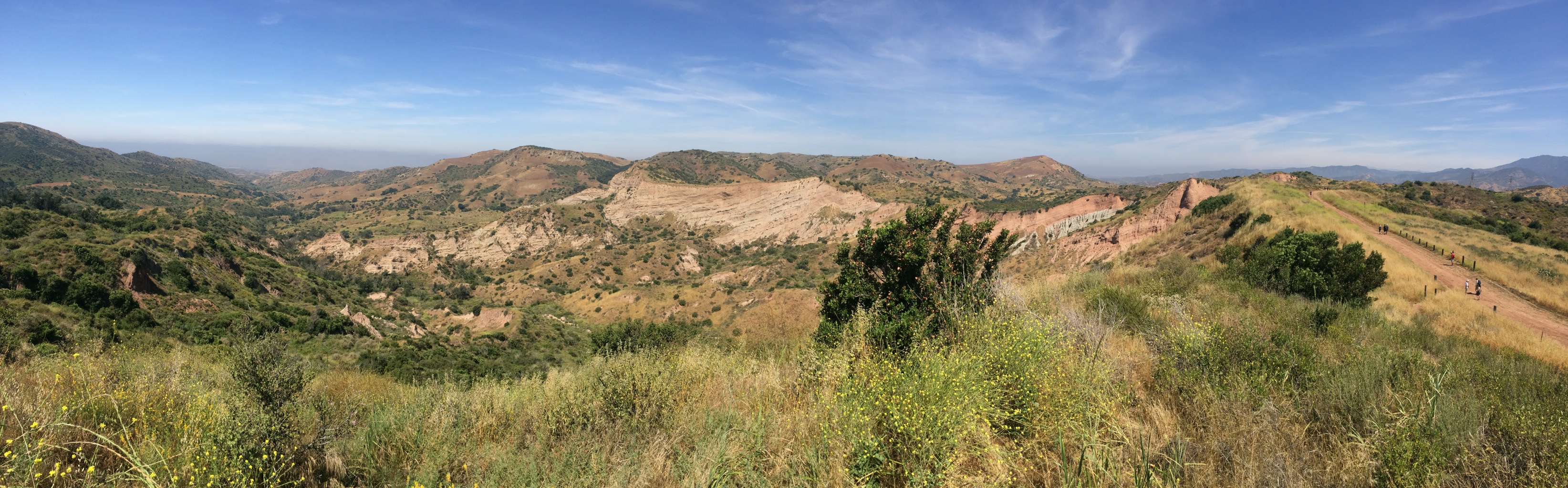
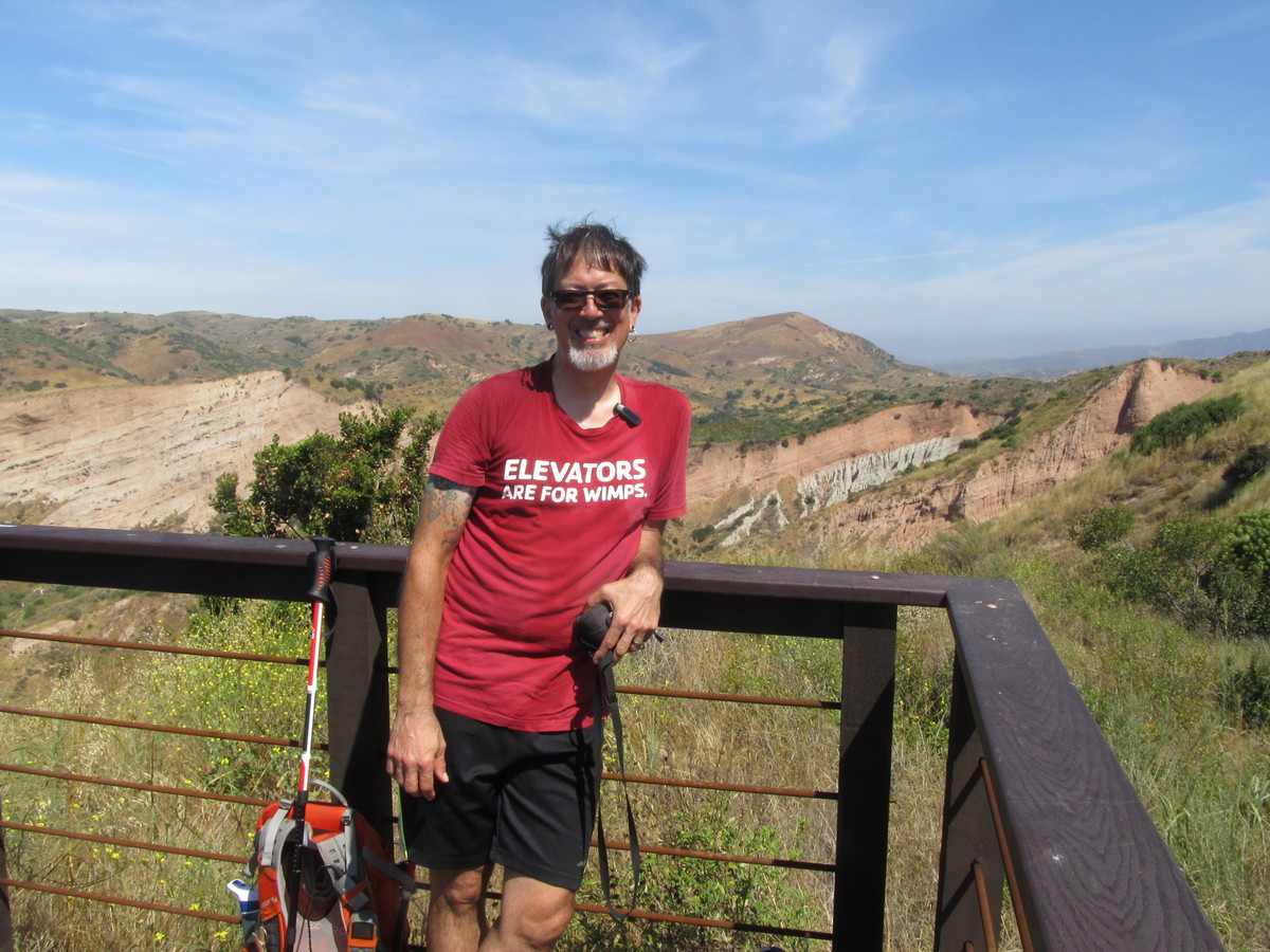
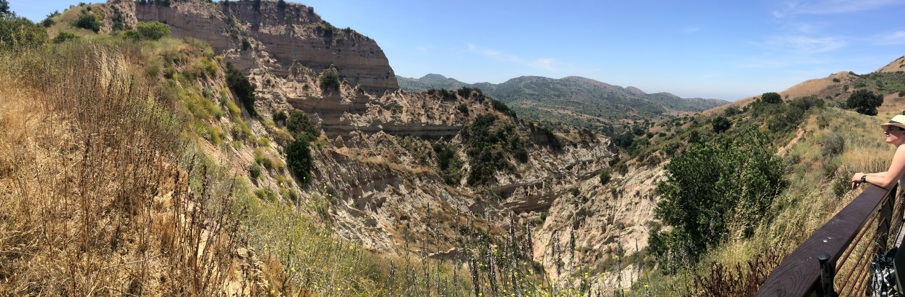
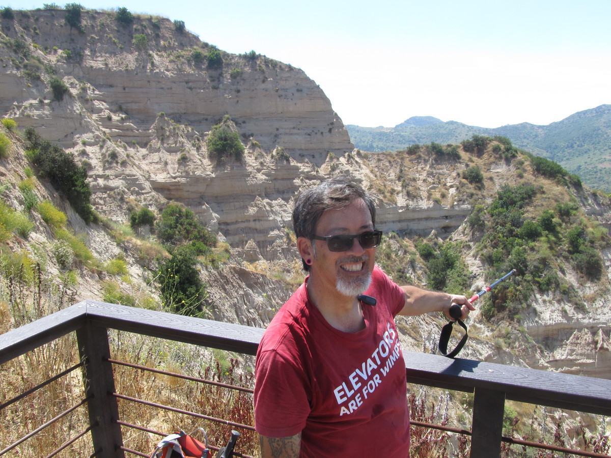
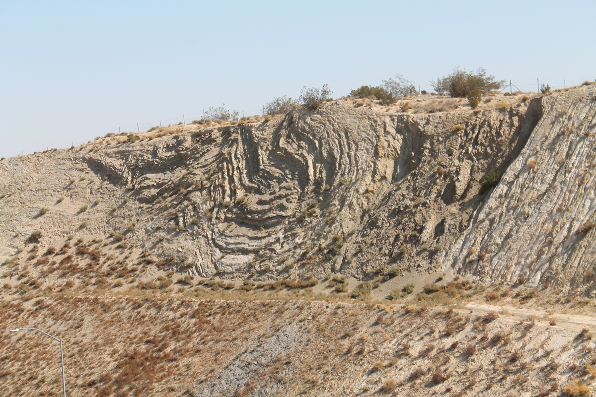
The next stop was the scenic overlook and the famous road cut along the fault in Palmdale. When we were walking up the hill to look at the road cut, we ran across a tour group of students from Long Beach State. They were apparently doing about the same tour as we were, but traveling in the opposite direction.
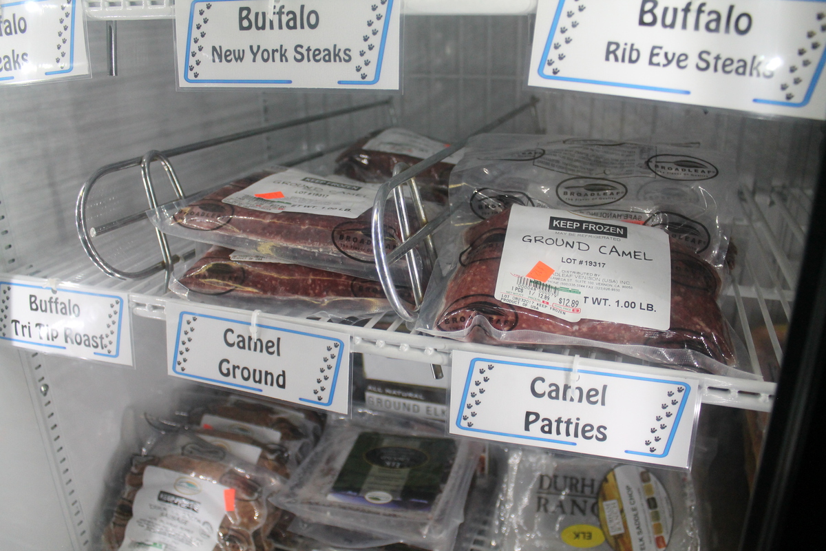
We stopped for lunch at Charlie Brown Farms, which is still a deeply weird place. This time, I noticed that they had camel meat in the freezer. I suppose it tastes like chicken…
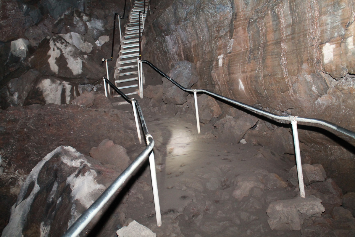
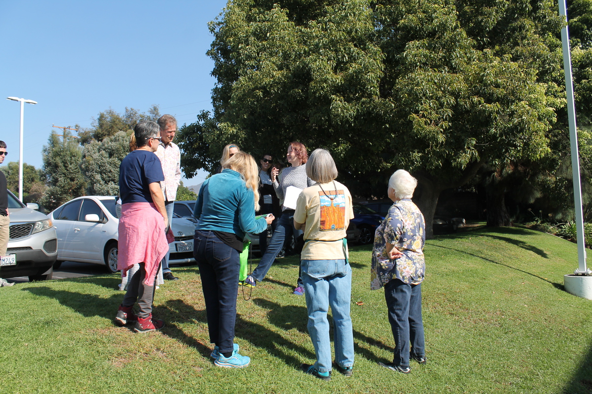
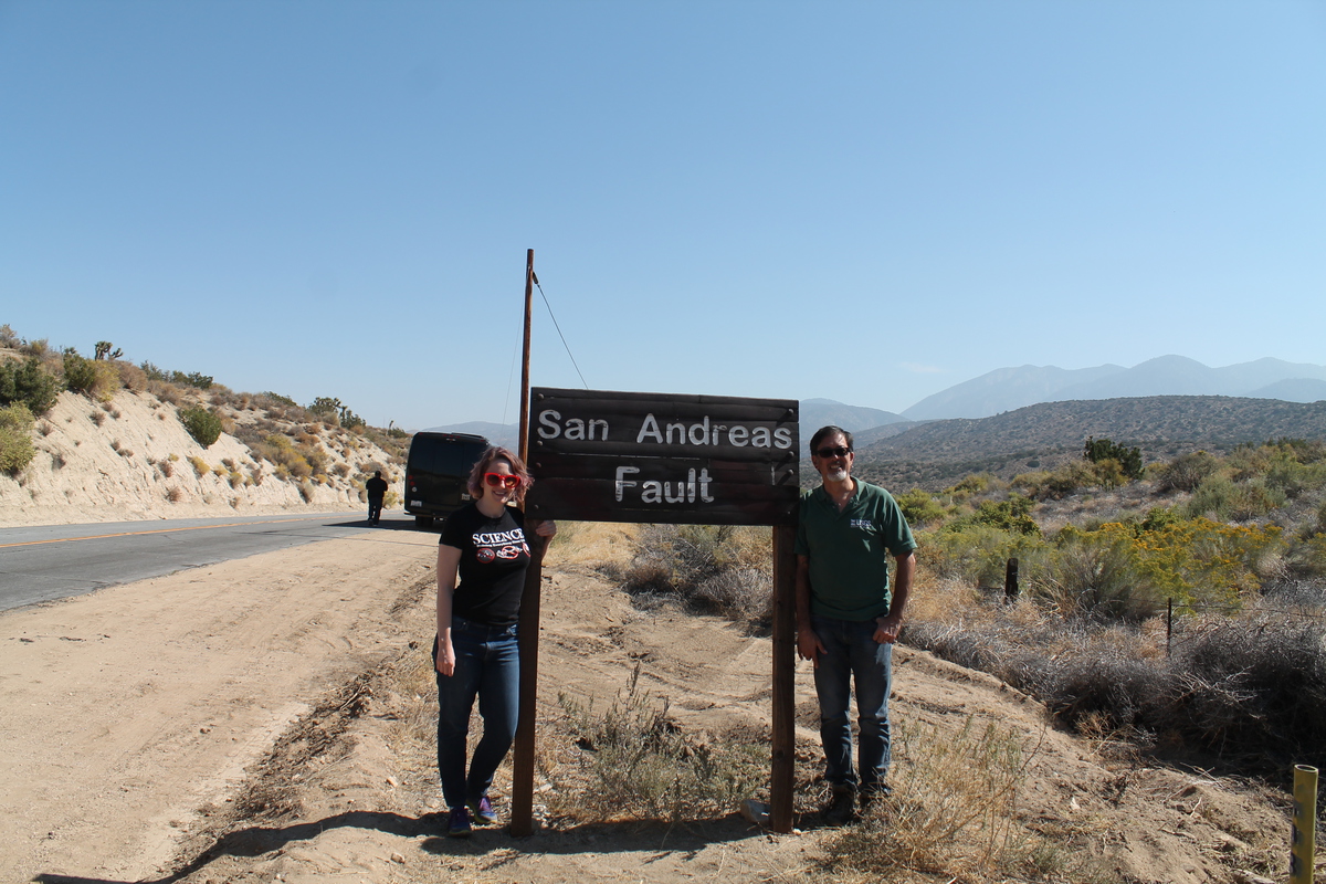
After lunch, we had a pair of stops close together. One at the signs marking the fault, and then at the Pallet Creek trench site, which was where the science of paleoseismology was born. The signs are kind of a silly stop, but it’s a chance for a photo-op. The trench site is interesting from the standpoint of it being important to the history of science.
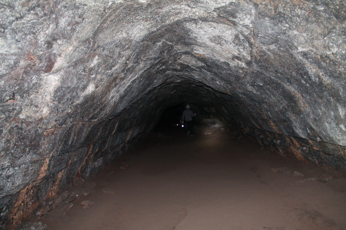
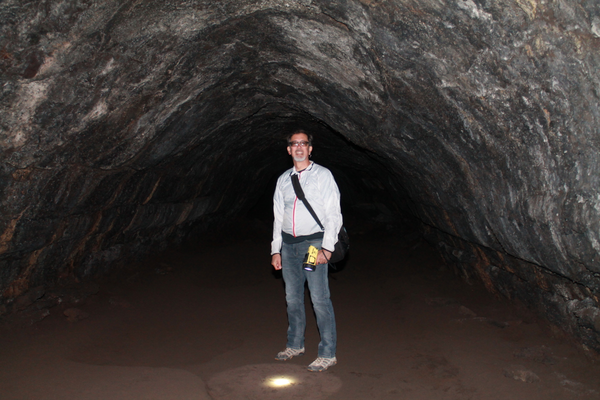
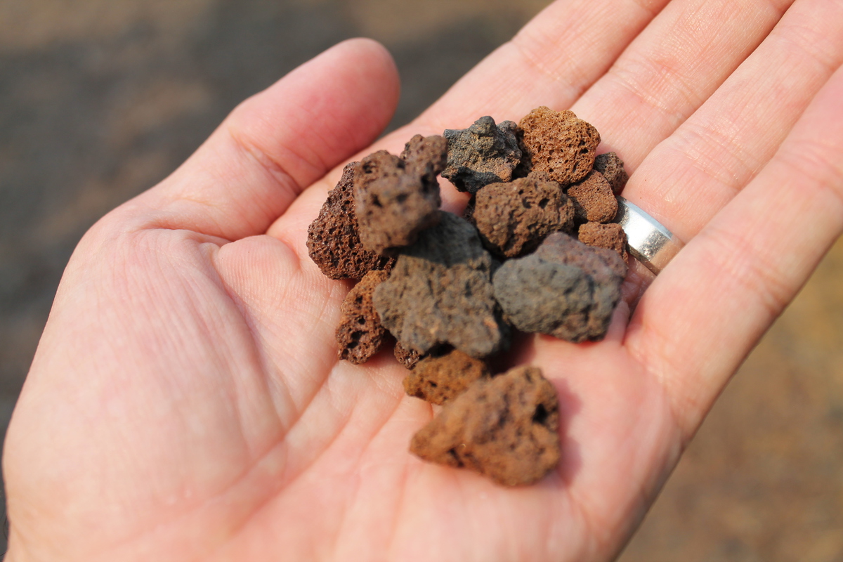
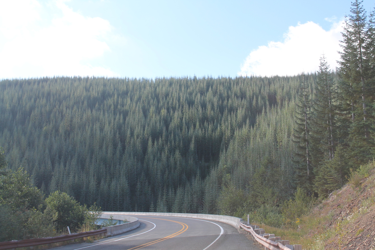
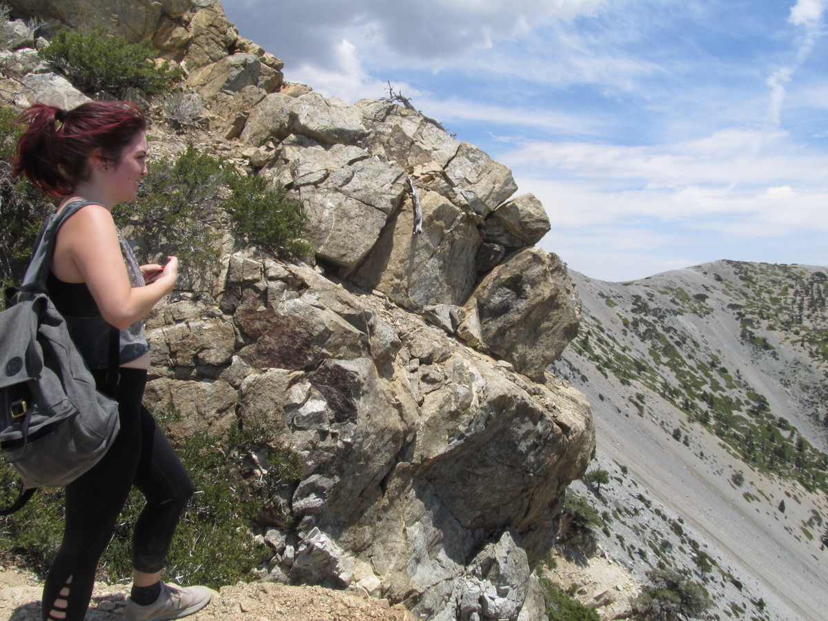
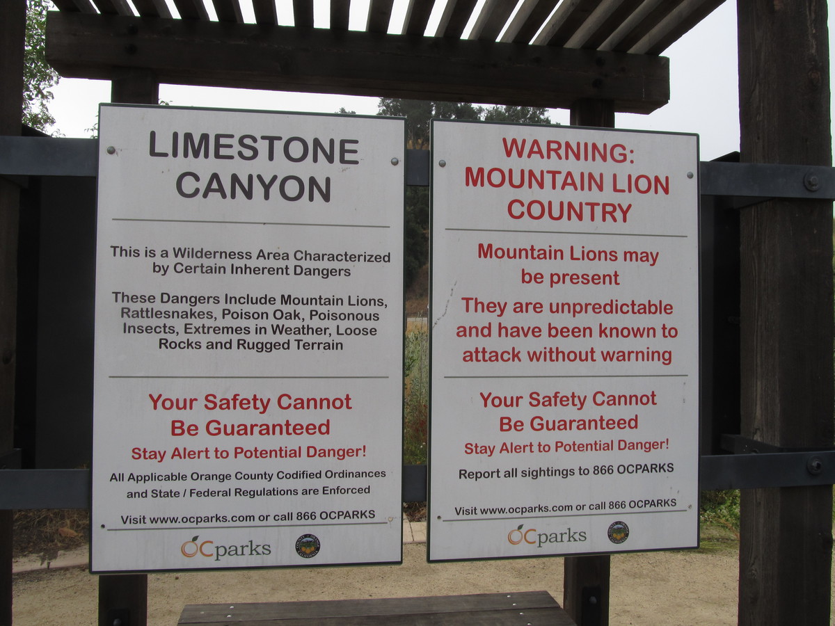
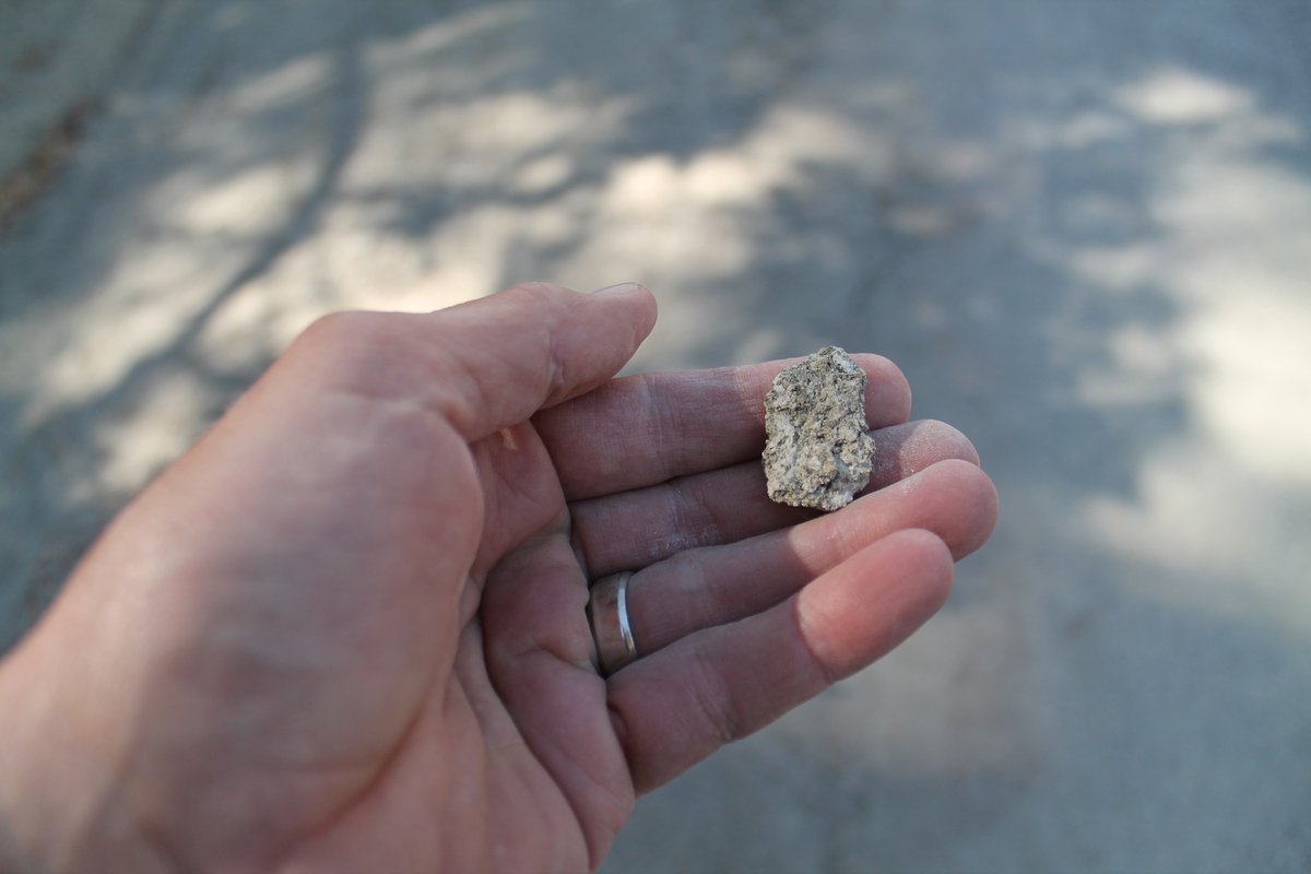
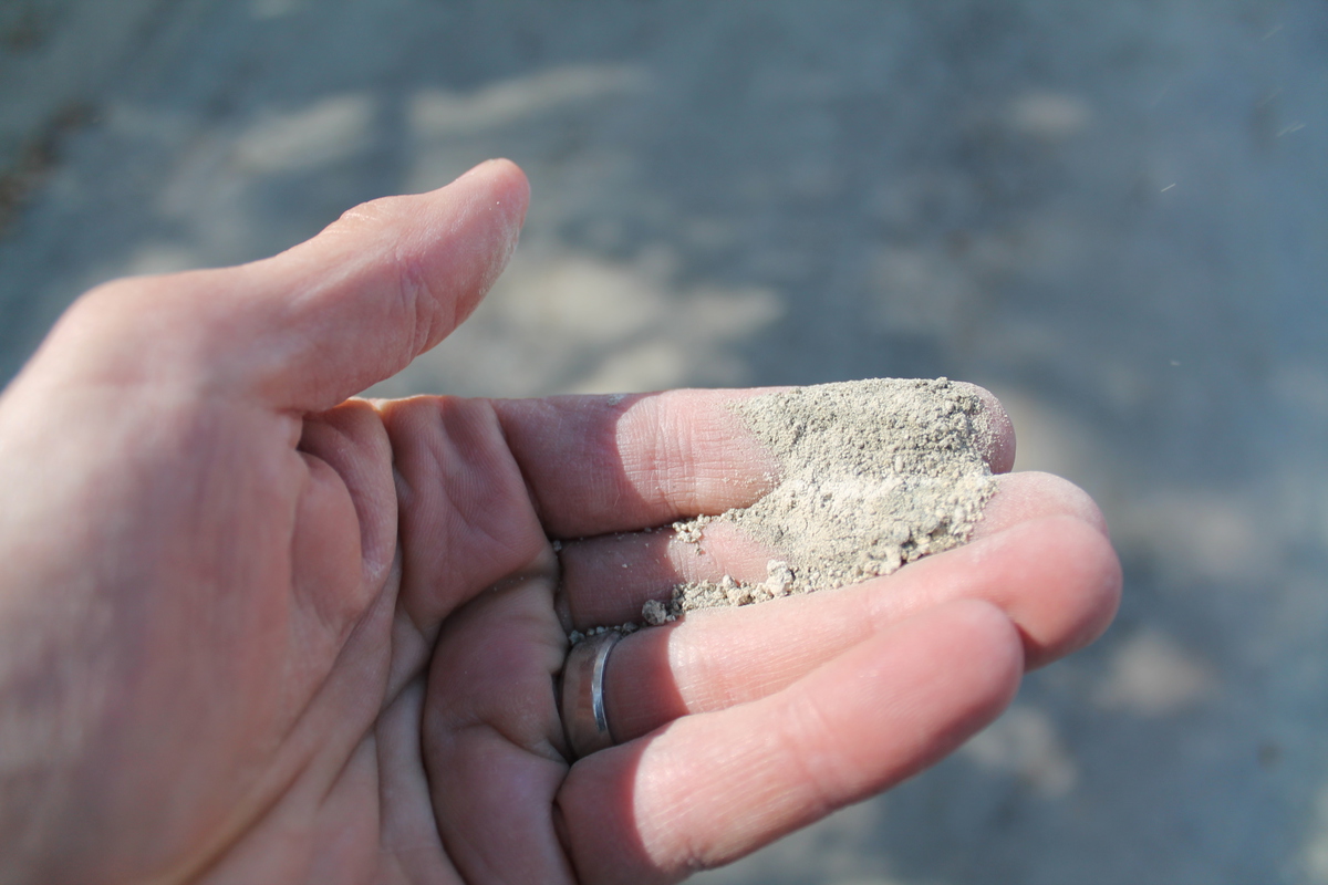
Now it was time to go into the mountains. We stopped at the road cut that has the fault gouge on one side, and we showed everyone how the rocks in the sand could be crushed by hand. That’s always popular. Then we continued on to Wrightwood.
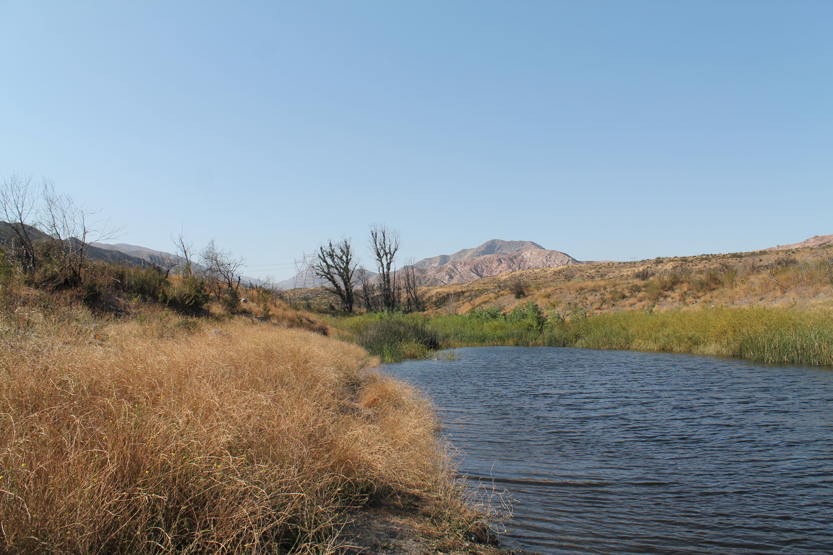
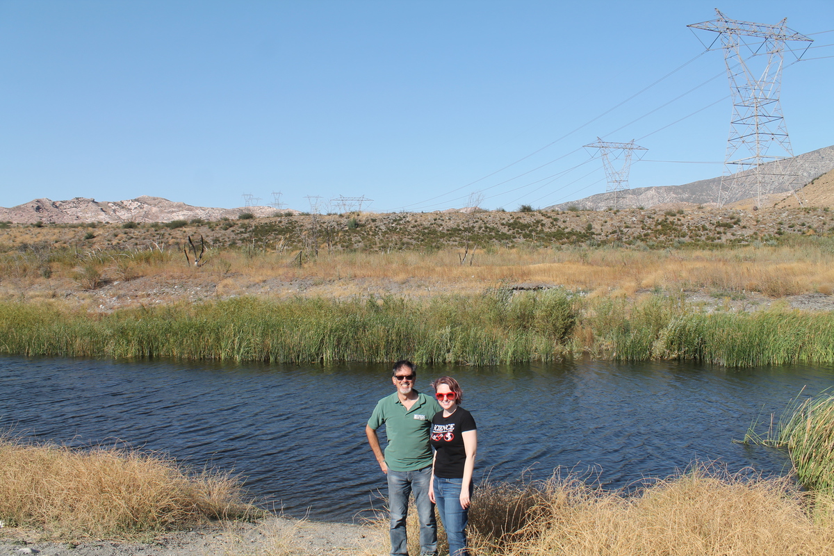
The last stop was at Lost Lake in Cajon Pass. Last year, it was suffering from three years of drought, and the lake had no water in it. But this time, it had some water, and was actually a lake.
And that was our tour.